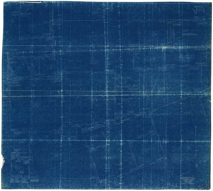
![4939, [Edwards County], General Map Collection](https://historictexasmaps.com/wmedia_w1800h1800/maps/4939-1.tif.jpg)
[Edwards County]
-
Map/Doc
4939
-
Collection
General Map Collection
-
Object Dates
4/14/1900 (Creation Date)
-
Counties
Edwards
-
Subjects
County
-
Height x Width
48.6 x 32.4 inches
123.4 x 82.3 cm
-
Comments
East half of map. For west part, see map 4940.
Related maps
[Edwards County]
![4940, [Edwards County], General Map Collection](https://historictexasmaps.com/wmedia_w700/maps/4940-1.tif.jpg)
Print $40.00
- Digital $50.00
[Edwards County]
1900
Size 48.7 x 32.7 inches
Map/Doc 4940
Part of: General Map Collection
Wilbarger County Sketch File 5

Print $4.00
- Digital $50.00
Wilbarger County Sketch File 5
Size 9.3 x 7.9 inches
Map/Doc 40170
Llano County Working Sketch Graphic Index

Print $20.00
- Digital $50.00
Llano County Working Sketch Graphic Index
1943
Size 43.7 x 42.6 inches
Map/Doc 76624
Burleson County Working Sketch 37

Print $20.00
- Digital $50.00
Burleson County Working Sketch 37
1982
Size 33.7 x 44.3 inches
Map/Doc 67756
Prison Property, Walker Co.

Print $20.00
- Digital $50.00
Prison Property, Walker Co.
Size 24.4 x 23.5 inches
Map/Doc 62976
Brewster County Sketch File N-23

Print $6.00
- Digital $50.00
Brewster County Sketch File N-23
1951
Size 14.4 x 9.0 inches
Map/Doc 15697
Taylor County Rolled Sketch 28

Print $20.00
- Digital $50.00
Taylor County Rolled Sketch 28
Size 34.4 x 23.9 inches
Map/Doc 7921
Upton County Sketch File 45

Print $20.00
- Digital $50.00
Upton County Sketch File 45
1994
Size 11.3 x 8.8 inches
Map/Doc 38933
Trinity River, Watershed

Print $20.00
- Digital $50.00
Trinity River, Watershed
1925
Size 46.9 x 40.5 inches
Map/Doc 65255
Flight Mission No. DQN-1K, Frame 29, Calhoun County

Print $20.00
- Digital $50.00
Flight Mission No. DQN-1K, Frame 29, Calhoun County
1953
Size 15.5 x 15.3 inches
Map/Doc 84134
Dimmit County Boundary File 8

Print $48.00
- Digital $50.00
Dimmit County Boundary File 8
Size 7.2 x 37.2 inches
Map/Doc 52597
Flight Mission No. CGI-1N, Frame 217, Cameron County

Print $20.00
- Digital $50.00
Flight Mission No. CGI-1N, Frame 217, Cameron County
1955
Size 18.6 x 22.2 inches
Map/Doc 84526
Wichita County Sketch File 3

Print $8.00
- Digital $50.00
Wichita County Sketch File 3
1856
Size 7.2 x 16.3 inches
Map/Doc 40033
You may also like
San Jacinto County

Print $40.00
- Digital $50.00
San Jacinto County
1942
Size 48.7 x 43.1 inches
Map/Doc 73282
Hamilton County Map

Print $40.00
- Digital $50.00
Hamilton County Map
1887
Size 38.2 x 54.4 inches
Map/Doc 16844
Caldwell County Working Sketch 4

Print $20.00
- Digital $50.00
Caldwell County Working Sketch 4
1922
Size 46.1 x 43.5 inches
Map/Doc 67834
Atascosa County Rolled Sketch 7

Print $20.00
- Digital $50.00
Atascosa County Rolled Sketch 7
1913
Size 26.1 x 26.7 inches
Map/Doc 5092
San Jacinto County Working Sketch 8
Print $20.00
- Digital $50.00
San Jacinto County Working Sketch 8
1935
Size 38.4 x 42.9 inches
Map/Doc 63721
Lampasas County Sketch File 12

Print $8.00
- Digital $50.00
Lampasas County Sketch File 12
1874
Size 6.0 x 7.9 inches
Map/Doc 29422
Subdivision of the C.C. Slaughter Block No. 1, League 101 & part of League 102, Jeff Davis Co. School Land, part of League 100, Brewster Co. School Land and League 118 & part of Leagues 117 & 119, Knox Co. School Land

Print $20.00
- Digital $50.00
Subdivision of the C.C. Slaughter Block No. 1, League 101 & part of League 102, Jeff Davis Co. School Land, part of League 100, Brewster Co. School Land and League 118 & part of Leagues 117 & 119, Knox Co. School Land
1926
Size 18.8 x 19.4 inches
Map/Doc 90459
Haskell County Sketch File 21

Print $20.00
- Digital $50.00
Haskell County Sketch File 21
1935
Size 30.2 x 20.3 inches
Map/Doc 11744
Crockett County Rolled Sketch 69

Print $40.00
- Digital $50.00
Crockett County Rolled Sketch 69
1949
Size 39.4 x 54.8 inches
Map/Doc 8721
Sketch of surveys in Harrison & Marion Cos. Showing Caddo Lake & Subdivisions

Print $20.00
- Digital $50.00
Sketch of surveys in Harrison & Marion Cos. Showing Caddo Lake & Subdivisions
1955
Size 32.7 x 33.1 inches
Map/Doc 1928
Amistad International Reservoir on Rio Grande 65

Print $20.00
- Digital $50.00
Amistad International Reservoir on Rio Grande 65
1949
Size 28.2 x 39.8 inches
Map/Doc 73350
English Field Notes of the Spanish Archives - Book 2

English Field Notes of the Spanish Archives - Book 2
1835
Map/Doc 96528