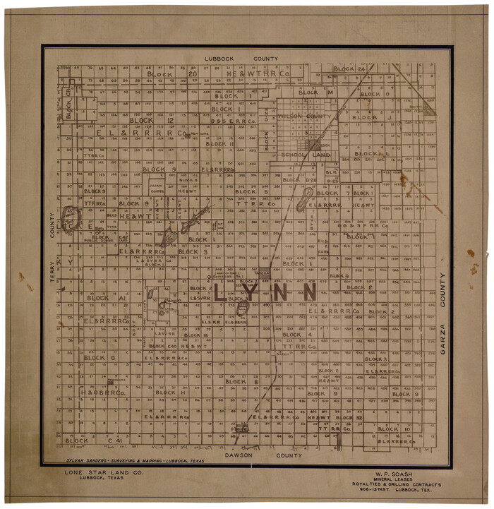
[C. C. S. D. & R. G. N. G Ry. Co. Block in NW of County]
69-3
-
Map/Doc
90821
-
Collection
Twichell Survey Records
-
Counties
Edwards
-
Height x Width
17.3 x 22.0 inches
43.9 x 55.9 cm
Part of: Twichell Survey Records
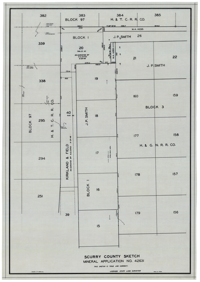
Scurry County Sketch Mineral Application No. 42631

Print $20.00
- Digital $50.00
Scurry County Sketch Mineral Application No. 42631
1950
Size 16.7 x 23.9 inches
Map/Doc 92966
C. A. Pierce's Subdivision of Dick Slaughter Land


Print $20.00
- Digital $50.00
C. A. Pierce's Subdivision of Dick Slaughter Land
Size 37.7 x 17.1 inches
Map/Doc 90301
[T. & P. Block 44, Township 1S]
![90825, [T. & P. Block 44, Township 1S], Twichell Survey Records](https://historictexasmaps.com/wmedia_w700/maps/90825-2.tif.jpg)
![90825, [T. & P. Block 44, Township 1S], Twichell Survey Records](https://historictexasmaps.com/wmedia_w700/maps/90825-2.tif.jpg)
Print $20.00
- Digital $50.00
[T. & P. Block 44, Township 1S]
Size 17.9 x 23.3 inches
Map/Doc 90825
[School Leagues in Bailey and Lamb County]
![90987, [School Leagues in Bailey and Lamb County], Twichell Survey Records](https://historictexasmaps.com/wmedia_w700/maps/90987-2.tif.jpg)
![90987, [School Leagues in Bailey and Lamb County], Twichell Survey Records](https://historictexasmaps.com/wmedia_w700/maps/90987-2.tif.jpg)
Print $20.00
- Digital $50.00
[School Leagues in Bailey and Lamb County]
Size 30.5 x 25.2 inches
Map/Doc 90987
[Map Showing Distances from Marshall]
![89908, [Map Showing Distances from Marshall], Twichell Survey Records](https://historictexasmaps.com/wmedia_w700/maps/89908-1.tif.jpg)
![89908, [Map Showing Distances from Marshall], Twichell Survey Records](https://historictexasmaps.com/wmedia_w700/maps/89908-1.tif.jpg)
Print $40.00
- Digital $50.00
[Map Showing Distances from Marshall]
Size 45.0 x 51.4 inches
Map/Doc 89908
[Public School Land Blocks]
![93151, [Public School Land Blocks], Twichell Survey Records](https://historictexasmaps.com/wmedia_w700/maps/93151-1.tif.jpg)
![93151, [Public School Land Blocks], Twichell Survey Records](https://historictexasmaps.com/wmedia_w700/maps/93151-1.tif.jpg)
Print $40.00
- Digital $50.00
[Public School Land Blocks]
Size 45.0 x 114.7 inches
Map/Doc 93151
[Sketch of J.D. Brown survey and vicinity]
![89965, [Sketch of J.D. Brown survey and vicinity], Twichell Survey Records](https://historictexasmaps.com/wmedia_w700/maps/89965-1.tif.jpg)
![89965, [Sketch of J.D. Brown survey and vicinity], Twichell Survey Records](https://historictexasmaps.com/wmedia_w700/maps/89965-1.tif.jpg)
Print $40.00
- Digital $50.00
[Sketch of J.D. Brown survey and vicinity]
Size 43.5 x 63.0 inches
Map/Doc 89965
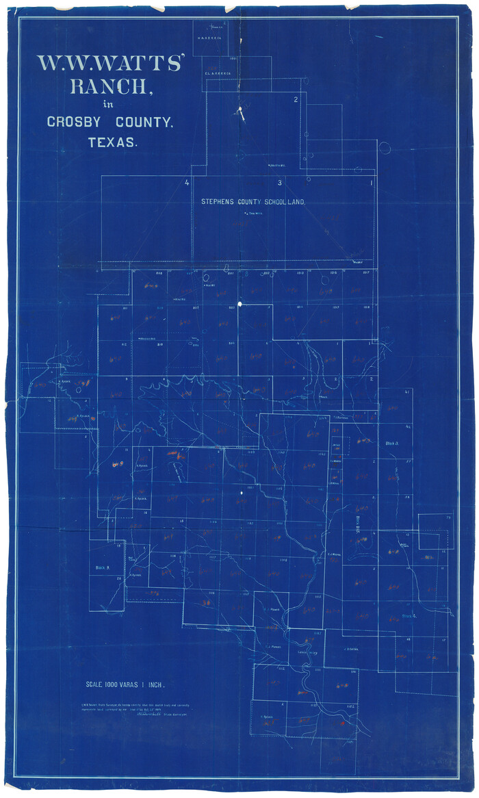
W. W. Watts' Ranch in Crosby County, Texas

Print $20.00
- Digital $50.00
W. W. Watts' Ranch in Crosby County, Texas
1904
Size 17.7 x 28.9 inches
Map/Doc 90485
Mrs. John H. Dean Ranch, Cochran County, Texas


Print $20.00
- Digital $50.00
Mrs. John H. Dean Ranch, Cochran County, Texas
Size 25.4 x 21.1 inches
Map/Doc 92516
[A. McMillan and vicinity]
![91023, [A. McMillan and vicinity], Twichell Survey Records](https://historictexasmaps.com/wmedia_w700/maps/91023-1.tif.jpg)
![91023, [A. McMillan and vicinity], Twichell Survey Records](https://historictexasmaps.com/wmedia_w700/maps/91023-1.tif.jpg)
Print $20.00
- Digital $50.00
[A. McMillan and vicinity]
Size 22.6 x 18.7 inches
Map/Doc 91023
[I. & G. N. Block 1, Runnels County School Land, T. C. Ry. Co. Block Z and G. C. & S. F. RR. Co. Block C-4]
![91661, [I. & G. N. Block 1, Runnels County School Land, T. C. Ry. Co. Block Z and G. C. & S. F. RR. Co. Block C-4], Twichell Survey Records](https://historictexasmaps.com/wmedia_w700/maps/91661-1.tif.jpg)
![91661, [I. & G. N. Block 1, Runnels County School Land, T. C. Ry. Co. Block Z and G. C. & S. F. RR. Co. Block C-4], Twichell Survey Records](https://historictexasmaps.com/wmedia_w700/maps/91661-1.tif.jpg)
Print $20.00
- Digital $50.00
[I. & G. N. Block 1, Runnels County School Land, T. C. Ry. Co. Block Z and G. C. & S. F. RR. Co. Block C-4]
Size 29.7 x 17.9 inches
Map/Doc 91661
You may also like
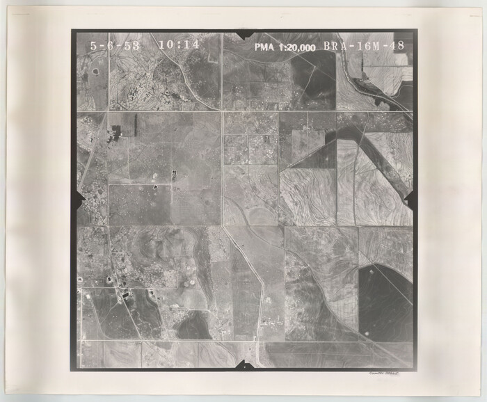
Flight Mission No. BRA-16M, Frame 48, Jefferson County

Print $20.00
- Digital $50.00
Flight Mission No. BRA-16M, Frame 48, Jefferson County
1953
Size 18.6 x 22.5 inches
Map/Doc 85665
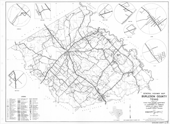
General Highway Map, Burleson County, Texas

Print $20.00
General Highway Map, Burleson County, Texas
1961
Size 18.1 x 24.8 inches
Map/Doc 79391
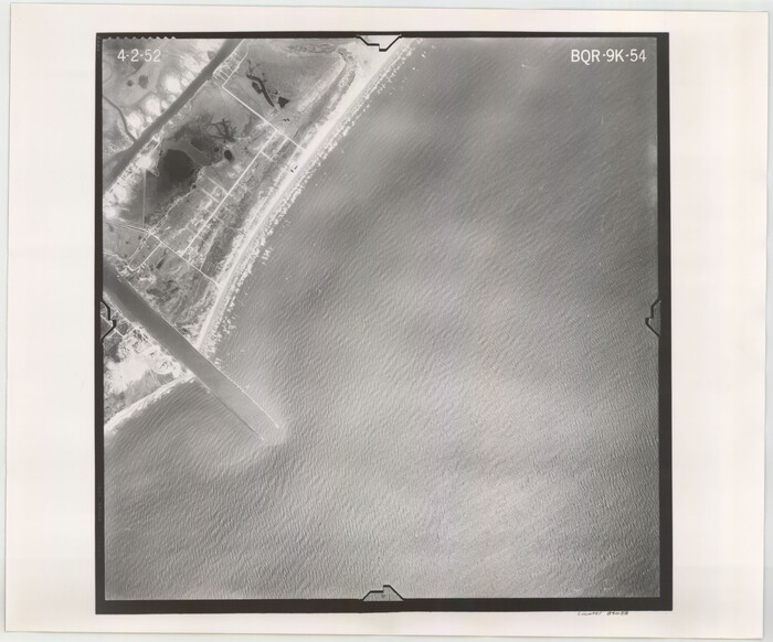
Flight Mission No. BQR-9K, Frame 54, Brazoria County

Print $20.00
- Digital $50.00
Flight Mission No. BQR-9K, Frame 54, Brazoria County
1952
Size 18.5 x 22.3 inches
Map/Doc 84058
Marion County Rolled Sketch 8


Print $20.00
- Digital $50.00
Marion County Rolled Sketch 8
1998
Size 33.0 x 22.1 inches
Map/Doc 6661
Tom Green County Rolled Sketch 12A


Print $40.00
- Digital $50.00
Tom Green County Rolled Sketch 12A
1951
Size 42.9 x 50.4 inches
Map/Doc 10003
[Part of Blocks H. & G. N. 12, University Lands 16 and 17, C-3, C-4, A-2, 194 and Z]
![91621, [Part of Blocks H. & G. N. 12, University Lands 16 and 17, C-3, C-4, A-2, 194 and Z], Twichell Survey Records](https://historictexasmaps.com/wmedia_w700/maps/91621-1.tif.jpg)
![91621, [Part of Blocks H. & G. N. 12, University Lands 16 and 17, C-3, C-4, A-2, 194 and Z], Twichell Survey Records](https://historictexasmaps.com/wmedia_w700/maps/91621-1.tif.jpg)
Print $20.00
- Digital $50.00
[Part of Blocks H. & G. N. 12, University Lands 16 and 17, C-3, C-4, A-2, 194 and Z]
1907
Size 26.1 x 18.9 inches
Map/Doc 91621
Rusk County Sketch File 19a


Print $4.00
Rusk County Sketch File 19a
1860
Size 8.2 x 6.6 inches
Map/Doc 35528
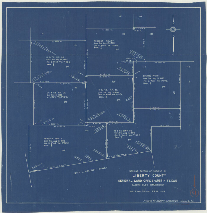
Liberty County Working Sketch 41

Print $20.00
- Digital $50.00
Liberty County Working Sketch 41
1953
Size 21.4 x 20.8 inches
Map/Doc 70500
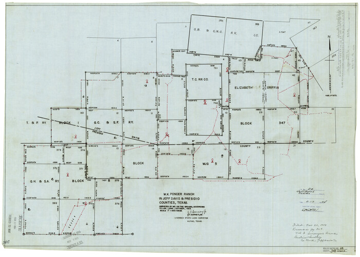
Jeff Davis County Rolled Sketch 24

Print $20.00
- Digital $50.00
Jeff Davis County Rolled Sketch 24
1953
Size 23.2 x 32.5 inches
Map/Doc 6372
Gulf of Mexico


Print $20.00
- Digital $50.00
Gulf of Mexico
1900
Size 18.3 x 28.1 inches
Map/Doc 72650
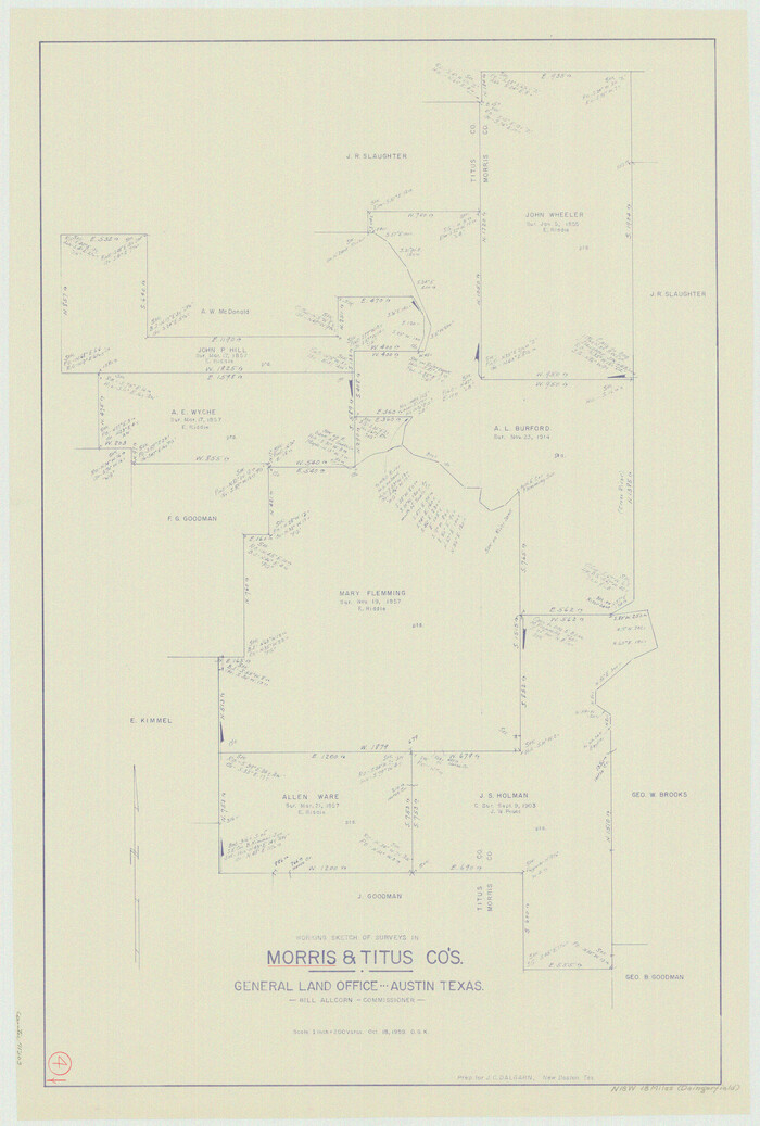
Morris County Working Sketch 4

Print $20.00
- Digital $50.00
Morris County Working Sketch 4
1959
Size 35.2 x 23.8 inches
Map/Doc 71203
![90821, [C. C. S. D. & R. G. N. G Ry. Co. Block in NW of County], Twichell Survey Records](https://historictexasmaps.com/wmedia_w1800h1800/maps/90821-2.tif.jpg)
![94158, Austin Street Map [Recto], General Map Collection](https://historictexasmaps.com/wmedia_w700/maps/94158.tif.jpg)