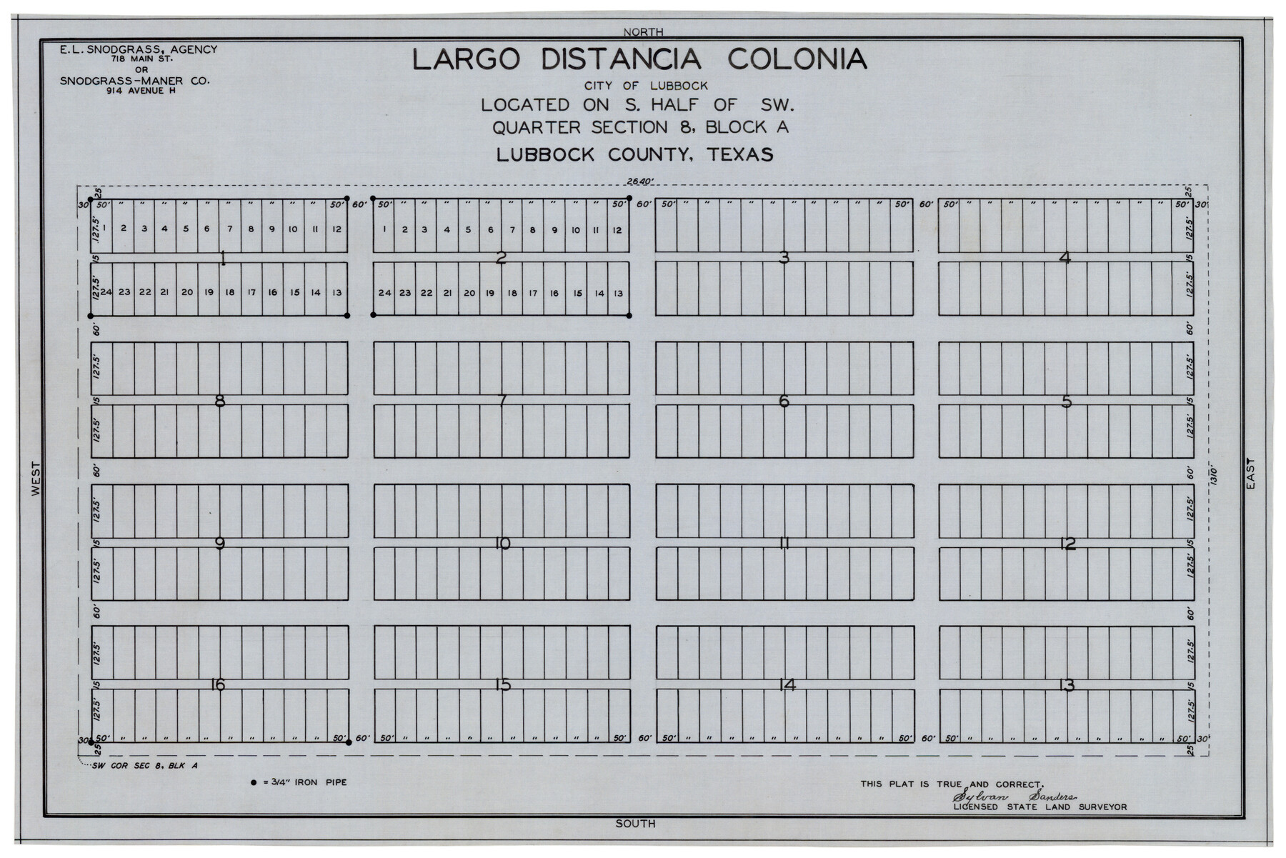
Largo Distancia Colonia Located on S. Half of SW Quarter Section 8, Block A
-
Map/Doc
92765
-
Collection
Twichell Survey Records
-
People and Organizations
Sylvan Sanders (Surveyor/Engineer)
-
Counties
Lubbock
-
Height x Width
20.3 x 13.6 inches
51.6 x 34.5 cm
Part of: Twichell Survey Records
[Blocks M8, M9, M11, W1, RC and A. & B. Block A]
![91931, [Blocks M8, M9, M11, W1, RC and A. & B. Block A], Twichell Survey Records](https://historictexasmaps.com/wmedia_w700/maps/91931-1.tif.jpg)
Print $20.00
- Digital $50.00
[Blocks M8, M9, M11, W1, RC and A. & B. Block A]
Size 32.0 x 25.2 inches
Map/Doc 91931
Lands of C. W. Post in Garza and Lynn Counties, Texas, and Surrounding Lands

Print $20.00
- Digital $50.00
Lands of C. W. Post in Garza and Lynn Counties, Texas, and Surrounding Lands
Size 15.8 x 18.0 inches
Map/Doc 92645
[Blocks M-25 and H]
![92978, [Blocks M-25 and H], Twichell Survey Records](https://historictexasmaps.com/wmedia_w700/maps/92978-1.tif.jpg)
Print $20.00
- Digital $50.00
[Blocks M-25 and H]
1922
Size 17.5 x 13.9 inches
Map/Doc 92978
[Sketch of part of G. & M. Block 5]
![93096, [Sketch of part of G. & M. Block 5], Twichell Survey Records](https://historictexasmaps.com/wmedia_w700/maps/93096-1.tif.jpg)
Print $2.00
- Digital $50.00
[Sketch of part of G. & M. Block 5]
Size 8.1 x 9.3 inches
Map/Doc 93096
[Block 1 PO, Surveys 15, 16, and 17]
![91433, [Block 1 PO, Surveys 15, 16, and 17], Twichell Survey Records](https://historictexasmaps.com/wmedia_w700/maps/91433-1.tif.jpg)
Print $20.00
- Digital $50.00
[Block 1 PO, Surveys 15, 16, and 17]
1906
Size 16.6 x 15.6 inches
Map/Doc 91433
[Capitol Leagues in Lamb County]
![91015, [Capitol Leagues in Lamb County], Twichell Survey Records](https://historictexasmaps.com/wmedia_w700/maps/91015-1.tif.jpg)
Print $2.00
- Digital $50.00
[Capitol Leagues in Lamb County]
1912
Size 12.3 x 8.8 inches
Map/Doc 91015
Outlots Lying Adjacent to Smyer Hockley County, Texas Located on Parts of Labors 7, 8, 13, and 14, League 1. Jones County School Land

Print $20.00
- Digital $50.00
Outlots Lying Adjacent to Smyer Hockley County, Texas Located on Parts of Labors 7, 8, 13, and 14, League 1. Jones County School Land
Size 32.6 x 20.4 inches
Map/Doc 92224
Plat showing proposed Water Permit on Cow Bayou in Orange County, Texas

Print $20.00
- Digital $50.00
Plat showing proposed Water Permit on Cow Bayou in Orange County, Texas
1922
Size 24.3 x 16.4 inches
Map/Doc 93017
[Block C-41, Sections 32, 35, 35 1/2, and vicinity]
![92570, [Block C-41, Sections 32, 35, 35 1/2, and vicinity], Twichell Survey Records](https://historictexasmaps.com/wmedia_w700/maps/92570-1.tif.jpg)
Print $20.00
- Digital $50.00
[Block C-41, Sections 32, 35, 35 1/2, and vicinity]
Size 23.9 x 19.4 inches
Map/Doc 92570

[Part of Connected map of Stephen F. Austin's Colony on file at the GLO]
![90208, [Part of Connected map of Stephen F. Austin's Colony on file at the GLO], Twichell Survey Records](https://historictexasmaps.com/wmedia_w700/maps/90208-1.tif.jpg)
Print $20.00
- Digital $50.00
[Part of Connected map of Stephen F. Austin's Colony on file at the GLO]
1923
Size 18.8 x 18.2 inches
Map/Doc 90208
Heydrick's Ownership Map of Concho Co. Tex.

Print $20.00
- Digital $50.00
Heydrick's Ownership Map of Concho Co. Tex.
1919
Size 33.9 x 37.9 inches
Map/Doc 92616
You may also like
Live Oak County Boundary File 60

Print $12.00
- Digital $50.00
Live Oak County Boundary File 60
Size 8.8 x 7.6 inches
Map/Doc 56401
Harris County NRC Article 33.136 Sketch 1

Print $26.00
- Digital $50.00
Harris County NRC Article 33.136 Sketch 1
2000
Size 24.3 x 36.3 inches
Map/Doc 61595
Map of the St. Louis, Iron Mountain and Southern Railway, and connections

Print $20.00
- Digital $50.00
Map of the St. Louis, Iron Mountain and Southern Railway, and connections
1877
Size 13.0 x 18.9 inches
Map/Doc 95783
Sectional Map No. 2 of the lands and the line of the Texas & Pacific Ry. Co. in Howard, Martin, Andrews, Midland and Tom Green Counties

Print $20.00
- Digital $50.00
Sectional Map No. 2 of the lands and the line of the Texas & Pacific Ry. Co. in Howard, Martin, Andrews, Midland and Tom Green Counties
1885
Size 18.9 x 23.2 inches
Map/Doc 4861
Gillespie County Working Sketch 2

Print $20.00
- Digital $50.00
Gillespie County Working Sketch 2
1958
Size 35.9 x 26.0 inches
Map/Doc 63165
Hamilton County

Print $20.00
- Digital $50.00
Hamilton County
1916
Size 42.3 x 43.2 inches
Map/Doc 66850
San Jacinto County Working Sketch 41

Print $20.00
- Digital $50.00
San Jacinto County Working Sketch 41
1979
Size 44.6 x 35.2 inches
Map/Doc 63754
Ochiltree County

Print $20.00
- Digital $50.00
Ochiltree County
1908
Size 42.5 x 40.6 inches
Map/Doc 66959
Cottle County Sketch File 6

Print $20.00
- Digital $50.00
Cottle County Sketch File 6
1883
Size 20.3 x 29.8 inches
Map/Doc 11190
Crockett County Sketch File 15

Print $24.00
- Digital $50.00
Crockett County Sketch File 15
1880
Size 9.1 x 8.0 inches
Map/Doc 19666
[I. & G. N. Block 1, Secs. 65-75]
![90307, [I. & G. N. Block 1, Secs. 65-75], Twichell Survey Records](https://historictexasmaps.com/wmedia_w700/maps/90307-1.tif.jpg)
Print $20.00
- Digital $50.00
[I. & G. N. Block 1, Secs. 65-75]
1928
Size 22.0 x 18.0 inches
Map/Doc 90307
Fort Bend County Working Sketch 10

Print $20.00
- Digital $50.00
Fort Bend County Working Sketch 10
1934
Size 30.6 x 20.2 inches
Map/Doc 69216