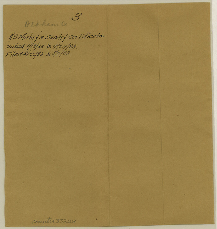
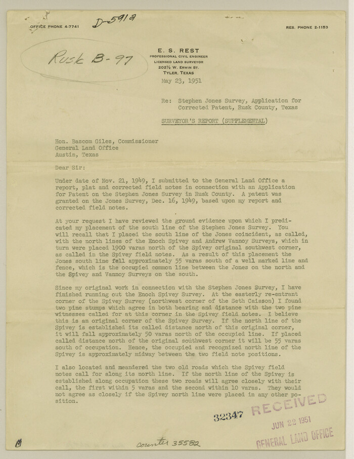
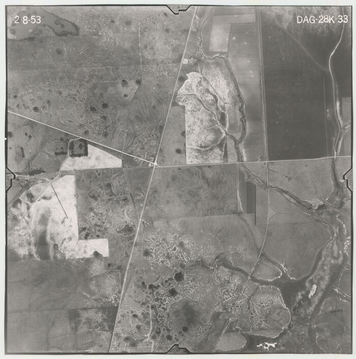
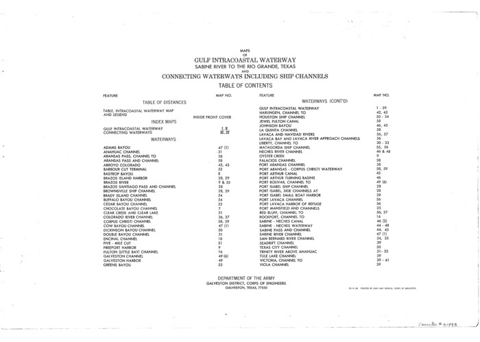
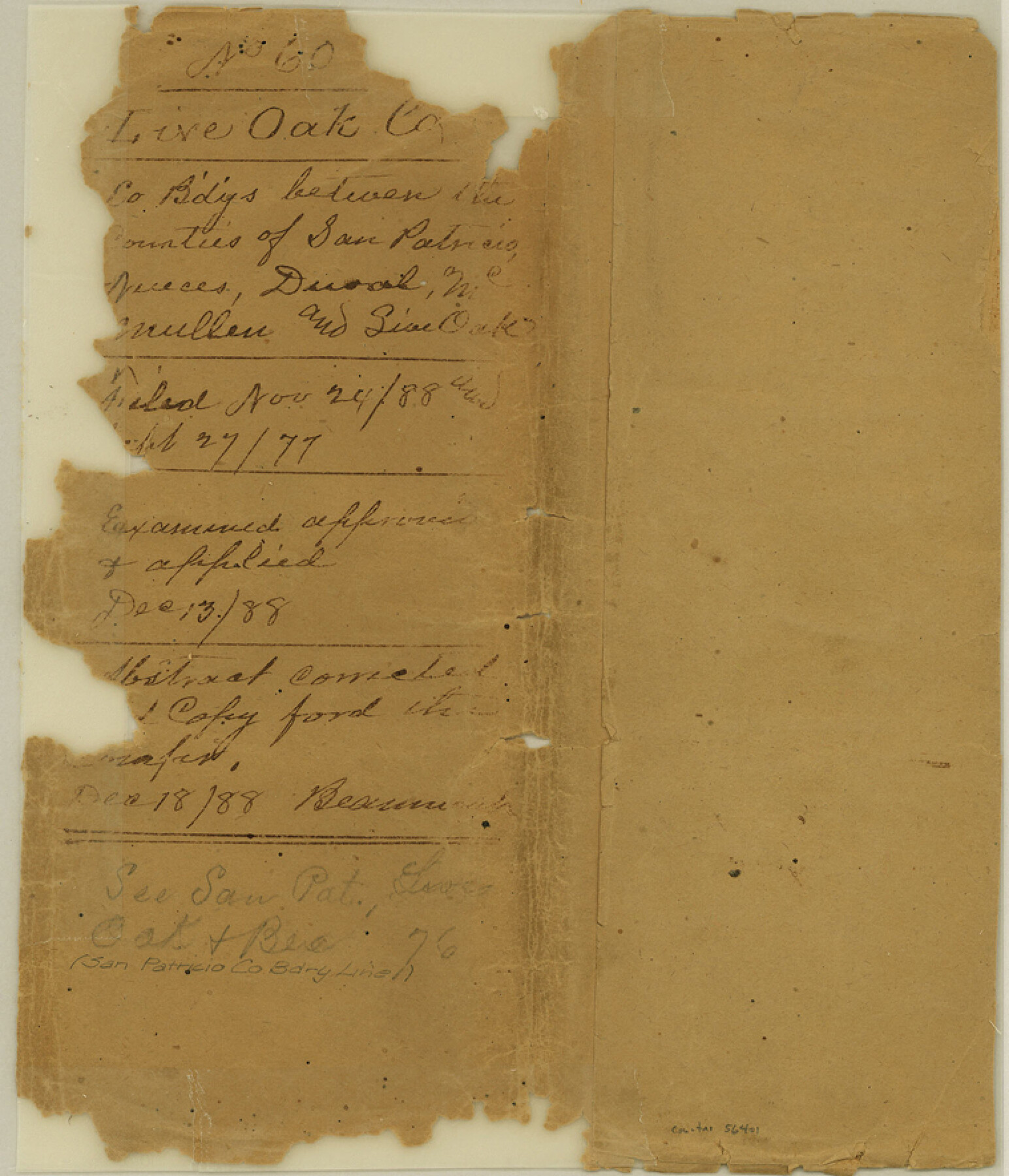
Live Oak County Boundary File 60
Boundary Line between Live Oak & Nueces
- 
                          Map/Doc56401
- 
                            CollectionGeneral Map Collection
- 
                            CountiesLive Oak
- 
                            SubjectsCounty Boundaries
- 
                            Height x Width8.8 x 7.6 inches22.4 x 19.3 cm
Part of: General Map Collection
            Liberty County Working Sketch 5


                                            Print $20.00                    
                                             -                         Digital $50.00                                    
                Liberty County Working Sketch 5
1901
Size 41.9 x 36.5 inches
                                Map/Doc 70464
            
            Hockley County Rolled Sketch 7


                                            Print $40.00                    
                                             -                         Digital $50.00                                    
                Hockley County Rolled Sketch 7
Size 41.4 x 56.6 inches
                                Map/Doc 9176
            
            Texas Intracoastal Waterway - Matagorda Bay, Cedar Lakes to Oyster Lake


                                            Print $20.00                    
                                             -                         Digital $50.00                                    
                Texas Intracoastal Waterway - Matagorda Bay, Cedar Lakes to Oyster Lake
1956
Size 27.3 x 38.9 inches
                                Map/Doc 73367
            
            Harris County Working Sketch 65


                                            Print $20.00                    
                                             -                         Digital $50.00                                    
                Harris County Working Sketch 65
1955
Size 29.5 x 28.6 inches
                                Map/Doc 65957
            
            Old Miscellaneous File 25


                                            Print $40.00                    
                                             -                         Digital $50.00                                    
                Old Miscellaneous File 25
Size 17.8 x 15.2 inches
                                Map/Doc 75632
            
            G. C. & S. F. Ry., San Saba Branch, Texas, Right of Way Map, Hall to Brady


                                            Print $20.00                    
                                             -                         Digital $50.00                                    
                G. C. & S. F. Ry., San Saba Branch, Texas, Right of Way Map, Hall to Brady
1916
Size 36.9 x 34.0 inches
                                Map/Doc 61419
            
            Hardin County Sketch File 47


                                            Print $4.00                    
                                             -                         Digital $50.00                                    
                Hardin County Sketch File 47
1875
Size 7.2 x 7.2 inches
                                Map/Doc 25200
            
            Hale County Boundary File 4a


                                            Print $60.00                    
                                             -                         Digital $50.00                                    
                Hale County Boundary File 4a
Size 31.2 x 41.9 inches
                                Map/Doc 54068
            
            Map of the State University & Public School Lands in Reeves and El Paso Cos.


                                            Print $40.00                    
                                             -                         Digital $50.00                                    
                Map of the State University & Public School Lands in Reeves and El Paso Cos.
1884
Size 39.1 x 56.3 inches
                                Map/Doc 2434
            
            Map of Dallas County


                                            Print $20.00                    
                                             -                         Digital $50.00                                    
                Map of Dallas County
Size 22.2 x 18.5 inches
                                Map/Doc 3464
            
            Dawson County Sketch File 25


                                            Print $4.00                    
                                             -                         Digital $50.00                                    
                Dawson County Sketch File 25
1950
Size 11.9 x 8.9 inches
                                Map/Doc 20581
            
            Map of Polk County


                                            Print $20.00                    
                                             -                         Digital $50.00                                    
                Map of Polk County
1856
Size 22.1 x 23.7 inches
                                Map/Doc 3961
            You may also like
            Erath County Working Sketch 44


                                            Print $20.00                    
                                             -                         Digital $50.00                                    
                Erath County Working Sketch 44
1981
Size 29.7 x 30.4 inches
                                Map/Doc 69125
            
            Hidalgo County Rolled Sketch 7


                                            Print $20.00                    
                                             -                         Digital $50.00                                    
                Hidalgo County Rolled Sketch 7
1905
Size 20.4 x 26.1 inches
                                Map/Doc 6208
            
            Grayson County Working Sketch 17


                                            Print $20.00                    
                                             -                         Digital $50.00                                    
                Grayson County Working Sketch 17
1955
Size 16.0 x 42.5 inches
                                Map/Doc 63256
            
            Flight Mission No. DAG-21K, Frame 133, Matagorda County


                                            Print $20.00                    
                                             -                         Digital $50.00                                    
                Flight Mission No. DAG-21K, Frame 133, Matagorda County
1952
Size 18.6 x 22.4 inches
                                Map/Doc 86459
            
            Hutchinson County Working Sketch Graphic Index - sheet 2


                                            Print $20.00                    
                                             -                         Digital $50.00                                    
                Hutchinson County Working Sketch Graphic Index - sheet 2
1922
Size 43.8 x 36.7 inches
                                Map/Doc 76587
            
            Crockett County Rolled Sketch 98


                                            Print $40.00                    
                                             -                         Digital $50.00                                    
                Crockett County Rolled Sketch 98
2021
Size 36.5 x 48.3 inches
                                Map/Doc 96577
            
            A New Chart of the World on Mercator's Projection: Exhibiting the Tracks & Discoveries of the most Eminent Navigators, to the Present Period


                                            Print $20.00                    
                                             -                         Digital $50.00                                    
                A New Chart of the World on Mercator's Projection: Exhibiting the Tracks & Discoveries of the most Eminent Navigators, to the Present Period
1801
Size 20.0 x 22.4 inches
                                Map/Doc 97249
            
            Outer Continental Shelf Leasing Maps (Texas Offshore Operations)


                                            Print $20.00                    
                                             -                         Digital $50.00                                    
                Outer Continental Shelf Leasing Maps (Texas Offshore Operations)
1954
Size 22.3 x 17.3 inches
                                Map/Doc 75833
            
            [Surveys just south of Runnels County School Land Survey No. 3]
            
                                    ![91552, [Surveys just south of Runnels County School Land Survey No. 3], Twichell Survey Records](https://historictexasmaps.com/wmedia_w700/maps/91552-1.tif.jpg) 


    ![91552, [Surveys just south of Runnels County School Land Survey No. 3], Twichell Survey Records](https://historictexasmaps.com/wmedia_w700/maps/91552-1.tif.jpg) 
                                
            
                                            Print $20.00                    
                                             -                         Digital $50.00                                    
                [Surveys just south of Runnels County School Land Survey No. 3]
1926
Size 19.4 x 13.1 inches
                                Map/Doc 91552
            
            Scurry County Rolled Sketch 5


                                            Print $40.00                    
                                             -                         Digital $50.00                                    
                Scurry County Rolled Sketch 5
Size 48.4 x 41.1 inches
                                Map/Doc 9913
            
            Reagan County Rolled Sketch 20


                                            Print $20.00                    
                                             -                         Digital $50.00                                    
                Reagan County Rolled Sketch 20
1948
Size 45.8 x 45.0 inches
                                Map/Doc 9814