[Rosebud Station Map - Tracks and Structures - Lands, San Antonio and Aransas Pass Railway Co.]
Z-2-72, K-7-72
-
Map/Doc
62566
-
Collection
General Map Collection
-
Object Dates
1927/12/31 (Revision Date)
1919 (Creation Date)
-
People and Organizations
L. A. (Surveyor/Engineer)
E. L. V. (Draftsman)
-
Counties
Falls
-
Subjects
Railroads
-
Height x Width
11.7 x 18.6 inches
29.7 x 47.2 cm
-
Medium
paper, photocopy
-
Scale
1 inch = 100 feet
-
Comments
Right of Way Location Map
-
Features
SA&AP
Negro Dwelling
Avenue A
Avenue B
Avenue C
Avenue D
Avenue E
Avenue F
Fifth Street
Sixth Street
Seventh Street
Hull House
Part of: General Map Collection
Nueces County Sketch File 66


Print $18.00
- Digital $50.00
Nueces County Sketch File 66
1981
Size 14.3 x 8.8 inches
Map/Doc 32989
Winkler County Working Sketch 21


Print $20.00
- Digital $50.00
Winkler County Working Sketch 21
2015
Size 33.2 x 45.7 inches
Map/Doc 93728
Matagorda County Rolled Sketch 23
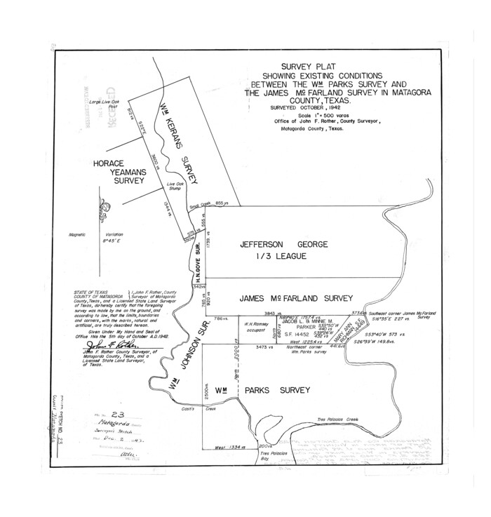

Print $20.00
- Digital $50.00
Matagorda County Rolled Sketch 23
1942
Size 25.0 x 23.8 inches
Map/Doc 6690
Gaines County Rolled Sketch 14B


Print $40.00
- Digital $50.00
Gaines County Rolled Sketch 14B
1940
Size 142.9 x 24.0 inches
Map/Doc 9032
Flight Mission No. DQN-1K, Frame 42, Calhoun County
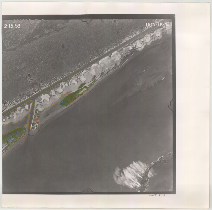

Print $20.00
- Digital $50.00
Flight Mission No. DQN-1K, Frame 42, Calhoun County
1953
Size 18.5 x 18.7 inches
Map/Doc 84142
Chambers County NRC Article 33.136 Sketch 15


Print $62.00
Chambers County NRC Article 33.136 Sketch 15
2025
Map/Doc 97510
Panola County Working Sketch 25
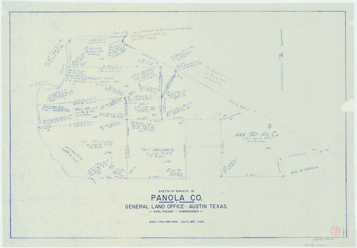

Print $20.00
- Digital $50.00
Panola County Working Sketch 25
1957
Map/Doc 71434
Map of Castro County
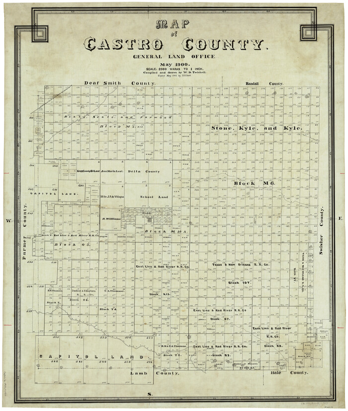

Print $20.00
- Digital $50.00
Map of Castro County
1900
Size 43.0 x 37.3 inches
Map/Doc 4906
Blanco County Boundary File 53


Print $50.00
- Digital $50.00
Blanco County Boundary File 53
Size 9.2 x 7.7 inches
Map/Doc 50580
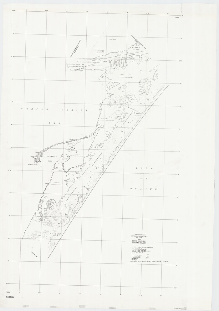
Texas, Corpus Christi Bay, Mustang Island

Print $40.00
- Digital $50.00
Texas, Corpus Christi Bay, Mustang Island
1934
Size 49.6 x 35.0 inches
Map/Doc 73462
Oldham County Sketch File 7

Print $86.00
- Digital $50.00
Oldham County Sketch File 7
1885
Size 9.4 x 9.1 inches
Map/Doc 33236
You may also like
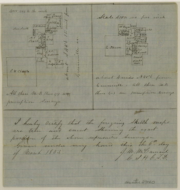
Hunt County Sketch File 20

Print $4.00
- Digital $50.00
Hunt County Sketch File 20
1853
Size 8.3 x 7.9 inches
Map/Doc 27120
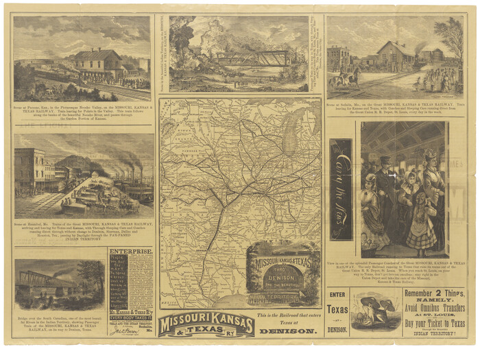
Missouri, Kansas & Texas Ry. thro' Denison and the beautiful Indian Territory

Print $20.00
- Digital $50.00
Missouri, Kansas & Texas Ry. thro' Denison and the beautiful Indian Territory
1877
Size 15.7 x 21.7 inches
Map/Doc 95805
Galveston County Sketch File 40
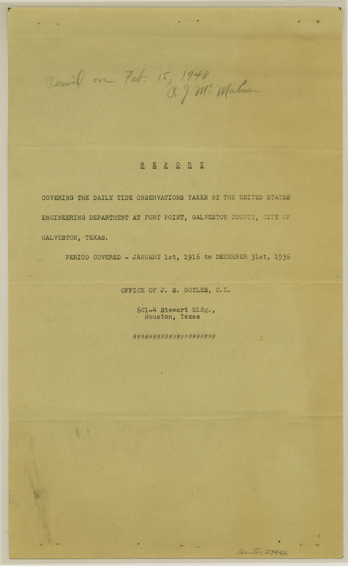

Print $18.00
- Digital $50.00
Galveston County Sketch File 40
1937
Size 14.3 x 8.8 inches
Map/Doc 23442
Culberson County Sketch File 4
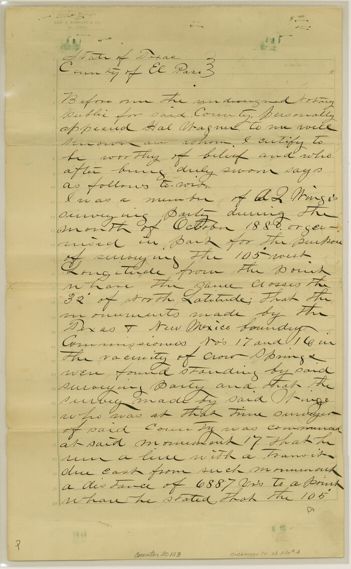

Print $56.00
- Digital $50.00
Culberson County Sketch File 4
1881
Size 14.3 x 8.8 inches
Map/Doc 20123
Reagan County Rolled Sketch 29B
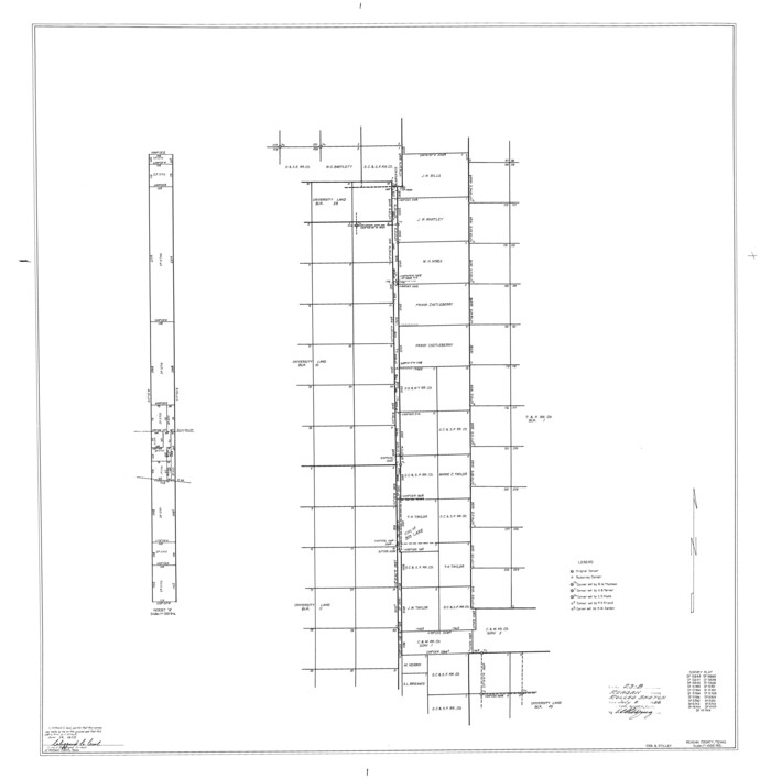

Print $20.00
- Digital $50.00
Reagan County Rolled Sketch 29B
1955
Size 36.5 x 36.1 inches
Map/Doc 9826
Flight Mission No. CUG-1P, Frame 69, Kleberg County


Print $20.00
- Digital $50.00
Flight Mission No. CUG-1P, Frame 69, Kleberg County
1956
Size 18.6 x 22.3 inches
Map/Doc 86134
[Surveys along the Frio River]
![129, [Surveys along the Frio River], General Map Collection](https://historictexasmaps.com/wmedia_w700/maps/129.tif.jpg)
![129, [Surveys along the Frio River], General Map Collection](https://historictexasmaps.com/wmedia_w700/maps/129.tif.jpg)
Print $20.00
- Digital $50.00
[Surveys along the Frio River]
1841
Size 12.0 x 16.6 inches
Map/Doc 129
[South line of Blocks B24, B25, and B26]
![90463, [South line of Blocks B24, B25, and B26], Twichell Survey Records](https://historictexasmaps.com/wmedia_w700/maps/90463-1.tif.jpg)
![90463, [South line of Blocks B24, B25, and B26], Twichell Survey Records](https://historictexasmaps.com/wmedia_w700/maps/90463-1.tif.jpg)
Print $2.00
- Digital $50.00
[South line of Blocks B24, B25, and B26]
1936
Size 14.6 x 9.0 inches
Map/Doc 90463
Red River County Working Sketch 33
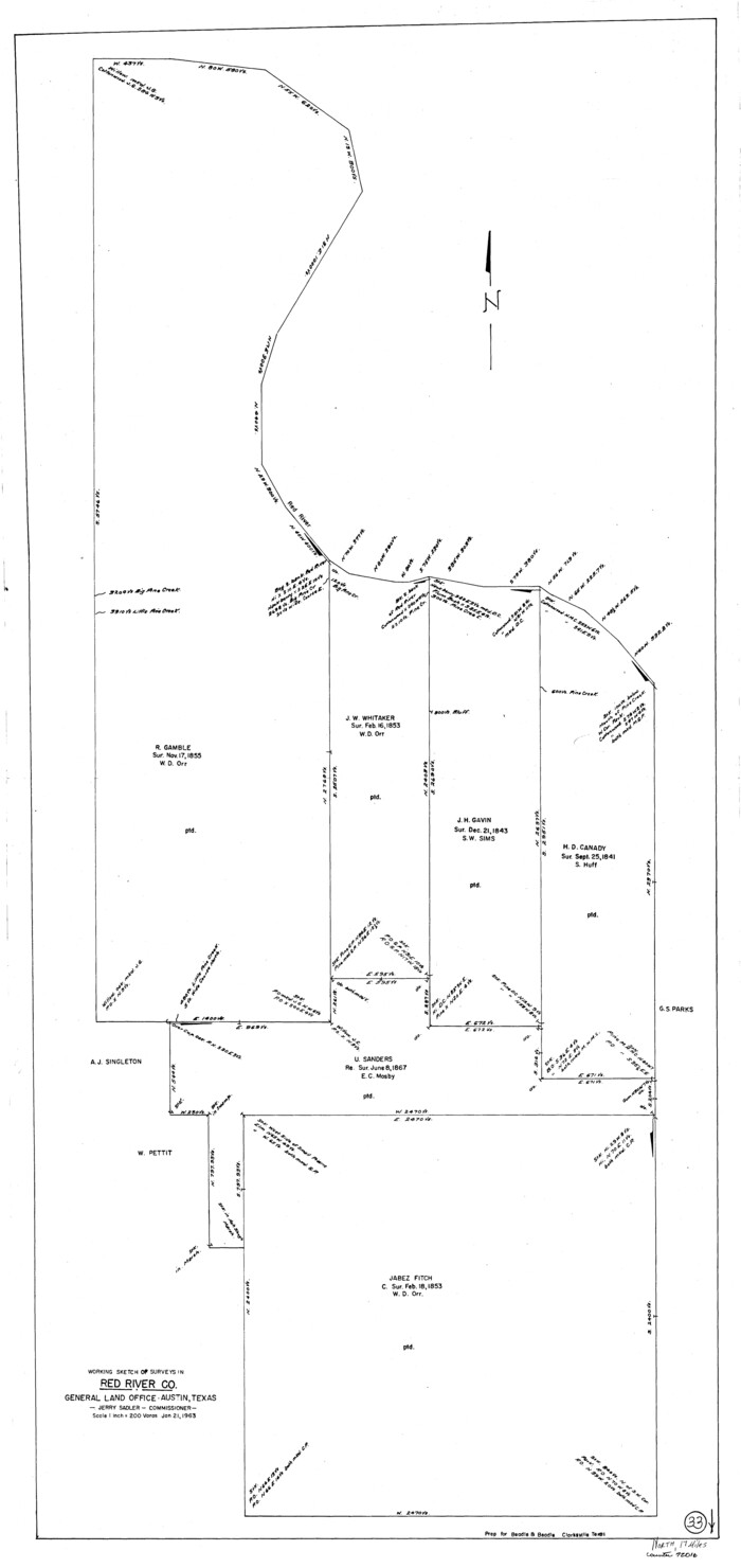

Print $20.00
- Digital $50.00
Red River County Working Sketch 33
1963
Size 47.0 x 22.2 inches
Map/Doc 72016
Hidalgo County


Print $20.00
- Digital $50.00
Hidalgo County
1911
Size 42.1 x 29.6 inches
Map/Doc 66863
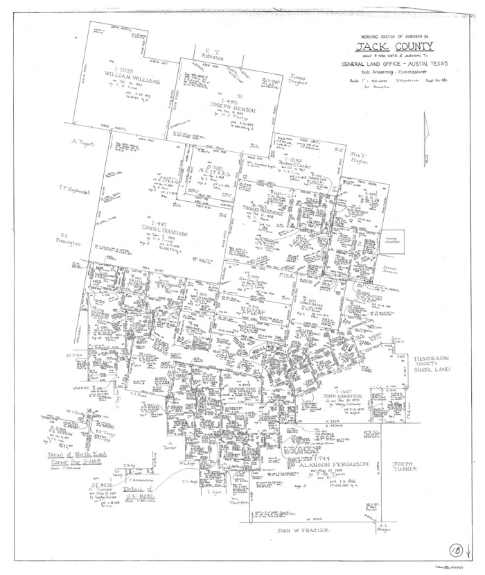
Jack County Working Sketch 15

Print $20.00
- Digital $50.00
Jack County Working Sketch 15
1982
Size 30.6 x 25.9 inches
Map/Doc 66441
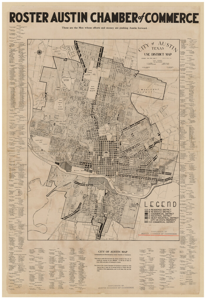
City of Austin, Texas Use District Map

Print $20.00
- Digital $50.00
City of Austin, Texas Use District Map
1939
Size 42.9 x 32.2 inches
Map/Doc 452
![62566, [Rosebud Station Map - Tracks and Structures - Lands, San Antonio and Aransas Pass Railway Co.], General Map Collection](https://historictexasmaps.com/wmedia_w1800h1800/maps/62566.tif.jpg)
