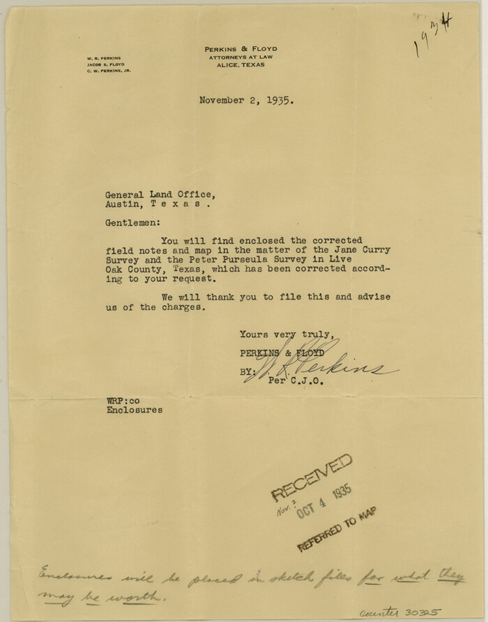
Live Oak County Sketch File 31
1935
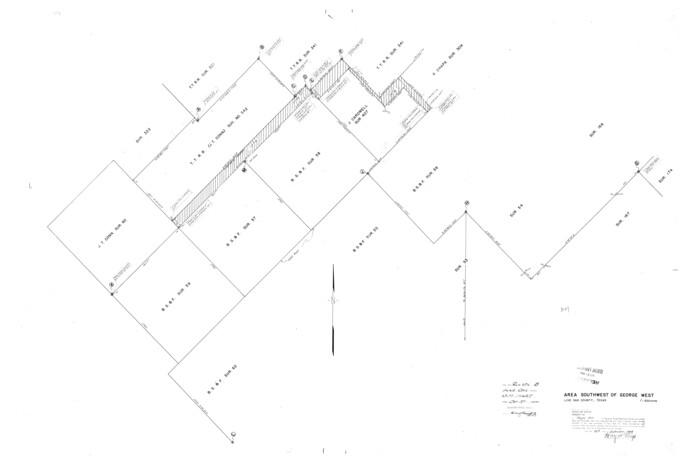
Live Oak County Rolled Sketch 3
1944
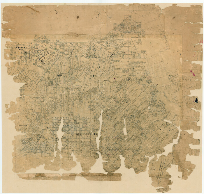
[McMullen and Live Oak County]
1870
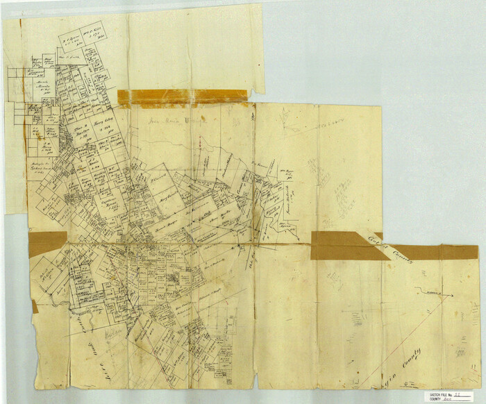
Bee County Sketch File 11
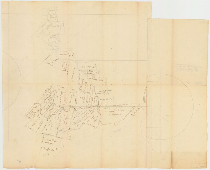
Live Oak County Sketch File 4
1858
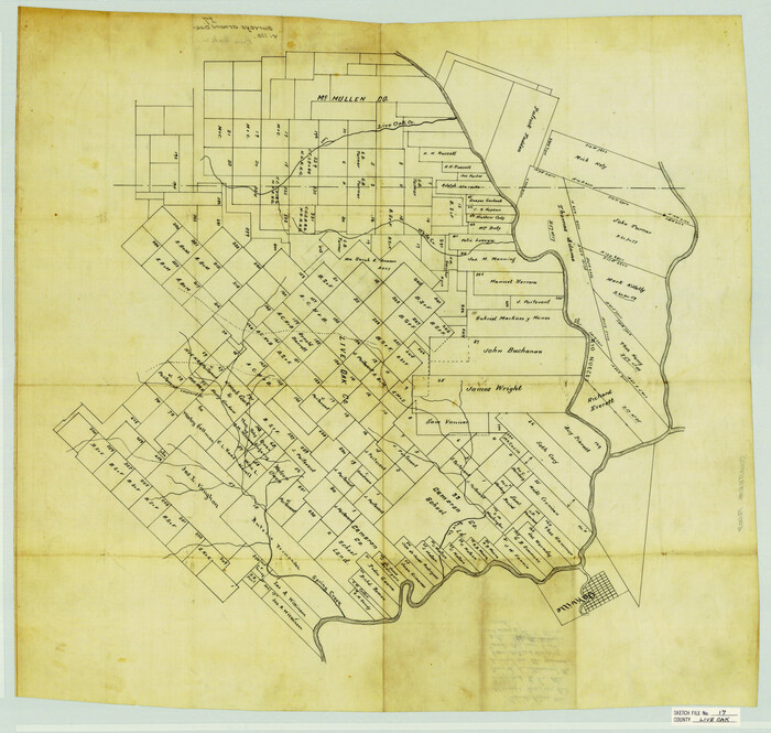
Live Oak County Sketch File 17
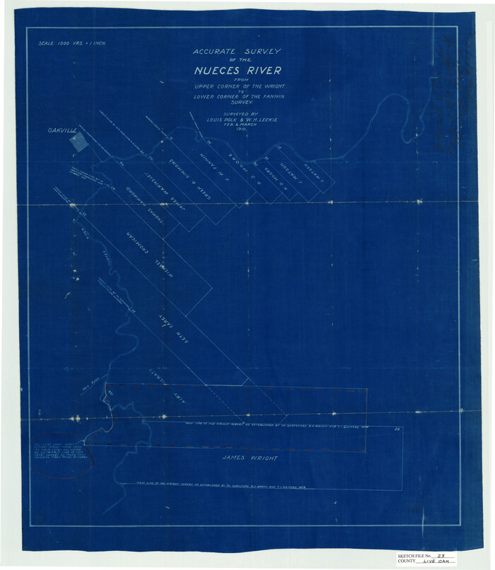
Live Oak County Sketch File 23
1910

Live Oak County Sketch File 24
1912
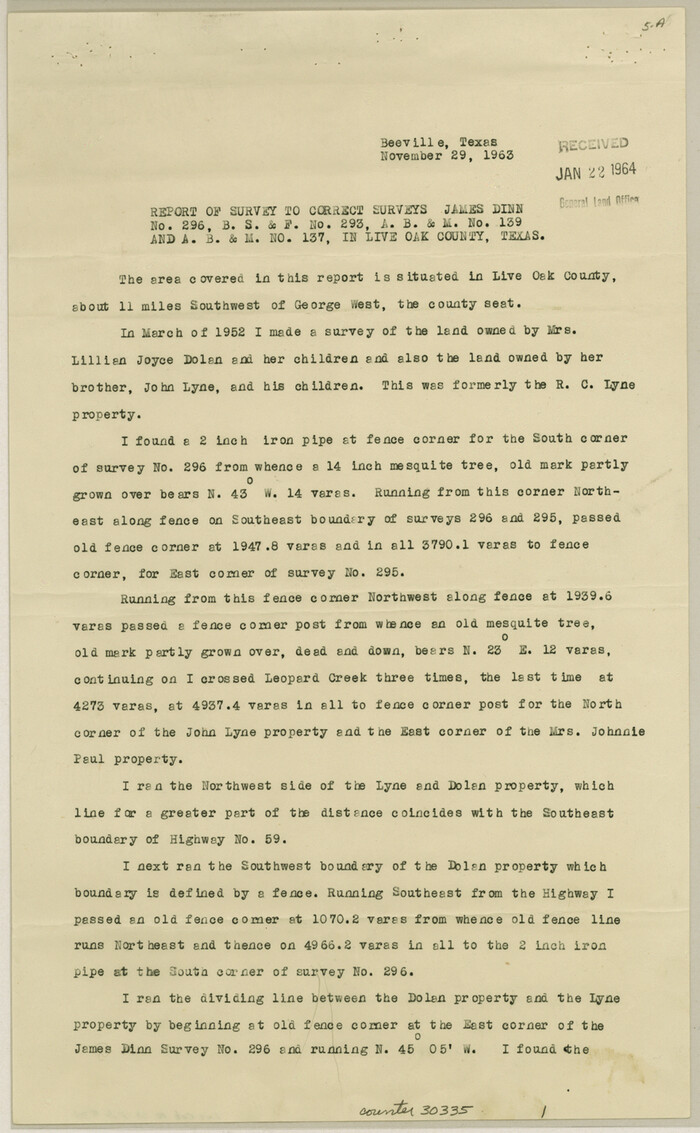
Live Oak County Sketch File 34
1963
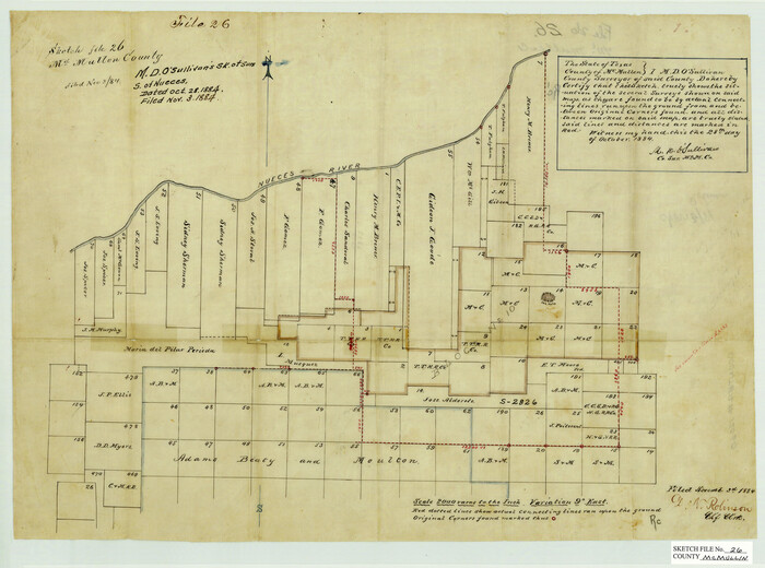
McMullen County Sketch File 26
1884
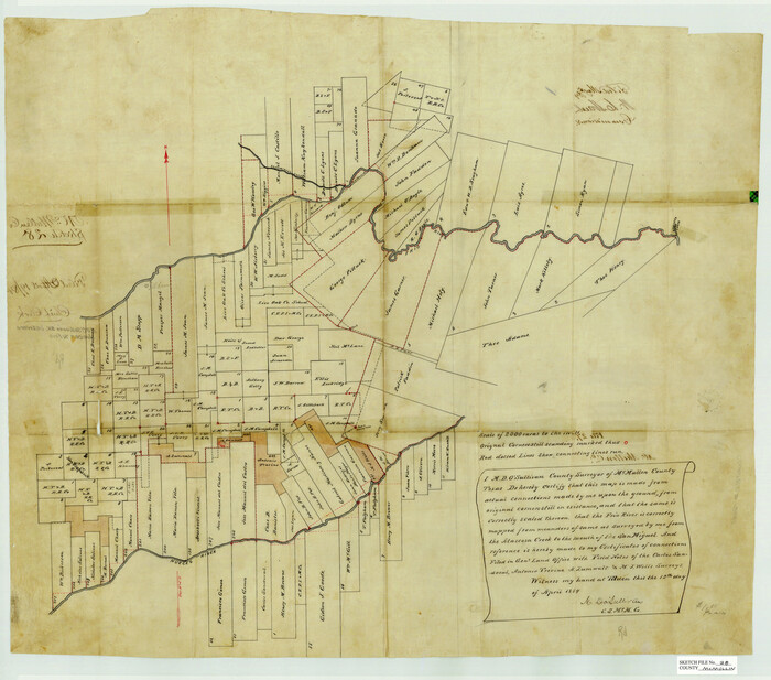
McMullen County Sketch File 28
1884

McMullen County Sketch File 47
1989
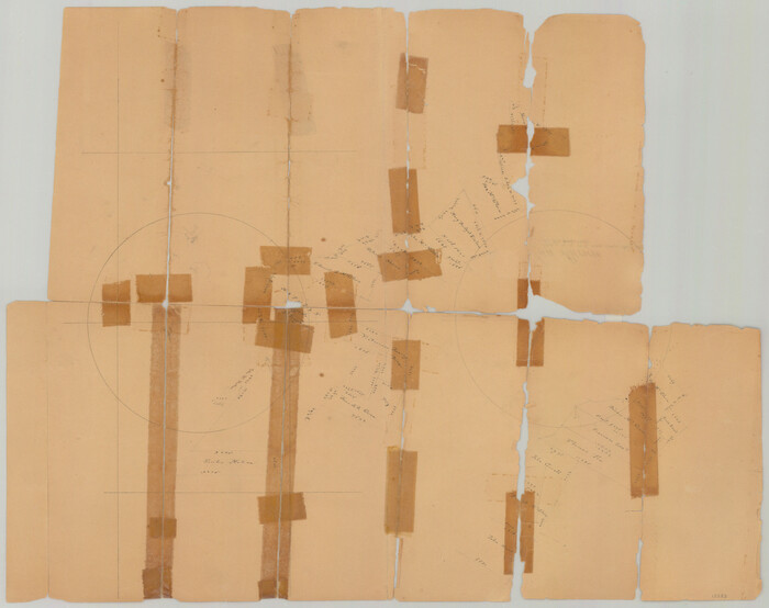
San Patricio County Sketch File 4

Atascosa County Sketch File 6

Atascosa County Sketch File 42
1916
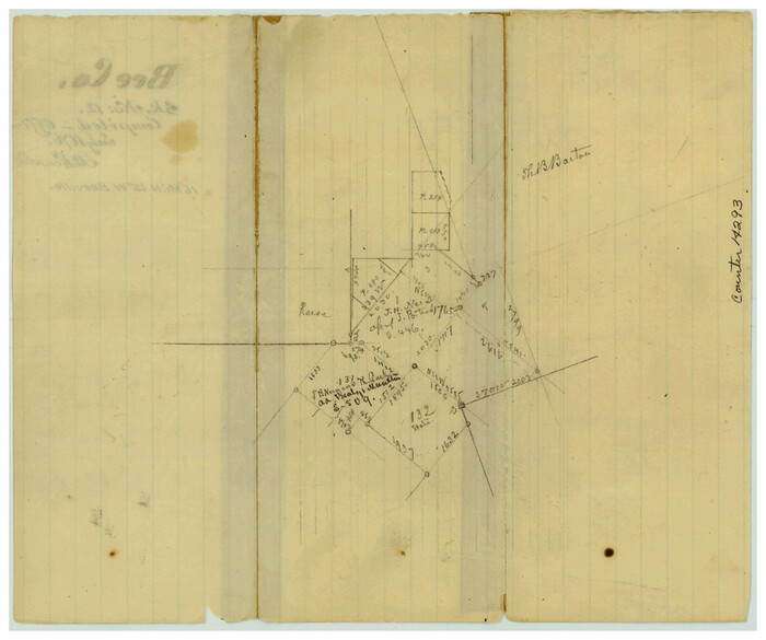
Bee County Sketch File 12
1876

Bee County Sketch File 13
1876

Bee County Sketch File 14
1878
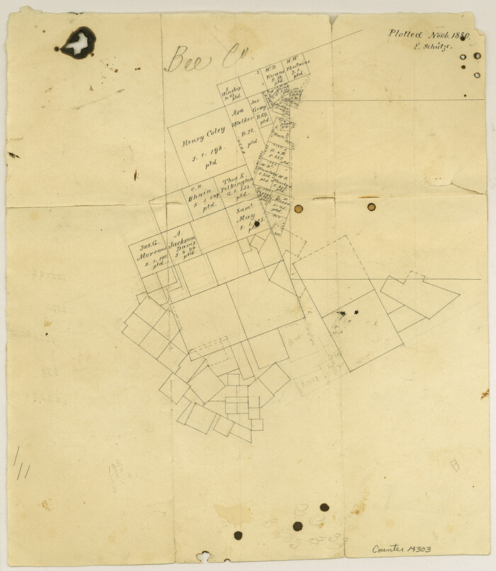
Bee County Sketch File 18
1880
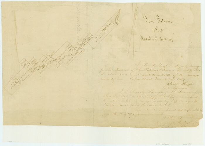
[Surveys along Lagarta Creek]
1847
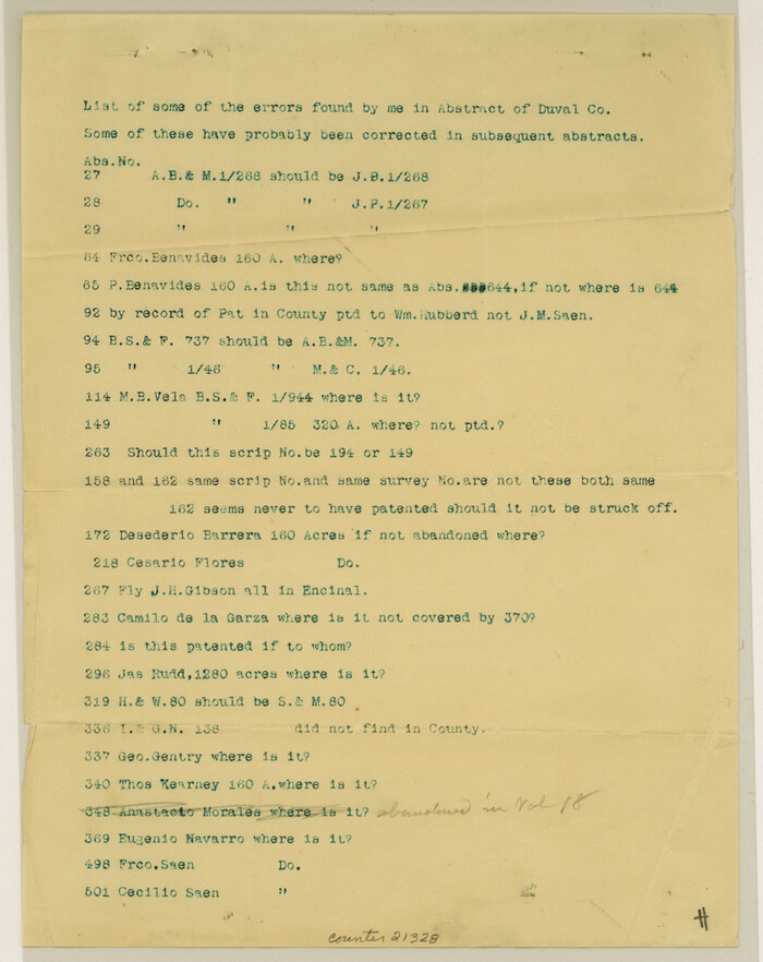
Duval County Sketch File 25
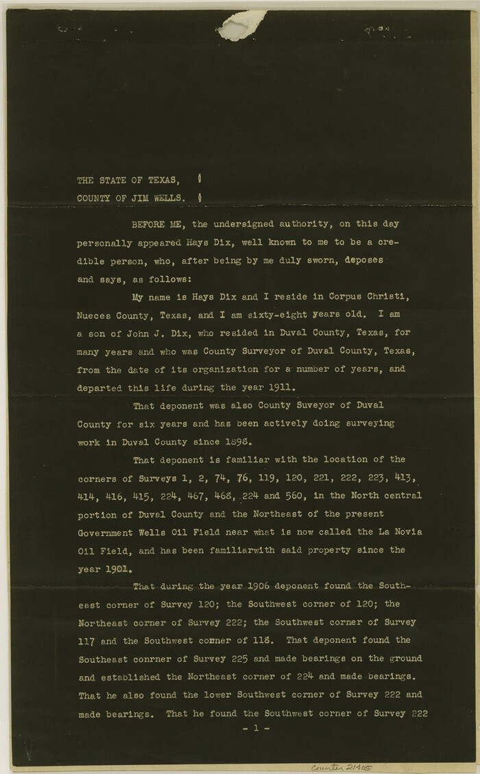
Duval County Sketch File 48
1935
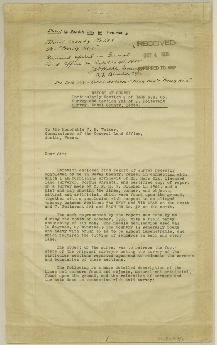
Duval County Sketch File 80
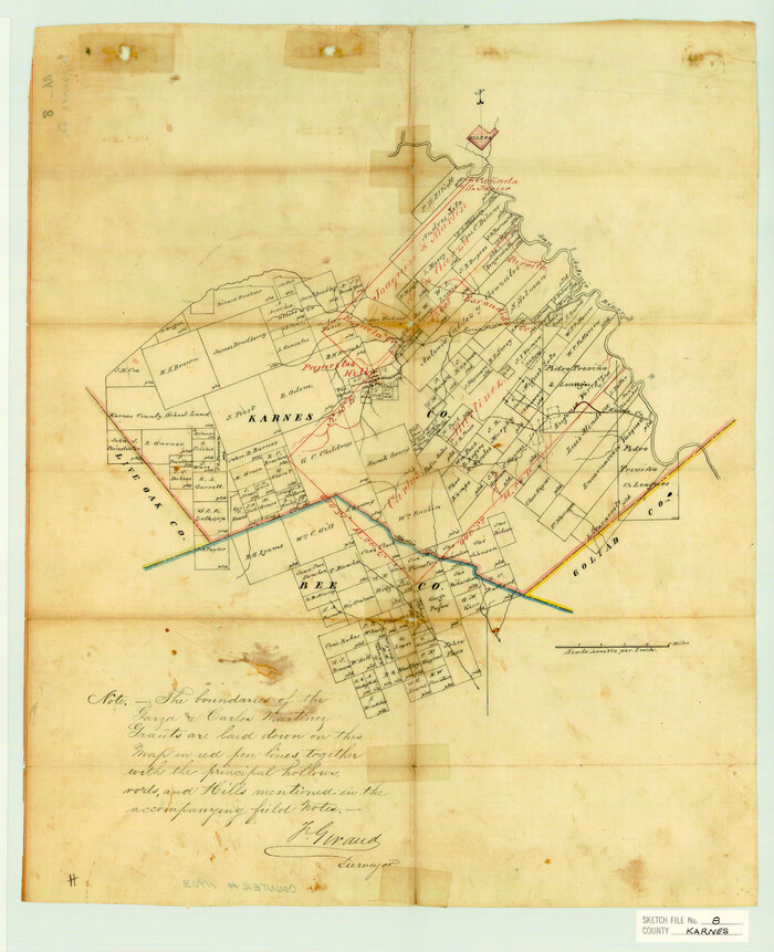
Karnes County Sketch File 8
1876

La Salle County Sketch File 12
1877
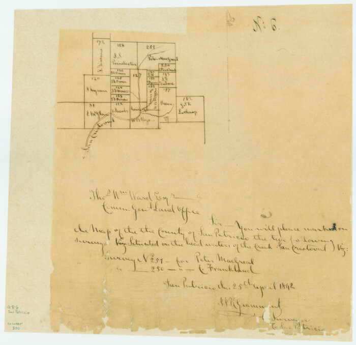
[Surveys along San Cristoval Creek]
1842
Live Oak County Sketch File A

Live Oak County Sketch File 1
1856

Live Oak County Sketch File 31
1935
-
Size
36.0 x 32.5 inches
-
Map/Doc
10528
-
Creation Date
1935

Live Oak County Rolled Sketch 3
1944
-
Size
31.2 x 47.2 inches
-
Map/Doc
10630
-
Creation Date
1944
![10789, [McMullen and Live Oak County], General Map Collection](https://historictexasmaps.com/wmedia_w700/maps/10789.tif.jpg)
[McMullen and Live Oak County]
1870
-
Size
34.3 x 36.0 inches
-
Map/Doc
10789
-
Creation Date
1870

Bee County Sketch File 11
-
Size
20.8 x 25.0 inches
-
Map/Doc
10915

Live Oak County Sketch File 4
1858
-
Size
16.3 x 19.2 inches
-
Map/Doc
12006
-
Creation Date
1858

Live Oak County Sketch File 17
-
Size
24.2 x 25.4 inches
-
Map/Doc
12007

Live Oak County Sketch File 23
1910
-
Size
22.6 x 19.6 inches
-
Map/Doc
12009
-
Creation Date
1910

Live Oak County Sketch File 24
1912
-
Size
20.0 x 19.6 inches
-
Map/Doc
12010
-
Creation Date
1912

Live Oak County Sketch File 34
1963
-
Size
31.0 x 23.9 inches
-
Map/Doc
12011
-
Creation Date
1963

McMullen County Sketch File 26
1884
-
Size
14.7 x 19.8 inches
-
Map/Doc
12060
-
Creation Date
1884

McMullen County Sketch File 28
1884
-
Size
24.8 x 28.1 inches
-
Map/Doc
12061
-
Creation Date
1884

McMullen County Sketch File 47
1989
-
Size
24.6 x 21.5 inches
-
Map/Doc
12066
-
Creation Date
1989

San Patricio County Sketch File 4
-
Size
16.9 x 30.5 inches
-
Map/Doc
12283

Atascosa County Sketch File 6
-
Size
12.2 x 7.8 inches
-
Map/Doc
13752

Atascosa County Sketch File 42
1916
-
Size
11.2 x 8.8 inches
-
Map/Doc
13847
-
Creation Date
1916

Bee County Sketch File 12
1876
-
Size
8.2 x 9.8 inches
-
Map/Doc
14293
-
Creation Date
1876

Bee County Sketch File 13
1876
-
Size
12.6 x 8.1 inches
-
Map/Doc
14295
-
Creation Date
1876

Bee County Sketch File 14
1878
-
Size
14.5 x 12.5 inches
-
Map/Doc
14297
-
Creation Date
1878

Bee County Sketch File 18
1880
-
Size
11.8 x 10.3 inches
-
Map/Doc
14303
-
Creation Date
1880
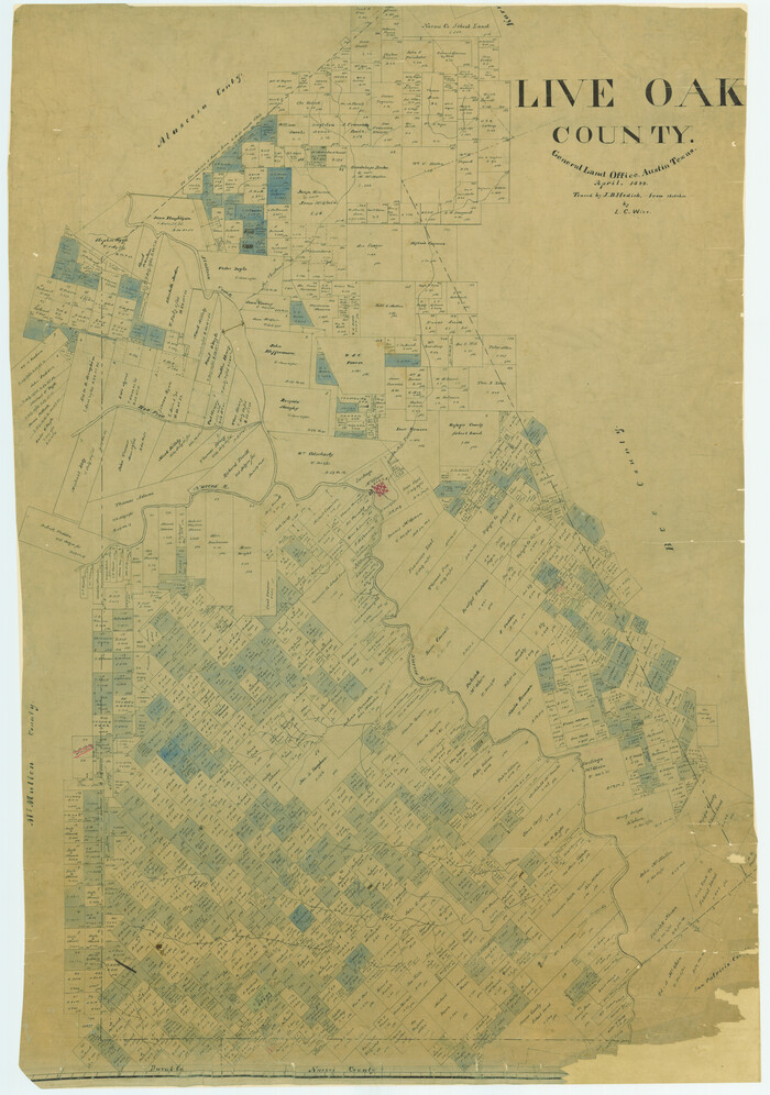
Live Oak County
1899
-
Size
50.3 x 35.3 inches
-
Map/Doc
16882
-
Creation Date
1899

Live Oak Co.
1947
-
Size
53.9 x 40.1 inches
-
Map/Doc
1884
-
Creation Date
1947
![190, [Surveys along Lagarta Creek], General Map Collection](https://historictexasmaps.com/wmedia_w700/maps/190.tif.jpg)
[Surveys along Lagarta Creek]
1847
-
Size
10.7 x 15.1 inches
-
Map/Doc
190
-
Creation Date
1847

Duval County Sketch File 25
-
Size
11.4 x 9.1 inches
-
Map/Doc
21328

Duval County Sketch File 48
1935
-
Size
14.2 x 8.8 inches
-
Map/Doc
21405
-
Creation Date
1935

Duval County Sketch File 80
-
Size
14.1 x 8.9 inches
-
Map/Doc
21492

Karnes County Sketch File 8
1876
-
Size
12.7 x 8.2 inches
-
Map/Doc
28565
-
Creation Date
1876

La Salle County Sketch File 12
1877
-
Size
10.0 x 8.1 inches
-
Map/Doc
29470
-
Creation Date
1877
![300, [Surveys along San Cristoval Creek], General Map Collection](https://historictexasmaps.com/wmedia_w700/maps/300.tif.jpg)
[Surveys along San Cristoval Creek]
1842
-
Size
9.0 x 9.3 inches
-
Map/Doc
300
-
Creation Date
1842

Live Oak County Sketch File A
-
Size
7.9 x 4.7 inches
-
Map/Doc
30250

Live Oak County Sketch File 1
1856
-
Size
11.5 x 7.8 inches
-
Map/Doc
30251
-
Creation Date
1856