[McMullen and Live Oak County]
-
Map/Doc
10789
-
Collection
General Map Collection
-
Object Dates
1870 (Creation Date)
-
People and Organizations
Texas General Land Office (Publisher)
-
Counties
McMullen Live Oak
-
Subjects
County
-
Height x Width
34.3 x 36.0 inches
87.1 x 91.4 cm
-
Comments
Conservation funded in 2004 with donation from Karl and Marti Gebert.
-
Features
S[ ]lerito Creek
Mira Sol Creek
Ygnacia Creek
Potrillo San Diego and Palo Alto Road via Gray's Ranch
Road via Gray's Ranch
Potrillo San Diego Road
Palo Alto Road
La Jarita Creek
Piscachas Creek
Campanas Creek
Lagarto Creek
Tipocate Creek
Almos Creek
Arroyo Lagarta
Carruse Creek
Casa Blanca
Barton's Fork [of Rio Nueces]
Corpus Ch[risti Road]
Salt Br[anch]
Concita Creek
Waller Creek
Brushy Hills
Terizo Creek
Frio River
Atascosa Creek
Oakville and San [ ] Road
Oakville Road
San Christoval Creek
San Patricio Road
Nobles Mountain
San Miguel Creek
Leoncita Creek
Laredo Road
Colfax
San Patricio Creek
Ponte de la Piedra
Ponte de la Piedra [Creek]
Oakville
Rio Nueces
Lomas Blancas
Beeville
Leopard Creek
San Fernando Creek
Spring Creek
Fort Merrill
Part of: General Map Collection
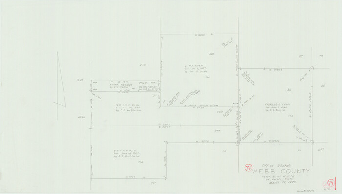
Webb County Working Sketch 74

Print $20.00
- Digital $50.00
Webb County Working Sketch 74
1975
Size 17.0 x 30.0 inches
Map/Doc 72441
Parker County Sketch File 47


Print $20.00
- Digital $50.00
Parker County Sketch File 47
1857
Size 16.4 x 34.7 inches
Map/Doc 12151
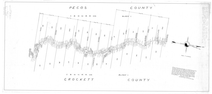
Crockett County Rolled Sketch 6

Print $40.00
- Digital $50.00
Crockett County Rolled Sketch 6
Size 54.7 x 24.3 inches
Map/Doc 8690
Webb County Sketch File 19


Print $15.00
- Digital $50.00
Webb County Sketch File 19
1902
Size 9.2 x 17.0 inches
Map/Doc 39822
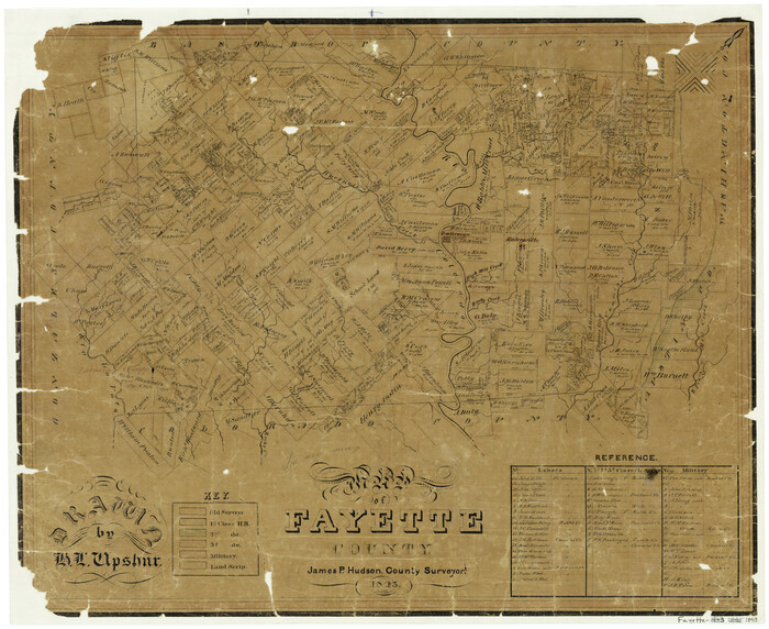
Map of Fayette County

Print $20.00
- Digital $50.00
Map of Fayette County
1843
Size 21.9 x 26.7 inches
Map/Doc 3537
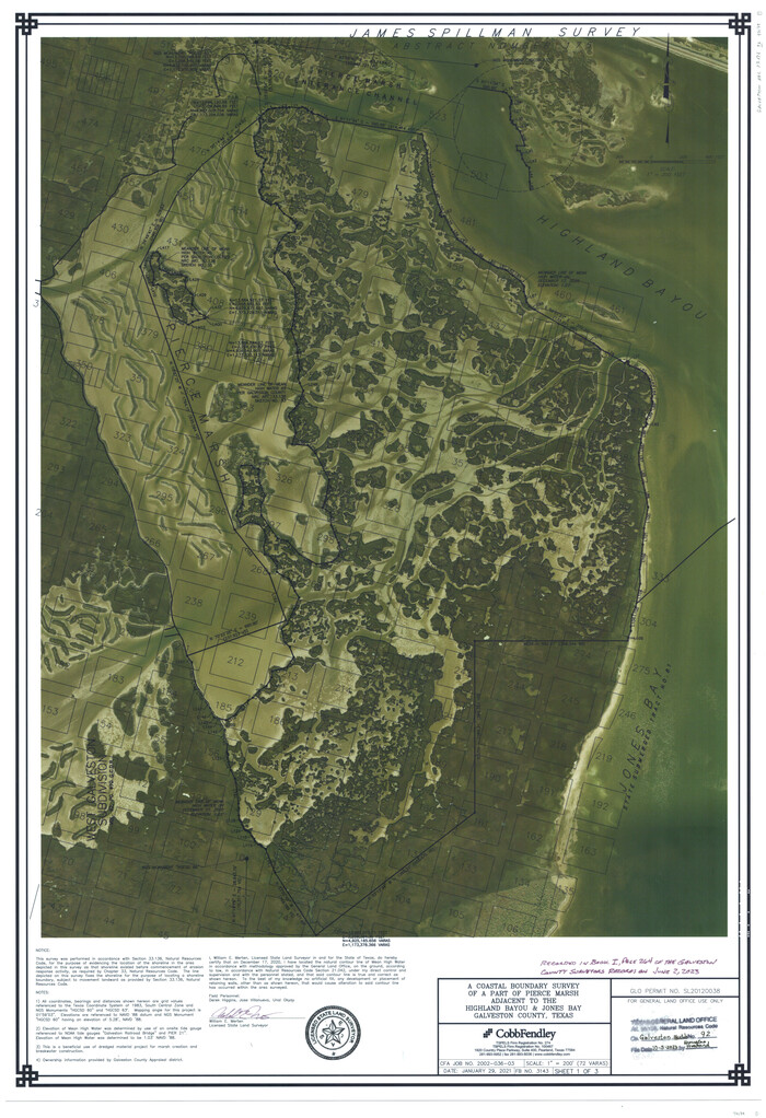
Galveston County NRC Article 33.136 Sketch 92

Print $62.00
Galveston County NRC Article 33.136 Sketch 92
2021
Map/Doc 97179
Scurry County Rolled Sketch 8
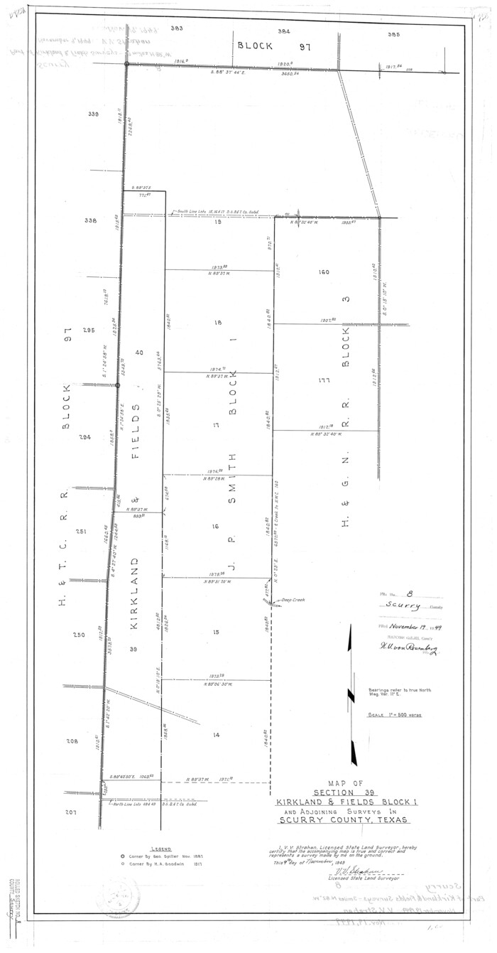

Print $20.00
- Digital $50.00
Scurry County Rolled Sketch 8
1949
Size 35.1 x 19.1 inches
Map/Doc 7768
Cooke County Working Sketch 20


Print $20.00
- Digital $50.00
Cooke County Working Sketch 20
1956
Size 21.1 x 10.4 inches
Map/Doc 68257
Sketch showing progress of topographical work Laguna Madre and vicinity from Rainey Is. to Baffins Bay, Coast of Texas Sect. IX [and accompanying letter]
![72958, Sketch showing progress of topographical work Laguna Madre and vicinity from Rainey Is. to Baffins Bay, Coast of Texas Sect. IX [and accompanying letter], General Map Collection](https://historictexasmaps.com/wmedia_w700/maps/72958.tif.jpg)
![72958, Sketch showing progress of topographical work Laguna Madre and vicinity from Rainey Is. to Baffins Bay, Coast of Texas Sect. IX [and accompanying letter], General Map Collection](https://historictexasmaps.com/wmedia_w700/maps/72958.tif.jpg)
Print $2.00
- Digital $50.00
Sketch showing progress of topographical work Laguna Madre and vicinity from Rainey Is. to Baffins Bay, Coast of Texas Sect. IX [and accompanying letter]
1881
Size 11.2 x 8.8 inches
Map/Doc 72958
Morris County Rolled Sketch 2A
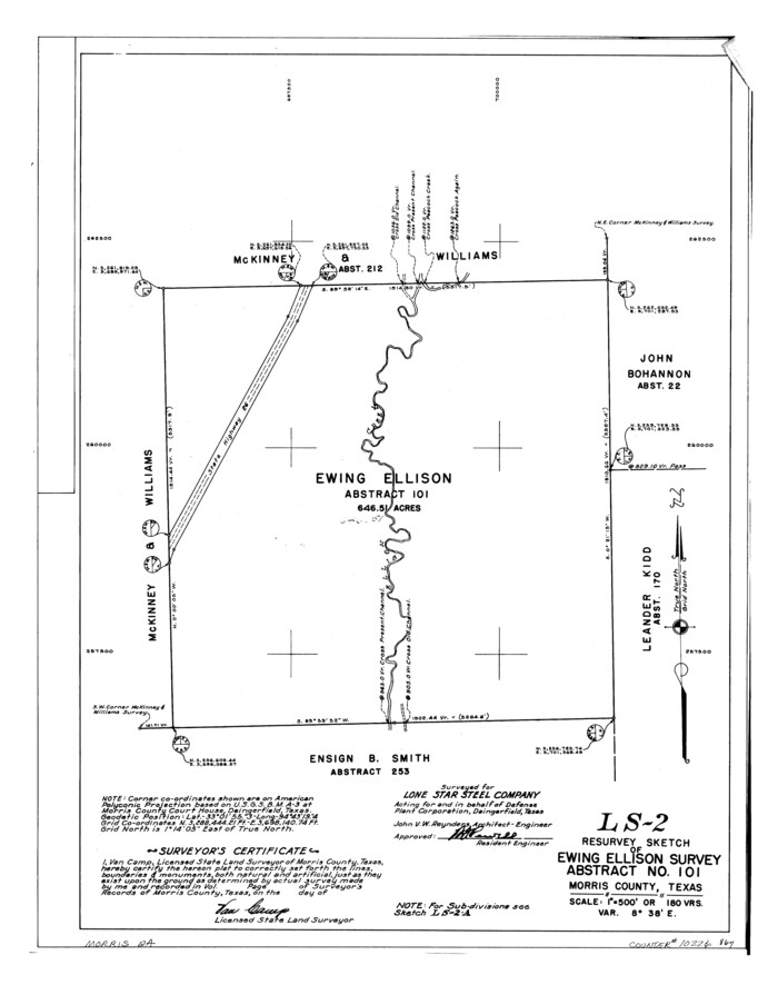

Print $20.00
- Digital $50.00
Morris County Rolled Sketch 2A
Size 24.0 x 18.8 inches
Map/Doc 10226
Gaines County Sketch File 21
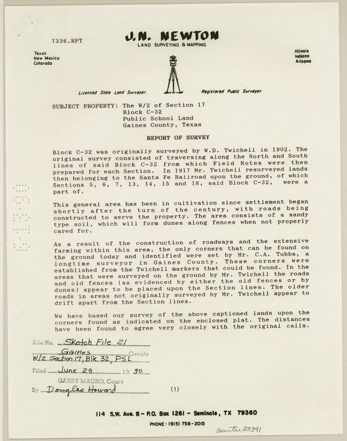

Print $6.00
- Digital $50.00
Gaines County Sketch File 21
1990
Size 11.2 x 8.8 inches
Map/Doc 23341
You may also like
Val Verde County Boundary File 2
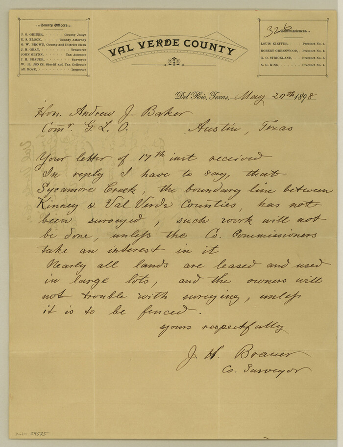

Print $4.00
- Digital $50.00
Val Verde County Boundary File 2
Size 11.4 x 8.8 inches
Map/Doc 59575
Cherokee County Sketch File 16


Print $44.00
- Digital $50.00
Cherokee County Sketch File 16
1862
Size 10.0 x 8.0 inches
Map/Doc 18152
El Paso County Rolled Sketch EC
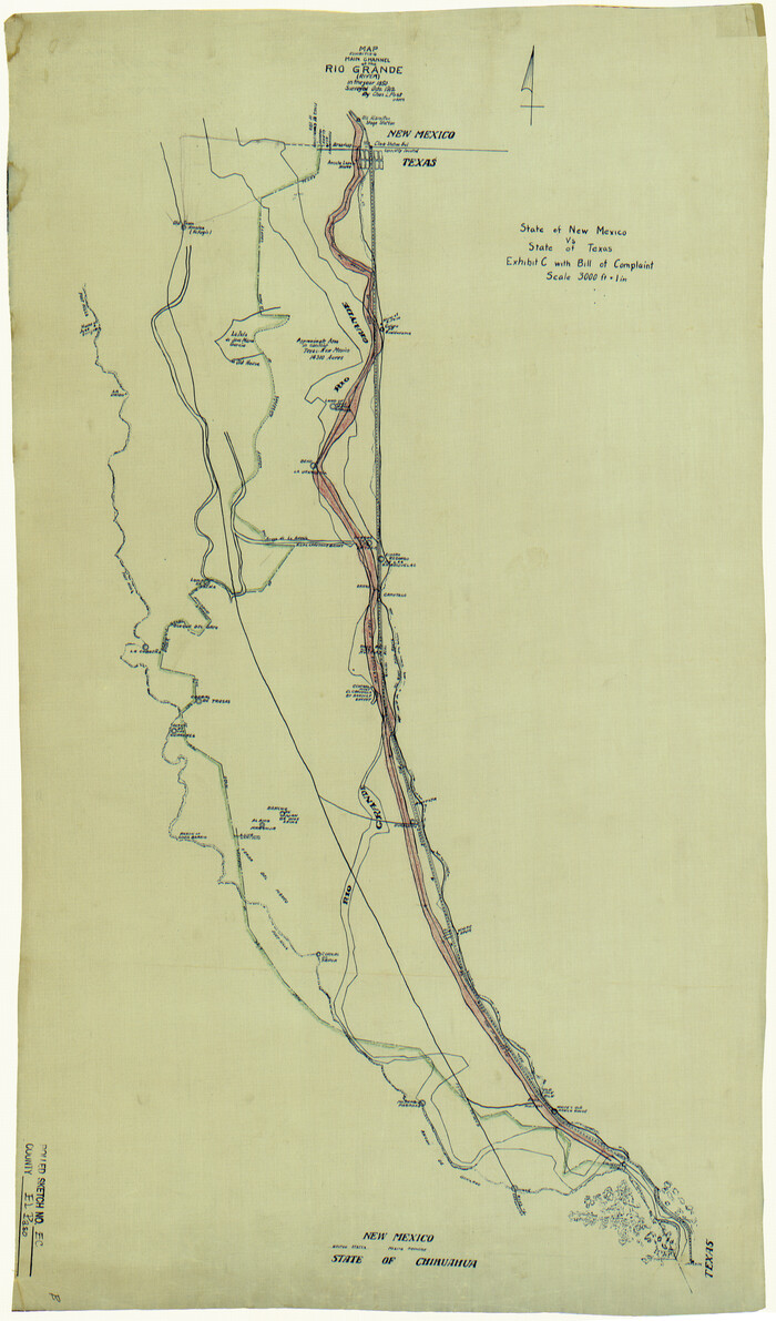

Print $20.00
- Digital $50.00
El Paso County Rolled Sketch EC
1912
Size 30.1 x 18.2 inches
Map/Doc 5857
Oldham County Sketch File 20
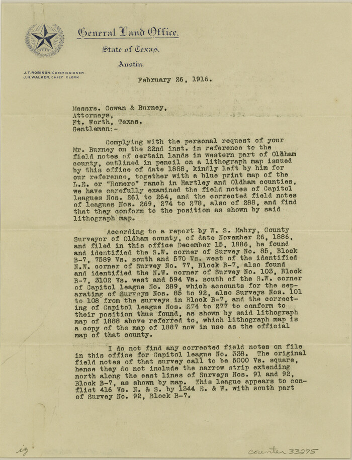

Print $6.00
- Digital $50.00
Oldham County Sketch File 20
1916
Size 11.1 x 8.5 inches
Map/Doc 33275
Flight Mission No. BRA-7M, Frame 178, Jefferson County


Print $20.00
- Digital $50.00
Flight Mission No. BRA-7M, Frame 178, Jefferson County
1953
Size 18.6 x 22.4 inches
Map/Doc 85546
Dickens County Working Sketch 10


Print $40.00
- Digital $50.00
Dickens County Working Sketch 10
1965
Size 62.2 x 39.5 inches
Map/Doc 68658
Eastland County Sketch File 7


Print $4.00
- Digital $50.00
Eastland County Sketch File 7
1872
Size 12.6 x 8.5 inches
Map/Doc 21574
Jeff Davis County Working Sketch Graphic Index - west part
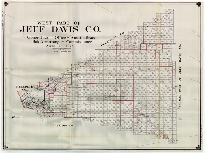

Print $20.00
- Digital $50.00
Jeff Davis County Working Sketch Graphic Index - west part
1977
Size 34.0 x 45.3 inches
Map/Doc 76594
The Republic County of Washington. January 29, 1842
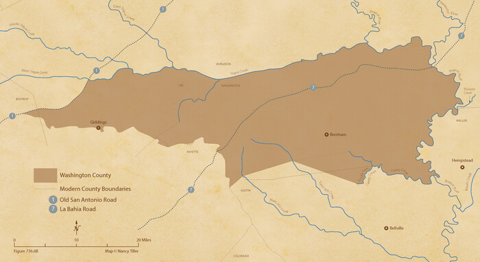

Print $20.00
The Republic County of Washington. January 29, 1842
2020
Size 11.8 x 21.7 inches
Map/Doc 96307
Survey and Location of the Corpus Christi & Rio Grande Railway Under Charter of May 24th 1873


Print $40.00
- Digital $50.00
Survey and Location of the Corpus Christi & Rio Grande Railway Under Charter of May 24th 1873
1874
Size 12.5 x 58.7 inches
Map/Doc 64092
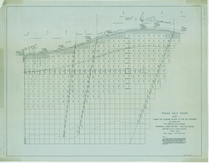
Texas Gulf Coast Map from the Sabine River to the Rio Grande as subdivided for mineral development

Print $20.00
- Digital $50.00
Texas Gulf Coast Map from the Sabine River to the Rio Grande as subdivided for mineral development
1948
Size 31.0 x 39.7 inches
Map/Doc 2912
![10789, [McMullen and Live Oak County], General Map Collection](https://historictexasmaps.com/wmedia_w1800h1800/maps/10789.tif.jpg)

