
Atascosa County Rolled Sketch 7
1913

Atascosa County Sketch File 42
1916

Atascosa County Sketch File 6

Atascosa County Working Sketch 14
1932

Atascosa County Working Sketch 15
1935
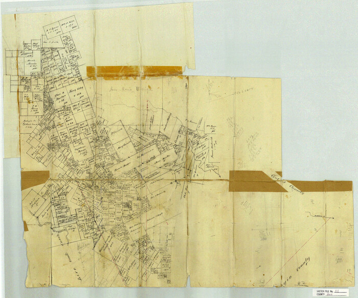
Bee County Sketch File 11
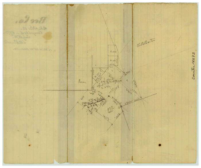
Bee County Sketch File 12
1876

Bee County Sketch File 13
1876

Bee County Sketch File 14
1878
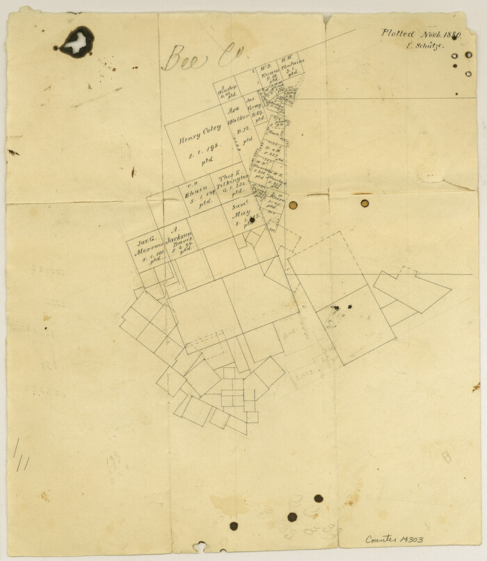
Bee County Sketch File 18
1880
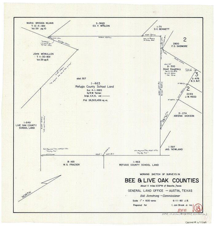
Bee County Working Sketch 18
1980
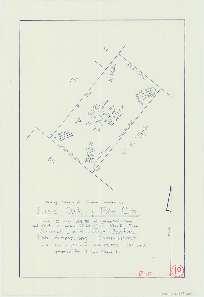
Bee County Working Sketch 19
1980
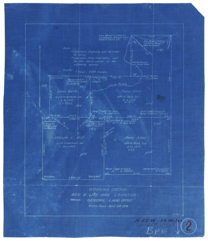
Bee County Working Sketch 2
1914
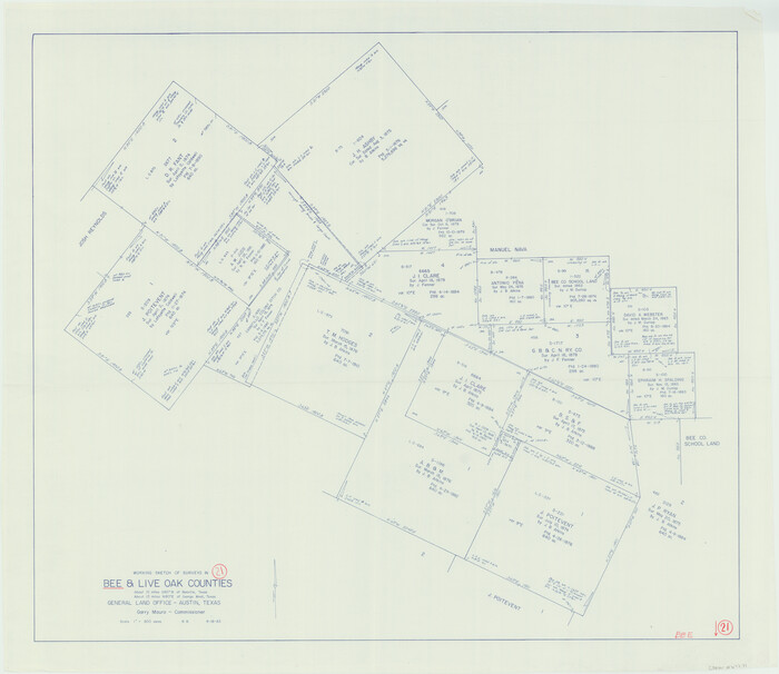
Bee County Working Sketch 21
1983
Duval County Sketch File 25
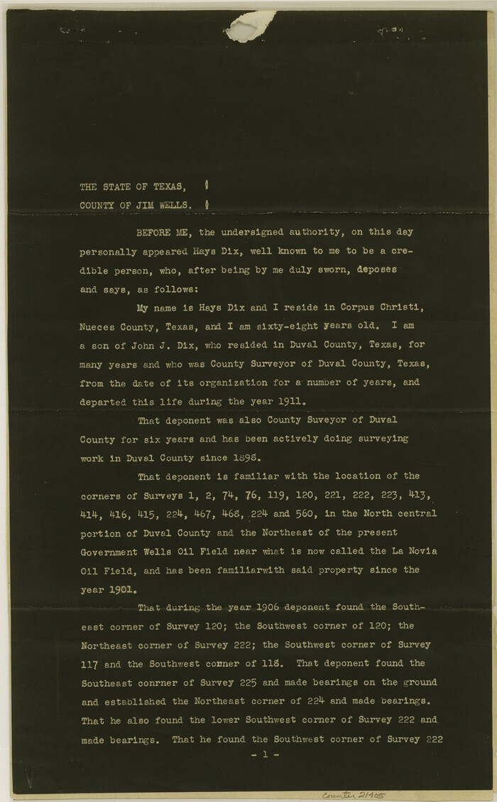
Duval County Sketch File 48
1935
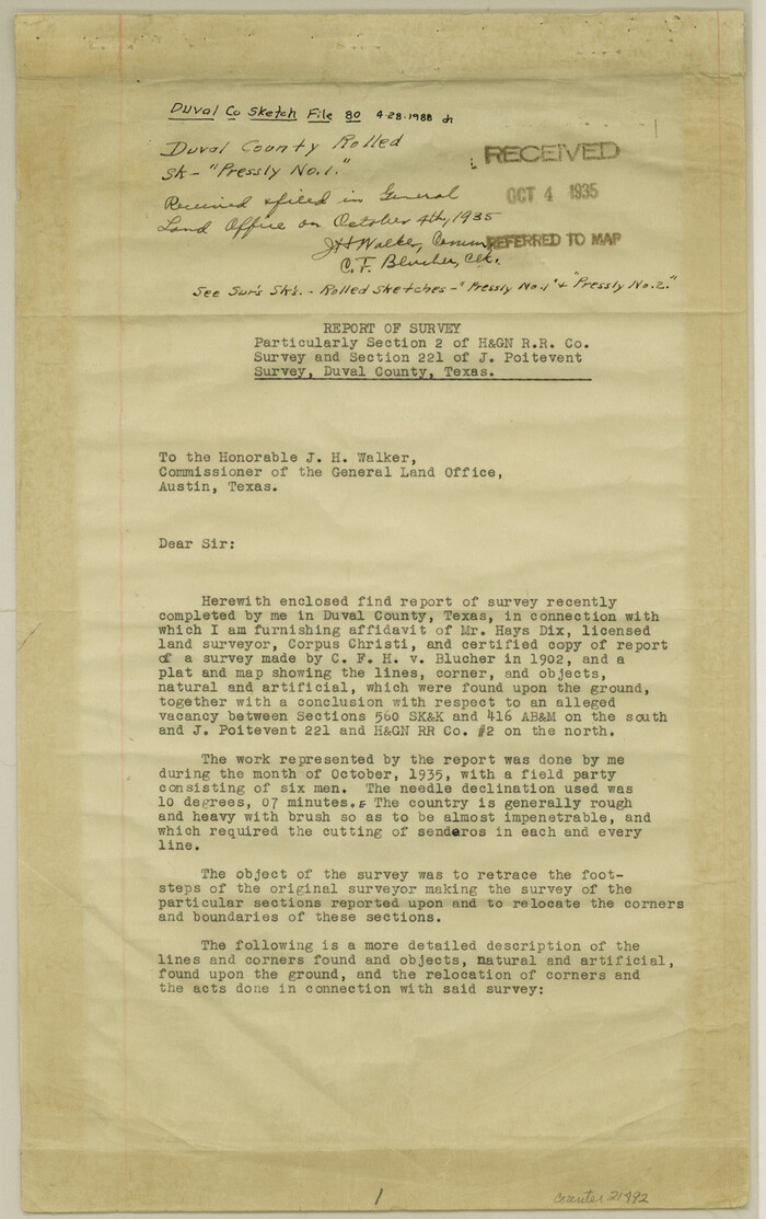
Duval County Sketch File 80
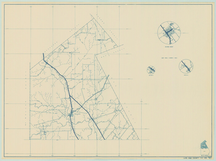
General Highway Map, Live Oak County, Texas
1940

General Highway Map, Live Oak County, Texas
1940
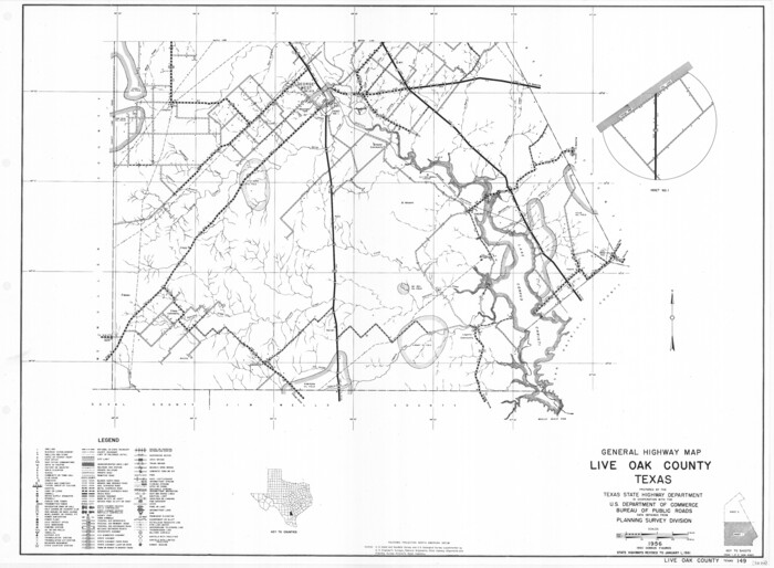
General Highway Map, Live Oak County, Texas
1961

General Highway Map, Live Oak County, Texas
1961
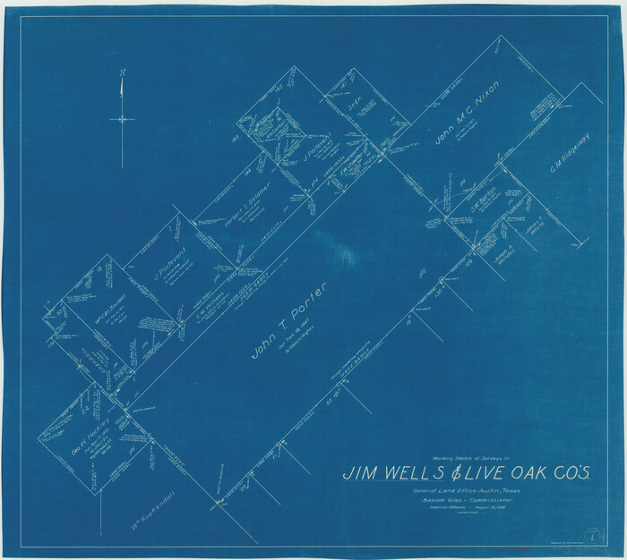
Jim Wells County Working Sketch 7
1944
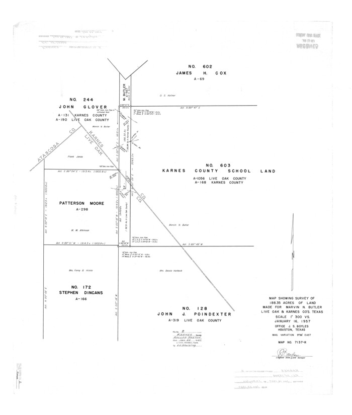
Karnes County Rolled Sketch 2
1957
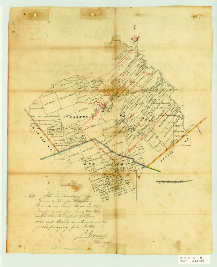
Karnes County Sketch File 8
1876

La Salle County Sketch File 12
1877

Land grants from the state of Tamaulipas in the trans-Nueces
2009

Atascosa County Rolled Sketch 7
1913
-
Size
26.1 x 26.7 inches
-
Map/Doc
5092
-
Creation Date
1913

Atascosa County Sketch File 42
1916
-
Size
11.2 x 8.8 inches
-
Map/Doc
13847
-
Creation Date
1916

Atascosa County Sketch File 6
-
Size
12.2 x 7.8 inches
-
Map/Doc
13752

Atascosa County Working Sketch 14
1932
-
Size
18.4 x 17.4 inches
-
Map/Doc
67210
-
Creation Date
1932

Atascosa County Working Sketch 15
1935
-
Size
43.8 x 53.6 inches
-
Map/Doc
67211
-
Creation Date
1935

Bee County Sketch File 11
-
Size
20.8 x 25.0 inches
-
Map/Doc
10915

Bee County Sketch File 12
1876
-
Size
8.2 x 9.8 inches
-
Map/Doc
14293
-
Creation Date
1876

Bee County Sketch File 13
1876
-
Size
12.6 x 8.1 inches
-
Map/Doc
14295
-
Creation Date
1876

Bee County Sketch File 14
1878
-
Size
14.5 x 12.5 inches
-
Map/Doc
14297
-
Creation Date
1878

Bee County Sketch File 18
1880
-
Size
11.8 x 10.3 inches
-
Map/Doc
14303
-
Creation Date
1880

Bee County Working Sketch 18
1980
-
Size
19.5 x 18.5 inches
-
Map/Doc
67268
-
Creation Date
1980

Bee County Working Sketch 19
1980
-
Size
17.3 x 11.9 inches
-
Map/Doc
67269
-
Creation Date
1980

Bee County Working Sketch 2
1914
-
Size
11.0 x 9.6 inches
-
Map/Doc
67252
-
Creation Date
1914

Bee County Working Sketch 21
1983
-
Size
32.5 x 37.5 inches
-
Map/Doc
67271
-
Creation Date
1983

Duval County Sketch File 25
-
Size
11.4 x 9.1 inches
-
Map/Doc
21328

Duval County Sketch File 48
1935
-
Size
14.2 x 8.8 inches
-
Map/Doc
21405
-
Creation Date
1935

Duval County Sketch File 80
-
Size
14.1 x 8.9 inches
-
Map/Doc
21492

General Highway Map, Live Oak County, Texas
1940
-
Size
18.5 x 24.8 inches
-
Map/Doc
79176
-
Creation Date
1940

General Highway Map, Live Oak County, Texas
1940
-
Size
18.4 x 24.8 inches
-
Map/Doc
79177
-
Creation Date
1940

General Highway Map, Live Oak County, Texas
1961
-
Size
18.2 x 24.8 inches
-
Map/Doc
79574
-
Creation Date
1961

General Highway Map, Live Oak County, Texas
1961
-
Size
18.3 x 24.8 inches
-
Map/Doc
79575
-
Creation Date
1961

Jim Wells County Working Sketch 7
1944
-
Size
26.2 x 29.3 inches
-
Map/Doc
66605
-
Creation Date
1944

Karnes County Rolled Sketch 2
1957
-
Size
35.3 x 30.0 inches
-
Map/Doc
6453
-
Creation Date
1957

Karnes County Sketch File 8
1876
-
Size
12.7 x 8.2 inches
-
Map/Doc
28565
-
Creation Date
1876

La Salle County Sketch File 12
1877
-
Size
10.0 x 8.1 inches
-
Map/Doc
29470
-
Creation Date
1877

Land grants from the state of Tamaulipas in the trans-Nueces
2009
-
Size
11.0 x 8.5 inches
-
Map/Doc
94040
-
Creation Date
2009

Live Oak Co.
1947
-
Size
53.9 x 40.1 inches
-
Map/Doc
1884
-
Creation Date
1947

Live Oak Co.
1947
-
Size
53.5 x 42.9 inches
-
Map/Doc
66906
-
Creation Date
1947

Live Oak Co.
1947
-
Size
54.3 x 42.8 inches
-
Map/Doc
66907
-
Creation Date
1947

Live Oak Co.
1947
-
Size
53.0 x 39.4 inches
-
Map/Doc
73223
-
Creation Date
1947