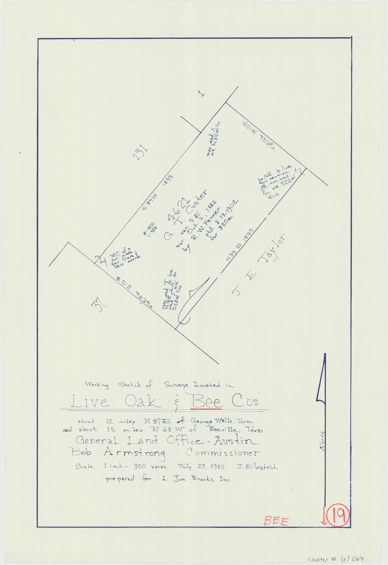
Bee County Working Sketch 19
-
Map/Doc
67269
-
Collection
General Map Collection
-
Object Dates
7/29/1980 (Creation Date)
-
People and Organizations
Joan Kilpatrick (Draftsman)
Bob Armstrong (GLO Commissioner)
-
Counties
Bee Live Oak
-
Subjects
Surveying Working Sketch
-
Height x Width
17.3 x 11.9 inches
43.9 x 30.2 cm
-
Scale
1" = 300 varas
-
Comments
Surveys located about 15 miles North 68 degrees West of Beeville, Texas.
Part of: General Map Collection
Dickens County Sketch File 18

Print $6.00
- Digital $50.00
Dickens County Sketch File 18
1959
Size 11.3 x 8.8 inches
Map/Doc 20979
Floyd County Sketch File 10

Print $12.00
- Digital $50.00
Floyd County Sketch File 10
1912
Size 11.6 x 8.9 inches
Map/Doc 22701
Eastland County Working Sketch 52

Print $20.00
- Digital $50.00
Eastland County Working Sketch 52
1982
Size 25.7 x 30.0 inches
Map/Doc 68833
Glasscock County Working Sketch 8

Print $40.00
- Digital $50.00
Glasscock County Working Sketch 8
1955
Size 43.5 x 120.3 inches
Map/Doc 63181
Fannin County Sketch File 25

Print $4.00
- Digital $50.00
Fannin County Sketch File 25
1847
Size 8.5 x 10.9 inches
Map/Doc 22493
Sterling County Sketch File 13

Print $20.00
- Digital $50.00
Sterling County Sketch File 13
Size 26.1 x 19.4 inches
Map/Doc 12359
El Nuevo Mexico y Tierras Adyacentes Mapa Levantado para la demarcacion de los Limites de los Dominios Españoles y de los Estados Unidos

El Nuevo Mexico y Tierras Adyacentes Mapa Levantado para la demarcacion de los Limites de los Dominios Españoles y de los Estados Unidos
1811
Size 27.9 x 36.6 inches
Map/Doc 97483
No. 3 Chart of Channel connecting Corpus Christi Bay with Aransas Bay, Texas

Print $20.00
- Digital $50.00
No. 3 Chart of Channel connecting Corpus Christi Bay with Aransas Bay, Texas
1848
Size 18.3 x 27.9 inches
Map/Doc 72777
Freestone County Boundary File 1

Print $6.00
- Digital $50.00
Freestone County Boundary File 1
Size 14.2 x 8.8 inches
Map/Doc 53585
Brewster County Working Sketch 5

Print $20.00
- Digital $50.00
Brewster County Working Sketch 5
1908
Size 28.0 x 22.0 inches
Map/Doc 67538
Borden County Sketch File 10b

Print $40.00
- Digital $50.00
Borden County Sketch File 10b
Size 23.0 x 17.0 inches
Map/Doc 10936
Floyd County Boundary File 2a

Print $40.00
- Digital $50.00
Floyd County Boundary File 2a
Size 19.8 x 39.2 inches
Map/Doc 53488
You may also like
Walker County Boundary File 1

Print $54.00
- Digital $50.00
Walker County Boundary File 1
Size 14.4 x 8.9 inches
Map/Doc 59655
Brazoria County NRC Article 33.136 Sketch 10

Print $23.00
- Digital $50.00
Brazoria County NRC Article 33.136 Sketch 10
2007
Size 25.7 x 35.7 inches
Map/Doc 87933
Winkler County, Texas

Print $20.00
- Digital $50.00
Winkler County, Texas
1889
Size 24.6 x 19.0 inches
Map/Doc 658
General Highway Map, Limestone County, Texas

Print $20.00
General Highway Map, Limestone County, Texas
1961
Size 18.1 x 24.8 inches
Map/Doc 79572
Edwards County Sketch File 34

Print $20.00
- Digital $50.00
Edwards County Sketch File 34
Size 16.8 x 19.0 inches
Map/Doc 11434
Leon County Sketch File 31

Print $20.00
- Digital $50.00
Leon County Sketch File 31
Size 19.1 x 20.5 inches
Map/Doc 11993
Hardeman County

Print $20.00
- Digital $50.00
Hardeman County
1935
Size 42.8 x 40.0 inches
Map/Doc 77302
Schleicher County Working Sketch 6

Print $20.00
- Digital $50.00
Schleicher County Working Sketch 6
1917
Size 24.6 x 19.3 inches
Map/Doc 63808
Supplemental Plat, T. 4S., R. 14W., Indian Meridian, Oklahoma

Print $4.00
- Digital $50.00
Supplemental Plat, T. 4S., R. 14W., Indian Meridian, Oklahoma
1924
Size 17.4 x 23.1 inches
Map/Doc 75148
A Map of Texas published by the Dallas Morning News for the Texas Almanac and State Industrial Guide

A Map of Texas published by the Dallas Morning News for the Texas Almanac and State Industrial Guide
1936
Size 20.3 x 26.1 inches
Map/Doc 94293
Waller County Working Sketch Graphic Index

Print $20.00
- Digital $50.00
Waller County Working Sketch Graphic Index
1945
Size 46.7 x 27.2 inches
Map/Doc 76730
Roberts County Working Sketch 17

Print $20.00
- Digital $50.00
Roberts County Working Sketch 17
1975
Size 36.1 x 37.3 inches
Map/Doc 63543