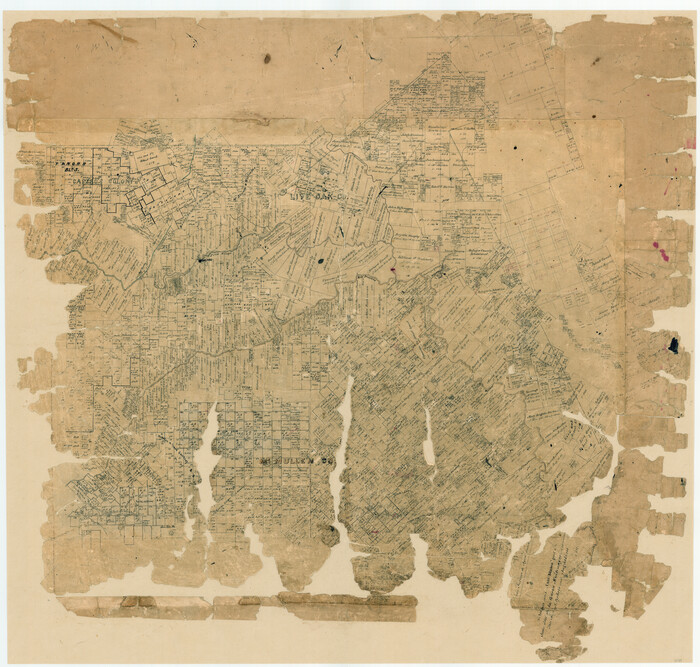
Live Oak County Sketch File 31

Print $30.00
- Digital $50.00
Live Oak County Sketch File 31
1935
Size: 36.0 x 32.5 inches
10528
Live Oak County Rolled Sketch 3

Print $20.00
- Digital $50.00
Live Oak County Rolled Sketch 3
1944
Size: 31.2 x 47.2 inches
10630
[McMullen and Live Oak County]
Print $20.00
- Digital $50.00
[McMullen and Live Oak County]
1870
Size: 34.3 x 36.0 inches
10789
Bee County Sketch File 11

Print $40.00
- Digital $50.00
Bee County Sketch File 11
Size: 20.8 x 25.0 inches
10915
Live Oak County Sketch File 4

Print $20.00
- Digital $50.00
Live Oak County Sketch File 4
1858
Size: 16.3 x 19.2 inches
12006
Live Oak County Sketch File 17

Print $20.00
- Digital $50.00
Live Oak County Sketch File 17
Size: 24.2 x 25.4 inches
12007
Live Oak County Sketch File 23

Print $20.00
- Digital $50.00
Live Oak County Sketch File 23
1910
Size: 22.6 x 19.6 inches
12009
Live Oak County Sketch File 24

Print $20.00
- Digital $50.00
Live Oak County Sketch File 24
1912
Size: 20.0 x 19.6 inches
12010
Live Oak County Sketch File 34

Print $28.00
- Digital $50.00
Live Oak County Sketch File 34
1963
Size: 31.0 x 23.9 inches
12011
McMullen County Sketch File 26

Print $20.00
- Digital $50.00
McMullen County Sketch File 26
1884
Size: 14.7 x 19.8 inches
12060
McMullen County Sketch File 28

Print $20.00
- Digital $50.00
McMullen County Sketch File 28
1884
Size: 24.8 x 28.1 inches
12061
McMullen County Sketch File 47

Print $20.00
- Digital $50.00
McMullen County Sketch File 47
1989
Size: 24.6 x 21.5 inches
12066
San Patricio County Sketch File 4

Print $40.00
- Digital $50.00
San Patricio County Sketch File 4
Size: 16.9 x 30.5 inches
12283
Atascosa County Sketch File 6

Print $26.00
- Digital $50.00
Atascosa County Sketch File 6
Size: 12.2 x 7.8 inches
13752
Atascosa County Sketch File 42

Print $12.00
- Digital $50.00
Atascosa County Sketch File 42
1916
Size: 11.2 x 8.8 inches
13847
Bee County Sketch File 12

Print $4.00
- Digital $50.00
Bee County Sketch File 12
1876
Size: 8.2 x 9.8 inches
14293
Bee County Sketch File 13

Print $4.00
- Digital $50.00
Bee County Sketch File 13
1876
Size: 12.6 x 8.1 inches
14295
Bee County Sketch File 14

Print $40.00
- Digital $50.00
Bee County Sketch File 14
1878
Size: 14.5 x 12.5 inches
14297
Bee County Sketch File 18

Print $6.00
- Digital $50.00
Bee County Sketch File 18
1880
Size: 11.8 x 10.3 inches
14303
[Surveys along Lagarta Creek]
Print $3.00
- Digital $50.00
[Surveys along Lagarta Creek]
1847
Size: 10.7 x 15.1 inches
190
Duval County Sketch File 25

Print $8.00
- Digital $50.00
Duval County Sketch File 25
Size: 11.4 x 9.1 inches
21328
Duval County Sketch File 48

Print $8.00
- Digital $50.00
Duval County Sketch File 48
1935
Size: 14.2 x 8.8 inches
21405
Duval County Sketch File 80

Print $32.00
- Digital $50.00
Duval County Sketch File 80
Size: 14.1 x 8.9 inches
21492
Karnes County Sketch File 8

Print $78.00
- Digital $50.00
Karnes County Sketch File 8
1876
Size: 12.7 x 8.2 inches
28565
La Salle County Sketch File 12

Print $15.00
- Digital $50.00
La Salle County Sketch File 12
1877
Size: 10.0 x 8.1 inches
29470
[Surveys along San Cristoval Creek]
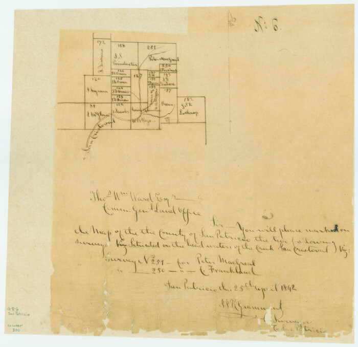
Print $2.00
- Digital $50.00
[Surveys along San Cristoval Creek]
1842
Size: 9.0 x 9.3 inches
300
Live Oak County Sketch File A

Print $2.00
- Digital $50.00
Live Oak County Sketch File A
Size: 7.9 x 4.7 inches
30250
Live Oak County Sketch File 1

Print $4.00
- Digital $50.00
Live Oak County Sketch File 1
1856
Size: 11.5 x 7.8 inches
30251
Live Oak County Sketch File 31
Print $30.00
- Digital $50.00
Live Oak County Sketch File 31
1935
-
Size
36.0 x 32.5 inches
-
Map/Doc
10528
-
Creation Date
1935
Live Oak County Rolled Sketch 3
Print $20.00
- Digital $50.00
Live Oak County Rolled Sketch 3
1944
-
Size
31.2 x 47.2 inches
-
Map/Doc
10630
-
Creation Date
1944
[McMullen and Live Oak County]
Print $20.00
- Digital $50.00
[McMullen and Live Oak County]
1870
-
Size
34.3 x 36.0 inches
-
Map/Doc
10789
-
Creation Date
1870
Bee County Sketch File 11
Print $40.00
- Digital $50.00
Bee County Sketch File 11
-
Size
20.8 x 25.0 inches
-
Map/Doc
10915
Live Oak County Sketch File 4
Print $20.00
- Digital $50.00
Live Oak County Sketch File 4
1858
-
Size
16.3 x 19.2 inches
-
Map/Doc
12006
-
Creation Date
1858
Live Oak County Sketch File 17
Print $20.00
- Digital $50.00
Live Oak County Sketch File 17
-
Size
24.2 x 25.4 inches
-
Map/Doc
12007
Live Oak County Sketch File 23
Print $20.00
- Digital $50.00
Live Oak County Sketch File 23
1910
-
Size
22.6 x 19.6 inches
-
Map/Doc
12009
-
Creation Date
1910
Live Oak County Sketch File 24
Print $20.00
- Digital $50.00
Live Oak County Sketch File 24
1912
-
Size
20.0 x 19.6 inches
-
Map/Doc
12010
-
Creation Date
1912
Live Oak County Sketch File 34
Print $28.00
- Digital $50.00
Live Oak County Sketch File 34
1963
-
Size
31.0 x 23.9 inches
-
Map/Doc
12011
-
Creation Date
1963
McMullen County Sketch File 26
Print $20.00
- Digital $50.00
McMullen County Sketch File 26
1884
-
Size
14.7 x 19.8 inches
-
Map/Doc
12060
-
Creation Date
1884
McMullen County Sketch File 28
Print $20.00
- Digital $50.00
McMullen County Sketch File 28
1884
-
Size
24.8 x 28.1 inches
-
Map/Doc
12061
-
Creation Date
1884
McMullen County Sketch File 47
Print $20.00
- Digital $50.00
McMullen County Sketch File 47
1989
-
Size
24.6 x 21.5 inches
-
Map/Doc
12066
-
Creation Date
1989
San Patricio County Sketch File 4
Print $40.00
- Digital $50.00
San Patricio County Sketch File 4
-
Size
16.9 x 30.5 inches
-
Map/Doc
12283
Atascosa County Sketch File 6
Print $26.00
- Digital $50.00
Atascosa County Sketch File 6
-
Size
12.2 x 7.8 inches
-
Map/Doc
13752
Atascosa County Sketch File 42
Print $12.00
- Digital $50.00
Atascosa County Sketch File 42
1916
-
Size
11.2 x 8.8 inches
-
Map/Doc
13847
-
Creation Date
1916
Bee County Sketch File 12
Print $4.00
- Digital $50.00
Bee County Sketch File 12
1876
-
Size
8.2 x 9.8 inches
-
Map/Doc
14293
-
Creation Date
1876
Bee County Sketch File 13
Print $4.00
- Digital $50.00
Bee County Sketch File 13
1876
-
Size
12.6 x 8.1 inches
-
Map/Doc
14295
-
Creation Date
1876
Bee County Sketch File 14
Print $40.00
- Digital $50.00
Bee County Sketch File 14
1878
-
Size
14.5 x 12.5 inches
-
Map/Doc
14297
-
Creation Date
1878
Bee County Sketch File 18
Print $6.00
- Digital $50.00
Bee County Sketch File 18
1880
-
Size
11.8 x 10.3 inches
-
Map/Doc
14303
-
Creation Date
1880
Live Oak County

Print $40.00
- Digital $50.00
Live Oak County
1899
-
Size
50.3 x 35.3 inches
-
Map/Doc
16882
-
Creation Date
1899
Live Oak Co.

Print $40.00
- Digital $50.00
Live Oak Co.
1947
-
Size
53.9 x 40.1 inches
-
Map/Doc
1884
-
Creation Date
1947
[Surveys along Lagarta Creek]
Print $3.00
- Digital $50.00
[Surveys along Lagarta Creek]
1847
-
Size
10.7 x 15.1 inches
-
Map/Doc
190
-
Creation Date
1847
Duval County Sketch File 25
Print $8.00
- Digital $50.00
Duval County Sketch File 25
-
Size
11.4 x 9.1 inches
-
Map/Doc
21328
Duval County Sketch File 48
Print $8.00
- Digital $50.00
Duval County Sketch File 48
1935
-
Size
14.2 x 8.8 inches
-
Map/Doc
21405
-
Creation Date
1935
Duval County Sketch File 80
Print $32.00
- Digital $50.00
Duval County Sketch File 80
-
Size
14.1 x 8.9 inches
-
Map/Doc
21492
Karnes County Sketch File 8
Print $78.00
- Digital $50.00
Karnes County Sketch File 8
1876
-
Size
12.7 x 8.2 inches
-
Map/Doc
28565
-
Creation Date
1876
La Salle County Sketch File 12
Print $15.00
- Digital $50.00
La Salle County Sketch File 12
1877
-
Size
10.0 x 8.1 inches
-
Map/Doc
29470
-
Creation Date
1877
[Surveys along San Cristoval Creek]
Print $2.00
- Digital $50.00
[Surveys along San Cristoval Creek]
1842
-
Size
9.0 x 9.3 inches
-
Map/Doc
300
-
Creation Date
1842
Live Oak County Sketch File A
Print $2.00
- Digital $50.00
Live Oak County Sketch File A
-
Size
7.9 x 4.7 inches
-
Map/Doc
30250
Live Oak County Sketch File 1
Print $4.00
- Digital $50.00
Live Oak County Sketch File 1
1856
-
Size
11.5 x 7.8 inches
-
Map/Doc
30251
-
Creation Date
1856