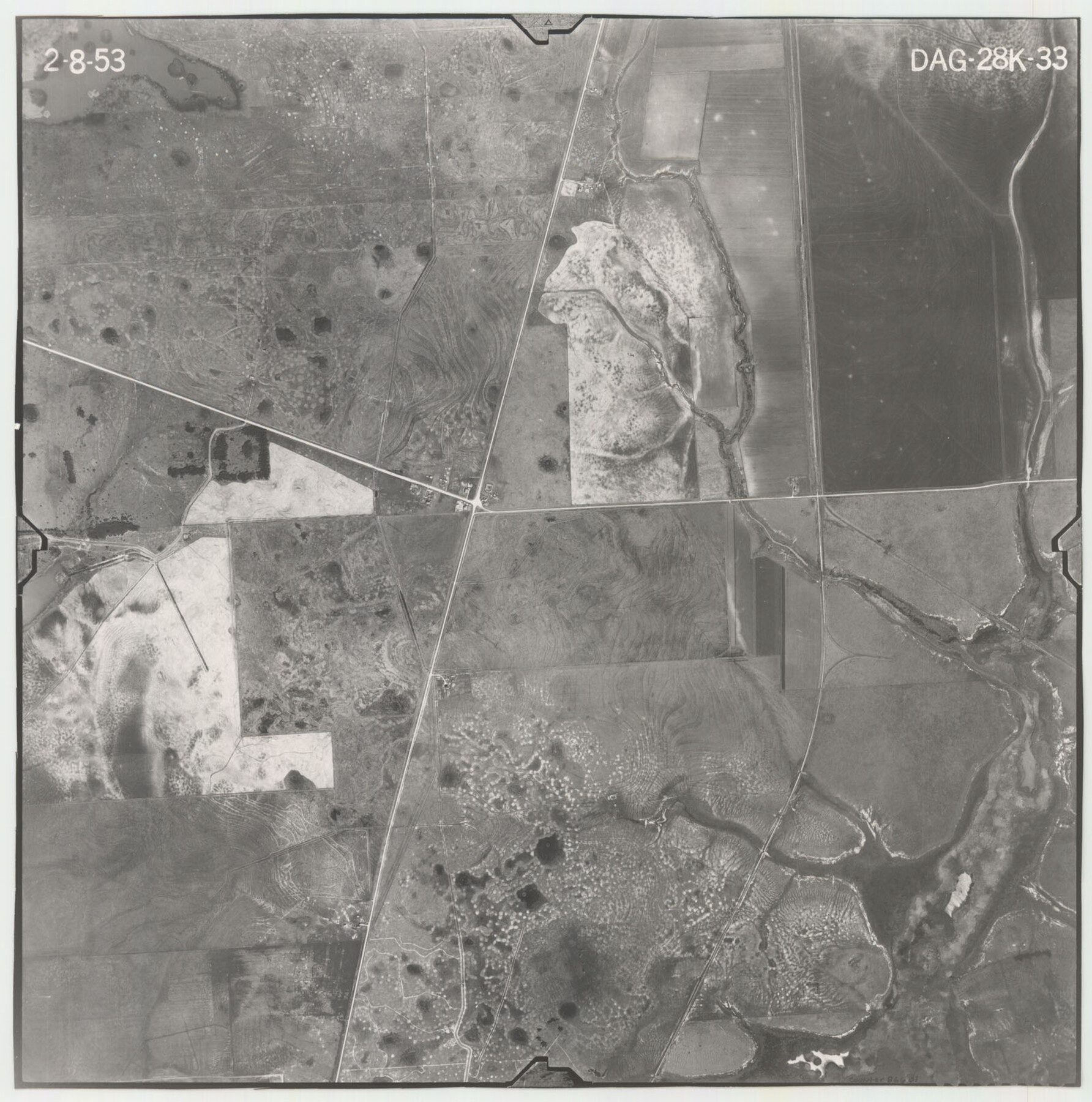
Flight Mission No. DAG-28K, Frame 33, Matagorda County
DAG-28K-33
-
Map/Doc
86601
-
Collection
General Map Collection
-
Object Dates
1953/2/8 (Creation Date)
-
People and Organizations
U. S. Department of Agriculture (Publisher)
-
Counties
Matagorda
-
Subjects
Aerial Photograph
-
Height x Width
16.2 x 16.0 inches
41.1 x 40.6 cm
-
Comments
Flown by Aero Exploration Company of Tulsa, Oklahoma.
Part of: General Map Collection
Sabine County Rolled Sketch 1

Print $20.00
- Digital $50.00
Sabine County Rolled Sketch 1
1958
Size 36.5 x 41.3 inches
Map/Doc 9879
Kerr County Working Sketch 17

Print $20.00
- Digital $50.00
Kerr County Working Sketch 17
1956
Size 20.0 x 23.7 inches
Map/Doc 70048
Colorado County Sketch File 34

Print $86.00
- Digital $50.00
Colorado County Sketch File 34
1996
Size 14.2 x 8.8 inches
Map/Doc 18992
Crockett County Sketch File 85

Print $6.00
- Digital $50.00
Crockett County Sketch File 85
1952
Size 33.7 x 31.2 inches
Map/Doc 10345
Coke County Sketch File 13

Print $40.00
- Digital $50.00
Coke County Sketch File 13
Size 17.5 x 13.1 inches
Map/Doc 18596
Webb County Working Sketch 68

Print $40.00
- Digital $50.00
Webb County Working Sketch 68
1967
Size 31.6 x 50.7 inches
Map/Doc 72435
Flight Mission No. CRC-4R, Frame 153, Chambers County

Print $20.00
- Digital $50.00
Flight Mission No. CRC-4R, Frame 153, Chambers County
1956
Size 18.7 x 22.4 inches
Map/Doc 84916
Flight Mission No. BRE-1P, Frame 44, Nueces County

Print $20.00
- Digital $50.00
Flight Mission No. BRE-1P, Frame 44, Nueces County
1956
Size 18.3 x 22.1 inches
Map/Doc 86633
Neches River, Watershed of the Neches River

Print $6.00
- Digital $50.00
Neches River, Watershed of the Neches River
1925
Size 34.6 x 28.3 inches
Map/Doc 65085
[Map of Matagorda County]
![3841, [Map of Matagorda County], General Map Collection](https://historictexasmaps.com/wmedia_w700/maps/3841-1.tif.jpg)
Print $20.00
- Digital $50.00
[Map of Matagorda County]
Size 24.4 x 25.6 inches
Map/Doc 3841
Leon County Rolled Sketch 31

Print $20.00
- Digital $50.00
Leon County Rolled Sketch 31
1990
Size 44.5 x 32.7 inches
Map/Doc 6614

You may also like
[Office Sketch of County School Land surveys in Schleicher County, Texas]
![75770, [Office Sketch of County School Land surveys in Schleicher County, Texas], Maddox Collection](https://historictexasmaps.com/wmedia_w700/maps/75770.tif.jpg)
Print $20.00
- Digital $50.00
[Office Sketch of County School Land surveys in Schleicher County, Texas]
Size 13.1 x 21.0 inches
Map/Doc 75770

The Land Offices. No. 8, Mina, December 22, 1836

Print $20.00
The Land Offices. No. 8, Mina, December 22, 1836
2020
Size 19.9 x 21.7 inches
Map/Doc 96421
Sutton County Working Sketch 9

Print $20.00
- Digital $50.00
Sutton County Working Sketch 9
1972
Size 41.8 x 38.1 inches
Map/Doc 62352
Williamson County

Print $40.00
- Digital $50.00
Williamson County
1946
Size 38.7 x 56.8 inches
Map/Doc 95676
Map of Eastland County, the portion on the waters of Colorado River Travis the balance- Milam- Land District

Print $20.00
- Digital $50.00
Map of Eastland County, the portion on the waters of Colorado River Travis the balance- Milam- Land District
1875
Size 24.6 x 22.2 inches
Map/Doc 3500
Sketch showing the route of the military road from Red River to Austin

Print $20.00
- Digital $50.00
Sketch showing the route of the military road from Red River to Austin
1840
Size 33.2 x 13.1 inches
Map/Doc 1752
Zapata County Working Sketch 4

Print $20.00
- Digital $50.00
Zapata County Working Sketch 4
1935
Size 19.6 x 22.1 inches
Map/Doc 62055
Presidio County Boundary File 1a

Print $80.00
- Digital $50.00
Presidio County Boundary File 1a
Size 50.2 x 14.9 inches
Map/Doc 58052
Nueces County Rolled Sketch 43A

Print $20.00
- Digital $50.00
Nueces County Rolled Sketch 43A
Size 24.0 x 35.4 inches
Map/Doc 6884
The Republic County of Milam. January 29, 1842

Print $20.00
The Republic County of Milam. January 29, 1842
2020
Size 17.4 x 21.6 inches
Map/Doc 96231
Shackelford County Working Sketch 6

Print $20.00
- Digital $50.00
Shackelford County Working Sketch 6
1963
Size 26.1 x 28.9 inches
Map/Doc 63846