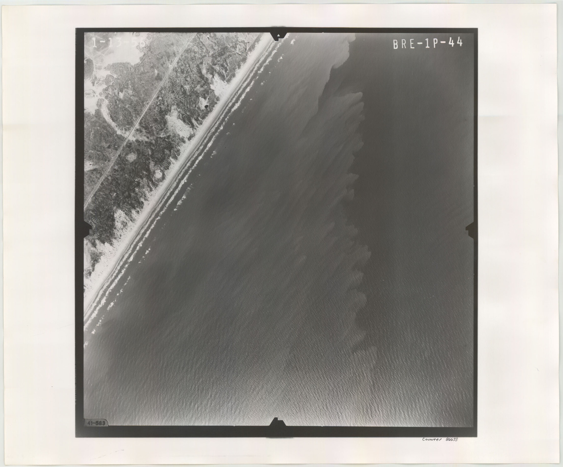
Flight Mission No. BRE-1P, Frame 44, Nueces County
BRE-1P-44
-
Map/Doc
86633
-
Collection
General Map Collection
-
Object Dates
1956/1/13 (Creation Date)
-
People and Organizations
U. S. Department of Agriculture (Publisher)
-
Counties
Nueces
-
Subjects
Aerial Photograph
-
Height x Width
18.3 x 22.1 inches
46.5 x 56.1 cm
-
Comments
Flown by V. L. Beavers and Associates of San Antonio, Texas.
Part of: General Map Collection
Flight Mission No. DQN-1K, Frame 72, Calhoun County

Print $20.00
- Digital $50.00
Flight Mission No. DQN-1K, Frame 72, Calhoun County
1953
Size 18.4 x 22.3 inches
Map/Doc 84159
Brazoria County Rolled Sketch 50

Print $20.00
- Digital $50.00
Brazoria County Rolled Sketch 50
1914
Size 18.4 x 26.4 inches
Map/Doc 5187
Jasper County Sketch File 23

Print $20.00
- Digital $50.00
Jasper County Sketch File 23
Size 15.3 x 24.6 inches
Map/Doc 11850
Map of Freeport, Brazoria County, Texas

Print $20.00
- Digital $50.00
Map of Freeport, Brazoria County, Texas
Size 27.0 x 39.1 inches
Map/Doc 7689
Wise County Working Sketch 24

Print $40.00
- Digital $50.00
Wise County Working Sketch 24
1983
Size 37.1 x 58.2 inches
Map/Doc 72638
Leon County Working Sketch 27

Print $20.00
- Digital $50.00
Leon County Working Sketch 27
1970
Size 22.4 x 24.4 inches
Map/Doc 70426
King County Boundary File 5a

Print $40.00
- Digital $50.00
King County Boundary File 5a
Size 10.3 x 38.1 inches
Map/Doc 64922
Uvalde County Sketch File 26-2

Print $6.00
- Digital $50.00
Uvalde County Sketch File 26-2
1942
Size 11.4 x 9.0 inches
Map/Doc 39020
Val Verde County Working Sketch 95

Print $20.00
- Digital $50.00
Val Verde County Working Sketch 95
1980
Size 26.5 x 31.8 inches
Map/Doc 72230
Hudspeth County Sketch File 21a

Print $10.00
- Digital $50.00
Hudspeth County Sketch File 21a
Size 10.6 x 8.4 inches
Map/Doc 26969
Cooke County Sketch File 22

Print $6.00
- Digital $50.00
Cooke County Sketch File 22
1870
Size 6.4 x 8.2 inches
Map/Doc 19267
Williamson County Sketch File 13a

Print $4.00
- Digital $50.00
Williamson County Sketch File 13a
1871
Size 8.1 x 13.6 inches
Map/Doc 40330
You may also like
Map of the United States Engraved to Illustrate Mitchell's School and Family Geography

Print $20.00
Map of the United States Engraved to Illustrate Mitchell's School and Family Geography
1839
Size 11.6 x 17.4 inches
Map/Doc 79734
McMullen County Working Sketch 7

Print $20.00
- Digital $50.00
McMullen County Working Sketch 7
1926
Size 20.7 x 17.5 inches
Map/Doc 70708
Johnson County Boundary File 51a

Print $66.00
- Digital $50.00
Johnson County Boundary File 51a
Size 12.7 x 8.2 inches
Map/Doc 55604
Live Oak County Rolled Sketch 1

Print $20.00
- Digital $50.00
Live Oak County Rolled Sketch 1
1943
Size 25.6 x 42.4 inches
Map/Doc 6631
Map of Terry County

Print $20.00
- Digital $50.00
Map of Terry County
1902
Size 44.3 x 40.0 inches
Map/Doc 63062
Val Verde County Working Sketch 19

Print $40.00
- Digital $50.00
Val Verde County Working Sketch 19
1928
Size 48.5 x 43.5 inches
Map/Doc 72154
Starr County Rolled Sketch 33

Print $20.00
- Digital $50.00
Starr County Rolled Sketch 33
1944
Size 21.9 x 30.8 inches
Map/Doc 7830
Dimmit County Sketch File 20

Print $6.00
- Digital $50.00
Dimmit County Sketch File 20
1884
Size 13.0 x 8.7 inches
Map/Doc 21100
Hudspeth County Sketch File 36

Print $12.00
- Digital $50.00
Hudspeth County Sketch File 36
1901
Size 10.5 x 8.2 inches
Map/Doc 27003
Zavala County

Print $20.00
- Digital $50.00
Zavala County
1915
Size 38.6 x 46.6 inches
Map/Doc 16940
Kenedy County Rolled Sketch 3

Print $40.00
- Digital $50.00
Kenedy County Rolled Sketch 3
1904
Size 40.1 x 57.4 inches
Map/Doc 9329
Potter County Sketch File 17

Print $16.00
- Digital $50.00
Potter County Sketch File 17
1920
Size 11.2 x 8.7 inches
Map/Doc 34403