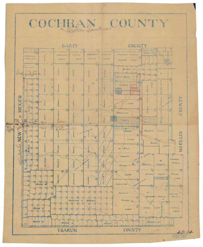
[Elwood Ranch Field Notes]
110-39
-
Map/Doc
91090
-
Collection
Twichell Survey Records
-
Counties
Hockley
-
Height x Width
12.4 x 16.4 inches
31.5 x 41.7 cm
Part of: Twichell Survey Records
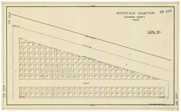
Whiteface Cemetery

Print $20.00
- Digital $50.00
Whiteface Cemetery
Size 29.3 x 18.0 inches
Map/Doc 92525
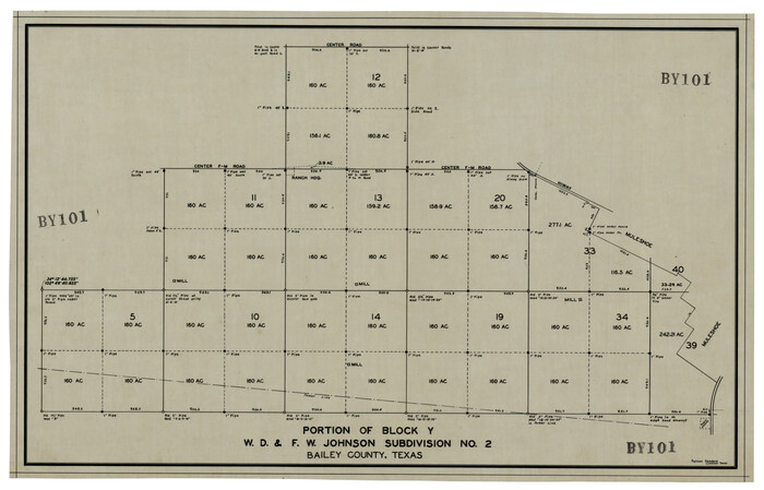
Portion of Block Y, W. D. and F. W. Johnson Subdivision Number 2

Print $20.00
- Digital $50.00
Portion of Block Y, W. D. and F. W. Johnson Subdivision Number 2
Size 23.9 x 15.3 inches
Map/Doc 92500
R. S. Coon's Blue Creek Ranch, Moore County, Texas


Print $20.00
- Digital $50.00
R. S. Coon's Blue Creek Ranch, Moore County, Texas
Size 15.8 x 15.7 inches
Map/Doc 91487
[Sketch of Potter County Road, North of River]
![93058, [Sketch of Potter County Road, North of River], Twichell Survey Records](https://historictexasmaps.com/wmedia_w700/maps/93058-1.tif.jpg)
![93058, [Sketch of Potter County Road, North of River], Twichell Survey Records](https://historictexasmaps.com/wmedia_w700/maps/93058-1.tif.jpg)
Print $3.00
- Digital $50.00
[Sketch of Potter County Road, North of River]
Size 9.6 x 15.0 inches
Map/Doc 93058
[Wilson Strickland Survey]
![91378, [Wilson Strickland Survey], Twichell Survey Records](https://historictexasmaps.com/wmedia_w700/maps/91378-1.tif.jpg)
![91378, [Wilson Strickland Survey], Twichell Survey Records](https://historictexasmaps.com/wmedia_w700/maps/91378-1.tif.jpg)
Print $20.00
- Digital $50.00
[Wilson Strickland Survey]
Size 39.7 x 29.2 inches
Map/Doc 91378
[Surveys along State Line]
![91403, [Surveys along State Line], Twichell Survey Records](https://historictexasmaps.com/wmedia_w700/maps/91403-1.tif.jpg)
![91403, [Surveys along State Line], Twichell Survey Records](https://historictexasmaps.com/wmedia_w700/maps/91403-1.tif.jpg)
Print $3.00
- Digital $50.00
[Surveys along State Line]
Size 7.4 x 17.2 inches
Map/Doc 91403
[Sketch between Wheeler County and Oklahoma]
![89674, [Sketch between Wheeler County and Oklahoma], Twichell Survey Records](https://historictexasmaps.com/wmedia_w700/maps/89674-1.tif.jpg)
![89674, [Sketch between Wheeler County and Oklahoma], Twichell Survey Records](https://historictexasmaps.com/wmedia_w700/maps/89674-1.tif.jpg)
Print $40.00
- Digital $50.00
[Sketch between Wheeler County and Oklahoma]
Size 64.9 x 10.2 inches
Map/Doc 89674
Revised Plat, Section J, Tech Memorial Park, Inc., Infants Garden


Print $20.00
- Digital $50.00
Revised Plat, Section J, Tech Memorial Park, Inc., Infants Garden
1961
Size 29.1 x 33.7 inches
Map/Doc 92786
[Sketch showing Midland and Martin County School Land Leagues]
![90295, [Sketch showing Midland and Martin County School Land Leagues], Twichell Survey Records](https://historictexasmaps.com/wmedia_w700/maps/90295-1.tif.jpg)
![90295, [Sketch showing Midland and Martin County School Land Leagues], Twichell Survey Records](https://historictexasmaps.com/wmedia_w700/maps/90295-1.tif.jpg)
Print $20.00
- Digital $50.00
[Sketch showing Midland and Martin County School Land Leagues]
Size 14.0 x 18.0 inches
Map/Doc 90295
[Sketch showing Randall County School Land Leagues and Vicinity]
![89731, [Sketch showing Randall County School Land Leagues and Vicinity], Twichell Survey Records](https://historictexasmaps.com/wmedia_w700/maps/89731-1.tif.jpg)
![89731, [Sketch showing Randall County School Land Leagues and Vicinity], Twichell Survey Records](https://historictexasmaps.com/wmedia_w700/maps/89731-1.tif.jpg)
Print $40.00
- Digital $50.00
[Sketch showing Randall County School Land Leagues and Vicinity]
Size 22.6 x 52.4 inches
Map/Doc 89731
Seminole Cemetery, Gaines County, Texas


Print $20.00
- Digital $50.00
Seminole Cemetery, Gaines County, Texas
Size 29.2 x 31.7 inches
Map/Doc 92690
You may also like
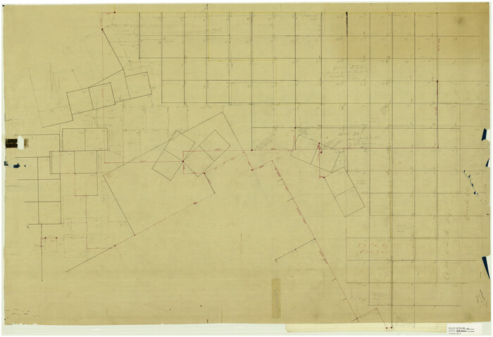
Jeff Davis County Rolled Sketch 17

Print $20.00
- Digital $50.00
Jeff Davis County Rolled Sketch 17
Size 28.7 x 42.2 inches
Map/Doc 6370
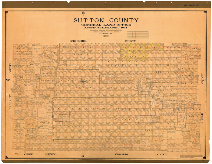
Sutton County

Print $40.00
- Digital $50.00
Sutton County
1941
Size 43.8 x 56.5 inches
Map/Doc 95647
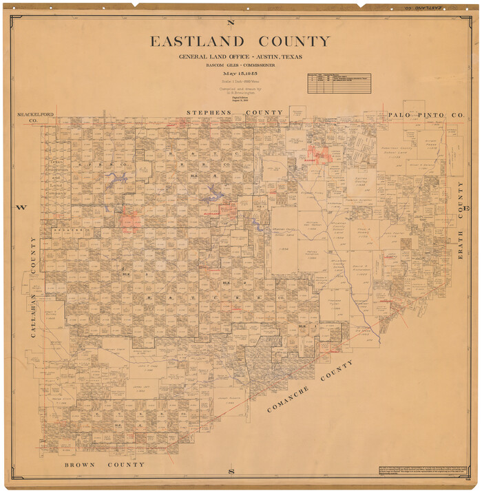
Eastland County

Print $20.00
- Digital $50.00
Eastland County
1945
Size 44.4 x 43.7 inches
Map/Doc 95486
McCulloch County Sketch File 14


Print $8.00
- Digital $50.00
McCulloch County Sketch File 14
1990
Size 11.2 x 8.7 inches
Map/Doc 31203
Hunt County Working Sketch 2


Print $20.00
- Digital $50.00
Hunt County Working Sketch 2
Size 20.5 x 16.5 inches
Map/Doc 66349
[Corpus Christi Bay, Padre Island, Mustang Island, Laguna de la Madre, King and Kenedy's Pasture]
![73042, [Corpus Christi Bay, Padre Island, Mustang Island, Laguna de la Madre, King and Kenedy's Pasture], General Map Collection](https://historictexasmaps.com/wmedia_w700/maps/73042.tif.jpg)
![73042, [Corpus Christi Bay, Padre Island, Mustang Island, Laguna de la Madre, King and Kenedy's Pasture], General Map Collection](https://historictexasmaps.com/wmedia_w700/maps/73042.tif.jpg)
Print $20.00
- Digital $50.00
[Corpus Christi Bay, Padre Island, Mustang Island, Laguna de la Madre, King and Kenedy's Pasture]
Size 26.2 x 18.2 inches
Map/Doc 73042
Colorado River, Willow Creek Valley Sheet[/Near Kirtley, Texas Mapped in Cooperation with Commissioner's Court of Fayette Co.]
![65322, Colorado River, Willow Creek Valley Sheet[/Near Kirtley, Texas Mapped in Cooperation with Commissioner's Court of Fayette Co.], General Map Collection](https://historictexasmaps.com/wmedia_w700/maps/65322.tif.jpg)
![65322, Colorado River, Willow Creek Valley Sheet[/Near Kirtley, Texas Mapped in Cooperation with Commissioner's Court of Fayette Co.], General Map Collection](https://historictexasmaps.com/wmedia_w700/maps/65322.tif.jpg)
Print $20.00
- Digital $50.00
Colorado River, Willow Creek Valley Sheet[/Near Kirtley, Texas Mapped in Cooperation with Commissioner's Court of Fayette Co.]
1938
Size 38.2 x 40.8 inches
Map/Doc 65322
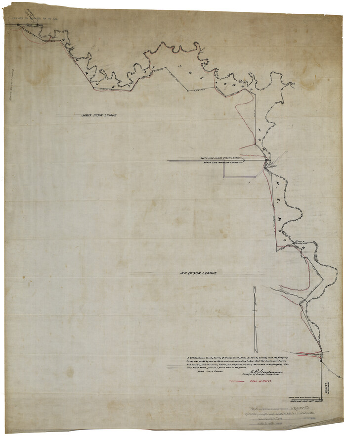
Orange County Rolled Sketch CR

Print $20.00
- Digital $50.00
Orange County Rolled Sketch CR
Size 39.4 x 31.5 inches
Map/Doc 9653
Map of Texas and Pacific Ry. Company's Surveys in the 80 Mile Reserve


Print $20.00
- Digital $50.00
Map of Texas and Pacific Ry. Company's Surveys in the 80 Mile Reserve
1885
Size 44.0 x 46.6 inches
Map/Doc 83558
[Atlas D, Table of Contents]
![78350, [Atlas D, Table of Contents], General Map Collection](https://historictexasmaps.com/wmedia_w700/maps/78350.tif.jpg)
![78350, [Atlas D, Table of Contents], General Map Collection](https://historictexasmaps.com/wmedia_w700/maps/78350.tif.jpg)
Print $20.00
- Digital $50.00
[Atlas D, Table of Contents]
Size 18.3 x 9.5 inches
Map/Doc 78350
Map of Bexar County


Print $40.00
- Digital $50.00
Map of Bexar County
1845
Size 90.6 x 81.0 inches
Map/Doc 82242
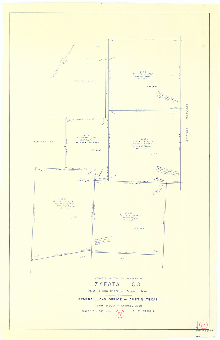
Zapata County Working Sketch 17

Print $20.00
- Digital $50.00
Zapata County Working Sketch 17
1970
Size 30.0 x 19.4 inches
Map/Doc 62068
![91090, [Elwood Ranch Field Notes], Twichell Survey Records](https://historictexasmaps.com/wmedia_w1800h1800/maps/91090-1.tif.jpg)
