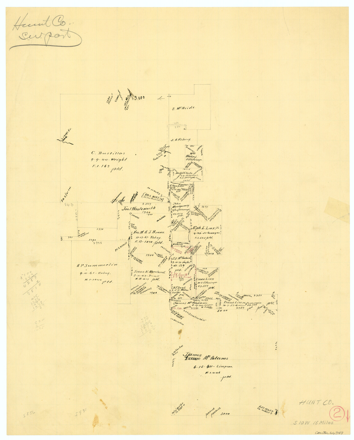
Hunt County Working Sketch 2
-
Map/Doc
66349
-
Collection
General Map Collection
-
Counties
Hunt
-
Subjects
Surveying Working Sketch
-
Height x Width
20.5 x 16.5 inches
52.1 x 41.9 cm
Part of: General Map Collection
Pecos County Working Sketch 140

Print $20.00
- Digital $50.00
Pecos County Working Sketch 140
1983
Size 43.1 x 42.9 inches
Map/Doc 71614
Hansford County

Print $20.00
- Digital $50.00
Hansford County
1932
Size 39.6 x 38.5 inches
Map/Doc 77301
Fort Bend County Working Sketch 8

Print $20.00
- Digital $50.00
Fort Bend County Working Sketch 8
1922
Size 24.9 x 17.6 inches
Map/Doc 69214
Nueces County Rolled Sketch 113A

Print $20.00
- Digital $50.00
Nueces County Rolled Sketch 113A
1972
Size 19.1 x 24.4 inches
Map/Doc 7121
Hardeman County Boundary File 3

Print $18.00
- Digital $50.00
Hardeman County Boundary File 3
Size 14.1 x 8.8 inches
Map/Doc 54375
Hudspeth County Rolled Sketch 36

Print $20.00
- Digital $50.00
Hudspeth County Rolled Sketch 36
1952
Size 30.8 x 19.9 inches
Map/Doc 6249
Blanco County Working Sketch 18

Print $20.00
- Digital $50.00
Blanco County Working Sketch 18
1912
Size 19.0 x 15.9 inches
Map/Doc 67378
Karnes County Rolled Sketch 2

Print $20.00
- Digital $50.00
Karnes County Rolled Sketch 2
1957
Size 35.3 x 30.0 inches
Map/Doc 6453
Coke County Working Sketch 14

Print $40.00
- Digital $50.00
Coke County Working Sketch 14
1948
Size 50.3 x 43.1 inches
Map/Doc 68051

Houston Ship Channel

Print $20.00
- Digital $50.00
Houston Ship Channel
1926
Size 32.9 x 38.3 inches
Map/Doc 69893
Montgomery County Working Sketch 4

Print $20.00
- Digital $50.00
Montgomery County Working Sketch 4
1926
Size 20.9 x 22.2 inches
Map/Doc 71110
You may also like
Map of Hall County

Print $20.00
- Digital $50.00
Map of Hall County
1900
Size 41.2 x 41.3 inches
Map/Doc 16842
University of Texas System University Lands

Print $20.00
- Digital $50.00
University of Texas System University Lands
1938
Size 17.8 x 23.4 inches
Map/Doc 93247
Map of Texas Gulf Coast and Continental Shelf showing Natural Gas Pipe Lines

Print $40.00
- Digital $50.00
Map of Texas Gulf Coast and Continental Shelf showing Natural Gas Pipe Lines
1979
Size 40.9 x 59.3 inches
Map/Doc 75905
[Sections 67-76, Block 47]
![91789, [Sections 67-76, Block 47], Twichell Survey Records](https://historictexasmaps.com/wmedia_w700/maps/91789-1.tif.jpg)
Print $2.00
- Digital $50.00
[Sections 67-76, Block 47]
Size 11.4 x 8.9 inches
Map/Doc 91789
Mitchell County Sketch File 15

Print $20.00
- Digital $50.00
Mitchell County Sketch File 15
1931
Size 19.2 x 19.6 inches
Map/Doc 12102
Smith County Sketch File 12

Print $4.00
- Digital $50.00
Smith County Sketch File 12
1859
Size 8.3 x 12.0 inches
Map/Doc 36769
Aransas County Rolled Sketch 19A

Print $20.00
- Digital $50.00
Aransas County Rolled Sketch 19A
1979
Size 32.0 x 24.8 inches
Map/Doc 76068
Reagan County Working Sketch 20

Print $40.00
- Digital $50.00
Reagan County Working Sketch 20
1954
Size 37.5 x 68.2 inches
Map/Doc 71862
Flight Mission No. CUG-2P, Frame 88, Kleberg County

Print $20.00
- Digital $50.00
Flight Mission No. CUG-2P, Frame 88, Kleberg County
1956
Size 18.5 x 22.2 inches
Map/Doc 86220

Hays County Rolled Sketch 20A

Print $20.00
- Digital $50.00
Hays County Rolled Sketch 20A
Size 20.7 x 23.9 inches
Map/Doc 6177
Angelina County Working Sketch 3

Print $20.00
- Digital $50.00
Angelina County Working Sketch 3
1894
Size 17.9 x 16.6 inches
Map/Doc 67083