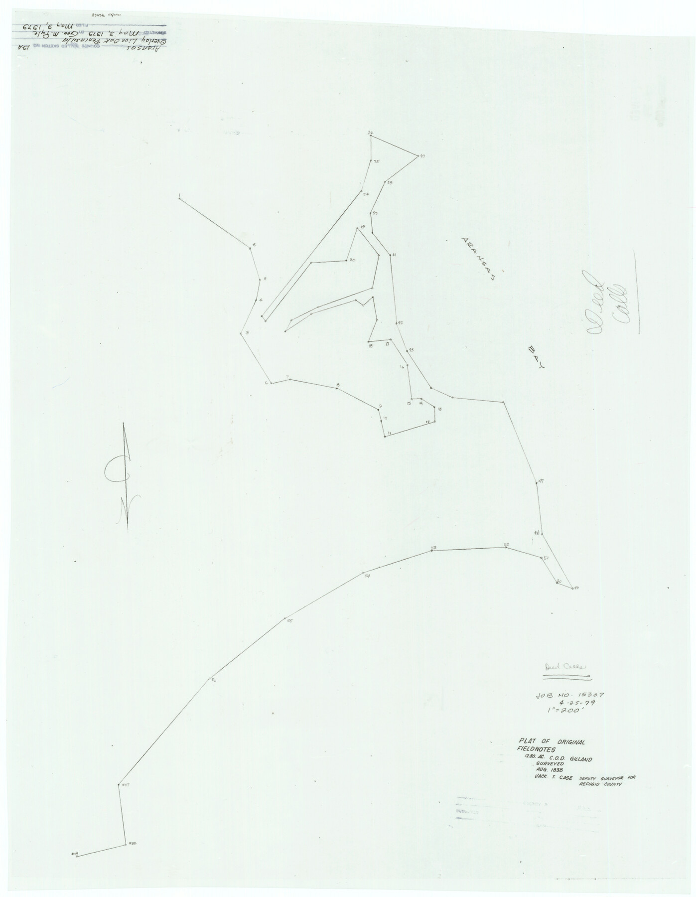
Aransas County Rolled Sketch 19A
[Overlay, Live Oak Peninsula]
-
Map/Doc
76068
-
Collection
General Map Collection
-
Object Dates
1979/5/3 (Creation Date)
1979/5/9 (File Date)
-
People and Organizations
George M. Pyle (Surveyor/Engineer)
-
Counties
Aransas
-
Subjects
Surveying Rolled Sketch
-
Height x Width
32.0 x 24.8 inches
81.3 x 63.0 cm
-
Medium
paper, manuscript
-
Scale
1" = 200'
-
Comments
See Aransas County Rolled Sketches 19 (82559), 19B (76077), and 19C (5063).
Related maps
Aransas County Rolled Sketch 19C

Print $20.00
- Digital $50.00
Aransas County Rolled Sketch 19C
Size 40.9 x 30.6 inches
Map/Doc 5063
Aransas County Rolled Sketch 19B

Print $20.00
- Digital $50.00
Aransas County Rolled Sketch 19B
1979
Size 25.7 x 18.7 inches
Map/Doc 76077
Aransas County Rolled Sketch 19

Print $20.00
- Digital $50.00
Aransas County Rolled Sketch 19
1979
Size 24.8 x 36.7 inches
Map/Doc 82559
Part of: General Map Collection
Exploration of the Red River of Louisiana in the the year 1852 by Randolph B. Marcy, Captain Fifth Infantry U.S. Army; assisted by George B. McClellan, Brevet Captain U.S. Engineers

Exploration of the Red River of Louisiana in the the year 1852 by Randolph B. Marcy, Captain Fifth Infantry U.S. Army; assisted by George B. McClellan, Brevet Captain U.S. Engineers
Size 9.5 x 11.7 inches
Map/Doc 95321
Comanche County Sketch File 2

Print $40.00
- Digital $50.00
Comanche County Sketch File 2
1849
Size 16.0 x 12.9 inches
Map/Doc 19053
Bee County Working Sketch 21

Print $20.00
- Digital $50.00
Bee County Working Sketch 21
1983
Size 32.5 x 37.5 inches
Map/Doc 67271
Flight Mission No. CRC-4R, Frame 76, Chambers County

Print $20.00
- Digital $50.00
Flight Mission No. CRC-4R, Frame 76, Chambers County
1956
Size 18.8 x 22.4 inches
Map/Doc 84880
Lubbock County Working Sketch 2

Print $20.00
- Digital $50.00
Lubbock County Working Sketch 2
Size 31.7 x 21.4 inches
Map/Doc 70661
Fayette County Boundary File 7

Print $40.00
- Digital $50.00
Fayette County Boundary File 7
Size 18.1 x 13.1 inches
Map/Doc 53400
Brazos County Working Sketch 7

Print $20.00
- Digital $50.00
Brazos County Working Sketch 7
1981
Size 12.1 x 33.1 inches
Map/Doc 67482
Hays County Working Sketch 23

Print $20.00
- Digital $50.00
Hays County Working Sketch 23
2011
Size 30.5 x 29.2 inches
Map/Doc 90090
Kimble County Working Sketch 9

Print $20.00
- Digital $50.00
Kimble County Working Sketch 9
1920
Size 14.3 x 17.3 inches
Map/Doc 70077
Calhoun County Rolled Sketch 10

Print $20.00
- Digital $50.00
Calhoun County Rolled Sketch 10
Size 32.9 x 29.2 inches
Map/Doc 5366
Kimble County Sketch File 27

Print $6.00
- Digital $50.00
Kimble County Sketch File 27
1913
Size 11.4 x 9.7 inches
Map/Doc 28971
Current Miscellaneous File 11

Print $50.00
- Digital $50.00
Current Miscellaneous File 11
1930
Size 11.2 x 8.7 inches
Map/Doc 73778
You may also like
The Republic County of Bexar. November 28, 1839

Print $20.00
The Republic County of Bexar. November 28, 1839
2020
Size 14.8 x 21.1 inches
Map/Doc 96097
Kimble County Working Sketch 27

Print $20.00
- Digital $50.00
Kimble County Working Sketch 27
1934
Size 16.1 x 17.3 inches
Map/Doc 70095
Kendall County Sketch File 1a

Print $18.00
- Digital $50.00
Kendall County Sketch File 1a
1873
Size 5.3 x 6.7 inches
Map/Doc 28673
Gray County Boundary File 11

Print $80.00
- Digital $50.00
Gray County Boundary File 11
Size 20.7 x 19.7 inches
Map/Doc 53912
Fisher County Sketch File Bb

Print $26.00
- Digital $50.00
Fisher County Sketch File Bb
1902
Size 14.3 x 8.7 inches
Map/Doc 22657
Copy of Surveyor's Field Book, Morris Browning - In Blocks 7, 5 & 4, I&GNRRCo., Hutchinson and Carson Counties, Texas

Print $2.00
- Digital $50.00
Copy of Surveyor's Field Book, Morris Browning - In Blocks 7, 5 & 4, I&GNRRCo., Hutchinson and Carson Counties, Texas
1888
Size 6.9 x 8.8 inches
Map/Doc 62264
Uvalde County Sketch File 26-2

Print $6.00
- Digital $50.00
Uvalde County Sketch File 26-2
1942
Size 11.4 x 9.0 inches
Map/Doc 39020
Gaines County Sketch File 25

Print $4.00
- Digital $50.00
Gaines County Sketch File 25
2002
Size 11.0 x 8.5 inches
Map/Doc 82618
[John H. Gibson Section 892 and Surrounding Surveys]
![92841, [John H. Gibson Section 892 and Surrounding Surveys], Twichell Survey Records](https://historictexasmaps.com/wmedia_w700/maps/92841-1.tif.jpg)
Print $3.00
- Digital $50.00
[John H. Gibson Section 892 and Surrounding Surveys]
Size 15.7 x 11.7 inches
Map/Doc 92841
La Salle County Working Sketch 44

Print $40.00
- Digital $50.00
La Salle County Working Sketch 44
1980
Size 34.7 x 65.8 inches
Map/Doc 70345
Jasper County Sketch File 20

Print $4.00
- Digital $50.00
Jasper County Sketch File 20
Size 8.7 x 12.2 inches
Map/Doc 27818
Marion County Sketch File 15

Print $10.00
- Digital $50.00
Marion County Sketch File 15
1958
Size 14.3 x 8.8 inches
Map/Doc 30585