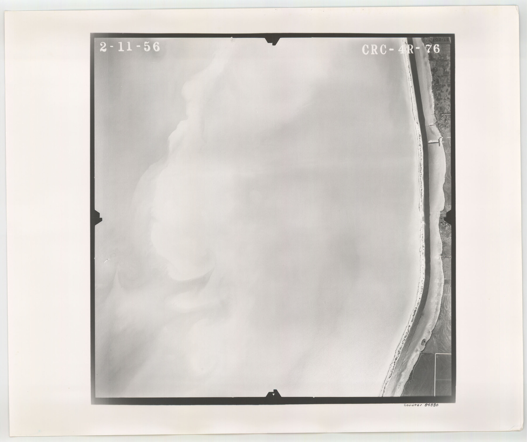
Flight Mission No. CRC-4R, Frame 76, Chambers County
CRC-4R-76
-
Map/Doc
84880
-
Collection
General Map Collection
-
Object Dates
1956/2/11 (Creation Date)
-
People and Organizations
U. S. Department of Agriculture (Publisher)
-
Counties
Chambers
-
Subjects
Aerial Photograph
-
Height x Width
18.8 x 22.4 inches
47.8 x 56.9 cm
-
Comments
Flown by Jack Ammann Photogrammetric Engineers, Inc. of San Antonio, Texas.
Part of: General Map Collection
Harris County Working Sketch 4

Print $20.00
- Digital $50.00
Harris County Working Sketch 4
Size 20.7 x 26.6 inches
Map/Doc 65896
Portion of States Submerged Area in Matagorda Bay

Print $3.00
- Digital $50.00
Portion of States Submerged Area in Matagorda Bay
1922
Size 12.4 x 10.3 inches
Map/Doc 2954
Montague County Sketch File 23

Print $6.00
- Digital $50.00
Montague County Sketch File 23
1941
Size 13.9 x 8.4 inches
Map/Doc 31753
[Sketch for Mineral Application 33721 - 33725 Incl. - Padre and Mustang Island]
![2875, [Sketch for Mineral Application 33721 - 33725 Incl. - Padre and Mustang Island], General Map Collection](https://historictexasmaps.com/wmedia_w700/maps/2875.tif.jpg)
Print $20.00
- Digital $50.00
[Sketch for Mineral Application 33721 - 33725 Incl. - Padre and Mustang Island]
1942
Size 30.9 x 22.0 inches
Map/Doc 2875
Map of Ellis County

Print $20.00
- Digital $50.00
Map of Ellis County
1857
Size 37.7 x 21.4 inches
Map/Doc 4536
Dimmit County Working Sketch 1

Print $20.00
- Digital $50.00
Dimmit County Working Sketch 1
1906
Size 23.6 x 22.7 inches
Map/Doc 68662
Hutchinson County Working Sketch 44

Print $20.00
- Digital $50.00
Hutchinson County Working Sketch 44
1978
Size 27.6 x 23.4 inches
Map/Doc 66404
Comanche County Milam Land District

Print $20.00
- Digital $50.00
Comanche County Milam Land District
1876
Size 22.1 x 23.0 inches
Map/Doc 3433
Hansford County Boundary File 1

Print $24.00
- Digital $50.00
Hansford County Boundary File 1
Size 9.2 x 8.6 inches
Map/Doc 54232
Garza County Sketch File E

Print $20.00
- Digital $50.00
Garza County Sketch File E
Size 16.0 x 15.7 inches
Map/Doc 11552

Flight Mission No. BQR-13K, Frame 163, Brazoria County

Print $20.00
- Digital $50.00
Flight Mission No. BQR-13K, Frame 163, Brazoria County
1952
Size 18.7 x 22.4 inches
Map/Doc 84088
You may also like
Galveston County NRC Article 33.136 Location Key Sheet

Print $20.00
- Digital $50.00
Galveston County NRC Article 33.136 Location Key Sheet
1994
Size 27.0 x 22.0 inches
Map/Doc 77015
La Salle County Working Sketch 41

Print $20.00
- Digital $50.00
La Salle County Working Sketch 41
1969
Size 29.4 x 26.9 inches
Map/Doc 70342
Map of Corpus Christi Bay in Nueces County Showing Subdivision Thereof for Mineral Development

Print $40.00
- Digital $50.00
Map of Corpus Christi Bay in Nueces County Showing Subdivision Thereof for Mineral Development
1946
Size 55.9 x 43.3 inches
Map/Doc 2942
San Patricio County Rolled Sketch 49

Print $20.00
- Digital $50.00
San Patricio County Rolled Sketch 49
1979
Size 21.2 x 20.3 inches
Map/Doc 7735
Edwards County Working Sketch 30

Print $20.00
- Digital $50.00
Edwards County Working Sketch 30
1947
Size 27.7 x 38.2 inches
Map/Doc 68906
Brassos Santiago

Print $20.00
- Digital $50.00
Brassos Santiago
1853
Size 25.3 x 18.3 inches
Map/Doc 72913
[Sketch showing E. line of Lipscomb County along Oklahoma border]
![89718, [Sketch showing E. line of Lipscomb County along Oklahoma border], Twichell Survey Records](https://historictexasmaps.com/wmedia_w700/maps/89718-1.tif.jpg)
Print $40.00
- Digital $50.00
[Sketch showing E. line of Lipscomb County along Oklahoma border]
Size 68.7 x 9.6 inches
Map/Doc 89718
Texas - the Land of Plenty and Promise where the People Combine the Culture of the East with the Vision of the West and the Energy of the North with the Hospitality of the South

Print $20.00
- Digital $50.00
Texas - the Land of Plenty and Promise where the People Combine the Culture of the East with the Vision of the West and the Energy of the North with the Hospitality of the South
1937
Size 7.2 x 10.5 inches
Map/Doc 96596
Flight Mission No. DCL-6C, Frame 158, Kenedy County

Print $20.00
- Digital $50.00
Flight Mission No. DCL-6C, Frame 158, Kenedy County
1943
Size 15.3 x 15.2 inches
Map/Doc 85984
General Highway Map, Grimes County, Texas

Print $20.00
General Highway Map, Grimes County, Texas
1961
Size 24.8 x 18.1 inches
Map/Doc 79490
Burleson County Working Sketch 46

Print $20.00
- Digital $50.00
Burleson County Working Sketch 46
1995
Size 30.6 x 36.9 inches
Map/Doc 67765
Coryell County Working Sketch 23

Print $20.00
- Digital $50.00
Coryell County Working Sketch 23
1977
Size 27.6 x 30.6 inches
Map/Doc 68230