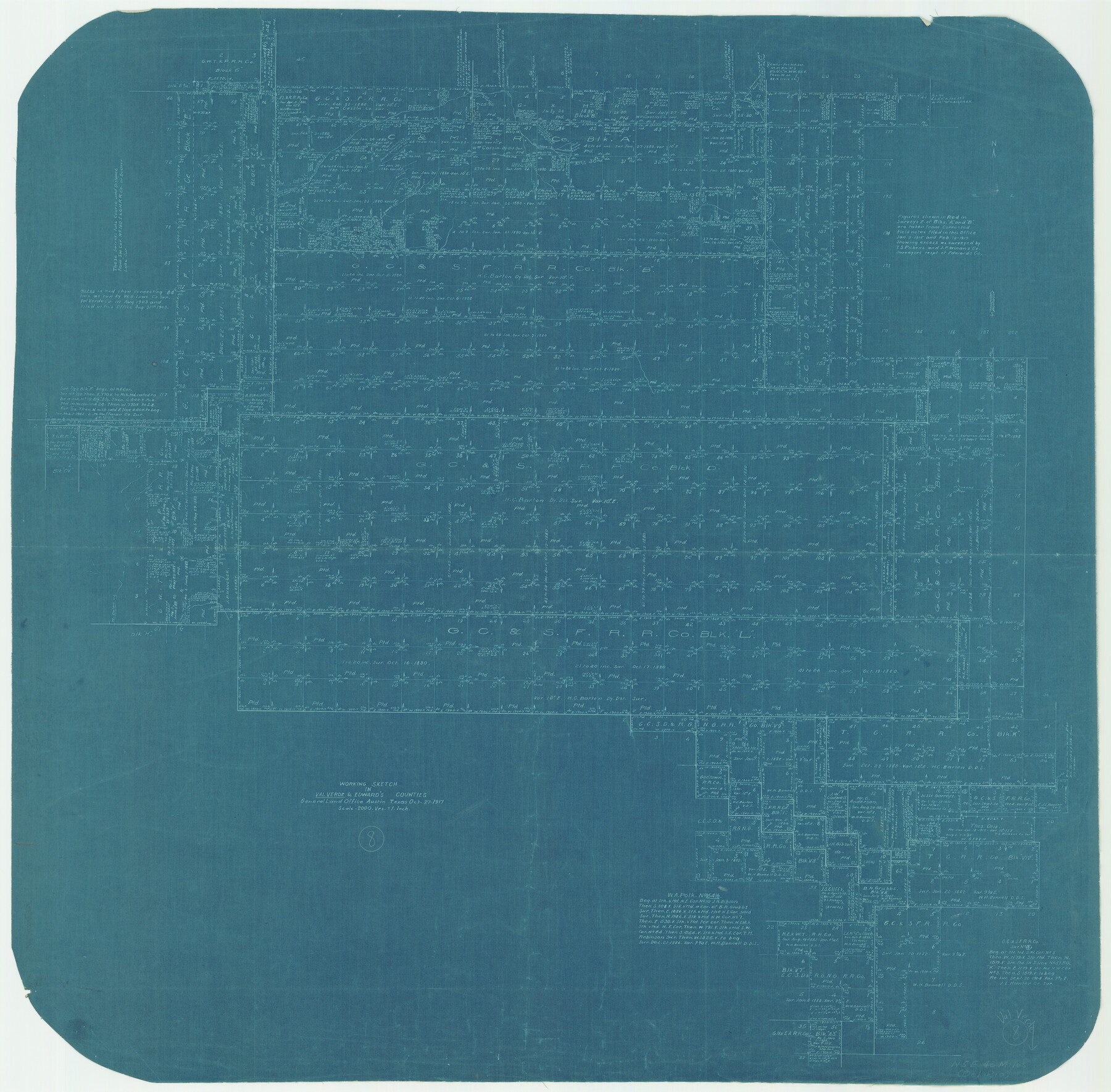
Val Verde County Working Sketch 8
-
Map/Doc
72143
-
Collection
General Map Collection
-
Object Dates
10/27/1917 (Creation Date)
-
Counties
Val Verde Edwards
-
Subjects
Surveying Working Sketch
-
Height x Width
31.4 x 32.0 inches
79.8 x 81.3 cm
-
Scale
1" = 2000 varas
Part of: General Map Collection
Eastland County Working Sketch 36

Print $20.00
- Digital $50.00
Eastland County Working Sketch 36
1963
Size 24.0 x 40.0 inches
Map/Doc 68817
Right of Way and Track Map, Houston & Texas Central R.R. operated by the T. and N. O. R.R., Fort Worth Branch

Print $40.00
- Digital $50.00
Right of Way and Track Map, Houston & Texas Central R.R. operated by the T. and N. O. R.R., Fort Worth Branch
1918
Size 31.8 x 57.1 inches
Map/Doc 64781
Stonewall County Rolled Sketch 27

Print $20.00
- Digital $50.00
Stonewall County Rolled Sketch 27
Size 31.0 x 44.2 inches
Map/Doc 9966
Flight Mission No. CRE-1R, Frame 133, Jackson County

Print $20.00
- Digital $50.00
Flight Mission No. CRE-1R, Frame 133, Jackson County
1956
Size 16.2 x 16.2 inches
Map/Doc 85341
DeWitt County

Print $40.00
- Digital $50.00
DeWitt County
1987
Size 42.6 x 53.2 inches
Map/Doc 73131
The Range and Ranch Cattle Area of the United States

Print $20.00
- Digital $50.00
The Range and Ranch Cattle Area of the United States
1884
Size 26.4 x 27.2 inches
Map/Doc 94077
Aransas Pass to Baffin Bay

Print $20.00
- Digital $50.00
Aransas Pass to Baffin Bay
1922
Size 18.5 x 27.2 inches
Map/Doc 73408
Flight Mission No. CUG-1P, Frame 20, Kleberg County

Print $20.00
- Digital $50.00
Flight Mission No. CUG-1P, Frame 20, Kleberg County
1956
Size 18.6 x 22.4 inches
Map/Doc 86110
Presidio County Working Sketch 75

Print $20.00
- Digital $50.00
Presidio County Working Sketch 75
1962
Size 36.3 x 32.4 inches
Map/Doc 71752
Chambers County Sketch File X

Print $4.00
- Digital $50.00
Chambers County Sketch File X
1936
Size 11.1 x 8.7 inches
Map/Doc 17598
Frio County Rolled Sketch 18

Print $20.00
- Digital $50.00
Frio County Rolled Sketch 18
1955
Size 41.2 x 43.4 inches
Map/Doc 8908
Coast of Texas from head of East Bay Galveston Harbor to Sabine Pass

Print $40.00
- Digital $50.00
Coast of Texas from head of East Bay Galveston Harbor to Sabine Pass
1882
Size 32.3 x 53.9 inches
Map/Doc 69840
You may also like
Kimble County Sketch File 41

Print $10.00
- Digital $50.00
Kimble County Sketch File 41
1994
Size 11.2 x 8.7 inches
Map/Doc 29010
Floyd County Working Sketch 10

Print $20.00
- Digital $50.00
Floyd County Working Sketch 10
1916
Size 15.4 x 27.3 inches
Map/Doc 69189
Cottle County Working Sketch 12

Print $20.00
- Digital $50.00
Cottle County Working Sketch 12
1959
Size 39.1 x 25.7 inches
Map/Doc 68322
Corpus Christi Bay

Print $20.00
- Digital $50.00
Corpus Christi Bay
1971
Size 36.4 x 47.4 inches
Map/Doc 73472
[Block C-41, Section 37, Dawson County, Texas]
![92629, [Block C-41, Section 37, Dawson County, Texas], Twichell Survey Records](https://historictexasmaps.com/wmedia_w700/maps/92629-1.tif.jpg)
Print $20.00
- Digital $50.00
[Block C-41, Section 37, Dawson County, Texas]
1950
Size 14.3 x 12.6 inches
Map/Doc 92629
Martin County Working Sketch 13

Print $40.00
- Digital $50.00
Martin County Working Sketch 13
1971
Size 50.8 x 37.5 inches
Map/Doc 70831
Wilson County Sketch File 4

Print $28.00
- Digital $50.00
Wilson County Sketch File 4
1851
Size 8.4 x 7.7 inches
Map/Doc 40404
Brewster County Sketch File 45

Print $2.00
- Digital $50.00
Brewster County Sketch File 45
Size 10.7 x 8.2 inches
Map/Doc 16312
Archer County Sketch File 31

Print $8.00
- Digital $50.00
Archer County Sketch File 31
2012
Size 11.0 x 8.5 inches
Map/Doc 93322
General Highway Map, Kaufman County, Texas

Print $20.00
General Highway Map, Kaufman County, Texas
1961
Size 24.9 x 18.1 inches
Map/Doc 79548
English Field Notes of the Spanish Archives - Book 9

English Field Notes of the Spanish Archives - Book 9
1835
Map/Doc 96535
Flight Mission No. DAG-23K, Frame 165, Matagorda County

Print $20.00
- Digital $50.00
Flight Mission No. DAG-23K, Frame 165, Matagorda County
1953
Size 17.0 x 19.0 inches
Map/Doc 86503