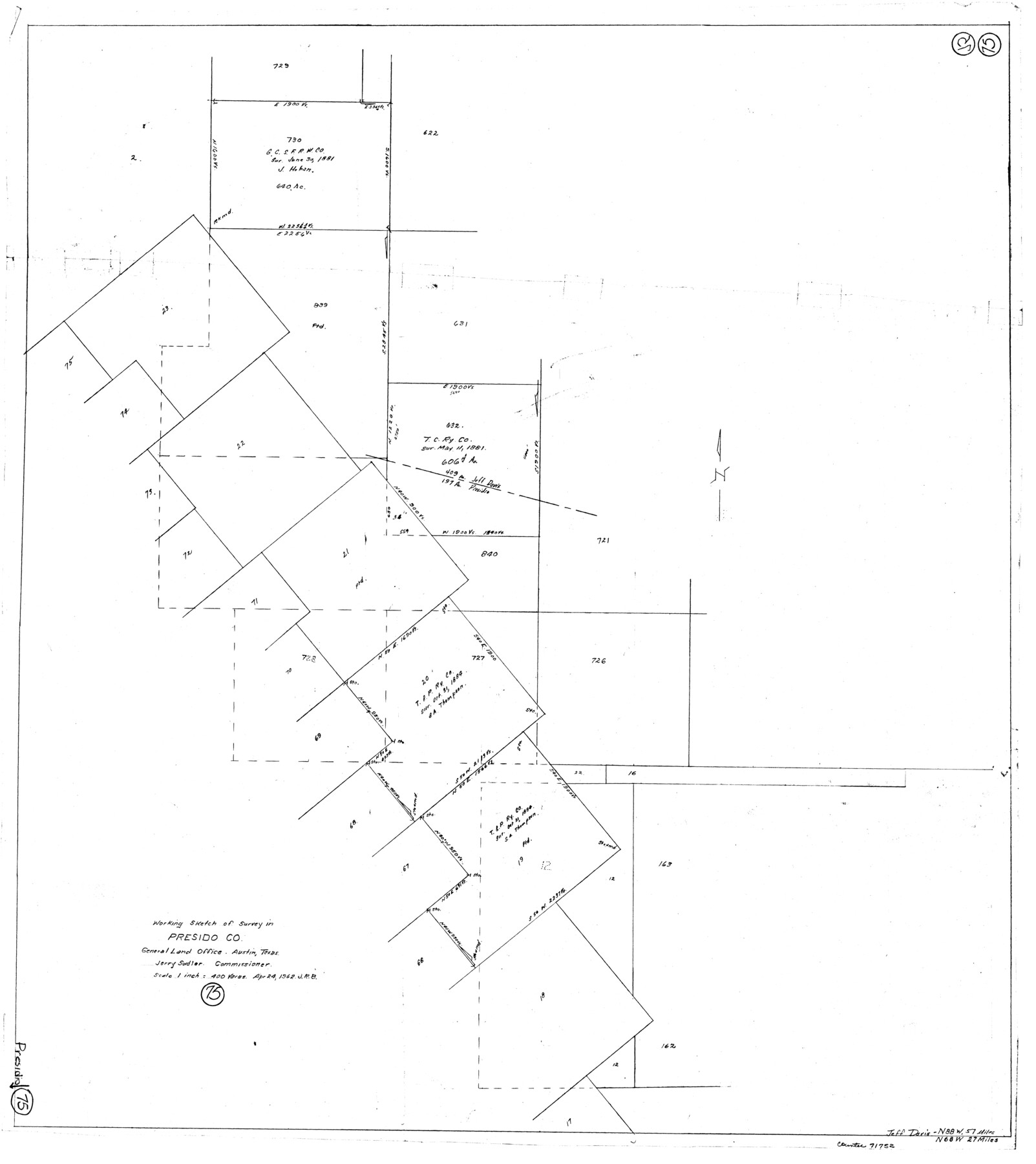
Presidio County Working Sketch 75
-
Map/Doc
71752
-
Collection
General Map Collection
-
Object Dates
4/24/1962 (Creation Date)
-
Counties
Presidio
-
Subjects
Surveying Working Sketch
-
Height x Width
36.3 x 32.4 inches
92.2 x 82.3 cm
-
Scale
1" = 400 varas
Part of: General Map Collection
Kinney County Rolled Sketch 19

Print $20.00
- Digital $50.00
Kinney County Rolled Sketch 19
1978
Size 20.7 x 16.8 inches
Map/Doc 6546
Flight Mission No. DQN-2K, Frame 79, Calhoun County

Print $20.00
- Digital $50.00
Flight Mission No. DQN-2K, Frame 79, Calhoun County
1953
Size 16.0 x 16.0 inches
Map/Doc 84271
Maps & Lists Showing Prison Lands (Oil & Gas) Leased as of June 1955

Digital $50.00
Maps & Lists Showing Prison Lands (Oil & Gas) Leased as of June 1955
Size 11.4 x 7.0 inches
Map/Doc 62864
Upton County Rolled Sketch 28

Print $20.00
- Digital $50.00
Upton County Rolled Sketch 28
Size 19.6 x 27.5 inches
Map/Doc 8075
Hudspeth County Rolled Sketch 76

Print $40.00
- Digital $50.00
Hudspeth County Rolled Sketch 76
1992
Size 49.5 x 37.7 inches
Map/Doc 9239
Aransas County Rolled Sketch 19A

Print $20.00
- Digital $50.00
Aransas County Rolled Sketch 19A
1979
Size 32.0 x 24.8 inches
Map/Doc 76068
Galveston County Rolled Sketch 34D

Print $71.00
- Digital $50.00
Galveston County Rolled Sketch 34D
1981
Size 9.9 x 15.1 inches
Map/Doc 45171

Edwards County Sketch File 31

Print $6.00
- Digital $50.00
Edwards County Sketch File 31
1926
Size 14.5 x 8.8 inches
Map/Doc 21762
Culberson County Sketch File 37

Print $20.00
- Digital $50.00
Culberson County Sketch File 37
1961
Size 24.8 x 18.5 inches
Map/Doc 11273
San Augustine County Working Sketch 2

Print $20.00
- Digital $50.00
San Augustine County Working Sketch 2
Size 28.5 x 19.1 inches
Map/Doc 63689
Brazoria County Sketch File 35

Print $40.00
- Digital $50.00
Brazoria County Sketch File 35
Size 15.5 x 18.4 inches
Map/Doc 10958
You may also like
[Yates, just south of Runnels County School Land]
![91653, [Yates, just south of Runnels County School Land], Twichell Survey Records](https://historictexasmaps.com/wmedia_w700/maps/91653-1.tif.jpg)
Print $20.00
- Digital $50.00
[Yates, just south of Runnels County School Land]
1928
Size 17.7 x 22.7 inches
Map/Doc 91653
Maps of Gulf Intracoastal Waterway, Texas - Sabine River to the Rio Grande and connecting waterways including ship channels

Print $20.00
- Digital $50.00
Maps of Gulf Intracoastal Waterway, Texas - Sabine River to the Rio Grande and connecting waterways including ship channels
1966
Size 14.5 x 22.3 inches
Map/Doc 61977
Taylor County Sketch File 14

Print $6.00
- Digital $50.00
Taylor County Sketch File 14
1881
Size 12.9 x 8.5 inches
Map/Doc 37802
Brown County Working Sketch Graphic Index

Print $20.00
- Digital $50.00
Brown County Working Sketch Graphic Index
1944
Size 47.6 x 37.1 inches
Map/Doc 76480
Presidio County Rolled Sketch 53

Print $20.00
- Digital $50.00
Presidio County Rolled Sketch 53
1911
Size 23.9 x 18.2 inches
Map/Doc 7347
Pecos County Sketch File 28a

Print $14.00
- Digital $50.00
Pecos County Sketch File 28a
1911
Size 14.5 x 8.9 inches
Map/Doc 33683
San Saba County

Print $20.00
- Digital $50.00
San Saba County
1987
Size 46.3 x 42.5 inches
Map/Doc 73284
Hood County Working Sketch 5

Print $20.00
- Digital $50.00
Hood County Working Sketch 5
1968
Size 20.7 x 29.1 inches
Map/Doc 66199
Bosque County, Milam District

Print $20.00
- Digital $50.00
Bosque County, Milam District
1876
Size 24.0 x 29.1 inches
Map/Doc 1519
Flight Mission No. DQN-4K, Frame 7, Calhoun County

Print $20.00
- Digital $50.00
Flight Mission No. DQN-4K, Frame 7, Calhoun County
1953
Size 18.5 x 22.2 inches
Map/Doc 84372
Hudspeth County Sketch File 11

Print $14.00
- Digital $50.00
Hudspeth County Sketch File 11
Size 14.5 x 8.9 inches
Map/Doc 26903
Sabine County Sketch File 6b

Print $4.00
Sabine County Sketch File 6b
1879
Size 8.1 x 9.0 inches
Map/Doc 35617