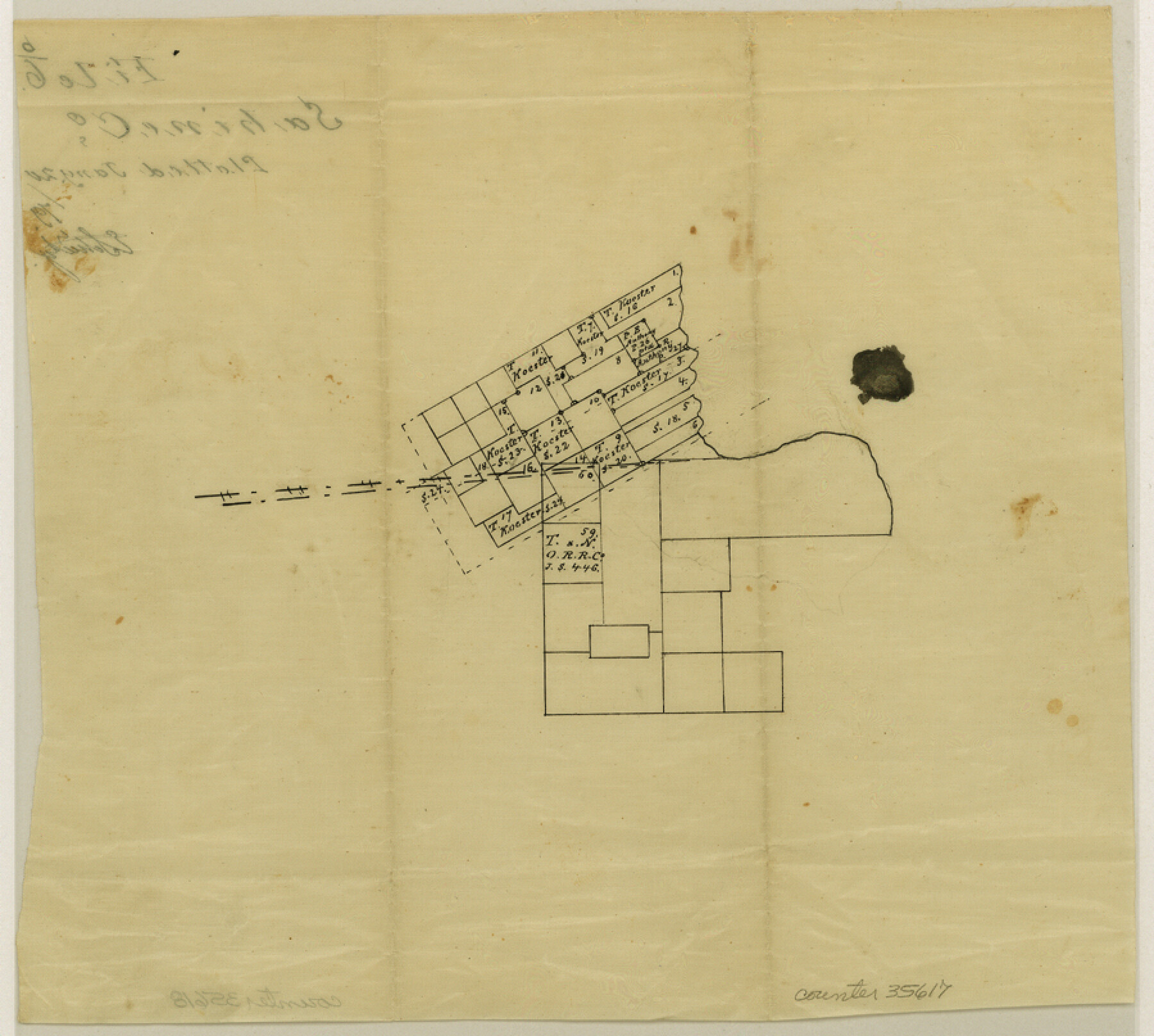
Sabine County Sketch File 6b
[Office sketch of area on the Sabine River in the southeast corner of Sabine County and northeast corner of Newton County]
-
Map/Doc
35617
-
Collection
General Map Collection
-
Object Dates
1/20/1879 (Creation Date)
-
People and Organizations
E. Schutze (Draftsman)
-
Counties
Sabine Newton
-
Subjects
Surveying Sketch File
-
Height x Width
8.1 x 9.0 inches
20.6 x 22.9 cm
-
Medium
paper, manuscript
Part of: General Map Collection
Hardin County Sketch File 71e

Print $20.00
- Digital $50.00
Hardin County Sketch File 71e
Size 25.2 x 37.1 inches
Map/Doc 11642
Map of the River Sabine shewing that portion of the Boundary between the Republic of Texas and the United States included between Logan's Ferry and the Intersection of the 32nd degree of N. Latitude with the Western bank of Sabine River

Print $20.00
- Digital $50.00
Map of the River Sabine shewing that portion of the Boundary between the Republic of Texas and the United States included between Logan's Ferry and the Intersection of the 32nd degree of N. Latitude with the Western bank of Sabine River
1842
Size 19.2 x 27.3 inches
Map/Doc 65410
Gulf of Mexico

Print $20.00
- Digital $50.00
Gulf of Mexico
1946
Size 36.2 x 43.7 inches
Map/Doc 73550
[Sketch for Mineral Application 26649-26650 - Sabine River, Harry A. Wolan]
![65566, [Sketch for Mineral Application 26649-26650 - Sabine River, Harry A. Wolan], General Map Collection](https://historictexasmaps.com/wmedia_w700/maps/65566.tif.jpg)
Print $40.00
- Digital $50.00
[Sketch for Mineral Application 26649-26650 - Sabine River, Harry A. Wolan]
Size 72.0 x 36.9 inches
Map/Doc 65566
Mitchell County Working Sketch 1

Print $20.00
- Digital $50.00
Mitchell County Working Sketch 1
1905
Size 24.2 x 20.7 inches
Map/Doc 71058
Arroyo Colorado, La Feria Sheet

Print $40.00
- Digital $50.00
Arroyo Colorado, La Feria Sheet
1929
Size 24.6 x 58.5 inches
Map/Doc 65128
Pecan Bayou Travis District

Print $20.00
- Digital $50.00
Pecan Bayou Travis District
1852
Size 25.8 x 20.5 inches
Map/Doc 4518
Matagorda Bay and Approaches

Print $20.00
- Digital $50.00
Matagorda Bay and Approaches
1965
Size 34.8 x 44.9 inches
Map/Doc 73383
Ellis County Sketch File 23

Print $4.00
- Digital $50.00
Ellis County Sketch File 23
1873
Size 10.3 x 8.3 inches
Map/Doc 21881
[Jack District]
![16828, [Jack District], General Map Collection](https://historictexasmaps.com/wmedia_w700/maps/16828.tif.jpg)
Print $40.00
- Digital $50.00
[Jack District]
1876
Size 50.0 x 76.4 inches
Map/Doc 16828
Galveston Bay and Approaches

Print $20.00
- Digital $50.00
Galveston Bay and Approaches
1924
Size 45.5 x 34.0 inches
Map/Doc 69873
Flight Mission No. BQR-3K, Frame 163, Brazoria County

Print $20.00
- Digital $50.00
Flight Mission No. BQR-3K, Frame 163, Brazoria County
1952
Size 18.7 x 22.3 inches
Map/Doc 83990
You may also like
Swisher County Working Sketch 2

Print $20.00
- Digital $50.00
Swisher County Working Sketch 2
1950
Size 21.5 x 21.7 inches
Map/Doc 62413
Aransas County Rolled Sketch 21

Print $20.00
- Digital $50.00
Aransas County Rolled Sketch 21
Size 43.0 x 43.8 inches
Map/Doc 8415
General Highway Map, Calhoun County, Texas

Print $20.00
General Highway Map, Calhoun County, Texas
1961
Size 18.3 x 24.4 inches
Map/Doc 79395
Lavaca County Working Sketch 11

Print $20.00
- Digital $50.00
Lavaca County Working Sketch 11
1954
Size 34.0 x 28.3 inches
Map/Doc 70364
Brewster County Rolled Sketch 19

Print $20.00
- Digital $50.00
Brewster County Rolled Sketch 19
Size 25.4 x 25.1 inches
Map/Doc 5198
Nueces County Sketch File 26 1/2

Print $20.00
- Digital $50.00
Nueces County Sketch File 26 1/2
1902
Size 18.4 x 23.0 inches
Map/Doc 42186
[H. & T. C. RR. Company, Block 47, Map C]
![91247, [H. & T. C. RR. Company, Block 47, Map C], Twichell Survey Records](https://historictexasmaps.com/wmedia_w700/maps/91247-1.tif.jpg)
Print $20.00
- Digital $50.00
[H. & T. C. RR. Company, Block 47, Map C]
Size 32.6 x 19.9 inches
Map/Doc 91247
Marion County Working Sketch 15

Print $20.00
- Digital $50.00
Marion County Working Sketch 15
1954
Size 37.3 x 28.8 inches
Map/Doc 70791
Map of Crockett Co.

Print $20.00
- Digital $50.00
Map of Crockett Co.
1901
Size 31.7 x 42.4 inches
Map/Doc 1475
Map of the Interior of Louisiana with a part of New Mexico

Print $20.00
Map of the Interior of Louisiana with a part of New Mexico
1811
Size 11.1 x 14.2 inches
Map/Doc 94269
Mapa original de Texas por el Ciudadano Estevan F. Austin Presentado al Excmo. Sr. Presidente, por su Autor

Mapa original de Texas por el Ciudadano Estevan F. Austin Presentado al Excmo. Sr. Presidente, por su Autor
1830
Size 31.6 x 25.4 inches
Map/Doc 94562
Flight Mission No. DAG-24K, Frame 151, Matagorda County

Print $20.00
- Digital $50.00
Flight Mission No. DAG-24K, Frame 151, Matagorda County
1953
Size 18.5 x 22.1 inches
Map/Doc 86565