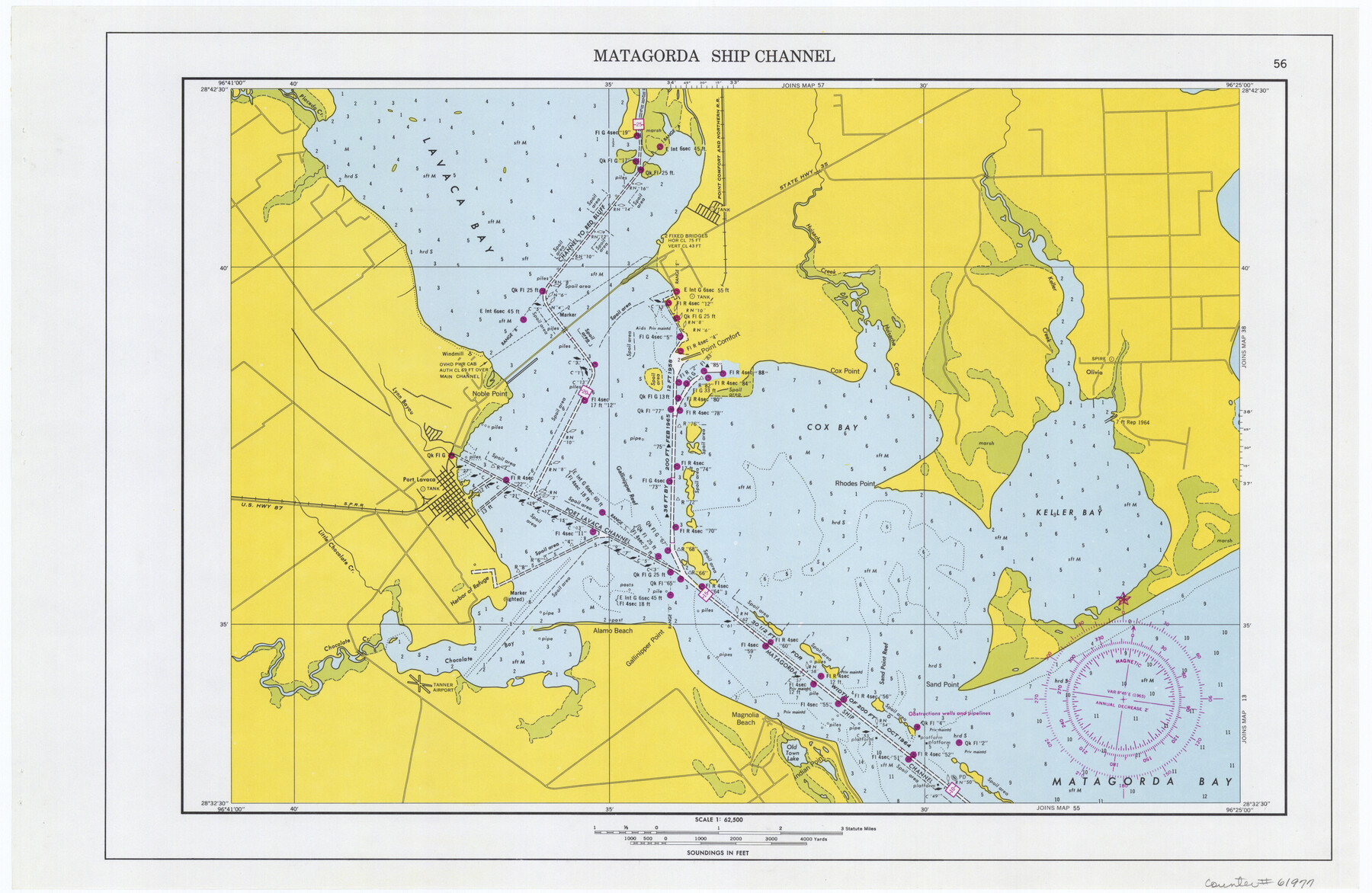
Maps of Gulf Intracoastal Waterway, Texas - Sabine River to the Rio Grande and connecting waterways including ship channels
-
Map/Doc
61977
-
Collection
General Map Collection
-
Object Dates
1966 (Creation Date)
-
Subjects
Intracoastal Waterways
-
Height x Width
14.5 x 22.3 inches
36.8 x 56.6 cm
Part of: General Map Collection
Hutchinson County Sketch File 10

Print $40.00
- Digital $50.00
Hutchinson County Sketch File 10
Size 55.8 x 9.2 inches
Map/Doc 10500
Travis County Working Sketch 50

Print $20.00
- Digital $50.00
Travis County Working Sketch 50
1984
Size 37.8 x 29.0 inches
Map/Doc 69434
Harris County Historic Topographic 9

Print $20.00
- Digital $50.00
Harris County Historic Topographic 9
1916
Size 14.6 x 24.0 inches
Map/Doc 65819
Flight Mission No. DCL-7C, Frame 124, Kenedy County

Print $20.00
- Digital $50.00
Flight Mission No. DCL-7C, Frame 124, Kenedy County
1943
Size 18.6 x 22.2 inches
Map/Doc 86089
Presidio County Working Sketch 94

Print $20.00
- Digital $50.00
Presidio County Working Sketch 94
1976
Size 40.6 x 32.1 inches
Map/Doc 71771
Milam County Working Sketch 14

Print $20.00
- Digital $50.00
Milam County Working Sketch 14
1904
Size 28.2 x 16.7 inches
Map/Doc 71029
Val Verde County Sketch File Z7

Print $20.00
- Digital $50.00
Val Verde County Sketch File Z7
Size 25.6 x 17.2 inches
Map/Doc 12552
Pecos County Working Sketch 131

Print $20.00
- Digital $50.00
Pecos County Working Sketch 131
1977
Size 27.8 x 21.1 inches
Map/Doc 71605
Hood County Boundary File 40

Print $44.00
- Digital $50.00
Hood County Boundary File 40
Size 14.4 x 8.8 inches
Map/Doc 55019
Nueces County NRC Article 33.136 Location Key Sheet

Print $20.00
- Digital $50.00
Nueces County NRC Article 33.136 Location Key Sheet
1975
Size 27.5 x 23.0 inches
Map/Doc 88589
Cass County Rolled Sketch 5B

Print $20.00
- Digital $50.00
Cass County Rolled Sketch 5B
1949
Size 23.5 x 16.4 inches
Map/Doc 5412
Donley County Sketch File 9

Print $4.00
- Digital $50.00
Donley County Sketch File 9
1884
Size 6.6 x 7.7 inches
Map/Doc 21238
You may also like
Crockett County Sketch File 33

Print $30.00
- Digital $50.00
Crockett County Sketch File 33
1883
Size 13.0 x 8.2 inches
Map/Doc 19731
Orange County Working Sketch 40

Print $20.00
- Digital $50.00
Orange County Working Sketch 40
1979
Size 19.2 x 12.1 inches
Map/Doc 71372
Flight Mission No. BRA-3M, Frame 129, Jefferson County

Print $20.00
- Digital $50.00
Flight Mission No. BRA-3M, Frame 129, Jefferson County
1953
Size 18.5 x 22.3 inches
Map/Doc 85403
Bandera County Working Sketch 12

Print $20.00
- Digital $50.00
Bandera County Working Sketch 12
Size 34.0 x 36.9 inches
Map/Doc 67605
Flight Mission No. CGI-3N, Frame 161, Cameron County

Print $20.00
- Digital $50.00
Flight Mission No. CGI-3N, Frame 161, Cameron County
1954
Size 18.7 x 22.4 inches
Map/Doc 84625
Flight Mission No. CRC-3R, Frame 98, Chambers County

Print $20.00
- Digital $50.00
Flight Mission No. CRC-3R, Frame 98, Chambers County
1956
Size 18.7 x 22.5 inches
Map/Doc 84836
Knox County Rolled Sketch 14

Print $40.00
- Digital $50.00
Knox County Rolled Sketch 14
1892
Size 21.8 x 54.9 inches
Map/Doc 10666
Eastland County Working Sketch 9

Print $20.00
- Digital $50.00
Eastland County Working Sketch 9
1919
Size 33.0 x 30.6 inches
Map/Doc 68790
Hudspeth County Rolled Sketch 43A

Print $3.00
- Digital $50.00
Hudspeth County Rolled Sketch 43A
1958
Size 10.7 x 8.8 inches
Map/Doc 6252
Current Miscellaneous File 20

Print $22.00
- Digital $50.00
Current Miscellaneous File 20
1952
Size 10.7 x 8.1 inches
Map/Doc 73855
Mason County Rolled Sketch 4

Print $20.00
- Digital $50.00
Mason County Rolled Sketch 4
1983
Size 23.3 x 26.9 inches
Map/Doc 6677
Tarrant County Boundary File 4 and 4a

Print $6.00
- Digital $50.00
Tarrant County Boundary File 4 and 4a
Size 11.5 x 9.0 inches
Map/Doc 59151