243 results

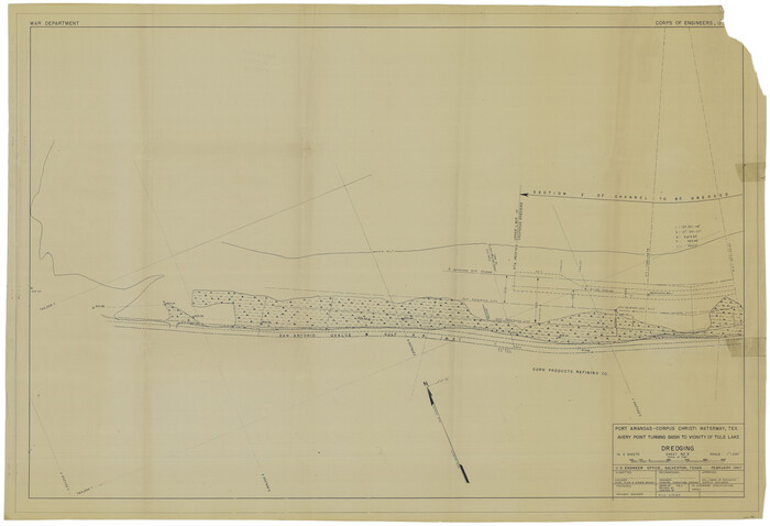
Port Aransas-Corpus Christi Waterway, Texas, Avery Point Turning Basin to Vicinity of Tule Lake - Dredging
1996.tif
Print $20.00 - Digital $50.00

Port Aransas-Corpus Christi Waterway, Texas, Avery Point Turning Basin to Vicinity of Tule Lake - Dredging

1947
Size: 28.6 x 41.8 inches
1996
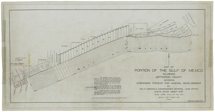
Map of Portion of the Gulf of Mexico Adjoining Jefferson County Showing Subdivision Thereof for Mineral Development
3020.tif
Print $20.00 - Digital $50.00

Map of Portion of the Gulf of Mexico Adjoining Jefferson County Showing Subdivision Thereof for Mineral Development

1937

Size: 20.5 x 39.0 inches
3020
Sketch of the Designation of Route of the Aransas Channel Harbor & Dock Company's Deep Water Channel
4495-1.tif
Print $3.00 - Digital $50.00

Sketch of the Designation of Route of the Aransas Channel Harbor & Dock Company's Deep Water Channel

Size: 13.2 x 10.0 inches
4495
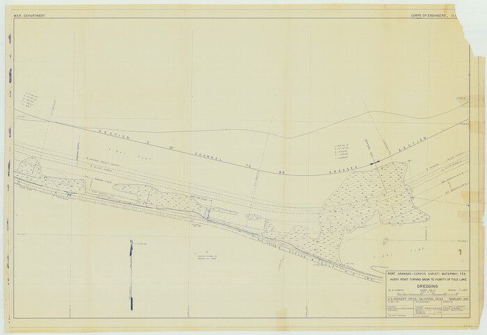
Port Aransas-Corpus Christi Waterway, Texas, Avery Point Turning Basin to Vicinity of Tule Lake - Dredging
60301.tif
Print $20.00 - Digital $50.00

Port Aransas-Corpus Christi Waterway, Texas, Avery Point Turning Basin to Vicinity of Tule Lake - Dredging

1947

Size: 28.5 x 41.4 inches
60301
Port Aransas-Corpus Christi Waterway, Texas, Avery Point Turning Basin to Vicinity of Tule Lake - Dredging
60302.tif
Print $20.00 - Digital $50.00

Port Aransas-Corpus Christi Waterway, Texas, Avery Point Turning Basin to Vicinity of Tule Lake - Dredging

1947
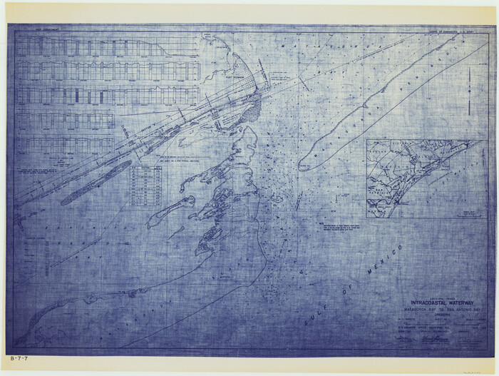
Size: 28.4 x 41.4 inches
60302
Louisiana and Texas Intracoastal Waterway - Matagorda Bay to San Antonio Bay Dredging - Sheet 1
61814.tif
Print $20.00 - Digital $50.00

Louisiana and Texas Intracoastal Waterway - Matagorda Bay to San Antonio Bay Dredging - Sheet 1

1938

Size: 31.1 x 41.3 inches
61814
Louisiana and Texas Intracoastal Waterway - Matagorda Bay to San Antonio Bay Dredging - Sheet 2
61815.tif
Print $20.00 - Digital $50.00

Louisiana and Texas Intracoastal Waterway - Matagorda Bay to San Antonio Bay Dredging - Sheet 2

1938

Size: 31.0 x 41.2 inches
61815
Louisiana and Texas Intracoastal Waterway - Dredging from Freeport Harbor to Caney Creek - Sheet 2
61817.tif
Print $20.00 - Digital $50.00

Louisiana and Texas Intracoastal Waterway - Dredging from Freeport Harbor to Caney Creek - Sheet 2

1940
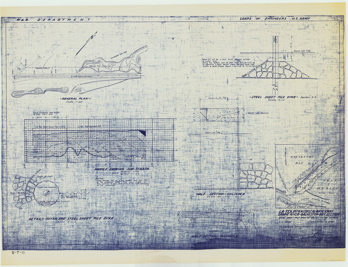
Size: 31.2 x 41.3 inches
61817
Louisiana and Texas Intracoastal Waterway - Sabine River-Galveston Bay Section, Steel Sheet Pile Dyke at Galveston Bay Entrance
61818.tif
Print $20.00 - Digital $50.00

Louisiana and Texas Intracoastal Waterway - Sabine River-Galveston Bay Section, Steel Sheet Pile Dyke at Galveston Bay Entrance

1933
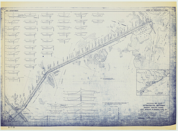
Size: 31.4 x 40.9 inches
61818
Louisiana and Texas Intracoastal Waterway - Dredging Tributary Channel, Port Aransas to Aransas Pass, Texas
61820.tif
Print $20.00 - Digital $50.00

Louisiana and Texas Intracoastal Waterway - Dredging Tributary Channel, Port Aransas to Aransas Pass, Texas

1940
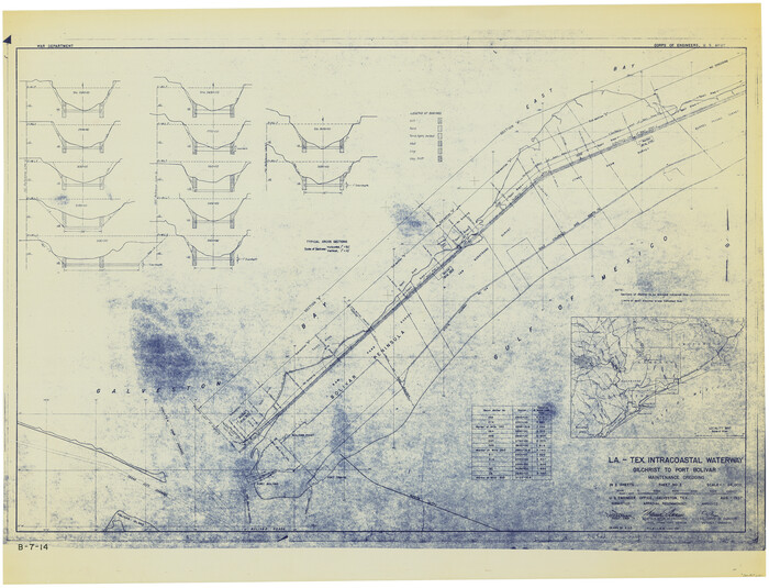
Size: 31.1 x 42.3 inches
61820
Louisiana and Texas Intracoastal Waterway - Gilchrist to Port Bolivar, Maintenance Dredging - Sheet 2
61821.tif
Print $20.00 - Digital $50.00

Louisiana and Texas Intracoastal Waterway - Gilchrist to Port Bolivar, Maintenance Dredging - Sheet 2

1937

Size: 31.0 x 40.8 inches
61821
Louisiana and Texas Intracoastal Waterway - Entrance near Port O'Connor, Texas, Survey of September, 1940
61822.tif
Print $20.00 - Digital $50.00

Louisiana and Texas Intracoastal Waterway - Entrance near Port O'Connor, Texas, Survey of September, 1940

1940
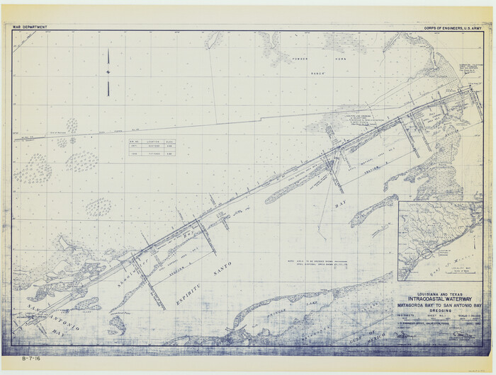
Size: 31.2 x 41.5 inches
61822
Louisiana and Texas Intracoastal Waterway - Matagorda Bay to San Antonio Bay Dredging - Sheet 1
61823.tif
Print $20.00 - Digital $50.00

Louisiana and Texas Intracoastal Waterway - Matagorda Bay to San Antonio Bay Dredging - Sheet 1

1942
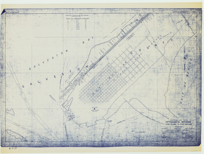
Size: 31.2 x 41.2 inches
61823
Louisiana and Texas Intracoastal Waterway - High Island to Port Bolivar Dredging - Sheet 5
61824.tif
Print $20.00 - Digital $50.00

Louisiana and Texas Intracoastal Waterway - High Island to Port Bolivar Dredging - Sheet 5

1943
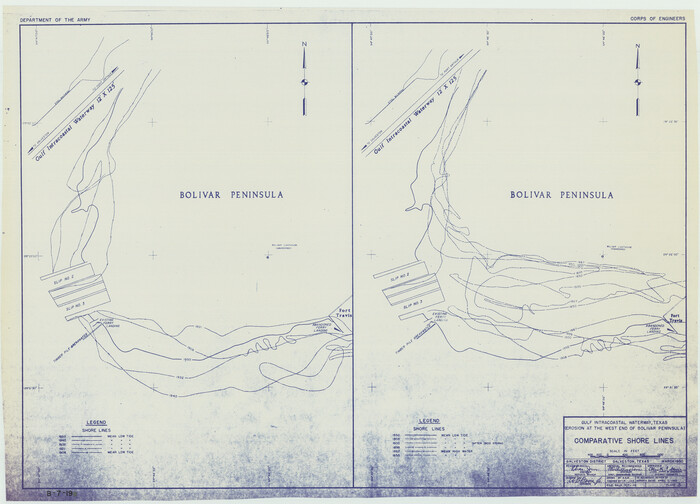
Size: 31.4 x 41.8 inches
61824
Gulf Intracoastal Waterway - Texas Erosion at the West End of Bolivar Peninsula Comparative Shorelines
61826.tif
Print $20.00 - Digital $50.00

Gulf Intracoastal Waterway - Texas Erosion at the West End of Bolivar Peninsula Comparative Shorelines

1950

Size: 29.0 x 40.3 inches
61826
Gulf Intracoastal Waterway - Tributary Channel to Aransas Pass, Location of Spoil Disposal Areas
61828.tif
Print $20.00 - Digital $50.00

Gulf Intracoastal Waterway - Tributary Channel to Aransas Pass, Location of Spoil Disposal Areas

1961
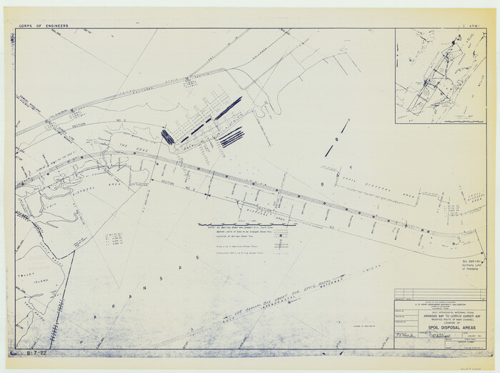
Size: 31.5 x 41.9 inches
61828
Gulf Intracoastal Waterway - Aransas Bay to Corpus Christi Bay, Modified Route of Main Channel Location of Spoil Disposal Areas
61829.tif
Print $20.00 - Digital $50.00

Gulf Intracoastal Waterway - Aransas Bay to Corpus Christi Bay, Modified Route of Main Channel Location of Spoil Disposal Areas

1961

Size: 31.4 x 42.1 inches
61829
Gulf Intracoastal Waterway - High Island to Chocolate Bay, Location of Spoil Disposal Areas
61830.tif
Print $20.00 - Digital $50.00

Gulf Intracoastal Waterway - High Island to Chocolate Bay, Location of Spoil Disposal Areas

1961

Size: 31.1 x 40.8 inches
61830
Texas City Channel, Texas, Channel and Turning Basin Dredging - Sheet 1
61831.tif
Print $20.00 - Digital $50.00

Texas City Channel, Texas, Channel and Turning Basin Dredging - Sheet 1

1958

Size: 29.3 x 40.8 inches
61831
Texas City Channel, Texas, Channel and Turning Basin Dredging - Sheet 2
61832.tif
Print $20.00 - Digital $50.00

Texas City Channel, Texas, Channel and Turning Basin Dredging - Sheet 2

1958

Size: 28.6 x 41.0 inches
61832
Texas City Channel, Texas, Channel and Turning Basin Dredging - Sheet 3
61833.tif
Print $20.00 - Digital $50.00

Texas City Channel, Texas, Channel and Turning Basin Dredging - Sheet 3

1958
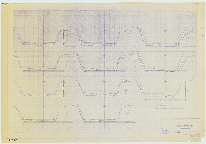
Size: 28.4 x 40.6 inches
61833
Texas City Channel, Texas, Channel and Turning Basin Dredging - Sheet 4
61834.tif
Print $20.00 - Digital $50.00

Texas City Channel, Texas, Channel and Turning Basin Dredging - Sheet 4

1958

Size: 28.5 x 40.9 inches
61834
Texas City Channel, Texas, Channel and Turning Basin Dredging - Sheet 5
61835.tif
Print $20.00 - Digital $50.00

Texas City Channel, Texas, Channel and Turning Basin Dredging - Sheet 5

1958
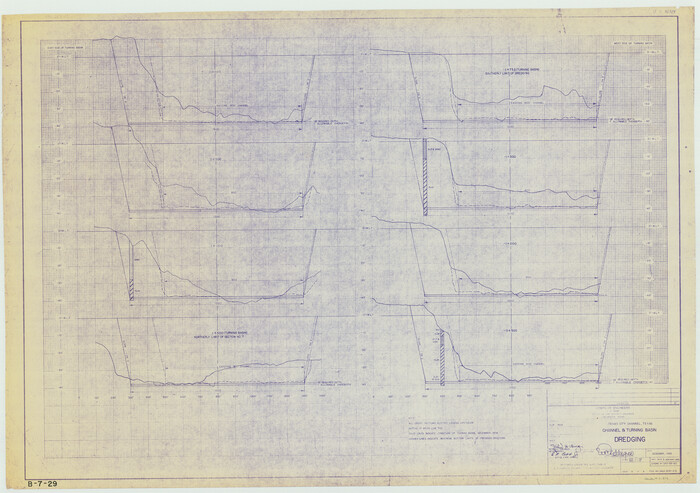
Size: 28.2 x 40.9 inches
61835
Texas City Channel, Texas, Channel and Turning Basin Dredging - Sheet 6
61836.tif
Print $20.00 - Digital $50.00

Texas City Channel, Texas, Channel and Turning Basin Dredging - Sheet 6

1958
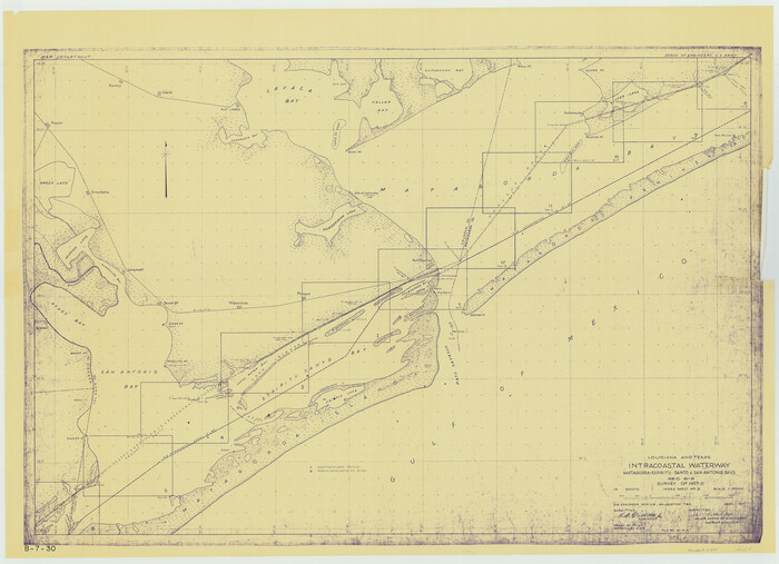
Size: 28.6 x 40.6 inches
61836
Louisiana and Texas Intracoastal Waterway - Matagorda-Espiritu Santo and San Antonio Bays, Section 8-9, Survey of 1927-8 - Index Sheet 3
61837.tif
Print $20.00 - Digital $50.00

Louisiana and Texas Intracoastal Waterway - Matagorda-Espiritu Santo and San Antonio Bays, Section 8-9, Survey of 1927-8 - Index Sheet 3

1929

Size: 31.0 x 42.8 inches
61837
Louisiana and Texas Intracoastal Waterway, Sabine River Galveston Bay Section Survey
61838.tif
Print $20.00 - Digital $50.00

Louisiana and Texas Intracoastal Waterway, Sabine River Galveston Bay Section Survey

1927

Size: 30.7 x 43.0 inches
61838
Louisiana and Texas Intracoastal Waterway, Section 7, Galveston Bay to Brazos River and Section 8, Brazos River to Matagorda Bay
61839.tif
Print $20.00 - Digital $50.00

Louisiana and Texas Intracoastal Waterway, Section 7, Galveston Bay to Brazos River and Section 8, Brazos River to Matagorda Bay

1928

Size: 30.8 x 42.9 inches
61839
Louisiana and Texas Intracoastal Waterway, Section 7, Galveston Bay to Brazos River and Section 8, Brazos River to Matagorda Bay
61840.tif
Print $20.00 - Digital $50.00

Louisiana and Texas Intracoastal Waterway, Section 7, Galveston Bay to Brazos River and Section 8, Brazos River to Matagorda Bay

1928

Size: 30.7 x 42.9 inches
61840
Louisiana and Texas Intracoastal Waterway, Section 7, Galveston Bay to Brazos River and Section 8, Brazos River to Matagorda Bay
61841.tif
Print $20.00 - Digital $50.00

Louisiana and Texas Intracoastal Waterway, Section 7, Galveston Bay to Brazos River and Section 8, Brazos River to Matagorda Bay

1929
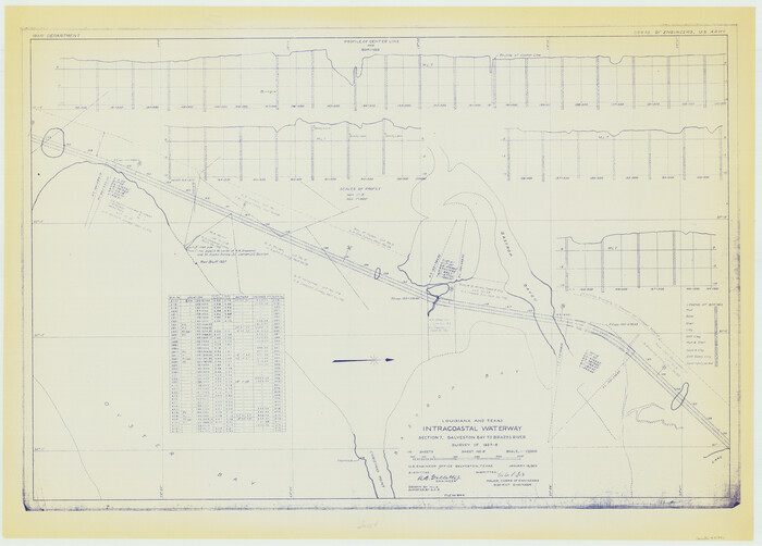
Size: 30.8 x 43.0 inches
61841
Louisiana and Texas Intracoastal Waterway, Section 7, Galveston Bay to Brazos River and Section 8, Brazos River to Matagorda Bay
61842.tif
Print $20.00 - Digital $50.00

Louisiana and Texas Intracoastal Waterway, Section 7, Galveston Bay to Brazos River and Section 8, Brazos River to Matagorda Bay

1929

Size: 30.8 x 43.0 inches
61842
Port Aransas-Corpus Christi Waterway, Texas, Avery Point Turning Basin to Vicinity of Tule Lake - Dredging
1996, Port Aransas-Corpus Christi Waterway, Texas, Avery Point Turning Basin to Vicinity of Tule Lake - Dredging, General Map Collection
Print $20.00 - Digital $50.00

Port Aransas-Corpus Christi Waterway, Texas, Avery Point Turning Basin to Vicinity of Tule Lake - Dredging

1947

  • Size

    28.6 x 41.8 inches

  • Map/Doc

    1996

  • Creation Date

    1947

Map of Portion of the Gulf of Mexico Adjoining Jefferson County Showing Subdivision Thereof for Mineral Development
3020, Map of Portion of the Gulf of Mexico Adjoining Jefferson County Showing Subdivision Thereof for Mineral Development, General Map Collection
Print $20.00 - Digital $50.00

Map of Portion of the Gulf of Mexico Adjoining Jefferson County Showing Subdivision Thereof for Mineral Development

1937

  • Size

    20.5 x 39.0 inches

  • Map/Doc

    3020

  • Creation Date

    1937

Sketch of the Designation of Route of the Aransas Channel Harbor & Dock Company's Deep Water Channel
4495, Sketch of the Designation of Route of the Aransas Channel Harbor & Dock Company's Deep Water Channel, Maddox Collection
Print $3.00 - Digital $50.00

Sketch of the Designation of Route of the Aransas Channel Harbor & Dock Company's Deep Water Channel

  • Size

    13.2 x 10.0 inches

  • Map/Doc

    4495

Port Aransas-Corpus Christi Waterway, Texas, Avery Point Turning Basin to Vicinity of Tule Lake - Dredging
60301, Port Aransas-Corpus Christi Waterway, Texas, Avery Point Turning Basin to Vicinity of Tule Lake - Dredging, General Map Collection
Print $20.00 - Digital $50.00

Port Aransas-Corpus Christi Waterway, Texas, Avery Point Turning Basin to Vicinity of Tule Lake - Dredging

1947

  • Size

    28.5 x 41.4 inches

  • Map/Doc

    60301

  • Creation Date

    1947

Port Aransas-Corpus Christi Waterway, Texas, Avery Point Turning Basin to Vicinity of Tule Lake - Dredging
60302, Port Aransas-Corpus Christi Waterway, Texas, Avery Point Turning Basin to Vicinity of Tule Lake - Dredging, General Map Collection
Print $20.00 - Digital $50.00

Port Aransas-Corpus Christi Waterway, Texas, Avery Point Turning Basin to Vicinity of Tule Lake - Dredging

1947

  • Size

    28.4 x 41.4 inches

  • Map/Doc

    60302

  • Creation Date

    1947

Louisiana and Texas Intracoastal Waterway - Matagorda Bay to San Antonio Bay Dredging - Sheet 1
61814, Louisiana and Texas Intracoastal Waterway - Matagorda Bay to San Antonio Bay Dredging - Sheet 1, General Map Collection
Print $20.00 - Digital $50.00

Louisiana and Texas Intracoastal Waterway - Matagorda Bay to San Antonio Bay Dredging - Sheet 1

1938

  • Size

    31.1 x 41.3 inches

  • Map/Doc

    61814

  • Creation Date

    1938

Louisiana and Texas Intracoastal Waterway - Matagorda Bay to San Antonio Bay Dredging - Sheet 2
61815, Louisiana and Texas Intracoastal Waterway - Matagorda Bay to San Antonio Bay Dredging - Sheet 2, General Map Collection
Print $20.00 - Digital $50.00

Louisiana and Texas Intracoastal Waterway - Matagorda Bay to San Antonio Bay Dredging - Sheet 2

1938

  • Size

    31.0 x 41.2 inches

  • Map/Doc

    61815

  • Creation Date

    1938

Louisiana and Texas Intracoastal Waterway - Dredging from Freeport Harbor to Caney Creek - Sheet 2
61817, Louisiana and Texas Intracoastal Waterway - Dredging from Freeport Harbor to Caney Creek - Sheet 2, General Map Collection
Print $20.00 - Digital $50.00

Louisiana and Texas Intracoastal Waterway - Dredging from Freeport Harbor to Caney Creek - Sheet 2

1940

  • Size

    31.2 x 41.3 inches

  • Map/Doc

    61817

  • Creation Date

    1940

Louisiana and Texas Intracoastal Waterway - Sabine River-Galveston Bay Section, Steel Sheet Pile Dyke at Galveston Bay Entrance
61818, Louisiana and Texas Intracoastal Waterway - Sabine River-Galveston Bay Section, Steel Sheet Pile Dyke at Galveston Bay Entrance, General Map Collection
Print $20.00 - Digital $50.00

Louisiana and Texas Intracoastal Waterway - Sabine River-Galveston Bay Section, Steel Sheet Pile Dyke at Galveston Bay Entrance

1933

  • Size

    31.4 x 40.9 inches

  • Map/Doc

    61818

  • Creation Date

    1933

Louisiana and Texas Intracoastal Waterway - Dredging Tributary Channel, Port Aransas to Aransas Pass, Texas
61820, Louisiana and Texas Intracoastal Waterway - Dredging Tributary Channel, Port Aransas to Aransas Pass, Texas, General Map Collection
Print $20.00 - Digital $50.00

Louisiana and Texas Intracoastal Waterway - Dredging Tributary Channel, Port Aransas to Aransas Pass, Texas

1940

  • Size

    31.1 x 42.3 inches

  • Map/Doc

    61820

  • Creation Date

    1940

Louisiana and Texas Intracoastal Waterway - Gilchrist to Port Bolivar, Maintenance Dredging - Sheet 2
61821, Louisiana and Texas Intracoastal Waterway - Gilchrist to Port Bolivar, Maintenance Dredging - Sheet 2, General Map Collection
Print $20.00 - Digital $50.00

Louisiana and Texas Intracoastal Waterway - Gilchrist to Port Bolivar, Maintenance Dredging - Sheet 2

1937

  • Size

    31.0 x 40.8 inches

  • Map/Doc

    61821

  • Creation Date

    1937

Louisiana and Texas Intracoastal Waterway - Entrance near Port O'Connor, Texas, Survey of September, 1940
61822, Louisiana and Texas Intracoastal Waterway - Entrance near Port O'Connor, Texas, Survey of September, 1940, General Map Collection
Print $20.00 - Digital $50.00

Louisiana and Texas Intracoastal Waterway - Entrance near Port O'Connor, Texas, Survey of September, 1940

1940

  • Size

    31.2 x 41.5 inches

  • Map/Doc

    61822

  • Creation Date

    1940

Louisiana and Texas Intracoastal Waterway - Matagorda Bay to San Antonio Bay Dredging - Sheet 1
61823, Louisiana and Texas Intracoastal Waterway - Matagorda Bay to San Antonio Bay Dredging - Sheet 1, General Map Collection
Print $20.00 - Digital $50.00

Louisiana and Texas Intracoastal Waterway - Matagorda Bay to San Antonio Bay Dredging - Sheet 1

1942

  • Size

    31.2 x 41.2 inches

  • Map/Doc

    61823

  • Creation Date

    1942

Louisiana and Texas Intracoastal Waterway - High Island to Port Bolivar Dredging - Sheet 5
61824, Louisiana and Texas Intracoastal Waterway - High Island to Port Bolivar Dredging - Sheet 5, General Map Collection
Print $20.00 - Digital $50.00

Louisiana and Texas Intracoastal Waterway - High Island to Port Bolivar Dredging - Sheet 5

1943

  • Size

    31.4 x 41.8 inches

  • Map/Doc

    61824

  • Creation Date

    1943

Gulf Intracoastal Waterway - Texas Erosion at the West End of Bolivar Peninsula Comparative Shorelines
61826, Gulf Intracoastal Waterway - Texas Erosion at the West End of Bolivar Peninsula Comparative Shorelines, General Map Collection
Print $20.00 - Digital $50.00

Gulf Intracoastal Waterway - Texas Erosion at the West End of Bolivar Peninsula Comparative Shorelines

1950

  • Size

    29.0 x 40.3 inches

  • Map/Doc

    61826

  • Creation Date

    1950

Gulf Intracoastal Waterway - Tributary Channel to Aransas Pass, Location of Spoil Disposal Areas
61828, Gulf Intracoastal Waterway - Tributary Channel to Aransas Pass, Location of Spoil Disposal Areas, General Map Collection
Print $20.00 - Digital $50.00

Gulf Intracoastal Waterway - Tributary Channel to Aransas Pass, Location of Spoil Disposal Areas

1961

  • Size

    31.5 x 41.9 inches

  • Map/Doc

    61828

  • Creation Date

    1961

Gulf Intracoastal Waterway - Aransas Bay to Corpus Christi Bay, Modified Route of Main Channel Location of Spoil Disposal Areas
61829, Gulf Intracoastal Waterway - Aransas Bay to Corpus Christi Bay, Modified Route of Main Channel Location of Spoil Disposal Areas, General Map Collection
Print $20.00 - Digital $50.00

Gulf Intracoastal Waterway - Aransas Bay to Corpus Christi Bay, Modified Route of Main Channel Location of Spoil Disposal Areas

1961

  • Size

    31.4 x 42.1 inches

  • Map/Doc

    61829

  • Creation Date

    1961

Gulf Intracoastal Waterway - High Island to Chocolate Bay, Location of Spoil Disposal Areas
61830, Gulf Intracoastal Waterway - High Island to Chocolate Bay, Location of Spoil Disposal Areas, General Map Collection
Print $20.00 - Digital $50.00

Gulf Intracoastal Waterway - High Island to Chocolate Bay, Location of Spoil Disposal Areas

1961

  • Size

    31.1 x 40.8 inches

  • Map/Doc

    61830

  • Creation Date

    1961

Texas City Channel, Texas, Channel and Turning Basin Dredging - Sheet 1
61831, Texas City Channel, Texas, Channel and Turning Basin Dredging - Sheet 1, General Map Collection
Print $20.00 - Digital $50.00

Texas City Channel, Texas, Channel and Turning Basin Dredging - Sheet 1

1958

  • Size

    29.3 x 40.8 inches

  • Map/Doc

    61831

  • Creation Date

    1958

Texas City Channel, Texas, Channel and Turning Basin Dredging - Sheet 2
61832, Texas City Channel, Texas, Channel and Turning Basin Dredging - Sheet 2, General Map Collection
Print $20.00 - Digital $50.00

Texas City Channel, Texas, Channel and Turning Basin Dredging - Sheet 2

1958

  • Size

    28.6 x 41.0 inches

  • Map/Doc

    61832

  • Creation Date

    1958

Texas City Channel, Texas, Channel and Turning Basin Dredging - Sheet 3
61833, Texas City Channel, Texas, Channel and Turning Basin Dredging - Sheet 3, General Map Collection
Print $20.00 - Digital $50.00

Texas City Channel, Texas, Channel and Turning Basin Dredging - Sheet 3

1958

  • Size

    28.4 x 40.6 inches

  • Map/Doc

    61833

  • Creation Date

    1958

Texas City Channel, Texas, Channel and Turning Basin Dredging - Sheet 4
61834, Texas City Channel, Texas, Channel and Turning Basin Dredging - Sheet 4, General Map Collection
Print $20.00 - Digital $50.00

Texas City Channel, Texas, Channel and Turning Basin Dredging - Sheet 4

1958

  • Size

    28.5 x 40.9 inches

  • Map/Doc

    61834

  • Creation Date

    1958

Texas City Channel, Texas, Channel and Turning Basin Dredging - Sheet 5
61835, Texas City Channel, Texas, Channel and Turning Basin Dredging - Sheet 5, General Map Collection
Print $20.00 - Digital $50.00

Texas City Channel, Texas, Channel and Turning Basin Dredging - Sheet 5

1958

  • Size

    28.2 x 40.9 inches

  • Map/Doc

    61835

  • Creation Date

    1958

Texas City Channel, Texas, Channel and Turning Basin Dredging - Sheet 6
61836, Texas City Channel, Texas, Channel and Turning Basin Dredging - Sheet 6, General Map Collection
Print $20.00 - Digital $50.00

Texas City Channel, Texas, Channel and Turning Basin Dredging - Sheet 6

1958

  • Size

    28.6 x 40.6 inches

  • Map/Doc

    61836

  • Creation Date

    1958

Louisiana and Texas Intracoastal Waterway - Matagorda-Espiritu Santo and San Antonio Bays, Section 8-9, Survey of 1927-8 - Index Sheet 3
61837, Louisiana and Texas Intracoastal Waterway - Matagorda-Espiritu Santo and San Antonio Bays, Section 8-9, Survey of 1927-8 - Index Sheet 3, General Map Collection
Print $20.00 - Digital $50.00

Louisiana and Texas Intracoastal Waterway - Matagorda-Espiritu Santo and San Antonio Bays, Section 8-9, Survey of 1927-8 - Index Sheet 3

1929

  • Size

    31.0 x 42.8 inches

  • Map/Doc

    61837

  • Creation Date

    1929

Louisiana and Texas Intracoastal Waterway, Sabine River Galveston Bay Section Survey
61838, Louisiana and Texas Intracoastal Waterway, Sabine River Galveston Bay Section Survey, General Map Collection
Print $20.00 - Digital $50.00

Louisiana and Texas Intracoastal Waterway, Sabine River Galveston Bay Section Survey

1927

  • Size

    30.7 x 43.0 inches

  • Map/Doc

    61838

  • Creation Date

    1927

Louisiana and Texas Intracoastal Waterway, Section 7, Galveston Bay to Brazos River and Section 8, Brazos River to Matagorda Bay
61839, Louisiana and Texas Intracoastal Waterway, Section 7, Galveston Bay to Brazos River and Section 8, Brazos River to Matagorda Bay, General Map Collection
Print $20.00 - Digital $50.00

Louisiana and Texas Intracoastal Waterway, Section 7, Galveston Bay to Brazos River and Section 8, Brazos River to Matagorda Bay

1928

  • Size

    30.8 x 42.9 inches

  • Map/Doc

    61839

  • Creation Date

    1928

Louisiana and Texas Intracoastal Waterway, Section 7, Galveston Bay to Brazos River and Section 8, Brazos River to Matagorda Bay
61840, Louisiana and Texas Intracoastal Waterway, Section 7, Galveston Bay to Brazos River and Section 8, Brazos River to Matagorda Bay, General Map Collection
Print $20.00 - Digital $50.00

Louisiana and Texas Intracoastal Waterway, Section 7, Galveston Bay to Brazos River and Section 8, Brazos River to Matagorda Bay

1928

  • Size

    30.7 x 42.9 inches

  • Map/Doc

    61840

  • Creation Date

    1928

Louisiana and Texas Intracoastal Waterway, Section 7, Galveston Bay to Brazos River and Section 8, Brazos River to Matagorda Bay
61841, Louisiana and Texas Intracoastal Waterway, Section 7, Galveston Bay to Brazos River and Section 8, Brazos River to Matagorda Bay, General Map Collection
Print $20.00 - Digital $50.00

Louisiana and Texas Intracoastal Waterway, Section 7, Galveston Bay to Brazos River and Section 8, Brazos River to Matagorda Bay

1929

  • Size

    30.8 x 43.0 inches

  • Map/Doc

    61841

  • Creation Date

    1929

Louisiana and Texas Intracoastal Waterway, Section 7, Galveston Bay to Brazos River and Section 8, Brazos River to Matagorda Bay
61842, Louisiana and Texas Intracoastal Waterway, Section 7, Galveston Bay to Brazos River and Section 8, Brazos River to Matagorda Bay, General Map Collection
Print $20.00 - Digital $50.00

Louisiana and Texas Intracoastal Waterway, Section 7, Galveston Bay to Brazos River and Section 8, Brazos River to Matagorda Bay

1929

  • Size

    30.8 x 43.0 inches

  • Map/Doc

    61842

  • Creation Date

    1929