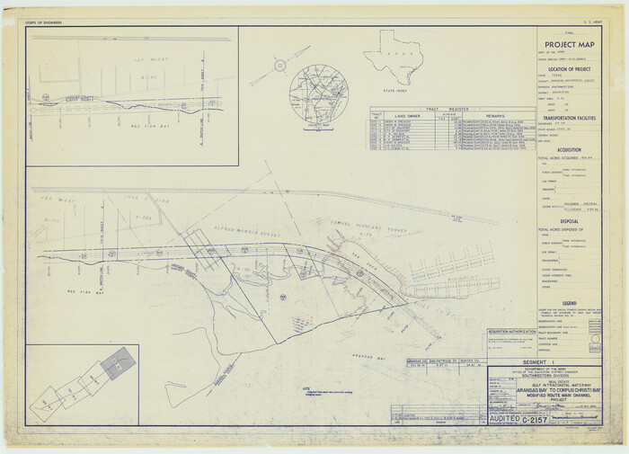
243 results

Brazos Island Harbor, Texas - Dredging Entrance Channel Plan
83337.tif
Print $20.00 - Digital $50.00

Brazos Island Harbor, Texas - Dredging Entrance Channel Plan

1990
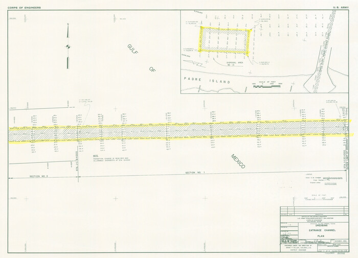
Size: 14.6 x 20.0 inches
83337
Brazos Island Harbor, Texas - Dredging Entrance Channel Plan
83338.tif
Print $20.00 - Digital $50.00

Brazos Island Harbor, Texas - Dredging Entrance Channel Plan

1990
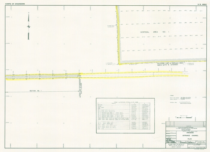
Size: 14.5 x 20.1 inches
83338
Brazos Island Harbor, Texas - Dredging Entrance Channel Plan
83339.tif
Print $20.00 - Digital $50.00

Brazos Island Harbor, Texas - Dredging Entrance Channel Plan

1990

Size: 14.5 x 19.9 inches
83339
Current Miscellaneous File 79
74210, Current Miscellaneous File 79, General Map Collection
Print $6.00 - Digital $50.00

Current Miscellaneous File 79

Size: 10.8 x 8.4 inches
74210
Gulf Intracoastal Waterway - Aransas Bay to Corpus Christi Bay - Modified Route Main Channel
61900.tif
Print $20.00 - Digital $50.00

Gulf Intracoastal Waterway - Aransas Bay to Corpus Christi Bay - Modified Route Main Channel

1960

Size: 30.9 x 42.8 inches
61900
Gulf Intracoastal Waterway - Aransas Bay to Corpus Christi Bay - Modified Route Main Channel
61901.tif
Print $20.00 - Digital $50.00

Gulf Intracoastal Waterway - Aransas Bay to Corpus Christi Bay - Modified Route Main Channel

1960
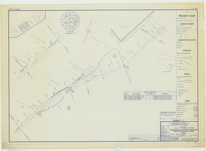
Size: 31.0 x 42.7 inches
61901
Gulf Intracoastal Waterway - Aransas Bay to Corpus Christi Bay - Modified Route Main Channel
61902.tif
Print $20.00 - Digital $50.00

Gulf Intracoastal Waterway - Aransas Bay to Corpus Christi Bay - Modified Route Main Channel

1960

Size: 31.3 x 42.7 inches
61902
Gulf Intracoastal Waterway - Aransas Bay to Corpus Christi Bay - Modified Route Main Channel
61904.tif
Print $20.00 - Digital $50.00

Gulf Intracoastal Waterway - Aransas Bay to Corpus Christi Bay - Modified Route Main Channel

Size: 30.9 x 41.9 inches
61904
Gulf Intracoastal Waterway - Aransas Bay to Corpus Christi Bay, Modified Route of Main Channel Location of Spoil Disposal Areas
61829.tif
Print $20.00 - Digital $50.00

Gulf Intracoastal Waterway - Aransas Bay to Corpus Christi Bay, Modified Route of Main Channel Location of Spoil Disposal Areas

1961

Size: 31.4 x 42.1 inches
61829
Gulf Intracoastal Waterway - High Island to Chocolate Bay, Location of Spoil Disposal Areas
61830.tif
Print $20.00 - Digital $50.00

Gulf Intracoastal Waterway - High Island to Chocolate Bay, Location of Spoil Disposal Areas

1961

Size: 31.1 x 40.8 inches
61830
Gulf Intracoastal Waterway - Texas Erosion at the West End of Bolivar Peninsula Comparative Shorelines
61826.tif
Print $20.00 - Digital $50.00

Gulf Intracoastal Waterway - Texas Erosion at the West End of Bolivar Peninsula Comparative Shorelines

1950

Size: 29.0 x 40.3 inches
61826
Gulf Intracoastal Waterway - Tributary Channel to Aransas Pass, Location of Spoil Disposal Areas
61828.tif
Print $20.00 - Digital $50.00

Gulf Intracoastal Waterway - Tributary Channel to Aransas Pass, Location of Spoil Disposal Areas

1961

Size: 31.5 x 41.9 inches
61828
Gulf Intracoastal Waterway, Tex. - Aransas Bay to Corpus Christi Bay - Modified Route of Main Channel/Dredging
61893.tif
Print $20.00 - Digital $50.00

Gulf Intracoastal Waterway, Tex. - Aransas Bay to Corpus Christi Bay - Modified Route of Main Channel/Dredging

1958

Size: 31.0 x 42.8 inches
61893
Gulf Intracoastal Waterway, Tex. - Aransas Bay to Corpus Christi Bay - Modified Route of Main Channel/Dredging
61894.tif
Print $20.00 - Digital $50.00

Gulf Intracoastal Waterway, Tex. - Aransas Bay to Corpus Christi Bay - Modified Route of Main Channel/Dredging

1958

Size: 31.3 x 42.6 inches
61894
Gulf Intracoastal Waterway, Tex. - Aransas Bay to Corpus Christi Bay - Modified Route of Main Channel/Dredging
61895.tif
Print $20.00 - Digital $50.00

Gulf Intracoastal Waterway, Tex. - Aransas Bay to Corpus Christi Bay - Modified Route of Main Channel/Dredging

1958

Size: 31.0 x 42.8 inches
61895
Gulf Intracoastal Waterway, Tex. - Aransas Bay to Corpus Christi Bay - Modified Route of Main Channel/Dredging
61896.tif
Print $20.00 - Digital $50.00

Gulf Intracoastal Waterway, Tex. - Aransas Bay to Corpus Christi Bay - Modified Route of Main Channel/Dredging

1958

Size: 30.8 x 42.8 inches
61896
Gulf Intracoastal Waterway, Tex. - Aransas Bay to Corpus Christi Bay - Modified Route of Main Channel/Dredging
61897.tif
Print $20.00 - Digital $50.00

Gulf Intracoastal Waterway, Tex. - Aransas Bay to Corpus Christi Bay - Modified Route of Main Channel/Dredging

1958

Size: 31.2 x 42.5 inches
61897
Gulf Intracoastal Waterway, Tex. - Aransas Bay to Corpus Christi Bay - Modified Route of Main Channel/Dredging
61898.tif
Print $20.00 - Digital $50.00

Gulf Intracoastal Waterway, Tex. - Aransas Bay to Corpus Christi Bay - Modified Route of Main Channel/Dredging

1958

Size: 31.5 x 43.0 inches
61898
Gulf Intracoastal Waterway, Tex. - Aransas Bay to Corpus Christi Bay - Modified Route of Main Channel/Dredging
61899.tif
Print $20.00 - Digital $50.00

Gulf Intracoastal Waterway, Tex. - Aransas Bay to Corpus Christi Bay - Modified Route of Main Channel/Dredging

1958

Size: 31.3 x 42.8 inches
61899
Intracoastal Waterway in Texas - Corpus Christi to Point Isabel including Arroyo Colorado to Mo. Pac. R.R. Bridge Near Harlingen
61844.tif
Print $20.00 - Digital $50.00

Intracoastal Waterway in Texas - Corpus Christi to Point Isabel including Arroyo Colorado to Mo. Pac. R.R. Bridge Near Harlingen

1933

Size: 28.1 x 41.0 inches
61844
Intracoastal Waterway in Texas - Corpus Christi to Point Isabel including Arroyo Colorado to Mo. Pac. R.R. Bridge Near Harlingen
61845.tif
Print $20.00 - Digital $50.00

Intracoastal Waterway in Texas - Corpus Christi to Point Isabel including Arroyo Colorado to Mo. Pac. R.R. Bridge Near Harlingen

1933

Size: 28.1 x 41.2 inches
61845
Intracoastal Waterway in Texas - Corpus Christi to Point Isabel including Arroyo Colorado to Mo. Pac. R.R. Bridge Near Harlingen
61846.tif
Print $20.00 - Digital $50.00

Intracoastal Waterway in Texas - Corpus Christi to Point Isabel including Arroyo Colorado to Mo. Pac. R.R. Bridge Near Harlingen

1933

Size: 28.2 x 41.0 inches
61846
Intracoastal Waterway in Texas - Corpus Christi to Point Isabel including Arroyo Colorado to Mo. Pac. R.R. Bridge Near Harlingen
61847.tif
Print $20.00 - Digital $50.00

Intracoastal Waterway in Texas - Corpus Christi to Point Isabel including Arroyo Colorado to Mo. Pac. R.R. Bridge Near Harlingen

1933

Size: 28.1 x 40.8 inches
61847
Intracoastal Waterway in Texas - Corpus Christi to Point Isabel including Arroyo Colorado to Mo. Pac. R.R. Bridge Near Harlingen
61848.tif
Print $20.00 - Digital $50.00

Intracoastal Waterway in Texas - Corpus Christi to Point Isabel including Arroyo Colorado to Mo. Pac. R.R. Bridge Near Harlingen

1933

Size: 28.0 x 40.7 inches
61848
Intracoastal Waterway in Texas - Corpus Christi to Point Isabel including Arroyo Colorado to Mo. Pac. R.R. Bridge Near Harlingen
61849.tif
Print $20.00 - Digital $50.00

Intracoastal Waterway in Texas - Corpus Christi to Point Isabel including Arroyo Colorado to Mo. Pac. R.R. Bridge Near Harlingen

1933

Size: 28.0 x 40.8 inches
61849
Intracoastal Waterway in Texas - Corpus Christi to Point Isabel including Arroyo Colorado to Mo. Pac. R.R. Bridge Near Harlingen
61850.tif
Print $20.00 - Digital $50.00

Intracoastal Waterway in Texas - Corpus Christi to Point Isabel including Arroyo Colorado to Mo. Pac. R.R. Bridge Near Harlingen

1933

Size: 28.0 x 40.8 inches
61850
Intracoastal Waterway in Texas - Corpus Christi to Point Isabel including Arroyo Colorado to Mo. Pac. R.R. Bridge Near Harlingen
61851.tif
Print $20.00 - Digital $50.00

Intracoastal Waterway in Texas - Corpus Christi to Point Isabel including Arroyo Colorado to Mo. Pac. R.R. Bridge Near Harlingen

1933

Size: 28.1 x 40.9 inches
61851
Intracoastal Waterway in Texas - Corpus Christi to Point Isabel including Arroyo Colorado to Mo. Pac. R.R. Bridge Near Harlingen
61852.tif
Print $20.00 - Digital $50.00

Intracoastal Waterway in Texas - Corpus Christi to Point Isabel including Arroyo Colorado to Mo. Pac. R.R. Bridge Near Harlingen

1933

Size: 28.2 x 40.8 inches
61852
Intracoastal Waterway in Texas - Corpus Christi to Point Isabel including Arroyo Colorado to Mo. Pac. R.R. Bridge Near Harlingen
61853.tif
Print $20.00 - Digital $50.00

Intracoastal Waterway in Texas - Corpus Christi to Point Isabel including Arroyo Colorado to Mo. Pac. R.R. Bridge Near Harlingen

1933

Size: 28.2 x 41.0 inches
61853
Intracoastal Waterway in Texas - Corpus Christi to Point Isabel including Arroyo Colorado to Mo. Pac. R.R. Bridge Near Harlingen
61854.tif
Print $20.00 - Digital $50.00

Intracoastal Waterway in Texas - Corpus Christi to Point Isabel including Arroyo Colorado to Mo. Pac. R.R. Bridge Near Harlingen

1933

Size: 28.2 x 41.0 inches
61854
Brazos Island Harbor, Texas - Dredging Entrance Channel Plan
83337, Brazos Island Harbor, Texas - Dredging Entrance Channel Plan, General Map Collection
Print $20.00 - Digital $50.00

Brazos Island Harbor, Texas - Dredging Entrance Channel Plan

1990

  • Size

    14.6 x 20.0 inches

  • Map/Doc

    83337

  • Creation Date

    1990

Brazos Island Harbor, Texas - Dredging Entrance Channel Plan
83338, Brazos Island Harbor, Texas - Dredging Entrance Channel Plan, General Map Collection
Print $20.00 - Digital $50.00

Brazos Island Harbor, Texas - Dredging Entrance Channel Plan

1990

  • Size

    14.5 x 20.1 inches

  • Map/Doc

    83338

  • Creation Date

    1990

Brazos Island Harbor, Texas - Dredging Entrance Channel Plan
83339, Brazos Island Harbor, Texas - Dredging Entrance Channel Plan, General Map Collection
Print $20.00 - Digital $50.00

Brazos Island Harbor, Texas - Dredging Entrance Channel Plan

1990

  • Size

    14.5 x 19.9 inches

  • Map/Doc

    83339

  • Creation Date

    1990

Current Miscellaneous File 79
74210, Current Miscellaneous File 79, General Map Collection
Print $6.00 - Digital $50.00

Current Miscellaneous File 79

  • Size

    10.8 x 8.4 inches

  • Map/Doc

    74210

Gulf Intracoastal Waterway - Aransas Bay to Corpus Christi Bay - Modified Route Main Channel
61900, Gulf Intracoastal Waterway - Aransas Bay to Corpus Christi Bay - Modified Route Main Channel, General Map Collection
Print $20.00 - Digital $50.00

Gulf Intracoastal Waterway - Aransas Bay to Corpus Christi Bay - Modified Route Main Channel

1960

  • Size

    30.9 x 42.8 inches

  • Map/Doc

    61900

  • Creation Date

    1960

Gulf Intracoastal Waterway - Aransas Bay to Corpus Christi Bay - Modified Route Main Channel
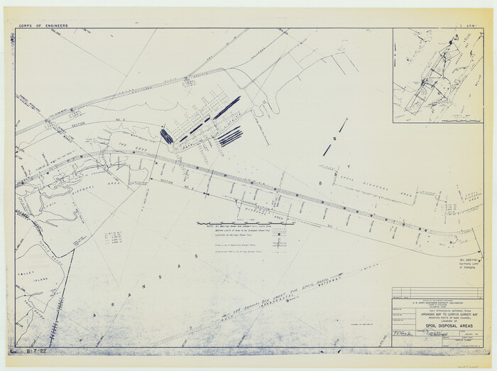
61901, Gulf Intracoastal Waterway - Aransas Bay to Corpus Christi Bay - Modified Route Main Channel, General Map Collection
Print $20.00 - Digital $50.00

Gulf Intracoastal Waterway - Aransas Bay to Corpus Christi Bay - Modified Route Main Channel

1960

  • Size

    31.0 x 42.7 inches

  • Map/Doc

    61901

  • Creation Date

    1960

Gulf Intracoastal Waterway - Aransas Bay to Corpus Christi Bay - Modified Route Main Channel
61902, Gulf Intracoastal Waterway - Aransas Bay to Corpus Christi Bay - Modified Route Main Channel, General Map Collection
Print $20.00 - Digital $50.00

Gulf Intracoastal Waterway - Aransas Bay to Corpus Christi Bay - Modified Route Main Channel

1960

  • Size

    31.3 x 42.7 inches

  • Map/Doc

    61902

  • Creation Date

    1960

Gulf Intracoastal Waterway - Aransas Bay to Corpus Christi Bay - Modified Route Main Channel
61904, Gulf Intracoastal Waterway - Aransas Bay to Corpus Christi Bay - Modified Route Main Channel, General Map Collection
Print $20.00 - Digital $50.00

Gulf Intracoastal Waterway - Aransas Bay to Corpus Christi Bay - Modified Route Main Channel

  • Size

    30.9 x 41.9 inches

  • Map/Doc

    61904

Gulf Intracoastal Waterway - Aransas Bay to Corpus Christi Bay, Modified Route of Main Channel Location of Spoil Disposal Areas
61829, Gulf Intracoastal Waterway - Aransas Bay to Corpus Christi Bay, Modified Route of Main Channel Location of Spoil Disposal Areas, General Map Collection
Print $20.00 - Digital $50.00

Gulf Intracoastal Waterway - Aransas Bay to Corpus Christi Bay, Modified Route of Main Channel Location of Spoil Disposal Areas

1961

  • Size

    31.4 x 42.1 inches

  • Map/Doc

    61829

  • Creation Date

    1961

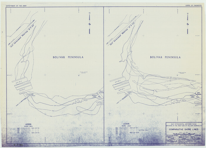
Gulf Intracoastal Waterway - High Island to Chocolate Bay, Location of Spoil Disposal Areas
61830, Gulf Intracoastal Waterway - High Island to Chocolate Bay, Location of Spoil Disposal Areas, General Map Collection
Print $20.00 - Digital $50.00

Gulf Intracoastal Waterway - High Island to Chocolate Bay, Location of Spoil Disposal Areas

1961
  • Size

    31.1 x 40.8 inches

  • Map/Doc

    61830

  • Creation Date

    1961

Gulf Intracoastal Waterway - Texas Erosion at the West End of Bolivar Peninsula Comparative Shorelines
61826, Gulf Intracoastal Waterway - Texas Erosion at the West End of Bolivar Peninsula Comparative Shorelines, General Map Collection
Print $20.00 - Digital $50.00

Gulf Intracoastal Waterway - Texas Erosion at the West End of Bolivar Peninsula Comparative Shorelines

1950

  • Size

    29.0 x 40.3 inches

  • Map/Doc

    61826

  • Creation Date

    1950

Gulf Intracoastal Waterway - Tributary Channel to Aransas Pass, Location of Spoil Disposal Areas
61828, Gulf Intracoastal Waterway - Tributary Channel to Aransas Pass, Location of Spoil Disposal Areas, General Map Collection
Print $20.00 - Digital $50.00

Gulf Intracoastal Waterway - Tributary Channel to Aransas Pass, Location of Spoil Disposal Areas

1961

  • Size

    31.5 x 41.9 inches

  • Map/Doc

    61828

  • Creation Date

    1961

Gulf Intracoastal Waterway, Tex. - Aransas Bay to Corpus Christi Bay - Modified Route of Main Channel/Dredging
61893, Gulf Intracoastal Waterway, Tex. - Aransas Bay to Corpus Christi Bay - Modified Route of Main Channel/Dredging, General Map Collection
Print $20.00 - Digital $50.00

Gulf Intracoastal Waterway, Tex. - Aransas Bay to Corpus Christi Bay - Modified Route of Main Channel/Dredging

1958

  • Size

    31.0 x 42.8 inches

  • Map/Doc

    61893

  • Creation Date

    1958

Gulf Intracoastal Waterway, Tex. - Aransas Bay to Corpus Christi Bay - Modified Route of Main Channel/Dredging
61894, Gulf Intracoastal Waterway, Tex. - Aransas Bay to Corpus Christi Bay - Modified Route of Main Channel/Dredging, General Map Collection
Print $20.00 - Digital $50.00

Gulf Intracoastal Waterway, Tex. - Aransas Bay to Corpus Christi Bay - Modified Route of Main Channel/Dredging

1958

  • Size

    31.3 x 42.6 inches

  • Map/Doc

    61894

  • Creation Date

    1958

Gulf Intracoastal Waterway, Tex. - Aransas Bay to Corpus Christi Bay - Modified Route of Main Channel/Dredging
61895, Gulf Intracoastal Waterway, Tex. - Aransas Bay to Corpus Christi Bay - Modified Route of Main Channel/Dredging, General Map Collection
Print $20.00 - Digital $50.00

Gulf Intracoastal Waterway, Tex. - Aransas Bay to Corpus Christi Bay - Modified Route of Main Channel/Dredging

1958

  • Size

    31.0 x 42.8 inches

  • Map/Doc

    61895

  • Creation Date

    1958

Gulf Intracoastal Waterway, Tex. - Aransas Bay to Corpus Christi Bay - Modified Route of Main Channel/Dredging
61896, Gulf Intracoastal Waterway, Tex. - Aransas Bay to Corpus Christi Bay - Modified Route of Main Channel/Dredging, General Map Collection
Print $20.00 - Digital $50.00

Gulf Intracoastal Waterway, Tex. - Aransas Bay to Corpus Christi Bay - Modified Route of Main Channel/Dredging

1958

  • Size

    30.8 x 42.8 inches

  • Map/Doc

    61896

  • Creation Date

    1958

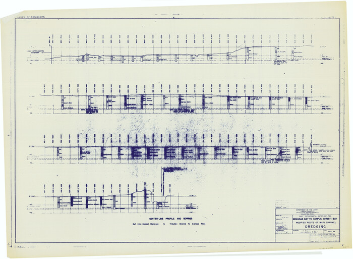
Gulf Intracoastal Waterway, Tex. - Aransas Bay to Corpus Christi Bay - Modified Route of Main Channel/Dredging
61897, Gulf Intracoastal Waterway, Tex. - Aransas Bay to Corpus Christi Bay - Modified Route of Main Channel/Dredging, General Map Collection
Print $20.00 - Digital $50.00

Gulf Intracoastal Waterway, Tex. - Aransas Bay to Corpus Christi Bay - Modified Route of Main Channel/Dredging

1958
  • Size

    31.2 x 42.5 inches

  • Map/Doc

    61897

  • Creation Date

    1958

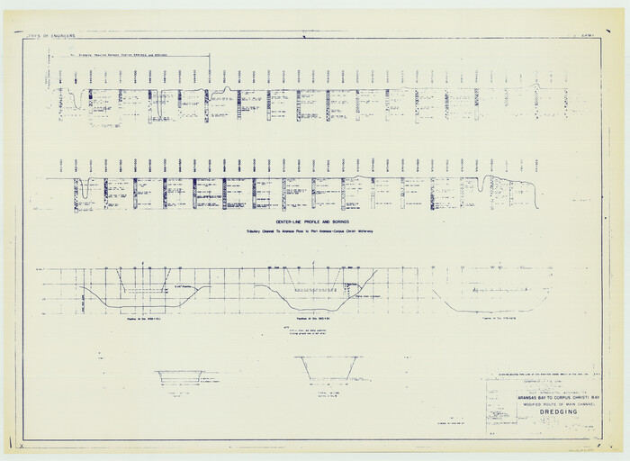
Gulf Intracoastal Waterway, Tex. - Aransas Bay to Corpus Christi Bay - Modified Route of Main Channel/Dredging
61898, Gulf Intracoastal Waterway, Tex. - Aransas Bay to Corpus Christi Bay - Modified Route of Main Channel/Dredging, General Map Collection
Print $20.00 - Digital $50.00

Gulf Intracoastal Waterway, Tex. - Aransas Bay to Corpus Christi Bay - Modified Route of Main Channel/Dredging

1958
  • Size

    31.5 x 43.0 inches

  • Map/Doc

    61898

  • Creation Date

    1958

Gulf Intracoastal Waterway, Tex. - Aransas Bay to Corpus Christi Bay - Modified Route of Main Channel/Dredging
61899, Gulf Intracoastal Waterway, Tex. - Aransas Bay to Corpus Christi Bay - Modified Route of Main Channel/Dredging, General Map Collection
Print $20.00 - Digital $50.00

Gulf Intracoastal Waterway, Tex. - Aransas Bay to Corpus Christi Bay - Modified Route of Main Channel/Dredging

1958
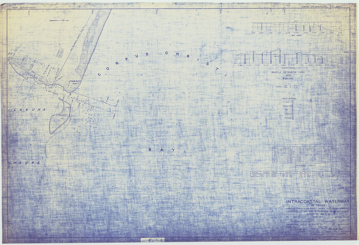
  • Size

    31.3 x 42.8 inches

  • Map/Doc

    61899

  • Creation Date

    1958

Intracoastal Waterway in Texas - Corpus Christi to Point Isabel including Arroyo Colorado to Mo. Pac. R.R. Bridge Near Harlingen
61844, Intracoastal Waterway in Texas - Corpus Christi to Point Isabel including Arroyo Colorado to Mo. Pac. R.R. Bridge Near Harlingen, General Map Collection
Print $20.00 - Digital $50.00

Intracoastal Waterway in Texas - Corpus Christi to Point Isabel including Arroyo Colorado to Mo. Pac. R.R. Bridge Near Harlingen

1933
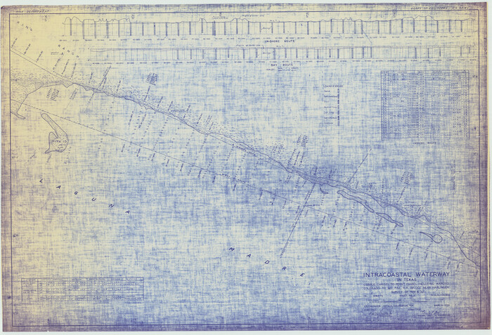
  • Size

    28.1 x 41.0 inches

  • Map/Doc

    61844

  • Creation Date

    1933

Intracoastal Waterway in Texas - Corpus Christi to Point Isabel including Arroyo Colorado to Mo. Pac. R.R. Bridge Near Harlingen
61845, Intracoastal Waterway in Texas - Corpus Christi to Point Isabel including Arroyo Colorado to Mo. Pac. R.R. Bridge Near Harlingen, General Map Collection
Print $20.00 - Digital $50.00

Intracoastal Waterway in Texas - Corpus Christi to Point Isabel including Arroyo Colorado to Mo. Pac. R.R. Bridge Near Harlingen

1933
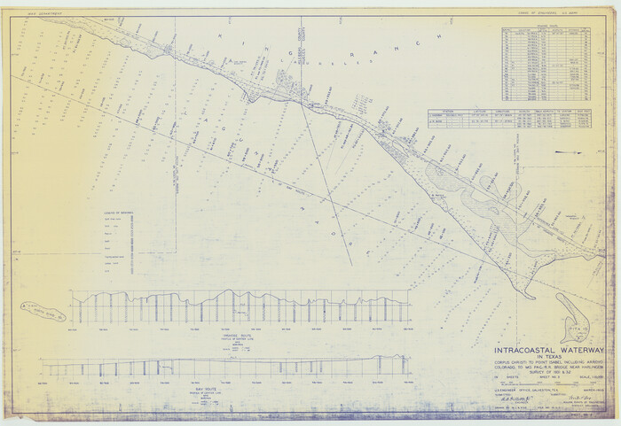
  • Size

    28.1 x 41.2 inches

  • Map/Doc

    61845

  • Creation Date

    1933

Intracoastal Waterway in Texas - Corpus Christi to Point Isabel including Arroyo Colorado to Mo. Pac. R.R. Bridge Near Harlingen
61846, Intracoastal Waterway in Texas - Corpus Christi to Point Isabel including Arroyo Colorado to Mo. Pac. R.R. Bridge Near Harlingen, General Map Collection
Print $20.00 - Digital $50.00

Intracoastal Waterway in Texas - Corpus Christi to Point Isabel including Arroyo Colorado to Mo. Pac. R.R. Bridge Near Harlingen

1933
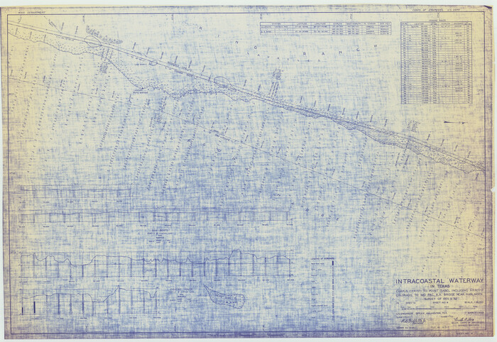
  • Size

    28.2 x 41.0 inches

  • Map/Doc

    61846

  • Creation Date

    1933

Intracoastal Waterway in Texas - Corpus Christi to Point Isabel including Arroyo Colorado to Mo. Pac. R.R. Bridge Near Harlingen
61847, Intracoastal Waterway in Texas - Corpus Christi to Point Isabel including Arroyo Colorado to Mo. Pac. R.R. Bridge Near Harlingen, General Map Collection
Print $20.00 - Digital $50.00

Intracoastal Waterway in Texas - Corpus Christi to Point Isabel including Arroyo Colorado to Mo. Pac. R.R. Bridge Near Harlingen

1933
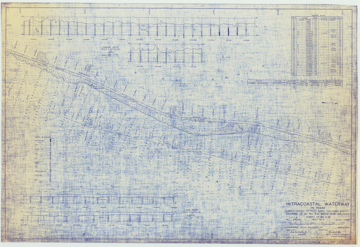
  • Size

    28.1 x 40.8 inches

  • Map/Doc

    61847

  • Creation Date

    1933

Intracoastal Waterway in Texas - Corpus Christi to Point Isabel including Arroyo Colorado to Mo. Pac. R.R. Bridge Near Harlingen
61848, Intracoastal Waterway in Texas - Corpus Christi to Point Isabel including Arroyo Colorado to Mo. Pac. R.R. Bridge Near Harlingen, General Map Collection
Print $20.00 - Digital $50.00

Intracoastal Waterway in Texas - Corpus Christi to Point Isabel including Arroyo Colorado to Mo. Pac. R.R. Bridge Near Harlingen

1933

  • Size

    28.0 x 40.7 inches

  • Map/Doc

    61848

  • Creation Date

    1933

Intracoastal Waterway in Texas - Corpus Christi to Point Isabel including Arroyo Colorado to Mo. Pac. R.R. Bridge Near Harlingen
61849, Intracoastal Waterway in Texas - Corpus Christi to Point Isabel including Arroyo Colorado to Mo. Pac. R.R. Bridge Near Harlingen, General Map Collection
Print $20.00 - Digital $50.00

Intracoastal Waterway in Texas - Corpus Christi to Point Isabel including Arroyo Colorado to Mo. Pac. R.R. Bridge Near Harlingen

1933
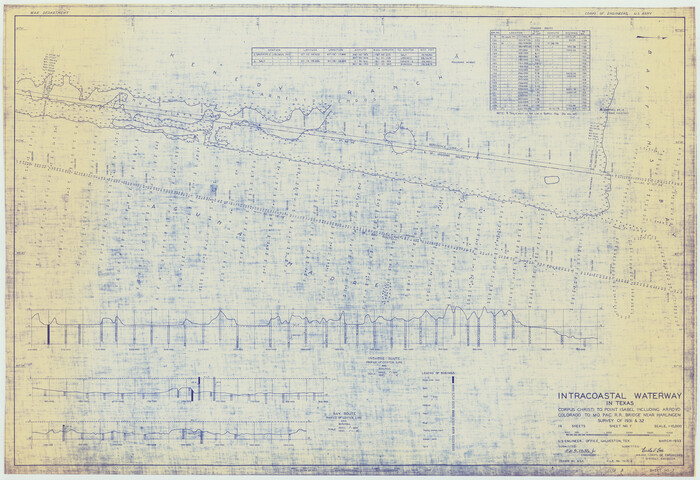
  • Size

    28.0 x 40.8 inches

  • Map/Doc

    61849

  • Creation Date

    1933

Intracoastal Waterway in Texas - Corpus Christi to Point Isabel including Arroyo Colorado to Mo. Pac. R.R. Bridge Near Harlingen
61850, Intracoastal Waterway in Texas - Corpus Christi to Point Isabel including Arroyo Colorado to Mo. Pac. R.R. Bridge Near Harlingen, General Map Collection
Print $20.00 - Digital $50.00

Intracoastal Waterway in Texas - Corpus Christi to Point Isabel including Arroyo Colorado to Mo. Pac. R.R. Bridge Near Harlingen

1933

  • Size

    28.0 x 40.8 inches

  • Map/Doc

    61850

  • Creation Date

    1933

Intracoastal Waterway in Texas - Corpus Christi to Point Isabel including Arroyo Colorado to Mo. Pac. R.R. Bridge Near Harlingen
61851, Intracoastal Waterway in Texas - Corpus Christi to Point Isabel including Arroyo Colorado to Mo. Pac. R.R. Bridge Near Harlingen, General Map Collection
Print $20.00 - Digital $50.00

Intracoastal Waterway in Texas - Corpus Christi to Point Isabel including Arroyo Colorado to Mo. Pac. R.R. Bridge Near Harlingen

1933

  • Size

    28.1 x 40.9 inches

  • Map/Doc

    61851

  • Creation Date

    1933

Intracoastal Waterway in Texas - Corpus Christi to Point Isabel including Arroyo Colorado to Mo. Pac. R.R. Bridge Near Harlingen
61852, Intracoastal Waterway in Texas - Corpus Christi to Point Isabel including Arroyo Colorado to Mo. Pac. R.R. Bridge Near Harlingen, General Map Collection
Print $20.00 - Digital $50.00

Intracoastal Waterway in Texas - Corpus Christi to Point Isabel including Arroyo Colorado to Mo. Pac. R.R. Bridge Near Harlingen

1933
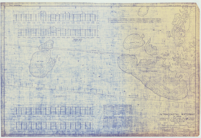
  • Size

    28.2 x 40.8 inches

  • Map/Doc

    61852

  • Creation Date

    1933

Intracoastal Waterway in Texas - Corpus Christi to Point Isabel including Arroyo Colorado to Mo. Pac. R.R. Bridge Near Harlingen
61853, Intracoastal Waterway in Texas - Corpus Christi to Point Isabel including Arroyo Colorado to Mo. Pac. R.R. Bridge Near Harlingen, General Map Collection
Print $20.00 - Digital $50.00

Intracoastal Waterway in Texas - Corpus Christi to Point Isabel including Arroyo Colorado to Mo. Pac. R.R. Bridge Near Harlingen

1933

  • Size

    28.2 x 41.0 inches

  • Map/Doc

    61853

  • Creation Date

    1933

Intracoastal Waterway in Texas - Corpus Christi to Point Isabel including Arroyo Colorado to Mo. Pac. R.R. Bridge Near Harlingen
61854, Intracoastal Waterway in Texas - Corpus Christi to Point Isabel including Arroyo Colorado to Mo. Pac. R.R. Bridge Near Harlingen, General Map Collection
Print $20.00 - Digital $50.00

Intracoastal Waterway in Texas - Corpus Christi to Point Isabel including Arroyo Colorado to Mo. Pac. R.R. Bridge Near Harlingen

1933

  • Size

    28.2 x 41.0 inches

  • Map/Doc

    61854

  • Creation Date

    1933