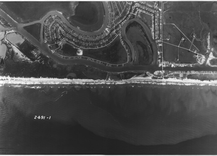
[Aerial photograph from Carancahua Bend of Caney Creek to Cedar Lake]
1991
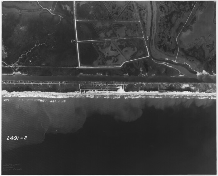
[Aerial photograph from Carancahua Bend of Caney Creek to Cedar Lake]
1991
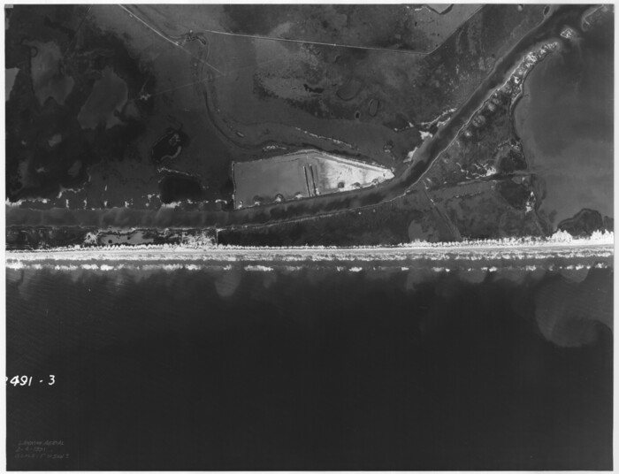
[Aerial photograph from Carancahua Bend of Caney Creek to Cedar Lake]
1991

Brazos Island Harbor, Texas - Dredging Entrance Channel Plan
1990
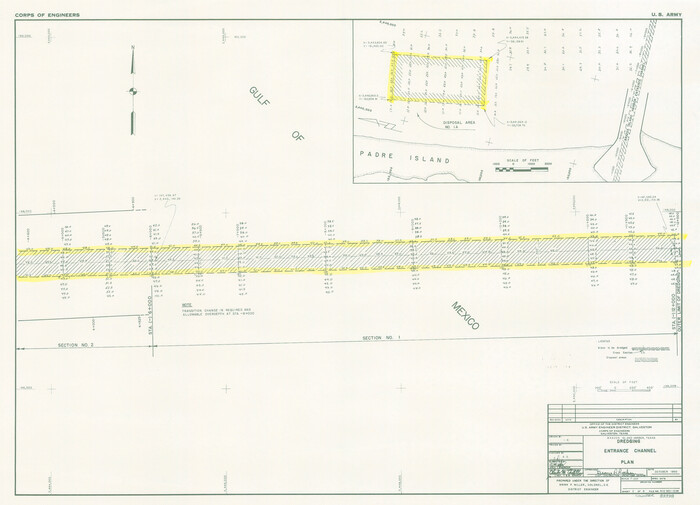
Brazos Island Harbor, Texas - Dredging Entrance Channel Plan
1990
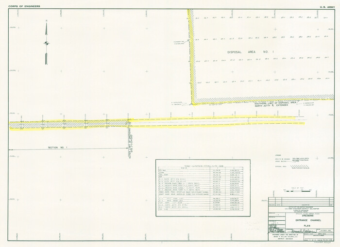
Brazos Island Harbor, Texas - Dredging Entrance Channel Plan
1990
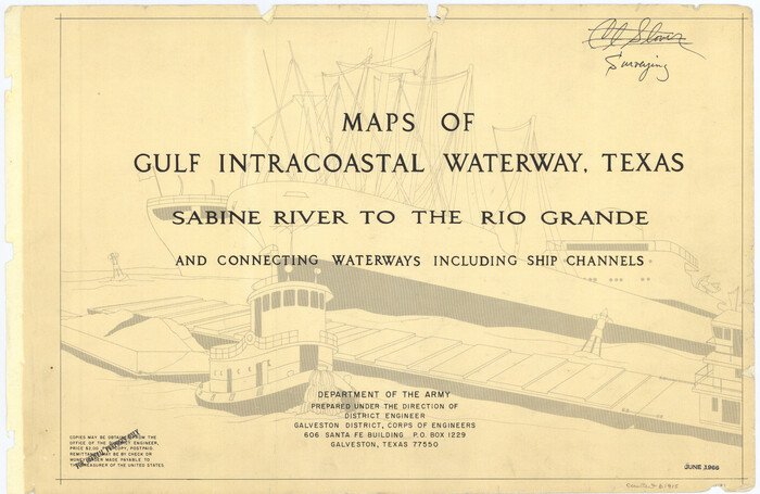
Maps of Gulf Intracoastal Waterway, Texas - Sabine River to the Rio Grande and connecting waterways including ship channels
1966
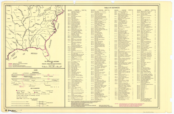
Maps of Gulf Intracoastal Waterway, Texas - Sabine River to the Rio Grande and connecting waterways including ship channels
1966

Maps of Gulf Intracoastal Waterway, Texas - Sabine River to the Rio Grande and connecting waterways including ship channels
1966
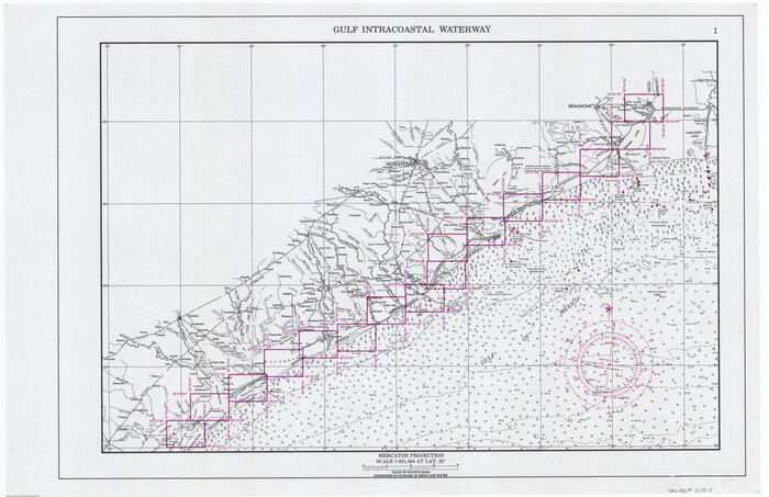
Maps of Gulf Intracoastal Waterway, Texas - Sabine River to the Rio Grande and connecting waterways including ship channels
1966

Maps of Gulf Intracoastal Waterway, Texas - Sabine River to the Rio Grande and connecting waterways including ship channels
1966
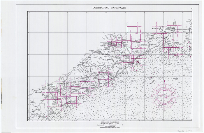
Maps of Gulf Intracoastal Waterway, Texas - Sabine River to the Rio Grande and connecting waterways including ship channels
1966

Maps of Gulf Intracoastal Waterway, Texas - Sabine River to the Rio Grande and connecting waterways including ship channels
1966
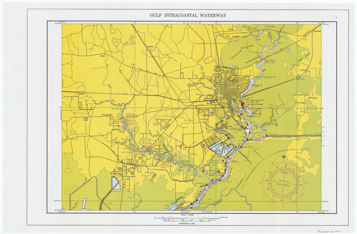
Maps of Gulf Intracoastal Waterway, Texas - Sabine River to the Rio Grande and connecting waterways including ship channels
1966

Maps of Gulf Intracoastal Waterway, Texas - Sabine River to the Rio Grande and connecting waterways including ship channels
1966

Maps of Gulf Intracoastal Waterway, Texas - Sabine River to the Rio Grande and connecting waterways including ship channels
1966
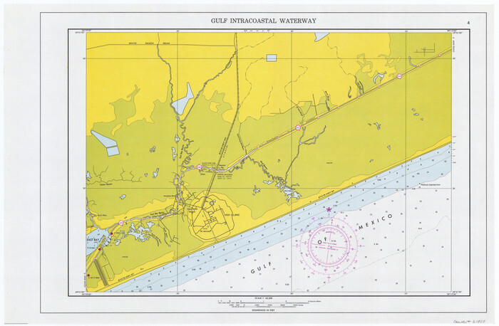
Maps of Gulf Intracoastal Waterway, Texas - Sabine River to the Rio Grande and connecting waterways including ship channels
1966
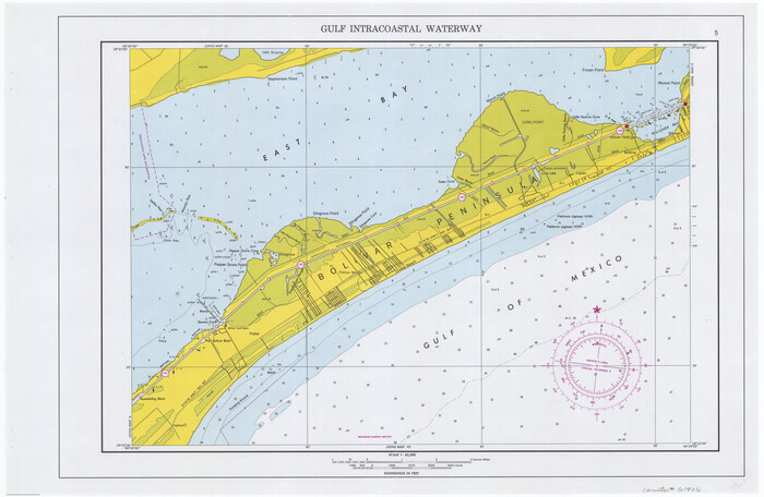
Maps of Gulf Intracoastal Waterway, Texas - Sabine River to the Rio Grande and connecting waterways including ship channels
1966

Maps of Gulf Intracoastal Waterway, Texas - Sabine River to the Rio Grande and connecting waterways including ship channels
1966
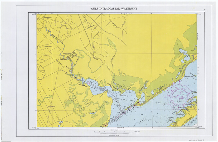
Maps of Gulf Intracoastal Waterway, Texas - Sabine River to the Rio Grande and connecting waterways including ship channels
1966
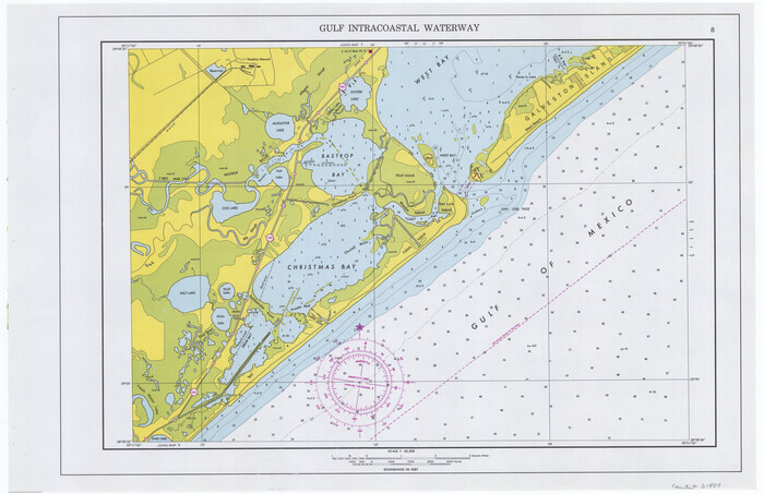
Maps of Gulf Intracoastal Waterway, Texas - Sabine River to the Rio Grande and connecting waterways including ship channels
1966
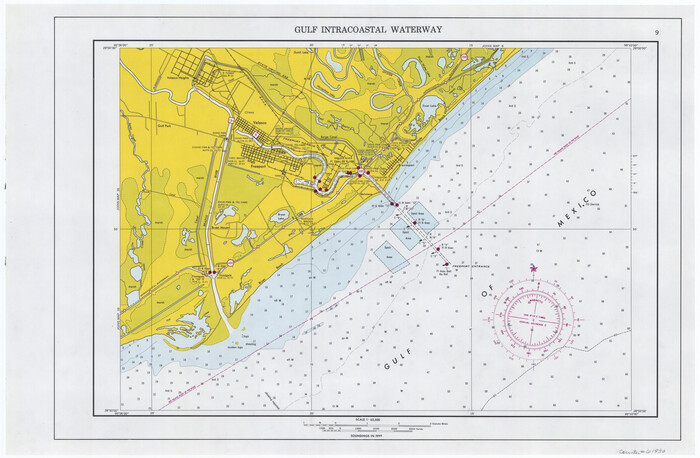
Maps of Gulf Intracoastal Waterway, Texas - Sabine River to the Rio Grande and connecting waterways including ship channels
1966
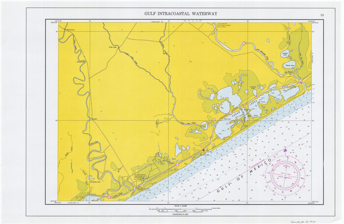
Maps of Gulf Intracoastal Waterway, Texas - Sabine River to the Rio Grande and connecting waterways including ship channels
1966
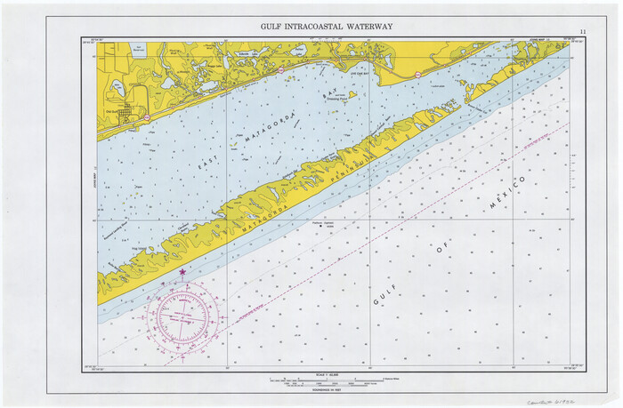
Maps of Gulf Intracoastal Waterway, Texas - Sabine River to the Rio Grande and connecting waterways including ship channels
1966
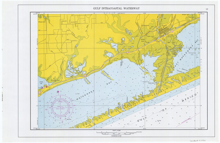
Maps of Gulf Intracoastal Waterway, Texas - Sabine River to the Rio Grande and connecting waterways including ship channels
1966
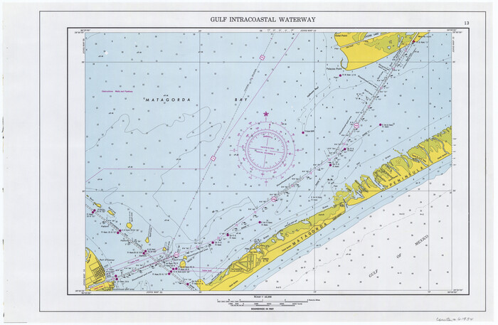
Maps of Gulf Intracoastal Waterway, Texas - Sabine River to the Rio Grande and connecting waterways including ship channels
1966
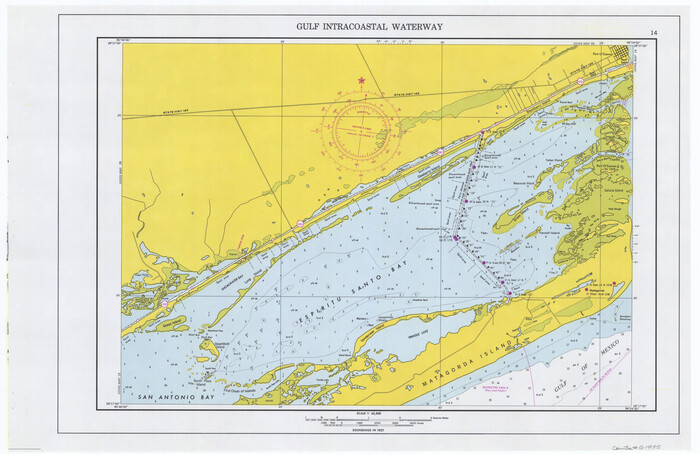
Maps of Gulf Intracoastal Waterway, Texas - Sabine River to the Rio Grande and connecting waterways including ship channels
1966

Maps of Gulf Intracoastal Waterway, Texas - Sabine River to the Rio Grande and connecting waterways including ship channels
1966
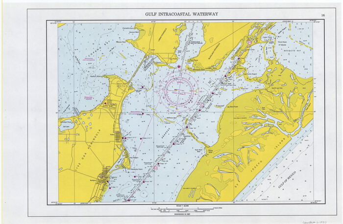
Maps of Gulf Intracoastal Waterway, Texas - Sabine River to the Rio Grande and connecting waterways including ship channels
1966
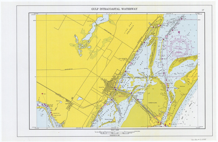
Maps of Gulf Intracoastal Waterway, Texas - Sabine River to the Rio Grande and connecting waterways including ship channels
1966
![78639, [Aerial photograph from Carancahua Bend of Caney Creek to Cedar Lake], General Map Collection](https://historictexasmaps.com/wmedia_w700/maps/78639.tif.jpg)
[Aerial photograph from Carancahua Bend of Caney Creek to Cedar Lake]
1991
-
Size
24.4 x 34.0 inches
-
Map/Doc
78639
-
Creation Date
1991
![78640, [Aerial photograph from Carancahua Bend of Caney Creek to Cedar Lake], General Map Collection](https://historictexasmaps.com/wmedia_w700/maps/78640.tif.jpg)
[Aerial photograph from Carancahua Bend of Caney Creek to Cedar Lake]
1991
-
Size
24.4 x 30.3 inches
-
Map/Doc
78640
-
Creation Date
1991
![78641, [Aerial photograph from Carancahua Bend of Caney Creek to Cedar Lake], General Map Collection](https://historictexasmaps.com/wmedia_w700/maps/78641.tif.jpg)
[Aerial photograph from Carancahua Bend of Caney Creek to Cedar Lake]
1991
-
Size
24.5 x 31.9 inches
-
Map/Doc
78641
-
Creation Date
1991

Brazos Island Harbor, Texas - Dredging Entrance Channel Plan
1990
-
Size
14.6 x 20.0 inches
-
Map/Doc
83337
-
Creation Date
1990

Brazos Island Harbor, Texas - Dredging Entrance Channel Plan
1990
-
Size
14.5 x 20.1 inches
-
Map/Doc
83338
-
Creation Date
1990

Brazos Island Harbor, Texas - Dredging Entrance Channel Plan
1990
-
Size
14.5 x 19.9 inches
-
Map/Doc
83339
-
Creation Date
1990

Maps of Gulf Intracoastal Waterway, Texas - Sabine River to the Rio Grande and connecting waterways including ship channels
1966
-
Size
14.5 x 22.2 inches
-
Map/Doc
61915
-
Creation Date
1966

Maps of Gulf Intracoastal Waterway, Texas - Sabine River to the Rio Grande and connecting waterways including ship channels
1966
-
Size
14.6 x 22.3 inches
-
Map/Doc
61916
-
Creation Date
1966

Maps of Gulf Intracoastal Waterway, Texas - Sabine River to the Rio Grande and connecting waterways including ship channels
1966
-
Size
14.5 x 22.1 inches
-
Map/Doc
61917
-
Creation Date
1966

Maps of Gulf Intracoastal Waterway, Texas - Sabine River to the Rio Grande and connecting waterways including ship channels
1966
-
Size
14.5 x 22.4 inches
-
Map/Doc
61918
-
Creation Date
1966

Maps of Gulf Intracoastal Waterway, Texas - Sabine River to the Rio Grande and connecting waterways including ship channels
1966
-
Size
14.5 x 22.2 inches
-
Map/Doc
61919
-
Creation Date
1966

Maps of Gulf Intracoastal Waterway, Texas - Sabine River to the Rio Grande and connecting waterways including ship channels
1966
-
Size
14.5 x 22.2 inches
-
Map/Doc
61920
-
Creation Date
1966

Maps of Gulf Intracoastal Waterway, Texas - Sabine River to the Rio Grande and connecting waterways including ship channels
1966
-
Size
14.5 x 22.3 inches
-
Map/Doc
61921
-
Creation Date
1966

Maps of Gulf Intracoastal Waterway, Texas - Sabine River to the Rio Grande and connecting waterways including ship channels
1966
-
Size
14.5 x 22.2 inches
-
Map/Doc
61922
-
Creation Date
1966

Maps of Gulf Intracoastal Waterway, Texas - Sabine River to the Rio Grande and connecting waterways including ship channels
1966
-
Size
14.5 x 22.3 inches
-
Map/Doc
61923
-
Creation Date
1966

Maps of Gulf Intracoastal Waterway, Texas - Sabine River to the Rio Grande and connecting waterways including ship channels
1966
-
Size
14.6 x 22.4 inches
-
Map/Doc
61924
-
Creation Date
1966

Maps of Gulf Intracoastal Waterway, Texas - Sabine River to the Rio Grande and connecting waterways including ship channels
1966
-
Size
14.6 x 22.3 inches
-
Map/Doc
61925
-
Creation Date
1966

Maps of Gulf Intracoastal Waterway, Texas - Sabine River to the Rio Grande and connecting waterways including ship channels
1966
-
Size
14.5 x 22.2 inches
-
Map/Doc
61926
-
Creation Date
1966

Maps of Gulf Intracoastal Waterway, Texas - Sabine River to the Rio Grande and connecting waterways including ship channels
1966
-
Size
14.5 x 22.2 inches
-
Map/Doc
61927
-
Creation Date
1966

Maps of Gulf Intracoastal Waterway, Texas - Sabine River to the Rio Grande and connecting waterways including ship channels
1966
-
Size
14.5 x 22.2 inches
-
Map/Doc
61928
-
Creation Date
1966

Maps of Gulf Intracoastal Waterway, Texas - Sabine River to the Rio Grande and connecting waterways including ship channels
1966
-
Size
14.5 x 22.4 inches
-
Map/Doc
61929
-
Creation Date
1966

Maps of Gulf Intracoastal Waterway, Texas - Sabine River to the Rio Grande and connecting waterways including ship channels
1966
-
Size
14.6 x 22.3 inches
-
Map/Doc
61930
-
Creation Date
1966

Maps of Gulf Intracoastal Waterway, Texas - Sabine River to the Rio Grande and connecting waterways including ship channels
1966
-
Size
14.5 x 22.2 inches
-
Map/Doc
61931
-
Creation Date
1966

Maps of Gulf Intracoastal Waterway, Texas - Sabine River to the Rio Grande and connecting waterways including ship channels
1966
-
Size
14.5 x 22.2 inches
-
Map/Doc
61932
-
Creation Date
1966

Maps of Gulf Intracoastal Waterway, Texas - Sabine River to the Rio Grande and connecting waterways including ship channels
1966
-
Size
14.5 x 22.3 inches
-
Map/Doc
61933
-
Creation Date
1966

Maps of Gulf Intracoastal Waterway, Texas - Sabine River to the Rio Grande and connecting waterways including ship channels
1966
-
Size
14.6 x 22.3 inches
-
Map/Doc
61934
-
Creation Date
1966

Maps of Gulf Intracoastal Waterway, Texas - Sabine River to the Rio Grande and connecting waterways including ship channels
1966
-
Size
14.6 x 22.5 inches
-
Map/Doc
61935
-
Creation Date
1966

Maps of Gulf Intracoastal Waterway, Texas - Sabine River to the Rio Grande and connecting waterways including ship channels
1966
-
Size
14.5 x 22.3 inches
-
Map/Doc
61936
-
Creation Date
1966

Maps of Gulf Intracoastal Waterway, Texas - Sabine River to the Rio Grande and connecting waterways including ship channels
1966
-
Size
14.5 x 22.2 inches
-
Map/Doc
61937
-
Creation Date
1966

Maps of Gulf Intracoastal Waterway, Texas - Sabine River to the Rio Grande and connecting waterways including ship channels
1966
-
Size
14.6 x 22.3 inches
-
Map/Doc
61938
-
Creation Date
1966