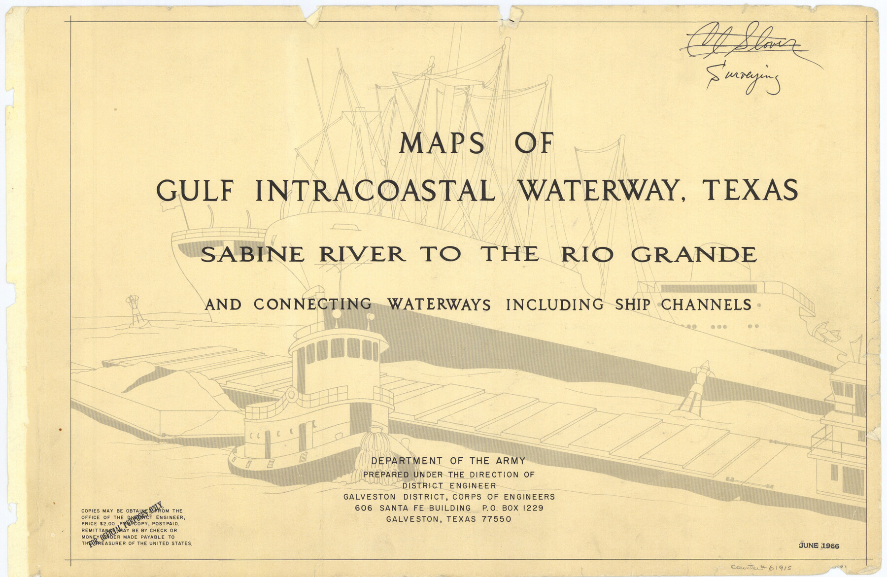
Maps of Gulf Intracoastal Waterway, Texas - Sabine River to the Rio Grande and connecting waterways including ship channels
-
Map/Doc
61915
-
Collection
General Map Collection
-
Object Dates
1966 (Creation Date)
-
Subjects
Intracoastal Waterways
-
Height x Width
14.5 x 22.2 inches
36.8 x 56.4 cm
Part of: General Map Collection
Austin County Sketch File 11

Print $8.00
- Digital $50.00
Austin County Sketch File 11
1895
Size 11.1 x 8.6 inches
Map/Doc 13877
Freestone County

Print $40.00
- Digital $50.00
Freestone County
1988
Size 49.0 x 43.4 inches
Map/Doc 95502
Uvalde County Working Sketch 33

Print $20.00
- Digital $50.00
Uvalde County Working Sketch 33
1963
Size 24.5 x 39.2 inches
Map/Doc 72103
Angelina County Working Sketch 22b

Print $20.00
- Digital $50.00
Angelina County Working Sketch 22b
1953
Size 21.5 x 19.6 inches
Map/Doc 67104
La Salle County Rolled Sketch 2

Print $20.00
- Digital $50.00
La Salle County Rolled Sketch 2
1915
Size 25.2 x 23.2 inches
Map/Doc 6567
Interior de Mexico

Print $20.00
- Digital $50.00
Interior de Mexico
1836
Size 13.5 x 18.0 inches
Map/Doc 97350
Flight Mission No. CRK-3P, Frame 175, Refugio County

Print $20.00
- Digital $50.00
Flight Mission No. CRK-3P, Frame 175, Refugio County
1956
Size 18.6 x 21.7 inches
Map/Doc 86922
Right of Way and Track Map Texas & New Orleans R.R. Co. operated by the T. & N. O. R.R. Co. Dallas-Sabine Branch

Print $40.00
- Digital $50.00
Right of Way and Track Map Texas & New Orleans R.R. Co. operated by the T. & N. O. R.R. Co. Dallas-Sabine Branch
1918
Size 24.3 x 55.9 inches
Map/Doc 64156
Plano General de la Ciudad de Mexico. Levantado Por el Teniente Coronel Don Diego Garcia Conde en el Año de 1793. Aumentado y corregido en lo mas notable Por el Teniente Coronel retirado, Don Rafael Maria Calvo En el de 1830

Print $20.00
- Digital $50.00
Plano General de la Ciudad de Mexico. Levantado Por el Teniente Coronel Don Diego Garcia Conde en el Año de 1793. Aumentado y corregido en lo mas notable Por el Teniente Coronel retirado, Don Rafael Maria Calvo En el de 1830
1793
Size 19.7 x 21.8 inches
Map/Doc 95354
Galveston County Working Sketch 11

Print $20.00
- Digital $50.00
Galveston County Working Sketch 11
1967
Size 17.6 x 16.4 inches
Map/Doc 69348
Loving County State of Texas

Print $20.00
- Digital $50.00
Loving County State of Texas
1889
Size 20.6 x 24.3 inches
Map/Doc 4582
Jeff Davis County Rolled Sketch 22

Print $399.00
- Digital $50.00
Jeff Davis County Rolled Sketch 22
Size 17.2 x 15.8 inches
Map/Doc 6487
You may also like
General Highway Map, Coleman County, Texas

Print $20.00
General Highway Map, Coleman County, Texas
1961
Size 24.6 x 18.3 inches
Map/Doc 79412
Map of Chicago, Rock Island & Texas Railway through Tarrant County, Texas

Print $20.00
- Digital $50.00
Map of Chicago, Rock Island & Texas Railway through Tarrant County, Texas
1893
Size 20.7 x 35.7 inches
Map/Doc 64414
San Jacinto County Rolled Sketch 7

Print $20.00
- Digital $50.00
San Jacinto County Rolled Sketch 7
1940
Size 23.6 x 28.8 inches
Map/Doc 7558
Gulf Intracoastal Waterway - Tributary Channel to Aransas Pass, Location of Spoil Disposal Areas

Print $20.00
- Digital $50.00
Gulf Intracoastal Waterway - Tributary Channel to Aransas Pass, Location of Spoil Disposal Areas
1961
Size 31.5 x 41.9 inches
Map/Doc 61828
Coryell County

Print $20.00
- Digital $50.00
Coryell County
1936
Size 46.8 x 43.4 inches
Map/Doc 1810
Yoakum County Boundary File 1b

Print $2.00
- Digital $50.00
Yoakum County Boundary File 1b
Size 14.4 x 9.0 inches
Map/Doc 60197
Map of McLennan County

Print $40.00
- Digital $50.00
Map of McLennan County
1896
Size 48.8 x 53.7 inches
Map/Doc 7952
Map of Part of Texas Prison System, Blue Ridge State Farm near Camp No. 1 Showing Buildings and Property Lines

Print $20.00
- Digital $50.00
Map of Part of Texas Prison System, Blue Ridge State Farm near Camp No. 1 Showing Buildings and Property Lines
Size 20.3 x 25.4 inches
Map/Doc 62980
Ulyss Dalmont Ranch situated in Gaines Co., Texas, 21316 Acres

Print $20.00
- Digital $50.00
Ulyss Dalmont Ranch situated in Gaines Co., Texas, 21316 Acres
Size 17.6 x 21.8 inches
Map/Doc 90915
Flight Mission No. DIX-5P, Frame 107, Aransas County

Print $20.00
- Digital $50.00
Flight Mission No. DIX-5P, Frame 107, Aransas County
1956
Size 17.6 x 17.8 inches
Map/Doc 83785
Refugio County NRC Article 33.136 Location Key Sheet

Print $20.00
- Digital $50.00
Refugio County NRC Article 33.136 Location Key Sheet
1979
Size 27.3 x 24.0 inches
Map/Doc 88584
