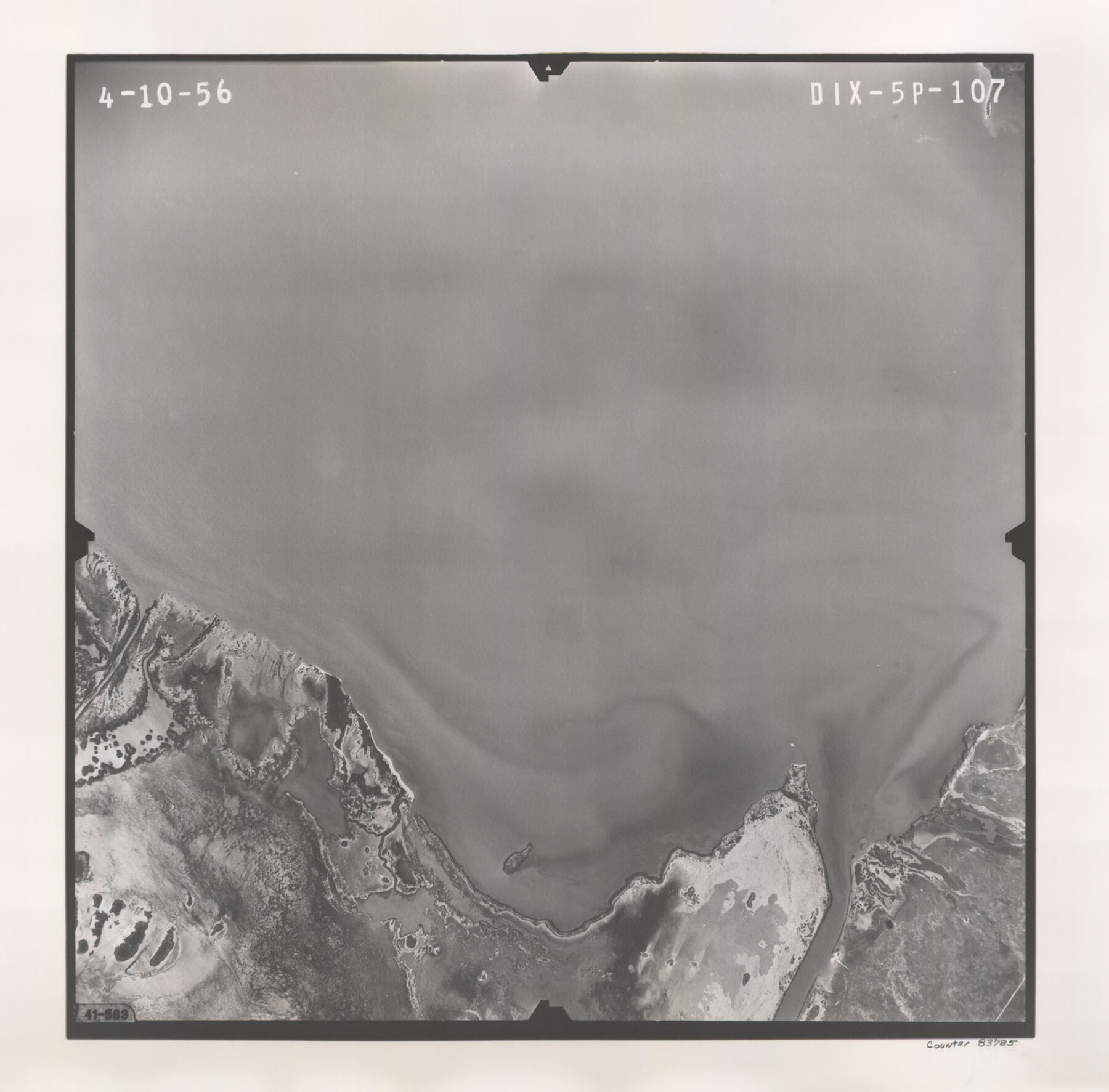
Flight Mission No. DIX-5P, Frame 107, Aransas County
DIX-5P-107
-
Map/Doc
83785
-
Collection
General Map Collection
-
Object Dates
1956/4/10 (Creation Date)
-
People and Organizations
U. S. Department of Agriculture (Publisher)
-
Counties
Aransas
-
Subjects
Aerial Photograph
-
Height x Width
17.6 x 17.8 inches
44.7 x 45.2 cm
-
Comments
Flown by V. L. Beavers and Associates of San Antonio, Texas.
Part of: General Map Collection
[Geological Map of Texas]
![62962, [Geological Map of Texas], General Map Collection](https://historictexasmaps.com/wmedia_w700/maps/62962.tif.jpg)
Print $20.00
- Digital $50.00
[Geological Map of Texas]
Size 17.6 x 18.1 inches
Map/Doc 62962
Zavala County Sketch File 13

Print $4.00
- Digital $50.00
Zavala County Sketch File 13
1891
Size 14.5 x 9.0 inches
Map/Doc 41306
Dallas County Sketch File 2

Print $8.00
- Digital $50.00
Dallas County Sketch File 2
1855
Size 5.6 x 4.5 inches
Map/Doc 20396
Crosby County Rolled Sketch 1A

Print $20.00
- Digital $50.00
Crosby County Rolled Sketch 1A
1950
Size 26.1 x 22.2 inches
Map/Doc 5641
Brewster County Working Sketch 92

Print $40.00
- Digital $50.00
Brewster County Working Sketch 92
1975
Size 61.9 x 39.4 inches
Map/Doc 67692
Flight Mission No. DIX-8P, Frame 62, Aransas County

Print $20.00
- Digital $50.00
Flight Mission No. DIX-8P, Frame 62, Aransas County
1956
Size 18.5 x 22.2 inches
Map/Doc 83893
Wichita County Rolled Sketch 18

Print $20.00
- Digital $50.00
Wichita County Rolled Sketch 18
1924
Size 30.0 x 40.5 inches
Map/Doc 8253
Angelina County Sketch File 1

Print $40.00
- Digital $50.00
Angelina County Sketch File 1
1848
Size 14.9 x 12.7 inches
Map/Doc 12919
Comanche County Sketch File 20

Print $40.00
- Digital $50.00
Comanche County Sketch File 20
Size 15.5 x 12.6 inches
Map/Doc 19103
Mason County Working Sketch 4

Print $20.00
- Digital $50.00
Mason County Working Sketch 4
1932
Size 16.6 x 22.2 inches
Map/Doc 70840
Terrell County Rolled Sketch 37

Print $20.00
- Digital $50.00
Terrell County Rolled Sketch 37
1940
Size 23.8 x 33.3 inches
Map/Doc 7941
Harris County Rolled Sketch 88

Print $20.00
- Digital $50.00
Harris County Rolled Sketch 88
1935
Size 34.4 x 23.0 inches
Map/Doc 6121
You may also like
Current Miscellaneous File 37

Print $4.00
- Digital $50.00
Current Miscellaneous File 37
Size 13.2 x 8.7 inches
Map/Doc 73956
Orange County Working Sketch 25

Print $20.00
- Digital $50.00
Orange County Working Sketch 25
1949
Size 30.7 x 32.6 inches
Map/Doc 71357
Working Sketch in Bastrop County

Print $20.00
- Digital $50.00
Working Sketch in Bastrop County
1923
Size 32.6 x 37.9 inches
Map/Doc 90147
Baylor County Sketch File 20

Print $8.00
- Digital $50.00
Baylor County Sketch File 20
1887
Size 12.9 x 8.2 inches
Map/Doc 14195

Hamilton County Sketch File C

Print $6.00
- Digital $50.00
Hamilton County Sketch File C
Size 12.4 x 11.0 inches
Map/Doc 24950
[Yoakum and Gaines County Line Along Block D in Yoakum and Blocks A6, AX, C35 and C34 in Gaines]
![89691, [Yoakum and Gaines County Line Along Block D in Yoakum and Blocks A6, AX, C35 and C34 in Gaines], Twichell Survey Records](https://historictexasmaps.com/wmedia_w700/maps/89691-1.tif.jpg)
Print $40.00
- Digital $50.00
[Yoakum and Gaines County Line Along Block D in Yoakum and Blocks A6, AX, C35 and C34 in Gaines]
1924
Size 54.9 x 12.3 inches
Map/Doc 89691
Childress County Sketch File 17

Print $8.00
- Digital $50.00
Childress County Sketch File 17
Size 13.0 x 8.2 inches
Map/Doc 18286
Montague County Working Sketch 24

Print $20.00
- Digital $50.00
Montague County Working Sketch 24
1953
Size 21.9 x 27.6 inches
Map/Doc 71090
[Blk. B, Secs. 111-114 and vicinity]
![90340, [Blk. B, Secs. 111-114 and vicinity], Twichell Survey Records](https://historictexasmaps.com/wmedia_w700/maps/90340-1.tif.jpg)
Print $20.00
- Digital $50.00
[Blk. B, Secs. 111-114 and vicinity]
Size 31.3 x 38.7 inches
Map/Doc 90340
Waller County, Texas

Print $20.00
- Digital $50.00
Waller County, Texas
1879
Size 22.8 x 17.7 inches
Map/Doc 764
Rusk County Working Sketch 25

Print $20.00
- Digital $50.00
Rusk County Working Sketch 25
1941
Size 39.8 x 25.1 inches
Map/Doc 63661