[Blk. B, Secs. 111-114 and vicinity]
54-19
-
Map/Doc
90340
-
Collection
Twichell Survey Records
-
Counties
Crosby
-
Height x Width
31.3 x 38.7 inches
79.5 x 98.3 cm
Part of: Twichell Survey Records
Part of Garza, Crosby, Lynn, and Lubbock Counties


Print $20.00
- Digital $50.00
Part of Garza, Crosby, Lynn, and Lubbock Counties
1912
Size 24.7 x 20.4 inches
Map/Doc 91324
[C.C.S.D. & R.G.N.G. RR. Co. Blk. G east thru T.&P. Blk 33]
![89777, [C.C.S.D. & R.G.N.G. RR. Co. Blk. G east thru T.&P. Blk 33], Twichell Survey Records](https://historictexasmaps.com/wmedia_w700/maps/89777-1.tif.jpg)
![89777, [C.C.S.D. & R.G.N.G. RR. Co. Blk. G east thru T.&P. Blk 33], Twichell Survey Records](https://historictexasmaps.com/wmedia_w700/maps/89777-1.tif.jpg)
Print $40.00
- Digital $50.00
[C.C.S.D. & R.G.N.G. RR. Co. Blk. G east thru T.&P. Blk 33]
1901
Size 69.8 x 24.3 inches
Map/Doc 89777
[Blocks 5-T, R-2, M-24, and M-23]
![91149, [Blocks 5-T, R-2, M-24, and M-23], Twichell Survey Records](https://historictexasmaps.com/wmedia_w700/maps/91149-1.tif.jpg)
![91149, [Blocks 5-T, R-2, M-24, and M-23], Twichell Survey Records](https://historictexasmaps.com/wmedia_w700/maps/91149-1.tif.jpg)
Print $20.00
- Digital $50.00
[Blocks 5-T, R-2, M-24, and M-23]
Size 15.5 x 19.7 inches
Map/Doc 91149
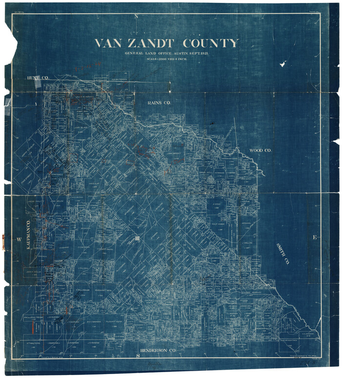
Van Zandt County

Print $40.00
- Digital $50.00
Van Zandt County
1921
Size 43.3 x 48.1 inches
Map/Doc 93124
Cliffside Situated on Section 21, Block 9, Potter County, Texas


Print $2.00
- Digital $50.00
Cliffside Situated on Section 21, Block 9, Potter County, Texas
Size 6.1 x 11.5 inches
Map/Doc 92100
[Sketch showing A. B. & M. Block 2 in Potter and Randall Counties]
![91822, [Sketch showing A. B. & M. Block 2 in Potter and Randall Counties], Twichell Survey Records](https://historictexasmaps.com/wmedia_w700/maps/91822-1.tif.jpg)
![91822, [Sketch showing A. B. & M. Block 2 in Potter and Randall Counties], Twichell Survey Records](https://historictexasmaps.com/wmedia_w700/maps/91822-1.tif.jpg)
Print $20.00
- Digital $50.00
[Sketch showing A. B. & M. Block 2 in Potter and Randall Counties]
1916
Size 27.2 x 33.4 inches
Map/Doc 91822
Sheet 4 copied from Peck Book 6 [Strip Map showing T. & P. connecting lines]
![93170, Sheet 4 copied from Peck Book 6 [Strip Map showing T. & P. connecting lines], Twichell Survey Records](https://historictexasmaps.com/wmedia_w700/maps/93170-1.tif.jpg)
![93170, Sheet 4 copied from Peck Book 6 [Strip Map showing T. & P. connecting lines], Twichell Survey Records](https://historictexasmaps.com/wmedia_w700/maps/93170-1.tif.jpg)
Print $40.00
- Digital $50.00
Sheet 4 copied from Peck Book 6 [Strip Map showing T. & P. connecting lines]
1909
Size 7.0 x 54.8 inches
Map/Doc 93170
[Blocks 3, Q, and Vicinity]
![91276, [Blocks 3, Q, and Vicinity], Twichell Survey Records](https://historictexasmaps.com/wmedia_w700/maps/91276.tif.jpg)
![91276, [Blocks 3, Q, and Vicinity], Twichell Survey Records](https://historictexasmaps.com/wmedia_w700/maps/91276.tif.jpg)
Print $20.00
- Digital $50.00
[Blocks 3, Q, and Vicinity]
Size 19.1 x 9.2 inches
Map/Doc 91276
[Sketch of part of G. & M. Block 5]
![93096, [Sketch of part of G. & M. Block 5], Twichell Survey Records](https://historictexasmaps.com/wmedia_w700/maps/93096-1.tif.jpg)
![93096, [Sketch of part of G. & M. Block 5], Twichell Survey Records](https://historictexasmaps.com/wmedia_w700/maps/93096-1.tif.jpg)
Print $2.00
- Digital $50.00
[Sketch of part of G. & M. Block 5]
Size 8.1 x 9.3 inches
Map/Doc 93096
C B Live Stock Co.'s West-Ranch


Print $2.00
- Digital $50.00
C B Live Stock Co.'s West-Ranch
Size 6.4 x 8.6 inches
Map/Doc 90178
A Part of Blocks 31 and 32 Township 5 North


Print $20.00
- Digital $50.00
A Part of Blocks 31 and 32 Township 5 North
Size 19.6 x 23.8 inches
Map/Doc 92458
[Blocks L. E. and B8]
![90666, [Blocks L. E. and B8], Twichell Survey Records](https://historictexasmaps.com/wmedia_w700/maps/90666-2.tif.jpg)
![90666, [Blocks L. E. and B8], Twichell Survey Records](https://historictexasmaps.com/wmedia_w700/maps/90666-2.tif.jpg)
Print $20.00
- Digital $50.00
[Blocks L. E. and B8]
Size 18.4 x 13.6 inches
Map/Doc 90666
You may also like
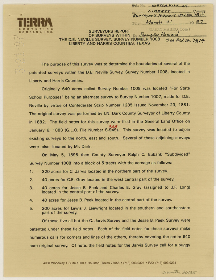
Liberty County Sketch File 67

Print $28.00
- Digital $50.00
Liberty County Sketch File 67
1996
Size 11.3 x 8.8 inches
Map/Doc 30135
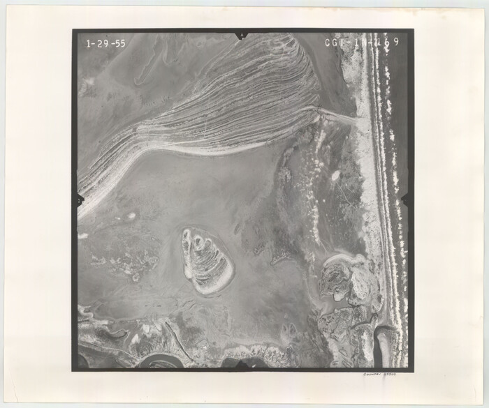
Flight Mission No. CGI-1N, Frame 169, Cameron County

Print $20.00
- Digital $50.00
Flight Mission No. CGI-1N, Frame 169, Cameron County
1955
Size 18.6 x 22.2 inches
Map/Doc 84504
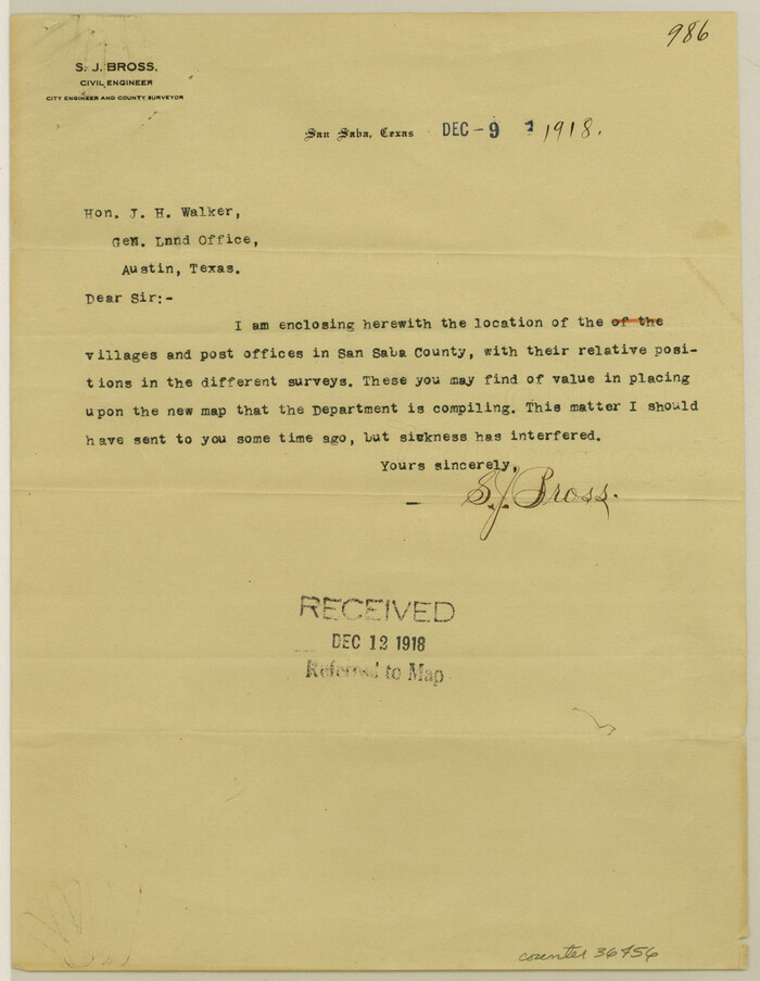
San Saba County Sketch File 17

Print $8.00
- Digital $50.00
San Saba County Sketch File 17
1918
Size 11.4 x 8.8 inches
Map/Doc 36456
Cram's Superior Map of Illinois
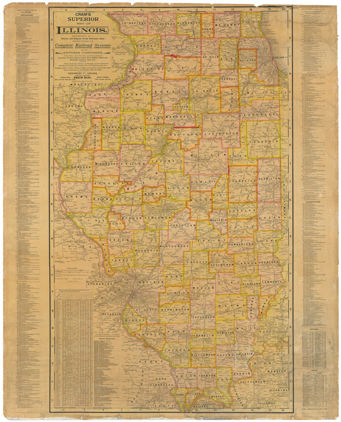

Print $40.00
- Digital $50.00
Cram's Superior Map of Illinois
1903
Size 50.2 x 40.5 inches
Map/Doc 97110
Sutton County Working Sketch 34
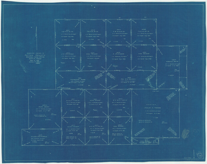

Print $20.00
- Digital $50.00
Sutton County Working Sketch 34
1939
Size 24.3 x 30.6 inches
Map/Doc 62377
Williamson County Boundary File 4

Print $40.00
- Digital $50.00
Williamson County Boundary File 4
Size 8.3 x 13.3 inches
Map/Doc 60013
Concho County Rolled Sketch 3


Print $40.00
- Digital $50.00
Concho County Rolled Sketch 3
1949
Size 67.0 x 46.0 inches
Map/Doc 8648
Brewster County Working Sketch 88
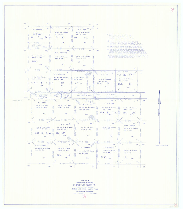

Print $20.00
- Digital $50.00
Brewster County Working Sketch 88
1973
Size 45.2 x 39.6 inches
Map/Doc 67688
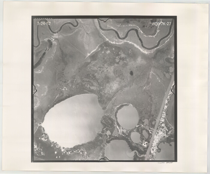
Flight Mission No. BQR-7K, Frame 27, Brazoria County

Print $20.00
- Digital $50.00
Flight Mission No. BQR-7K, Frame 27, Brazoria County
1952
Size 18.6 x 22.3 inches
Map/Doc 84025
Zapata County Sketch File 8


Print $40.00
- Digital $50.00
Zapata County Sketch File 8
1917
Size 59.5 x 26.5 inches
Map/Doc 10438
[Sketch in Reagan, Irion and Tom Green Counties]
![75551, [Sketch in Reagan, Irion and Tom Green Counties], Maddox Collection](https://historictexasmaps.com/wmedia_w700/maps/75551.tif.jpg)
![75551, [Sketch in Reagan, Irion and Tom Green Counties], Maddox Collection](https://historictexasmaps.com/wmedia_w700/maps/75551.tif.jpg)
Print $20.00
- Digital $50.00
[Sketch in Reagan, Irion and Tom Green Counties]
Size 12.5 x 30.1 inches
Map/Doc 75551
Dr. S. C. Arnett Farm Part Section 5, Block E2


Print $20.00
- Digital $50.00
Dr. S. C. Arnett Farm Part Section 5, Block E2
Size 12.7 x 15.8 inches
Map/Doc 92296
![90340, [Blk. B, Secs. 111-114 and vicinity], Twichell Survey Records](https://historictexasmaps.com/wmedia_w1800h1800/maps/90340-1.tif.jpg)