243 results

Sketch of the Designation of Route of the Aransas Channel Harbor & Dock Company's Deep Water Channel
4495-1.tif
Print $3.00 - Digital $50.00

Sketch of the Designation of Route of the Aransas Channel Harbor & Dock Company's Deep Water Channel

Size: 13.2 x 10.0 inches
4495
Gulf Intracoastal Waterway - Aransas Bay to Corpus Christi Bay - Modified Route Main Channel
61904.tif
Print $20.00 - Digital $50.00

Gulf Intracoastal Waterway - Aransas Bay to Corpus Christi Bay - Modified Route Main Channel

Size: 30.9 x 41.9 inches
61904
Intracoastal Waterway, Houma, LA to Corpus Christi, TX
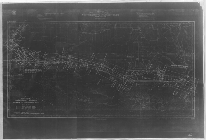
61905.tif
Print $20.00 - Digital $50.00

Intracoastal Waterway, Houma, LA to Corpus Christi, TX
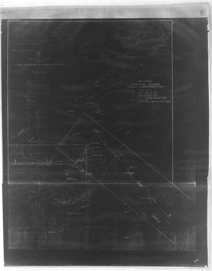
Size: 22.0 x 25.0 inches
61905
Intracoastal Waterway, Houma, LA to Corpus Christi, TX
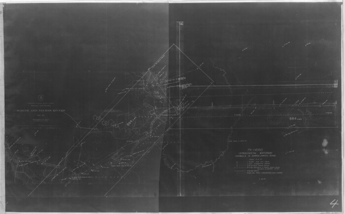
61906.tif
Print $20.00 - Digital $50.00

Intracoastal Waterway, Houma, LA to Corpus Christi, TX
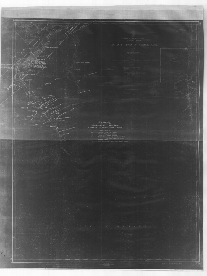
Size: 18.9 x 27.9 inches
61906
Intracoastal Waterway, Houma, LA to Corpus Christi, TX
61907.tif
Print $20.00 - Digital $50.00

Intracoastal Waterway, Houma, LA to Corpus Christi, TX

Size: 26.6 x 20.8 inches
61907
Intracoastal Waterway, Houma, LA to Corpus Christi, TX
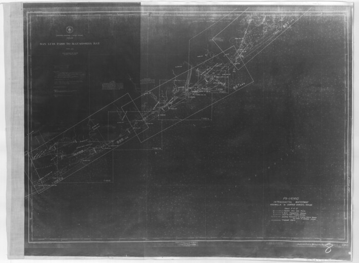
61908.tif
Print $20.00 - Digital $50.00

Intracoastal Waterway, Houma, LA to Corpus Christi, TX

Size: 18.7 x 30.2 inches
61908
Intracoastal Waterway, Houma, LA to Corpus Christi, TX
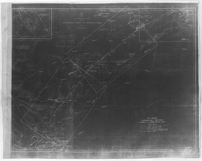
61909.tif
Print $5.00 - Digital $50.00

Intracoastal Waterway, Houma, LA to Corpus Christi, TX

Size: 29.3 x 22.0 inches
61909
Intracoastal Waterway, Houma, LA to Corpus Christi, TX
61910.tif
Print $4.00 - Digital $50.00

Intracoastal Waterway, Houma, LA to Corpus Christi, TX

Size: 23.8 x 22.0 inches
61910
Intracoastal Waterway, Houma, LA to Corpus Christi, TX
61911.tif
Print $5.00 - Digital $50.00

Intracoastal Waterway, Houma, LA to Corpus Christi, TX

Size: 30.0 x 22.0 inches
61911
Intracoastal Waterway, Houma, LA to Corpus Christi, TX
61912.tif
Print $5.00 - Digital $50.00

Intracoastal Waterway, Houma, LA to Corpus Christi, TX

Size: 22.0 x 30.0 inches
61912
Intracoastal Waterway, Houma, LA to Corpus Christi, TX
61913.tif
Print $5.00 - Digital $50.00

Intracoastal Waterway, Houma, LA to Corpus Christi, TX

Size: 22.2 x 29.6 inches
61913
Intracoastal Waterway, Houma, LA to Corpus Christi, TX
61914.tif
Print $5.00 - Digital $50.00

Intracoastal Waterway, Houma, LA to Corpus Christi, TX

Size: 22.3 x 28.0 inches
61914
Current Miscellaneous File 79
74210, Current Miscellaneous File 79, General Map Collection
Print $6.00 - Digital $50.00

Current Miscellaneous File 79

Size: 10.8 x 8.4 inches
74210
Louisiana and Texas Intracoastal Waterway
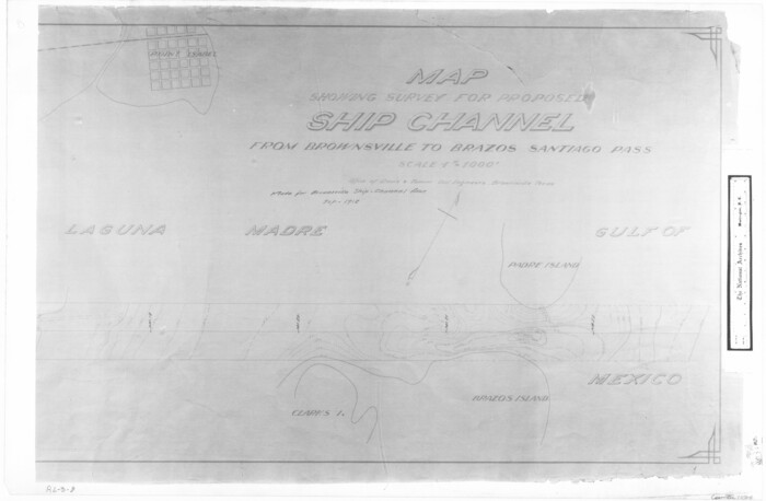
83347.tif
Print $20.00 - Digital $50.00

Louisiana and Texas Intracoastal Waterway

Size: 13.9 x 19.0 inches
83347
Map showing survey for proposed ship channel from Brownsville to Brazos Santiago Pass
72904.tif
Print $20.00 - Digital $50.00

Map showing survey for proposed ship channel from Brownsville to Brazos Santiago Pass

1912

Size: 18.1 x 27.7 inches
72904
Louisiana and Texas Intracoastal Waterway, Sabine River Galveston Bay Section Survey
61838-1.tif
Print $20.00 - Digital $50.00

Louisiana and Texas Intracoastal Waterway, Sabine River Galveston Bay Section Survey

1927

Size: 30.7 x 43.0 inches
61838
Louisiana and Texas Intracoastal Waterway, Section 7, Galveston Bay to Brazos River and Section 8, Brazos River to Matagorda Bay
61839.tif
Print $20.00 - Digital $50.00

Louisiana and Texas Intracoastal Waterway, Section 7, Galveston Bay to Brazos River and Section 8, Brazos River to Matagorda Bay

1928

Size: 30.8 x 42.9 inches
61839
Louisiana and Texas Intracoastal Waterway, Section 7, Galveston Bay to Brazos River and Section 8, Brazos River to Matagorda Bay
61840.tif
Print $20.00 - Digital $50.00

Louisiana and Texas Intracoastal Waterway, Section 7, Galveston Bay to Brazos River and Section 8, Brazos River to Matagorda Bay

1928

Size: 30.7 x 42.9 inches
61840
Louisiana and Texas Intracoastal Waterway, Section 7, Galveston Bay to Brazos River and Section 8, Brazos River to Matagorda Bay
73065.tif
Print $20.00 - Digital $50.00

Louisiana and Texas Intracoastal Waterway, Section 7, Galveston Bay to Brazos River and Section 8, Brazos River to Matagorda Bay

1928
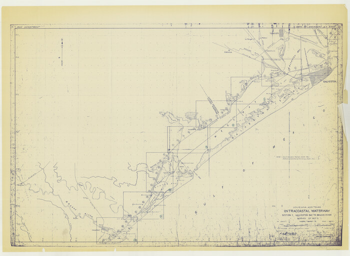
Size: 31.3 x 42.7 inches
73065
Louisiana and Texas Intracoastal Waterway, Section 7, Galveston Bay to Brazos River and Section 8, Brazos River to Matagorda Bay
73063.tif
Print $20.00 - Digital $50.00

Louisiana and Texas Intracoastal Waterway, Section 7, Galveston Bay to Brazos River and Section 8, Brazos River to Matagorda Bay

1928
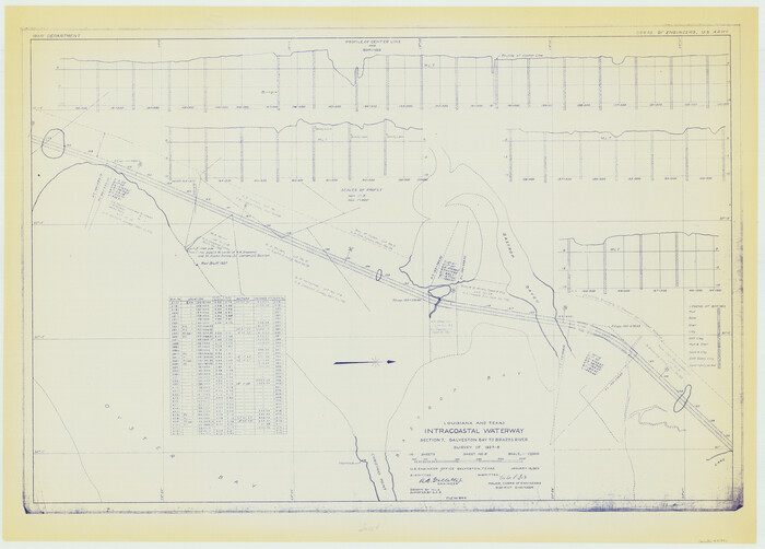
Size: 31.3 x 42.7 inches
73063
Louisiana and Texas Intracoastal Waterway, Section 7, Galveston Bay to Brazos River and Section 8, Brazos River to Matagorda Bay
61842.tif
Print $20.00 - Digital $50.00

Louisiana and Texas Intracoastal Waterway, Section 7, Galveston Bay to Brazos River and Section 8, Brazos River to Matagorda Bay

1929
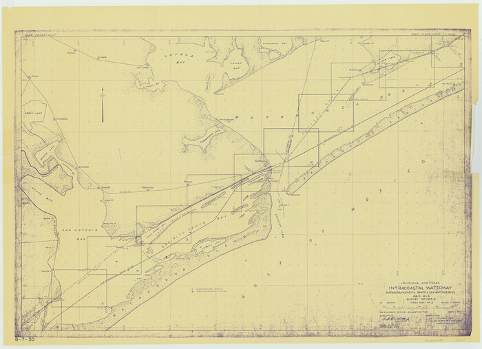
Size: 30.8 x 43.0 inches
61842
Louisiana and Texas Intracoastal Waterway - Matagorda-Espiritu Santo and San Antonio Bays, Section 8-9, Survey of 1927-8 - Index Sheet 3
61837.tif
Print $20.00 - Digital $50.00

Louisiana and Texas Intracoastal Waterway - Matagorda-Espiritu Santo and San Antonio Bays, Section 8-9, Survey of 1927-8 - Index Sheet 3

1929

Size: 31.0 x 42.8 inches
61837
Louisiana and Texas Intracoastal Waterway
83340.tif
Print $20.00 - Digital $50.00

Louisiana and Texas Intracoastal Waterway

1929

Size: 13.8 x 19.7 inches
83340
Louisiana and Texas Intracoastal Waterway
83341.tif
Print $20.00 - Digital $50.00

Louisiana and Texas Intracoastal Waterway

1929
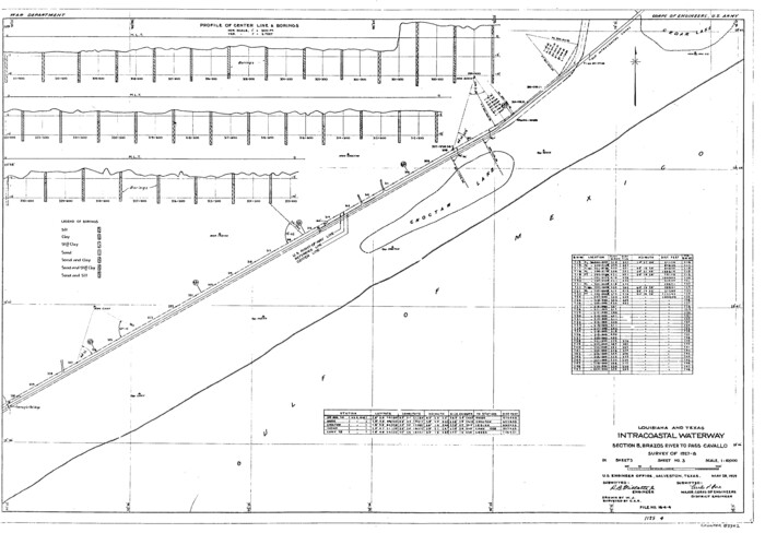
Size: 13.8 x 19.9 inches
83341
Louisiana and Texas Intracoastal Waterway
83342.tif
Print $20.00 - Digital $50.00

Louisiana and Texas Intracoastal Waterway

1929
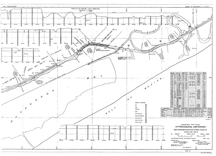
Size: 13.6 x 19.6 inches
83342
Louisiana and Texas Intracoastal Waterway
83343.tif
Print $20.00 - Digital $50.00

Louisiana and Texas Intracoastal Waterway

1929

Size: 13.9 x 19.3 inches
83343
Louisiana and Texas Intracoastal Waterway
83344.tif
Print $20.00 - Digital $50.00

Louisiana and Texas Intracoastal Waterway

1929

Size: 13.7 x 19.0 inches
83344
Louisiana and Texas Intracoastal Waterway
83345.tif
Print $20.00 - Digital $50.00

Louisiana and Texas Intracoastal Waterway

1929

Size: 13.6 x 19.8 inches
83345
Louisiana and Texas Intracoastal Waterway, Section 7, Galveston Bay to Brazos River and Section 8, Brazos River to Matagorda Bay
61841.tif
Print $20.00 - Digital $50.00

Louisiana and Texas Intracoastal Waterway, Section 7, Galveston Bay to Brazos River and Section 8, Brazos River to Matagorda Bay

1929
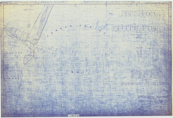
Size: 30.8 x 43.0 inches
61841
Intracoastal Waterway in Texas - Corpus Christi to Point Isabel including Arroyo Colorado to Mo. Pac. R.R. Bridge Near Harlingen
61844.tif
Print $20.00 - Digital $50.00

Intracoastal Waterway in Texas - Corpus Christi to Point Isabel including Arroyo Colorado to Mo. Pac. R.R. Bridge Near Harlingen

1933

Size: 28.1 x 41.0 inches
61844
Sketch of the Designation of Route of the Aransas Channel Harbor & Dock Company's Deep Water Channel
4495, Sketch of the Designation of Route of the Aransas Channel Harbor & Dock Company's Deep Water Channel, Maddox Collection
Print $3.00 - Digital $50.00

Sketch of the Designation of Route of the Aransas Channel Harbor & Dock Company's Deep Water Channel

  • Size

    13.2 x 10.0 inches

  • Map/Doc

    4495

Gulf Intracoastal Waterway - Aransas Bay to Corpus Christi Bay - Modified Route Main Channel
61904, Gulf Intracoastal Waterway - Aransas Bay to Corpus Christi Bay - Modified Route Main Channel, General Map Collection
Print $20.00 - Digital $50.00

Gulf Intracoastal Waterway - Aransas Bay to Corpus Christi Bay - Modified Route Main Channel

  • Size

    30.9 x 41.9 inches

  • Map/Doc

    61904

Intracoastal Waterway, Houma, LA to Corpus Christi, TX
61905, Intracoastal Waterway, Houma, LA to Corpus Christi, TX, General Map Collection
Print $20.00 - Digital $50.00

Intracoastal Waterway, Houma, LA to Corpus Christi, TX

  • Size

    22.0 x 25.0 inches

  • Map/Doc

    61905

Intracoastal Waterway, Houma, LA to Corpus Christi, TX
61906, Intracoastal Waterway, Houma, LA to Corpus Christi, TX, General Map Collection
Print $20.00 - Digital $50.00

Intracoastal Waterway, Houma, LA to Corpus Christi, TX

  • Size

    18.9 x 27.9 inches

  • Map/Doc

    61906

Intracoastal Waterway, Houma, LA to Corpus Christi, TX
61907, Intracoastal Waterway, Houma, LA to Corpus Christi, TX, General Map Collection
Print $20.00 - Digital $50.00

Intracoastal Waterway, Houma, LA to Corpus Christi, TX

  • Size

    26.6 x 20.8 inches

  • Map/Doc

    61907

Intracoastal Waterway, Houma, LA to Corpus Christi, TX
61908, Intracoastal Waterway, Houma, LA to Corpus Christi, TX, General Map Collection
Print $20.00 - Digital $50.00

Intracoastal Waterway, Houma, LA to Corpus Christi, TX

  • Size

    18.7 x 30.2 inches

  • Map/Doc

    61908

Intracoastal Waterway, Houma, LA to Corpus Christi, TX
61909, Intracoastal Waterway, Houma, LA to Corpus Christi, TX, General Map Collection
Print $5.00 - Digital $50.00

Intracoastal Waterway, Houma, LA to Corpus Christi, TX

  • Size

    29.3 x 22.0 inches

  • Map/Doc

    61909

Intracoastal Waterway, Houma, LA to Corpus Christi, TX
61910, Intracoastal Waterway, Houma, LA to Corpus Christi, TX, General Map Collection
Print $4.00 - Digital $50.00

Intracoastal Waterway, Houma, LA to Corpus Christi, TX

  • Size

    23.8 x 22.0 inches

  • Map/Doc

    61910

Intracoastal Waterway, Houma, LA to Corpus Christi, TX
61911, Intracoastal Waterway, Houma, LA to Corpus Christi, TX, General Map Collection
Print $5.00 - Digital $50.00

Intracoastal Waterway, Houma, LA to Corpus Christi, TX

  • Size

    30.0 x 22.0 inches

  • Map/Doc

    61911

Intracoastal Waterway, Houma, LA to Corpus Christi, TX
61912, Intracoastal Waterway, Houma, LA to Corpus Christi, TX, General Map Collection
Print $5.00 - Digital $50.00

Intracoastal Waterway, Houma, LA to Corpus Christi, TX

  • Size

    22.0 x 30.0 inches

  • Map/Doc

    61912

Intracoastal Waterway, Houma, LA to Corpus Christi, TX
61913, Intracoastal Waterway, Houma, LA to Corpus Christi, TX, General Map Collection
Print $5.00 - Digital $50.00

Intracoastal Waterway, Houma, LA to Corpus Christi, TX

  • Size

    22.2 x 29.6 inches

  • Map/Doc

    61913

Intracoastal Waterway, Houma, LA to Corpus Christi, TX
61914, Intracoastal Waterway, Houma, LA to Corpus Christi, TX, General Map Collection
Print $5.00 - Digital $50.00

Intracoastal Waterway, Houma, LA to Corpus Christi, TX

  • Size

    22.3 x 28.0 inches

  • Map/Doc

    61914

Current Miscellaneous File 79
74210, Current Miscellaneous File 79, General Map Collection
Print $6.00 - Digital $50.00

Current Miscellaneous File 79

  • Size

    10.8 x 8.4 inches

  • Map/Doc

    74210

Louisiana and Texas Intracoastal Waterway
83347, Louisiana and Texas Intracoastal Waterway, General Map Collection
Print $20.00 - Digital $50.00

Louisiana and Texas Intracoastal Waterway

  • Size

    13.9 x 19.0 inches

  • Map/Doc

    83347

Map showing survey for proposed ship channel from Brownsville to Brazos Santiago Pass
72904, Map showing survey for proposed ship channel from Brownsville to Brazos Santiago Pass, General Map Collection
Print $20.00 - Digital $50.00

Map showing survey for proposed ship channel from Brownsville to Brazos Santiago Pass

1912

  • Size

    18.1 x 27.7 inches

  • Map/Doc

    72904

  • Creation Date

    1912

Louisiana and Texas Intracoastal Waterway, Sabine River Galveston Bay Section Survey
61838, Louisiana and Texas Intracoastal Waterway, Sabine River Galveston Bay Section Survey, General Map Collection
Print $20.00 - Digital $50.00

Louisiana and Texas Intracoastal Waterway, Sabine River Galveston Bay Section Survey

1927

  • Size

    30.7 x 43.0 inches

  • Map/Doc

    61838

  • Creation Date

    1927

Louisiana and Texas Intracoastal Waterway, Section 7, Galveston Bay to Brazos River and Section 8, Brazos River to Matagorda Bay
61839, Louisiana and Texas Intracoastal Waterway, Section 7, Galveston Bay to Brazos River and Section 8, Brazos River to Matagorda Bay, General Map Collection
Print $20.00 - Digital $50.00

Louisiana and Texas Intracoastal Waterway, Section 7, Galveston Bay to Brazos River and Section 8, Brazos River to Matagorda Bay

1928

  • Size

    30.8 x 42.9 inches

  • Map/Doc

    61839

  • Creation Date

    1928

Louisiana and Texas Intracoastal Waterway, Section 7, Galveston Bay to Brazos River and Section 8, Brazos River to Matagorda Bay
61840, Louisiana and Texas Intracoastal Waterway, Section 7, Galveston Bay to Brazos River and Section 8, Brazos River to Matagorda Bay, General Map Collection
Print $20.00 - Digital $50.00

Louisiana and Texas Intracoastal Waterway, Section 7, Galveston Bay to Brazos River and Section 8, Brazos River to Matagorda Bay

1928

  • Size

    30.7 x 42.9 inches

  • Map/Doc

    61840

  • Creation Date

    1928

Louisiana and Texas Intracoastal Waterway, Section 7, Galveston Bay to Brazos River and Section 8, Brazos River to Matagorda Bay
73065, Louisiana and Texas Intracoastal Waterway, Section 7, Galveston Bay to Brazos River and Section 8, Brazos River to Matagorda Bay, General Map Collection
Print $20.00 - Digital $50.00

Louisiana and Texas Intracoastal Waterway, Section 7, Galveston Bay to Brazos River and Section 8, Brazos River to Matagorda Bay

1928

  • Size

    31.3 x 42.7 inches

  • Map/Doc

    73065

  • Creation Date

    1928

Louisiana and Texas Intracoastal Waterway, Section 7, Galveston Bay to Brazos River and Section 8, Brazos River to Matagorda Bay
73063, Louisiana and Texas Intracoastal Waterway, Section 7, Galveston Bay to Brazos River and Section 8, Brazos River to Matagorda Bay, General Map Collection
Print $20.00 - Digital $50.00

Louisiana and Texas Intracoastal Waterway, Section 7, Galveston Bay to Brazos River and Section 8, Brazos River to Matagorda Bay

1928

  • Size

    31.3 x 42.7 inches

  • Map/Doc

    73063

  • Creation Date

    1928

Louisiana and Texas Intracoastal Waterway, Section 7, Galveston Bay to Brazos River and Section 8, Brazos River to Matagorda Bay
61842, Louisiana and Texas Intracoastal Waterway, Section 7, Galveston Bay to Brazos River and Section 8, Brazos River to Matagorda Bay, General Map Collection
Print $20.00 - Digital $50.00

Louisiana and Texas Intracoastal Waterway, Section 7, Galveston Bay to Brazos River and Section 8, Brazos River to Matagorda Bay

1929

  • Size

    30.8 x 43.0 inches

  • Map/Doc

    61842

  • Creation Date

    1929

Louisiana and Texas Intracoastal Waterway - Matagorda-Espiritu Santo and San Antonio Bays, Section 8-9, Survey of 1927-8 - Index Sheet 3
61837, Louisiana and Texas Intracoastal Waterway - Matagorda-Espiritu Santo and San Antonio Bays, Section 8-9, Survey of 1927-8 - Index Sheet 3, General Map Collection
Print $20.00 - Digital $50.00

Louisiana and Texas Intracoastal Waterway - Matagorda-Espiritu Santo and San Antonio Bays, Section 8-9, Survey of 1927-8 - Index Sheet 3

1929

  • Size

    31.0 x 42.8 inches

  • Map/Doc

    61837

  • Creation Date

    1929

Louisiana and Texas Intracoastal Waterway
83340, Louisiana and Texas Intracoastal Waterway, General Map Collection
Print $20.00 - Digital $50.00

Louisiana and Texas Intracoastal Waterway

1929

  • Size

    13.8 x 19.7 inches

  • Map/Doc

    83340

  • Creation Date

    1929

Louisiana and Texas Intracoastal Waterway
83341, Louisiana and Texas Intracoastal Waterway, General Map Collection
Print $20.00 - Digital $50.00

Louisiana and Texas Intracoastal Waterway

1929

  • Size

    13.8 x 19.9 inches

  • Map/Doc

    83341

  • Creation Date

    1929

Louisiana and Texas Intracoastal Waterway
83342, Louisiana and Texas Intracoastal Waterway, General Map Collection
Print $20.00 - Digital $50.00

Louisiana and Texas Intracoastal Waterway

1929

  • Size

    13.6 x 19.6 inches

  • Map/Doc

    83342

  • Creation Date

    1929

Louisiana and Texas Intracoastal Waterway
83343, Louisiana and Texas Intracoastal Waterway, General Map Collection
Print $20.00 - Digital $50.00

Louisiana and Texas Intracoastal Waterway

1929

  • Size

    13.9 x 19.3 inches

  • Map/Doc

    83343

  • Creation Date

    1929

Louisiana and Texas Intracoastal Waterway
83344, Louisiana and Texas Intracoastal Waterway, General Map Collection
Print $20.00 - Digital $50.00

Louisiana and Texas Intracoastal Waterway

1929

  • Size

    13.7 x 19.0 inches

  • Map/Doc

    83344

  • Creation Date

    1929

Louisiana and Texas Intracoastal Waterway
83345, Louisiana and Texas Intracoastal Waterway, General Map Collection
Print $20.00 - Digital $50.00

Louisiana and Texas Intracoastal Waterway

1929

  • Size

    13.6 x 19.8 inches

  • Map/Doc

    83345

  • Creation Date

    1929

Louisiana and Texas Intracoastal Waterway, Section 7, Galveston Bay to Brazos River and Section 8, Brazos River to Matagorda Bay
61841, Louisiana and Texas Intracoastal Waterway, Section 7, Galveston Bay to Brazos River and Section 8, Brazos River to Matagorda Bay, General Map Collection
Print $20.00 - Digital $50.00

Louisiana and Texas Intracoastal Waterway, Section 7, Galveston Bay to Brazos River and Section 8, Brazos River to Matagorda Bay

1929

  • Size

    30.8 x 43.0 inches

  • Map/Doc

    61841

  • Creation Date

    1929

Intracoastal Waterway in Texas - Corpus Christi to Point Isabel including Arroyo Colorado to Mo. Pac. R.R. Bridge Near Harlingen
61844, Intracoastal Waterway in Texas - Corpus Christi to Point Isabel including Arroyo Colorado to Mo. Pac. R.R. Bridge Near Harlingen, General Map Collection
Print $20.00 - Digital $50.00

Intracoastal Waterway in Texas - Corpus Christi to Point Isabel including Arroyo Colorado to Mo. Pac. R.R. Bridge Near Harlingen

1933

  • Size

    28.1 x 41.0 inches

  • Map/Doc

    61844

  • Creation Date

    1933