Maps of Gulf Intracoastal Waterway, Texas - Sabine River to the Rio Grande and connecting waterways including ship channels
-
Map/Doc
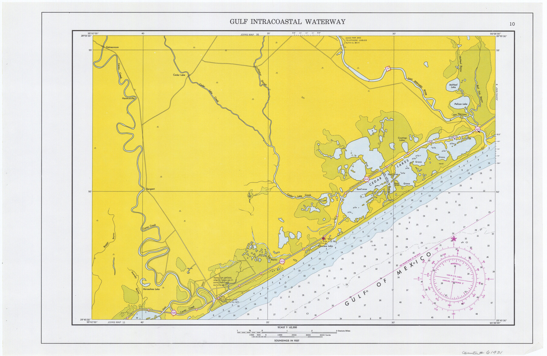
61931
-
Collection
General Map Collection
-
Object Dates
1966 (Creation Date)
-
Subjects
Intracoastal Waterways
-
Height x Width
14.5 x 22.2 inches
36.8 x 56.4 cm
Part of: General Map Collection
Controlled Mosaic by Jack Amman Photogrammetric Engineers, Inc - Sheet 23

Print $20.00
- Digital $50.00
Controlled Mosaic by Jack Amman Photogrammetric Engineers, Inc - Sheet 23
1954
Size 20.0 x 24.0 inches
Map/Doc 83472
Flight Mission No. BRA-9M, Frame 63, Jefferson County

Print $20.00
- Digital $50.00
Flight Mission No. BRA-9M, Frame 63, Jefferson County
1953
Size 18.6 x 22.4 inches
Map/Doc 85646
Harbor Pass and Bar at Brazos Santiago, Texas

Print $20.00
- Digital $50.00
Harbor Pass and Bar at Brazos Santiago, Texas
1871
Size 18.4 x 27.4 inches
Map/Doc 73039
Flight Mission No. CLL-4N, Frame 39, Willacy County

Print $20.00
- Digital $50.00
Flight Mission No. CLL-4N, Frame 39, Willacy County
1954
Size 18.3 x 22.0 inches
Map/Doc 87112
Edwards County Sketch File ABC

Print $12.00
- Digital $50.00
Edwards County Sketch File ABC
1913
Size 14.5 x 9.1 inches
Map/Doc 21662
Crockett County Sketch File 4a

Print $20.00
- Digital $50.00
Crockett County Sketch File 4a
Size 28.1 x 8.2 inches
Map/Doc 11215
Hockley County

Print $20.00
- Digital $50.00
Hockley County
1914
Size 27.4 x 22.8 inches
Map/Doc 4686
Starr County Sketch File 22

Print $20.00
- Digital $50.00
Starr County Sketch File 22
1922
Size 16.4 x 35.9 inches
Map/Doc 12331
Map of Shackelford County

Print $20.00
- Digital $50.00
Map of Shackelford County
1895
Size 24.1 x 19.5 inches
Map/Doc 4026
Mason County Rolled Sketch 7

Print $20.00
- Digital $50.00
Mason County Rolled Sketch 7
1986
Size 24.3 x 20.3 inches
Map/Doc 6679
Hamilton County Working Sketch 26

Print $20.00
- Digital $50.00
Hamilton County Working Sketch 26
1964
Size 22.8 x 29.6 inches
Map/Doc 63364
Controlled Mosaic by Jack Amman Photogrammetric Engineers, Inc - Sheet 37

Print $20.00
- Digital $50.00
Controlled Mosaic by Jack Amman Photogrammetric Engineers, Inc - Sheet 37
1954
Size 20.0 x 24.0 inches
Map/Doc 83492
You may also like
Brewster County Rolled Sketch 114

Print $20.00
- Digital $50.00
Brewster County Rolled Sketch 114
1964
Size 11.7 x 17.9 inches
Map/Doc 5288
Dinsmore & Company's New and Complete Map of the Railway System of the United States and Canada compiled from official sources, under the direction of the editor of the "American Railway Guide"

Print $20.00
- Digital $50.00
Dinsmore & Company's New and Complete Map of the Railway System of the United States and Canada compiled from official sources, under the direction of the editor of the "American Railway Guide"
1855
Size 16.3 x 20.4 inches
Map/Doc 95903
Map of Ramon Musquiz Survey, Meanders of Lavaca & Navidad Rivers, Menefee & Redfish Lakes

Print $20.00
- Digital $50.00
Map of Ramon Musquiz Survey, Meanders of Lavaca & Navidad Rivers, Menefee & Redfish Lakes
1934
Size 23.0 x 18.6 inches
Map/Doc 65456
Franklin County Working Sketch 3

Print $20.00
- Digital $50.00
Franklin County Working Sketch 3
1956
Size 19.5 x 16.1 inches
Map/Doc 69241
Hamilton County Working Sketch 23

Print $20.00
- Digital $50.00
Hamilton County Working Sketch 23
1955
Size 23.5 x 31.2 inches
Map/Doc 63361
[Coastal Chart of Galveston Island, Bolivar Peninsula and Galveston Bay]
![61804, [Coastal Chart of Galveston Island, Bolivar Peninsula and Galveston Bay], General Map Collection](https://historictexasmaps.com/wmedia_w700/maps/61804.tif.jpg)
Print $20.00
- Digital $50.00
[Coastal Chart of Galveston Island, Bolivar Peninsula and Galveston Bay]
Size 24.0 x 18.1 inches
Map/Doc 61804
Midland County Working Sketch 23

Print $40.00
- Digital $50.00
Midland County Working Sketch 23
1956
Size 45.0 x 75.6 inches
Map/Doc 71004
Presidio County Sketch File 44

Print $15.00
- Digital $50.00
Presidio County Sketch File 44
1913
Size 11.1 x 9.5 inches
Map/Doc 34525
Medina County Working Sketch 17

Print $20.00
- Digital $50.00
Medina County Working Sketch 17
1979
Size 26.8 x 34.5 inches
Map/Doc 70932
North Part of Brewster Co.

Print $20.00
- Digital $50.00
North Part of Brewster Co.
1956
Size 42.1 x 40.2 inches
Map/Doc 73088
Petersburg, Hale County, Texas

Print $20.00
- Digital $50.00
Petersburg, Hale County, Texas
1927
Size 16.1 x 28.4 inches
Map/Doc 92699
Galveston County Sketch File 66

Print $116.00
- Digital $50.00
Galveston County Sketch File 66
Size 5.0 x 10.0 inches
Map/Doc 23751