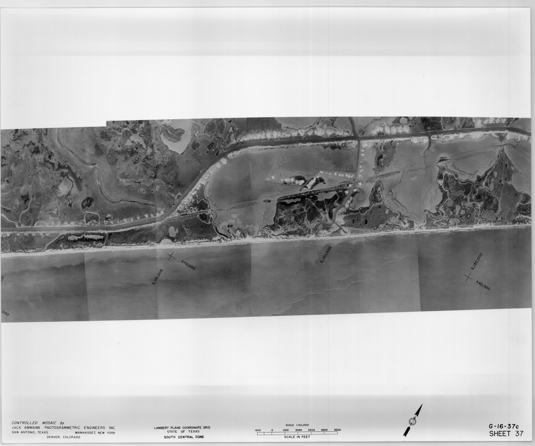
Controlled Mosaic by Jack Amman Photogrammetric Engineers, Inc - Sheet 37
[Coastal Aerial Photograph]
G-16-37a-c
-
Map/Doc
83492
-
Collection
General Map Collection
-
Object Dates
1954 (Creation Date)
-
Subjects
Aerial Photograph
-
Height x Width
20.0 x 24.0 inches
50.8 x 61.0 cm
-
Comments
Statement on reverse side: "The reverse reflects the data shown thereon which was obtained by aerial survey made from December 31, 1953 to March 17, 1954 by Jack Ammann Photogrammetric Engineers, Inc."
Part of: General Map Collection
Hall County Sketch File 32a

Print $56.00
- Digital $50.00
Hall County Sketch File 32a
1911
Size 14.4 x 8.6 inches
Map/Doc 24846
Map of Jack County

Print $20.00
- Digital $50.00
Map of Jack County
Size 18.7 x 15.9 inches
Map/Doc 3703
Wheeler County Boundary File 1b

Print $2.00
- Digital $50.00
Wheeler County Boundary File 1b
Size 12.3 x 8.8 inches
Map/Doc 59869
Montgomery County Working Sketch 21

Print $20.00
- Digital $50.00
Montgomery County Working Sketch 21
1936
Size 16.4 x 37.0 inches
Map/Doc 71128
Galveston to Rio Grande

Print $20.00
- Digital $50.00
Galveston to Rio Grande
1946
Size 44.6 x 36.6 inches
Map/Doc 69952
Cherokee County Sketch File 11

Print $4.00
- Digital $50.00
Cherokee County Sketch File 11
1852
Size 11.5 x 8.2 inches
Map/Doc 18138
Flight Mission No. DQN-5K, Frame 144, Calhoun County

Print $20.00
- Digital $50.00
Flight Mission No. DQN-5K, Frame 144, Calhoun County
1953
Size 18.6 x 22.3 inches
Map/Doc 84419
Fractional Township No. 10 South Range No. 27 East of the Indian Meridian, Indian Territory

Print $20.00
- Digital $50.00
Fractional Township No. 10 South Range No. 27 East of the Indian Meridian, Indian Territory
1897
Size 19.2 x 24.3 inches
Map/Doc 75246
Aransas County NRC Article 33.136 Sketch 6

Print $23.00
- Digital $50.00
Aransas County NRC Article 33.136 Sketch 6
2005
Size 25.1 x 36.4 inches
Map/Doc 83522
Williamson County Boundary File 2

Print $40.00
- Digital $50.00
Williamson County Boundary File 2
Size 9.0 x 4.2 inches
Map/Doc 59992
[Surveys between the Little River and Darr's Creek]
![69757, [Surveys between the Little River and Darr's Creek], General Map Collection](https://historictexasmaps.com/wmedia_w700/maps/69757.tif.jpg)
Print $2.00
- Digital $50.00
[Surveys between the Little River and Darr's Creek]
1846
Size 7.6 x 7.9 inches
Map/Doc 69757
Liberty County Working Sketch 32

Print $20.00
- Digital $50.00
Liberty County Working Sketch 32
1945
Size 29.1 x 46.3 inches
Map/Doc 70491
You may also like
Rusk County Rolled Sketch 3

Print $20.00
- Digital $50.00
Rusk County Rolled Sketch 3
Size 21.8 x 38.2 inches
Map/Doc 7542
[Gulf Coast of Texas]
![72704, [Gulf Coast of Texas], General Map Collection](https://historictexasmaps.com/wmedia_w700/maps/72704.tif.jpg)
Print $20.00
- Digital $50.00
[Gulf Coast of Texas]
1881
Size 28.7 x 18.2 inches
Map/Doc 72704
Terrell County Working Sketch 44

Print $40.00
- Digital $50.00
Terrell County Working Sketch 44
1957
Size 40.0 x 71.4 inches
Map/Doc 62137
Borden and Garza County Boundary Line Plat

Print $2.00
- Digital $50.00
Borden and Garza County Boundary Line Plat
1965
Size 14.2 x 8.8 inches
Map/Doc 61152
Howard County Working Sketch 11

Print $20.00
- Digital $50.00
Howard County Working Sketch 11
1962
Size 20.5 x 20.3 inches
Map/Doc 66279
Matagorda Light to Aransas Pass

Print $20.00
- Digital $50.00
Matagorda Light to Aransas Pass
1924
Size 35.9 x 44.6 inches
Map/Doc 73391
Young County Boundary File 98

Print $12.00
- Digital $50.00
Young County Boundary File 98
Size 8.8 x 7.5 inches
Map/Doc 60205
Aransas County Working Sketch 10

Print $20.00
- Digital $50.00
Aransas County Working Sketch 10
1947
Size 44.1 x 40.4 inches
Map/Doc 67177
Outer Continental Shelf Leasing Maps (Texas Offshore Operations)

Print $20.00
- Digital $50.00
Outer Continental Shelf Leasing Maps (Texas Offshore Operations)
1954
Size 16.2 x 15.7 inches
Map/Doc 75837
Nautical Chart 518-SC: Galveston Bay Entrance

Print $20.00
- Digital $50.00
Nautical Chart 518-SC: Galveston Bay Entrance
1971
Size 19.2 x 19.1 inches
Map/Doc 75909
Map of Surveys made in Fisher and Miller's Colony

Print $40.00
- Digital $50.00
Map of Surveys made in Fisher and Miller's Colony
1848
Size 48.4 x 57.7 inches
Map/Doc 16830
Jim Wells County Working Sketch 9

Print $20.00
- Digital $50.00
Jim Wells County Working Sketch 9
1948
Size 34.1 x 38.9 inches
Map/Doc 66607