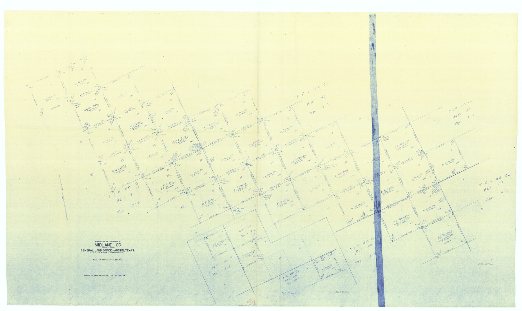
Midland County Working Sketch 23
-
Map/Doc
71004
-
Collection
General Map Collection
-
Object Dates
11/8/1956 (Creation Date)
-
People and Organizations
Otto G. Kurio (Draftsman)
-
Counties
Midland
-
Subjects
Surveying Working Sketch
-
Height x Width
45.0 x 75.6 inches
114.3 x 192.0 cm
-
Scale
1" = 400 varas
Part of: General Map Collection
Hunt County Sketch File A

Print $4.00
- Digital $50.00
Hunt County Sketch File A
1884
Size 14.4 x 8.3 inches
Map/Doc 27170
Coast Chart No. 210 Aransas Pass and Corpus Christi Bay with the coast to latitude 27° 12' Texas

Print $20.00
- Digital $50.00
Coast Chart No. 210 Aransas Pass and Corpus Christi Bay with the coast to latitude 27° 12' Texas
1887
Size 27.9 x 18.2 inches
Map/Doc 72791
Donley County Sketch File B6

Print $20.00
- Digital $50.00
Donley County Sketch File B6
1919
Size 16.5 x 14.6 inches
Map/Doc 11376
Bastrop County Sketch File 4

Print $4.00
- Digital $50.00
Bastrop County Sketch File 4
1873
Size 12.7 x 7.9 inches
Map/Doc 14046
Map of Nolan County

Print $20.00
- Digital $50.00
Map of Nolan County
1896
Size 28.8 x 23.5 inches
Map/Doc 3915
Potter County Sketch File 4

Print $10.00
- Digital $50.00
Potter County Sketch File 4
1882
Size 14.1 x 8.6 inches
Map/Doc 34382

Runnels County Rolled Sketch 53

Print $20.00
- Digital $50.00
Runnels County Rolled Sketch 53
Size 33.1 x 31.1 inches
Map/Doc 7538
Culberson County Sketch File 44

Print $57.00
- Digital $50.00
Culberson County Sketch File 44
1968
Size 11.4 x 8.9 inches
Map/Doc 20331
Johnson County Working Sketch 7

Print $20.00
- Digital $50.00
Johnson County Working Sketch 7
1951
Size 23.0 x 21.3 inches
Map/Doc 66620
Brewster County Rolled Sketch 65

Print $40.00
- Digital $50.00
Brewster County Rolled Sketch 65
1940
Size 57.0 x 38.8 inches
Map/Doc 8489
Map of the Lands Surveyed by the Memphis, El Paso & Pacific R.R. Company

Print $20.00
- Digital $50.00
Map of the Lands Surveyed by the Memphis, El Paso & Pacific R.R. Company
1860
Size 16.7 x 24.7 inches
Map/Doc 4845
You may also like
San Patricio County Working Sketch 10

Print $20.00
- Digital $50.00
San Patricio County Working Sketch 10
1939
Size 28.1 x 32.6 inches
Map/Doc 63772
Knox County Boundary File 4

Print $7.00
- Digital $50.00
Knox County Boundary File 4
Size 17.0 x 11.0 inches
Map/Doc 65037
Burnet County Working Sketch 20

Print $40.00
- Digital $50.00
Burnet County Working Sketch 20
1983
Size 48.1 x 41.2 inches
Map/Doc 67863
Concho County Sketch File 21

Print $6.00
- Digital $50.00
Concho County Sketch File 21
Size 7.3 x 11.1 inches
Map/Doc 19143
Map of South Boundary Line of Hartley County

Print $20.00
- Digital $50.00
Map of South Boundary Line of Hartley County
Size 26.3 x 8.2 inches
Map/Doc 90685
Crockett County Working Sketch 37

Print $20.00
- Digital $50.00
Crockett County Working Sketch 37
1927
Size 30.5 x 24.4 inches
Map/Doc 68370
Galveston County Sketch File 13

Print $20.00
- Digital $50.00
Galveston County Sketch File 13
Size 16.2 x 12.5 inches
Map/Doc 11530
Jasper County Working Sketch 2

Print $20.00
- Digital $50.00
Jasper County Working Sketch 2
Size 18.6 x 22.5 inches
Map/Doc 66464
[Reconnaissance report of Lieut. Scariott around Laguna del Madre and up to Fort San Saba]
![73006, [Reconnaissance report of Lieut. Scariott around Laguna del Madre and up to Fort San Saba], General Map Collection](https://historictexasmaps.com/wmedia_w700/maps/73006.tif.jpg)
Print $20.00
- Digital $50.00
[Reconnaissance report of Lieut. Scariott around Laguna del Madre and up to Fort San Saba]
Size 25.2 x 18.2 inches
Map/Doc 73006
Dimmit County Sketch File 31

Print $20.00
- Digital $50.00
Dimmit County Sketch File 31
1894
Size 12.7 x 17.3 inches
Map/Doc 11352
Throckmorton County Rolled Sketch 3B

Print $20.00
- Digital $50.00
Throckmorton County Rolled Sketch 3B
Size 31.3 x 37.9 inches
Map/Doc 7988
Runnels County Rolled Sketch 29

Print $20.00
- Digital $50.00
Runnels County Rolled Sketch 29
1928
Size 19.6 x 37.0 inches
Map/Doc 7517