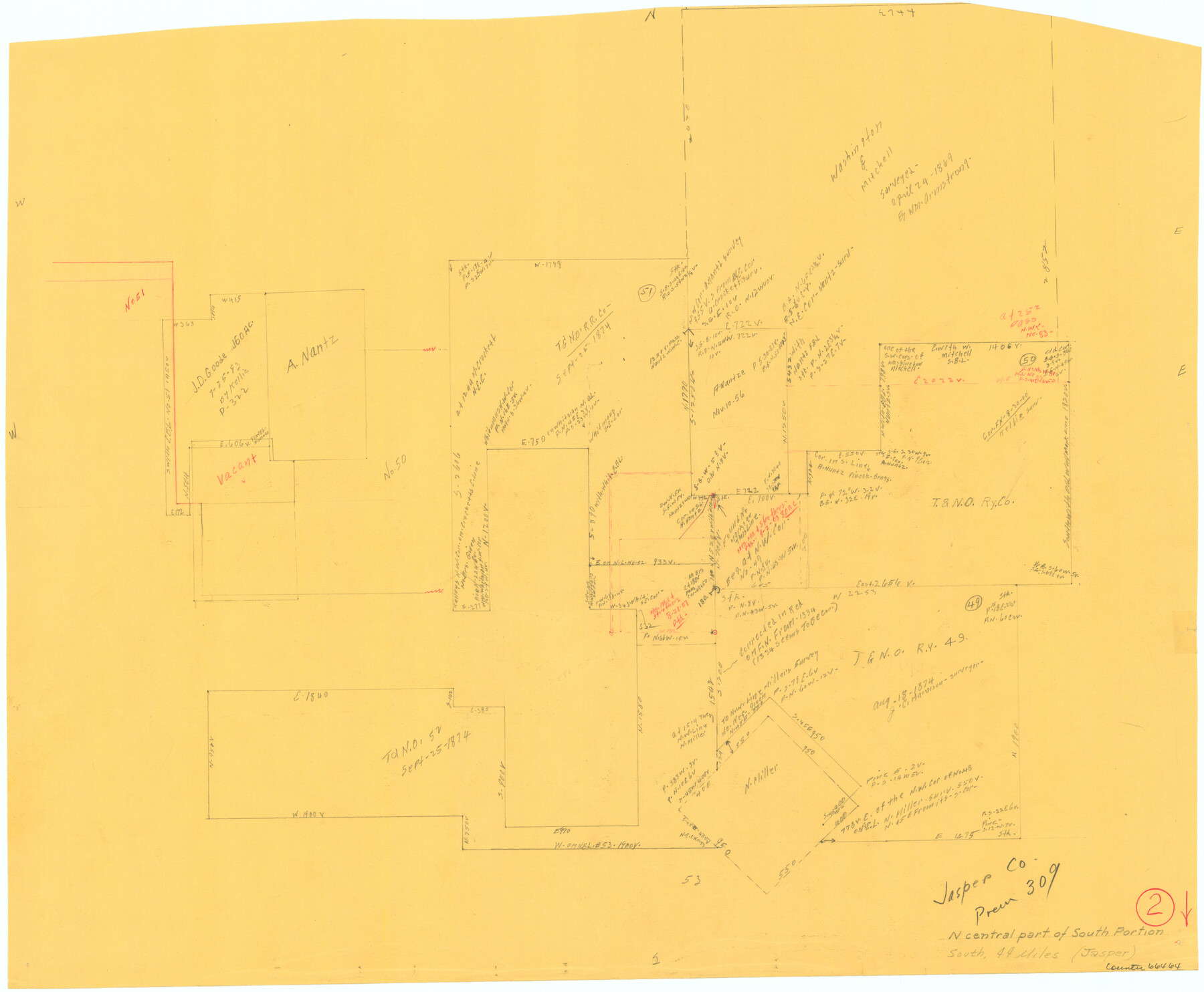
Jasper County Working Sketch 2
-
Map/Doc
66464
-
Collection
General Map Collection
-
Counties
Jasper
-
Subjects
Surveying Working Sketch
-
Height x Width
18.6 x 22.5 inches
47.2 x 57.2 cm
Part of: General Map Collection
Coryell County Rolled Sketch 3

Print $20.00
- Digital $50.00
Coryell County Rolled Sketch 3
1974
Size 24.6 x 36.4 inches
Map/Doc 5567
Wilbarger County Aerial Photograph Index Sheet 2

Print $20.00
- Digital $50.00
Wilbarger County Aerial Photograph Index Sheet 2
1950
Size 22.4 x 17.5 inches
Map/Doc 83751
Wilbarger County Working Sketch 8

Print $20.00
- Digital $50.00
Wilbarger County Working Sketch 8
1948
Size 31.8 x 38.2 inches
Map/Doc 72546
Flight Mission No. DQN-6K, Frame 89, Calhoun County

Print $20.00
- Digital $50.00
Flight Mission No. DQN-6K, Frame 89, Calhoun County
1953
Size 18.5 x 22.2 inches
Map/Doc 84449
Hays County Sketch File 33

Print $40.00
- Digital $50.00
Hays County Sketch File 33
1944
Size 16.4 x 15.1 inches
Map/Doc 26268
Lubbock County Rolled Sketch 6

Print $20.00
- Digital $50.00
Lubbock County Rolled Sketch 6
1914
Size 26.0 x 24.1 inches
Map/Doc 6642
Johnson County Boundary File 2

Print $56.00
- Digital $50.00
Johnson County Boundary File 2
Size 9.5 x 34.9 inches
Map/Doc 55556

Briscoe County Boundary File 4

Print $66.00
- Digital $50.00
Briscoe County Boundary File 4
Size 8.7 x 7.1 inches
Map/Doc 50780
Map of the Western Branch of Houston & Tex. Central R.R. for the Distance from Brenham to Austin

Print $40.00
- Digital $50.00
Map of the Western Branch of Houston & Tex. Central R.R. for the Distance from Brenham to Austin
1872
Size 32.6 x 97.3 inches
Map/Doc 64578


You may also like
Jefferson County Sketch File 43

Print $20.00
- Digital $50.00
Jefferson County Sketch File 43
1957
Size 26.6 x 19.6 inches
Map/Doc 11877
General Highway Map, Atascosa County, Texas

Print $20.00
General Highway Map, Atascosa County, Texas
1940
Size 18.2 x 24.9 inches
Map/Doc 79008
General Highway Map, Harrison County, Texas

Print $20.00
General Highway Map, Harrison County, Texas
1940
Size 18.2 x 24.8 inches
Map/Doc 79121
No. 2 Chart of Corpus Christi Pass, Texas

Print $20.00
- Digital $50.00
No. 2 Chart of Corpus Christi Pass, Texas
1878
Size 18.3 x 27.3 inches
Map/Doc 73026
Nolan County Sketch File D1

Print $42.00
- Digital $50.00
Nolan County Sketch File D1
1904
Size 19.5 x 18.8 inches
Map/Doc 42173
Mississippi River to Galveston

Print $40.00
- Digital $50.00
Mississippi River to Galveston
1986
Size 36.8 x 49.9 inches
Map/Doc 69948
Uvalde County Working Sketch 30

Print $20.00
- Digital $50.00
Uvalde County Working Sketch 30
1962
Size 27.9 x 40.9 inches
Map/Doc 72100
Hutchinson County Sketch File 44a

Print $4.00
- Digital $50.00
Hutchinson County Sketch File 44a
1989
Size 11.2 x 8.7 inches
Map/Doc 27352
Revised Map of Austin, Texas

Print $20.00
Revised Map of Austin, Texas
1885
Size 16.5 x 14.0 inches
Map/Doc 76272
Nueces County Sketch File 74

Print $28.00
- Digital $50.00
Nueces County Sketch File 74
1951
Size 10.1 x 15.4 inches
Map/Doc 33028
Sutton County Boundary File 3

Print $22.00
- Digital $50.00
Sutton County Boundary File 3
Size 14.2 x 8.7 inches
Map/Doc 59024
Wharton County Sketch File 1

Print $6.00
- Digital $50.00
Wharton County Sketch File 1
Size 10.6 x 8.7 inches
Map/Doc 39910