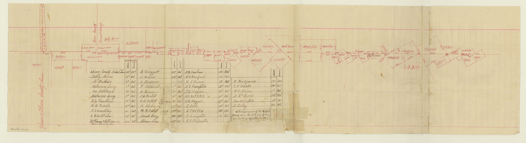
Johnson County Boundary File 2
Report of Survey Johnson and Tarrant County Line
-
Map/Doc
55556
-
Collection
General Map Collection
-
Counties
Johnson
-
Subjects
County Boundaries
-
Height x Width
9.5 x 34.9 inches
24.1 x 88.7 cm
Part of: General Map Collection
Nueces County NRC Article 33.136 Sketch 21

Print $22.00
Nueces County NRC Article 33.136 Sketch 21
2023
Map/Doc 97087

Outer Continental Shelf Leasing Maps (Texas Offshore Operations)

Print $20.00
- Digital $50.00
Outer Continental Shelf Leasing Maps (Texas Offshore Operations)
Size 29.9 x 21.7 inches
Map/Doc 75857

Fisher County Sketch File 9

Print $4.00
- Digital $50.00
Fisher County Sketch File 9
1893
Size 11.1 x 8.5 inches
Map/Doc 22575
Grayson County Sketch File 28

Print $4.00
- Digital $50.00
Grayson County Sketch File 28
1990
Size 14.3 x 8.8 inches
Map/Doc 24517
Goliad County Sketch File 40

Print $20.00
- Digital $50.00
Goliad County Sketch File 40
1949
Size 23.9 x 36.0 inches
Map/Doc 11572
Flight Mission No. CRC-3R, Frame 100, Chambers County

Print $20.00
- Digital $50.00
Flight Mission No. CRC-3R, Frame 100, Chambers County
1956
Size 18.6 x 22.3 inches
Map/Doc 84838
Kimble County Working Sketch 20

Print $20.00
- Digital $50.00
Kimble County Working Sketch 20
1929
Size 36.2 x 27.8 inches
Map/Doc 70088
Knox County Sketch File 9

Print $4.00
- Digital $50.00
Knox County Sketch File 9
1889
Size 11.1 x 8.8 inches
Map/Doc 29221
Jeff Davis County Sketch File 4

Print $42.00
- Digital $50.00
Jeff Davis County Sketch File 4
1889
Size 12.5 x 14.7 inches
Map/Doc 27893
Matagorda County Working Sketch 11

Print $20.00
- Digital $50.00
Matagorda County Working Sketch 11
1957
Size 34.6 x 43.6 inches
Map/Doc 70869
You may also like
Map of Leon County

Print $20.00
- Digital $50.00
Map of Leon County
1871
Size 25.4 x 23.2 inches
Map/Doc 4579

Galveston County Sketch File 5

Print $4.00
- Digital $50.00
Galveston County Sketch File 5
1848
Size 8.6 x 9.0 inches
Map/Doc 23358
Map of Williamson County

Print $20.00
- Digital $50.00
Map of Williamson County
1876
Size 21.2 x 28.6 inches
Map/Doc 4152
Mapa del Ferro-Carril del Rio Grande, Condado de Cameron Texas

Mapa del Ferro-Carril del Rio Grande, Condado de Cameron Texas
Size 18.4 x 72.5 inches
Map/Doc 94564
Flight Mission No. CRC-2R, Frame 196, Chambers County

Print $20.00
- Digital $50.00
Flight Mission No. CRC-2R, Frame 196, Chambers County
1956
Size 18.7 x 22.4 inches
Map/Doc 84774
Navarro County Working Sketch 1b

Print $20.00
- Digital $50.00
Navarro County Working Sketch 1b
Size 32.5 x 44.6 inches
Map/Doc 71230
Index for Texas Railroad ROW & track maps available on microfilm at THD & Archives and Records

Print $2.00
- Digital $50.00
Index for Texas Railroad ROW & track maps available on microfilm at THD & Archives and Records
1977
Size 11.1 x 8.9 inches
Map/Doc 60755
Uvalde County Rolled Sketch 10

Print $20.00
- Digital $50.00
Uvalde County Rolled Sketch 10
Size 23.5 x 16.1 inches
Map/Doc 8095
Flight Mission No. BRA-16M, Frame 121, Jefferson County

Print $20.00
- Digital $50.00
Flight Mission No. BRA-16M, Frame 121, Jefferson County
1953
Size 18.4 x 22.4 inches
Map/Doc 85731
Flight Mission No. CRC-2R, Frame 3, Chambers County

Print $20.00
- Digital $50.00
Flight Mission No. CRC-2R, Frame 3, Chambers County
1956
Size 18.8 x 22.5 inches
Map/Doc 84722
Martin County Working Sketch 17

Print $20.00
- Digital $50.00
Martin County Working Sketch 17
1981
Size 32.4 x 41.4 inches
Map/Doc 70835