
Ellis County Sketch File 3

Johnson County Sketch File 5
1874

Johnson County Sketch File 22
1873

Hill County Sketch File 2
1847

Hill County Sketch File 6
1848
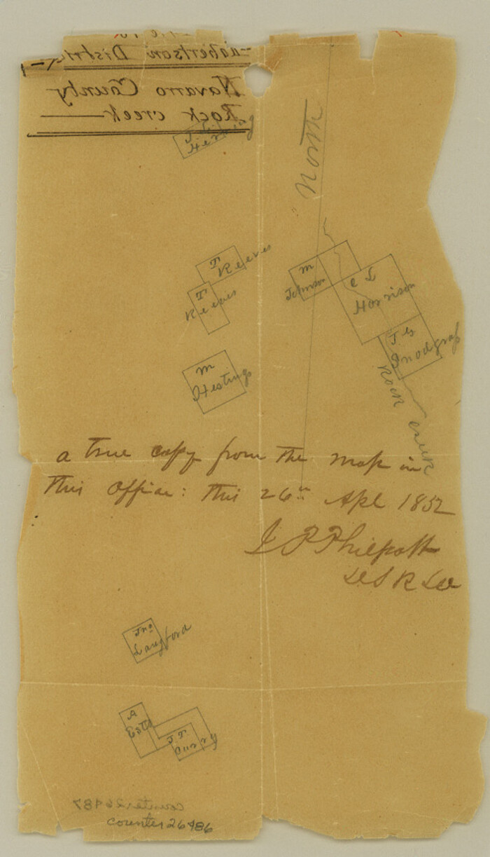
Hill County Sketch File 18
1852
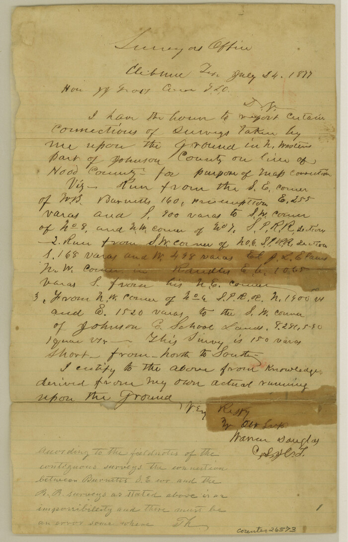
Hood County Sketch File 3
1877

Hood County Sketch File 7

Hood County Sketch File 21
1873

Hood County Sketch File 27
1873

Johnson County Sketch File 1

Johnson County Sketch File 3
Johnson County Sketch File 4
1858
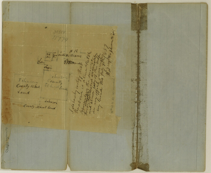
Johnson County Sketch File 8
1859

Johnson County Sketch File 10
1859

Johnson County Sketch File 10a
1877
Johnson County Sketch File 11
1880
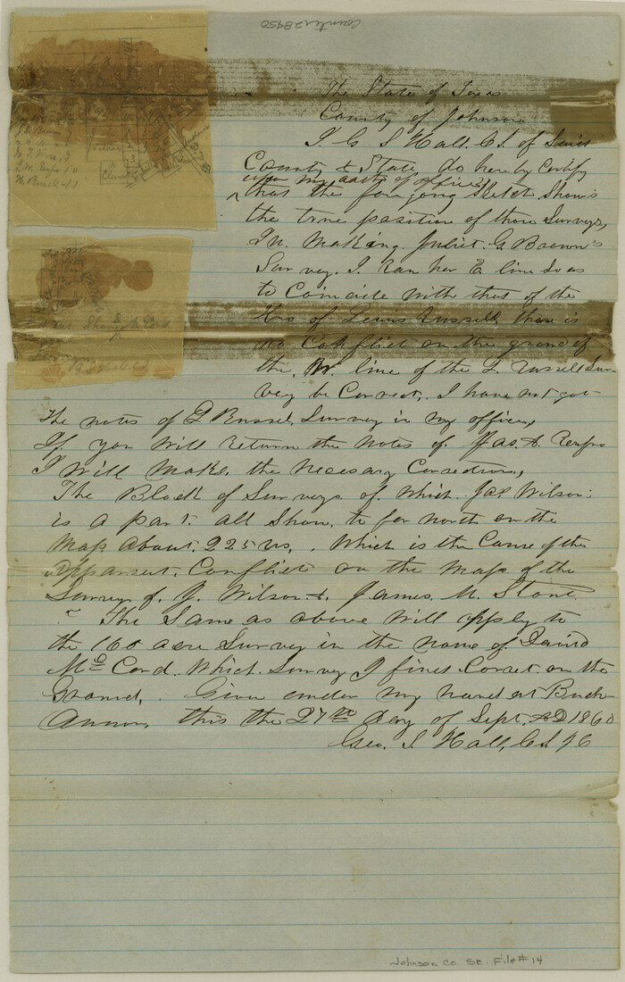
Johnson County Sketch File 14
1860

Johnson County Sketch File 14a
1862

Johnson County Sketch File 15
1881

Johnson County Sketch File 23
1857
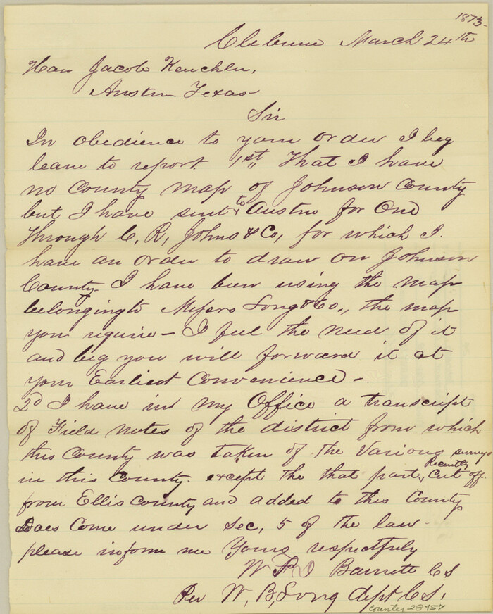
Johnson County Sketch File 24
1873

Johnson County Sketch File 25
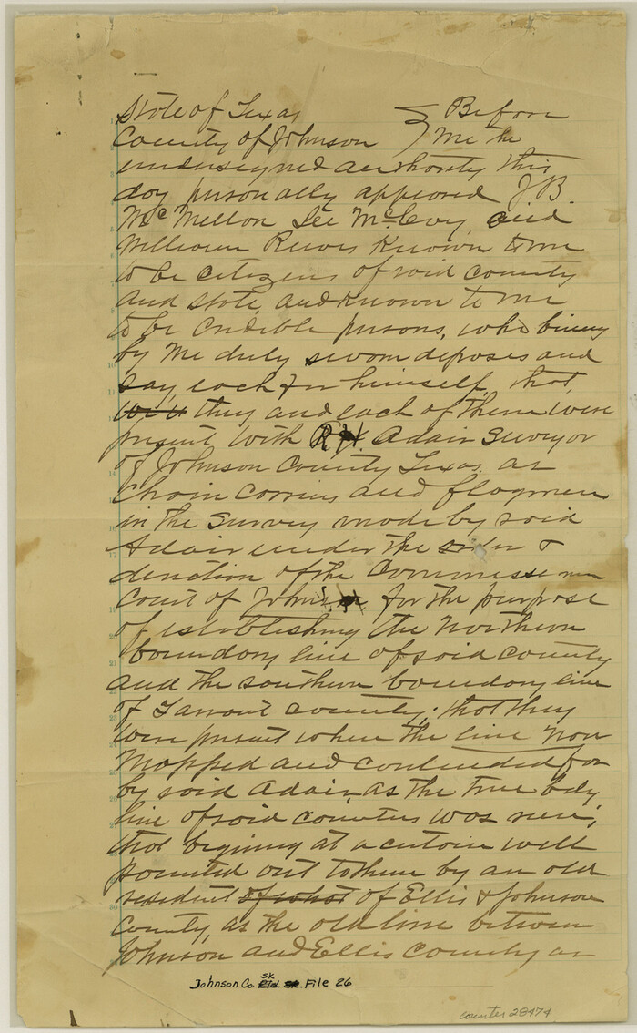
Johnson County Sketch File 26
1892
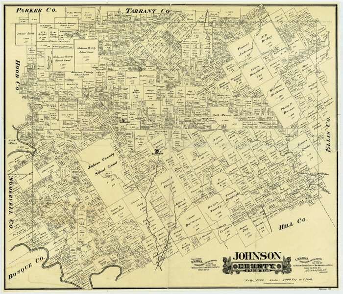
Johnson County State of Texas
1888
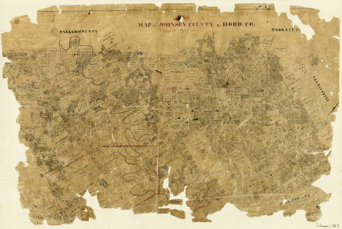
Map of Johnson County & Hood County
1863

Ellis County Sketch File 3
-
Size
23.6 x 28.0 inches
-
Map/Doc
11462

Johnson County Sketch File 5
1874
-
Size
33.3 x 14.3 inches
-
Map/Doc
11890
-
Creation Date
1874

Johnson County Sketch File 22
1873
-
Size
18.8 x 16.2 inches
-
Map/Doc
11891
-
Creation Date
1873
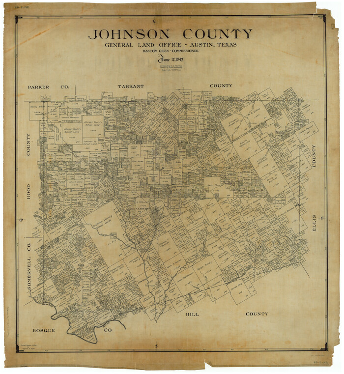
Johnson County
1943
-
Size
42.4 x 39.0 inches
-
Map/Doc
1868
-
Creation Date
1943

Hill County Sketch File 2
1847
-
Size
15.1 x 12.6 inches
-
Map/Doc
26461
-
Creation Date
1847

Hill County Sketch File 6
1848
-
Size
13.9 x 8.7 inches
-
Map/Doc
26470
-
Creation Date
1848

Hill County Sketch File 18
1852
-
Size
8.6 x 4.9 inches
-
Map/Doc
26486
-
Creation Date
1852

Hood County Sketch File 3
1877
-
Size
12.7 x 8.1 inches
-
Map/Doc
26573
-
Creation Date
1877

Hood County Sketch File 7
-
Size
12.9 x 7.9 inches
-
Map/Doc
26581

Hood County Sketch File 21
1873
-
Size
7.8 x 6.7 inches
-
Map/Doc
26609
-
Creation Date
1873

Hood County Sketch File 27
1873
-
Size
12.9 x 8.5 inches
-
Map/Doc
26629
-
Creation Date
1873

Johnson County Sketch File 1
-
Size
8.0 x 6.9 inches
-
Map/Doc
28427

Johnson County Sketch File 3
-
Size
10.1 x 8.0 inches
-
Map/Doc
28433

Johnson County Sketch File 4
1858
-
Size
7.9 x 7.6 inches
-
Map/Doc
28435
-
Creation Date
1858

Johnson County Sketch File 8
1859
-
Size
8.0 x 9.7 inches
-
Map/Doc
28440
-
Creation Date
1859

Johnson County Sketch File 10
1859
-
Size
10.1 x 8.0 inches
-
Map/Doc
28443
-
Creation Date
1859

Johnson County Sketch File 10a
1877
-
Size
6.7 x 10.6 inches
-
Map/Doc
28445
-
Creation Date
1877

Johnson County Sketch File 11
1880
-
Size
8.0 x 6.8 inches
-
Map/Doc
28447
-
Creation Date
1880

Johnson County Sketch File 14
1860
-
Size
12.8 x 8.2 inches
-
Map/Doc
28450
-
Creation Date
1860

Johnson County Sketch File 14a
1862
-
Size
8.0 x 11.1 inches
-
Map/Doc
28452
-
Creation Date
1862

Johnson County Sketch File 15
1881
-
Size
8.1 x 7.3 inches
-
Map/Doc
28455
-
Creation Date
1881

Johnson County Sketch File 23
1857
-
Size
8.1 x 12.6 inches
-
Map/Doc
28456
-
Creation Date
1857

Johnson County Sketch File 24
1873
-
Size
9.9 x 7.9 inches
-
Map/Doc
28457
-
Creation Date
1873

Johnson County Sketch File 25
-
Size
13.9 x 8.3 inches
-
Map/Doc
28459

Johnson County Sketch File 26
1892
-
Size
14.3 x 8.8 inches
-
Map/Doc
28474
-
Creation Date
1892
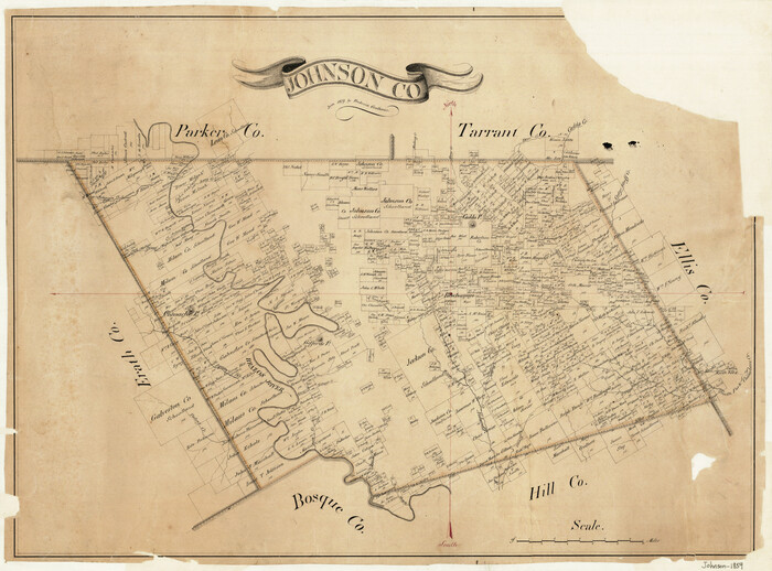
Johnson County
1859
-
Size
22.0 x 29.6 inches
-
Map/Doc
3732
-
Creation Date
1859

Johnson County State of Texas
1888
-
Size
30.2 x 35.3 inches
-
Map/Doc
3733
-
Creation Date
1888
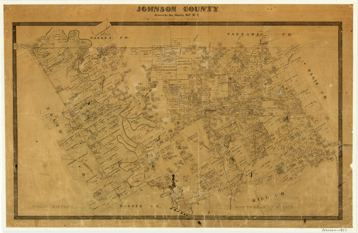
Johnson County
1857
-
Size
19.2 x 29.1 inches
-
Map/Doc
3734
-
Creation Date
1857

Map of Johnson County & Hood County
1863
-
Size
19.3 x 28.3 inches
-
Map/Doc
3735
-
Creation Date
1863
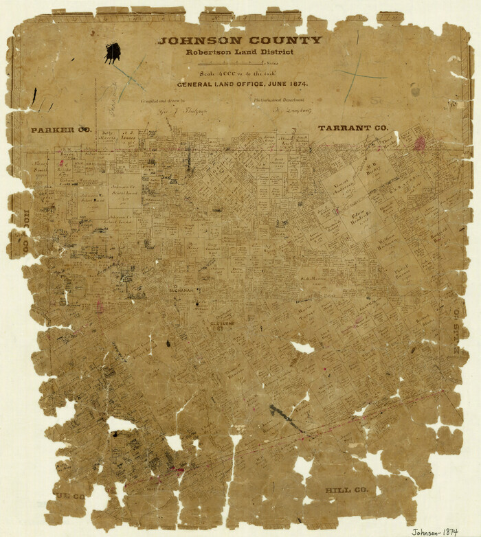
Johnson County
1874
-
Size
19.9 x 18.0 inches
-
Map/Doc
3736
-
Creation Date
1874