Ellis County Sketch File 3


Print $20.00
- Digital $50.00
Ellis County Sketch File 3
Size: 23.6 x 28.0 inches
11462
Hood County Sketch File 7


Print $6.00
- Digital $50.00
Hood County Sketch File 7
Size: 12.9 x 7.9 inches
26581
Johnson County Sketch File 1


Print $48.00
- Digital $50.00
Johnson County Sketch File 1
Size: 8.0 x 6.9 inches
28427
Johnson County Sketch File 3


Print $4.00
- Digital $50.00
Johnson County Sketch File 3
Size: 10.1 x 8.0 inches
28433
Johnson County Sketch File 25


Print $50.00
- Digital $50.00
Johnson County Sketch File 25
Size: 13.9 x 8.3 inches
28459
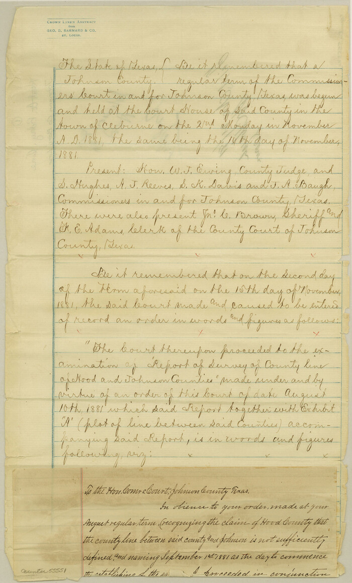
Johnson County Boundary File 1

Print $66.00
- Digital $50.00
Johnson County Boundary File 1
Size: 14.1 x 8.5 inches
55551
Johnson County Boundary File 2


Print $56.00
- Digital $50.00
Johnson County Boundary File 2
Size: 9.5 x 34.9 inches
55556
Johnson County Boundary File 2a

Print $22.00
- Digital $50.00
Johnson County Boundary File 2a
Size: 9.0 x 8.3 inches
55566
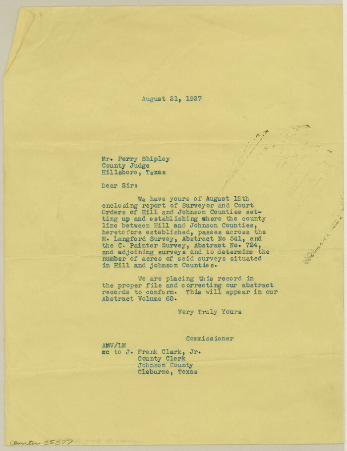
Johnson County Boundary File 3

Print $24.00
- Digital $50.00
Johnson County Boundary File 3
Size: 11.3 x 8.7 inches
55577
Johnson County Boundary File 51


Print $66.00
- Digital $50.00
Johnson County Boundary File 51
Size: 8.5 x 4.2 inches
55589
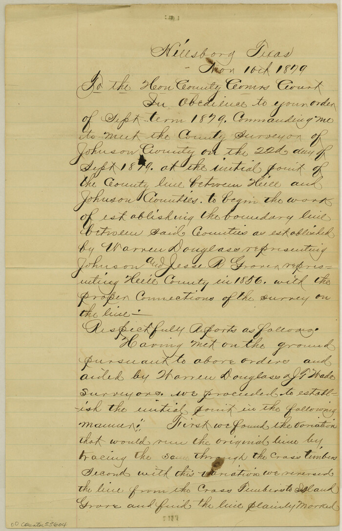
Johnson County Boundary File 51a

Print $66.00
- Digital $50.00
Johnson County Boundary File 51a
Size: 12.7 x 8.2 inches
55604
Johnson County Boundary File 51b


Print $80.00
- Digital $50.00
Johnson County Boundary File 51b
Size: 53.9 x 9.4 inches
55619
Johnson County Boundary File 51c
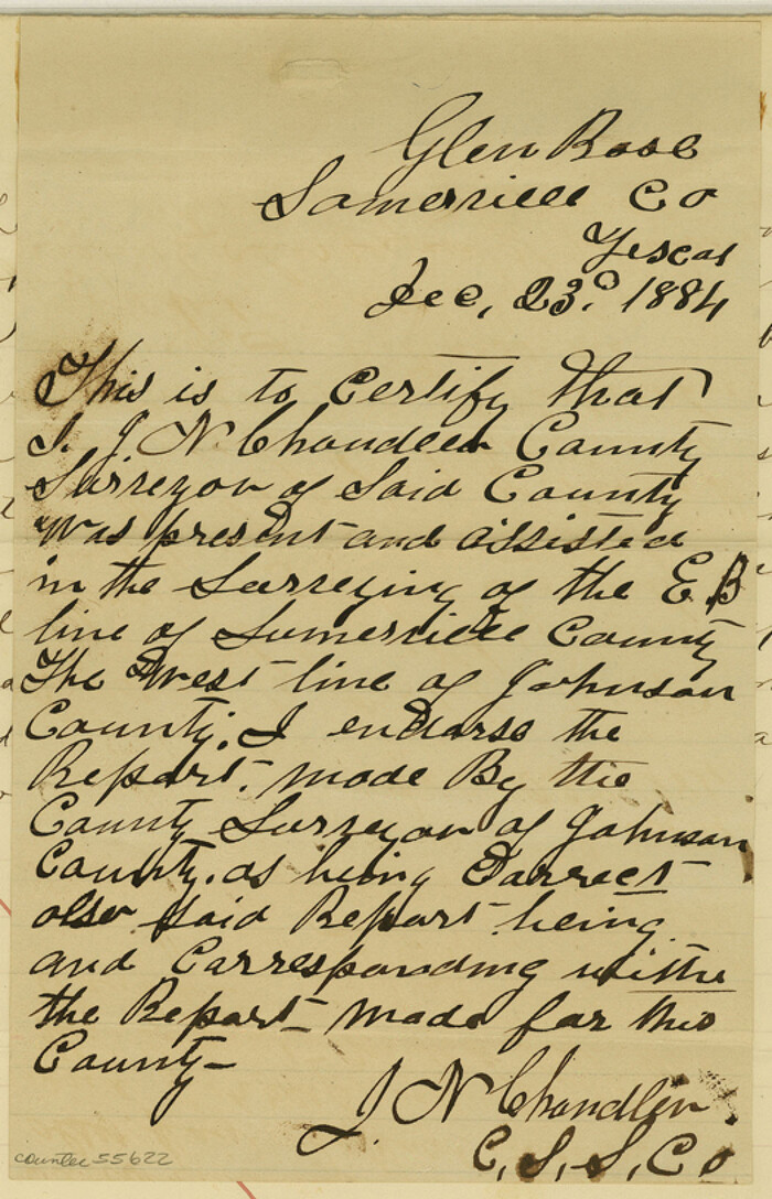

Print $18.00
- Digital $50.00
Johnson County Boundary File 51c
Size: 8.2 x 5.2 inches
55622
Johnson County Boundary File 51d
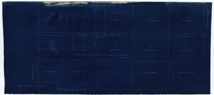

Print $6.00
- Digital $50.00
Johnson County Boundary File 51d
Size: 7.9 x 17.8 inches
55631
Map of the Recognised Line, M. El. P. & P. RR. from Texas & Arkansas State Line to Milam & Bexar Land District Line


Print $40.00
- Digital $50.00
Map of the Recognised Line, M. El. P. & P. RR. from Texas & Arkansas State Line to Milam & Bexar Land District Line
Size: 15.3 x 89.4 inches
64638
Johnson County Working Sketch 1
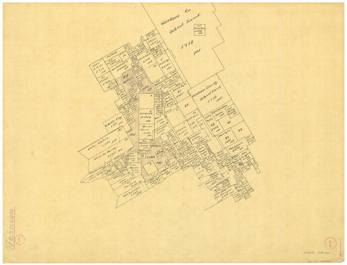

Print $20.00
- Digital $50.00
Johnson County Working Sketch 1
Size: 16.3 x 21.3 inches
66614
Johnson County Working Sketch 2


Print $20.00
- Digital $50.00
Johnson County Working Sketch 2
Size: 20.8 x 20.2 inches
66615
Hill County Sketch File 2


Print $40.00
- Digital $50.00
Hill County Sketch File 2
1847
Size: 15.1 x 12.6 inches
26461
Hill County Sketch File 6


Print $4.00
- Digital $50.00
Hill County Sketch File 6
1848
Size: 13.9 x 8.7 inches
26470
Tarrant County Sketch File 1a


Print $4.00
- Digital $50.00
Tarrant County Sketch File 1a
1851
Size: 10.2 x 7.8 inches
37670
Hill County Sketch File 18
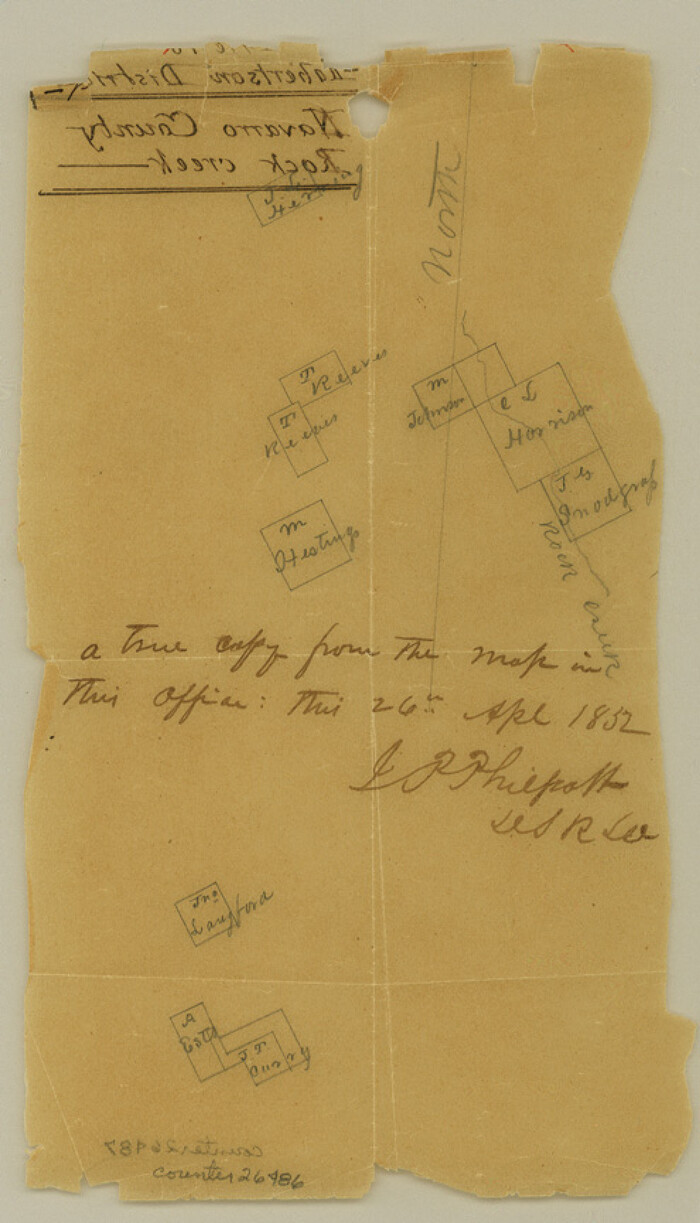

Print $26.00
- Digital $50.00
Hill County Sketch File 18
1852
Size: 8.6 x 4.9 inches
26486
Johnson County Sketch File 23


Print $22.00
- Digital $50.00
Johnson County Sketch File 23
1857
Size: 8.1 x 12.6 inches
28456
Johnson County Sketch File 4
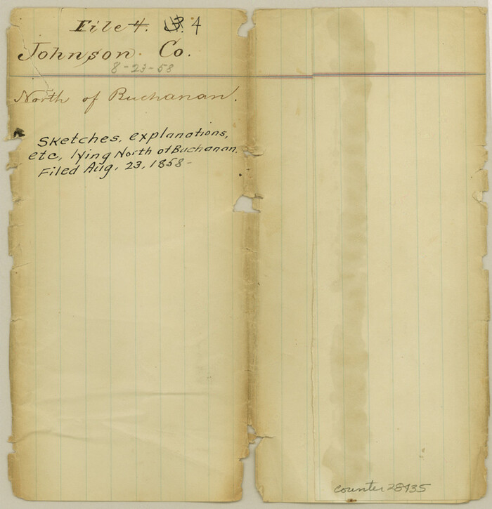

Print $10.00
- Digital $50.00
Johnson County Sketch File 4
1858
Size: 7.9 x 7.6 inches
28435
Johnson County Sketch File 10


Print $4.00
- Digital $50.00
Johnson County Sketch File 10
1859
Size: 10.1 x 8.0 inches
28443
Tarrant County Sketch File 11
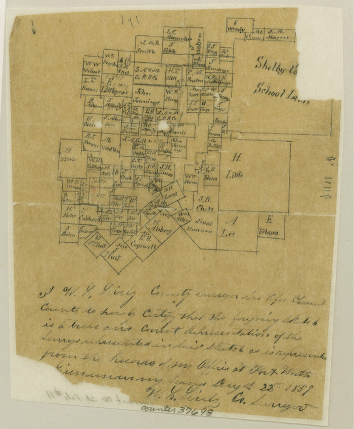

Print $11.00
- Digital $50.00
Tarrant County Sketch File 11
1859
Size: 7.5 x 6.2 inches
37698
Johnson County Sketch File 8
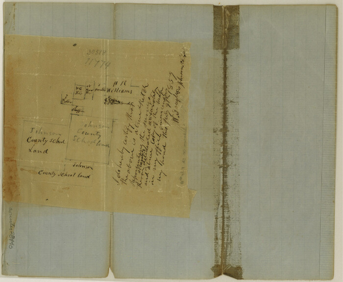

Print $6.00
- Digital $50.00
Johnson County Sketch File 8
1859
Size: 8.0 x 9.7 inches
28440
Johnson County Sketch File 14
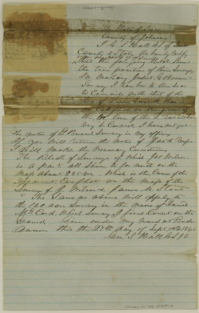

Print $4.00
- Digital $50.00
Johnson County Sketch File 14
1860
Size: 12.8 x 8.2 inches
28450
Johnson County Sketch File 14a


Print $6.00
- Digital $50.00
Johnson County Sketch File 14a
1862
Size: 8.0 x 11.1 inches
28452
Ellis County Sketch File 3


Print $20.00
- Digital $50.00
Ellis County Sketch File 3
-
Size
23.6 x 28.0 inches
-
Map/Doc
11462
Hood County Sketch File 7


Print $6.00
- Digital $50.00
Hood County Sketch File 7
-
Size
12.9 x 7.9 inches
-
Map/Doc
26581
Johnson County Sketch File 1


Print $48.00
- Digital $50.00
Johnson County Sketch File 1
-
Size
8.0 x 6.9 inches
-
Map/Doc
28427
Johnson County Sketch File 3


Print $4.00
- Digital $50.00
Johnson County Sketch File 3
-
Size
10.1 x 8.0 inches
-
Map/Doc
28433
Johnson County Sketch File 25


Print $50.00
- Digital $50.00
Johnson County Sketch File 25
-
Size
13.9 x 8.3 inches
-
Map/Doc
28459
Johnson County Boundary File 1


Print $66.00
- Digital $50.00
Johnson County Boundary File 1
-
Size
14.1 x 8.5 inches
-
Map/Doc
55551
Johnson County Boundary File 2


Print $56.00
- Digital $50.00
Johnson County Boundary File 2
-
Size
9.5 x 34.9 inches
-
Map/Doc
55556
Johnson County Boundary File 2a


Print $22.00
- Digital $50.00
Johnson County Boundary File 2a
-
Size
9.0 x 8.3 inches
-
Map/Doc
55566
Johnson County Boundary File 3


Print $24.00
- Digital $50.00
Johnson County Boundary File 3
-
Size
11.3 x 8.7 inches
-
Map/Doc
55577
Johnson County Boundary File 51


Print $66.00
- Digital $50.00
Johnson County Boundary File 51
-
Size
8.5 x 4.2 inches
-
Map/Doc
55589
Johnson County Boundary File 51a


Print $66.00
- Digital $50.00
Johnson County Boundary File 51a
-
Size
12.7 x 8.2 inches
-
Map/Doc
55604
Johnson County Boundary File 51b


Print $80.00
- Digital $50.00
Johnson County Boundary File 51b
-
Size
53.9 x 9.4 inches
-
Map/Doc
55619
Johnson County Boundary File 51c


Print $18.00
- Digital $50.00
Johnson County Boundary File 51c
-
Size
8.2 x 5.2 inches
-
Map/Doc
55622
Johnson County Boundary File 51d


Print $6.00
- Digital $50.00
Johnson County Boundary File 51d
-
Size
7.9 x 17.8 inches
-
Map/Doc
55631
Map of the Recognised Line, M. El. P. & P. RR. from Texas & Arkansas State Line to Milam & Bexar Land District Line


Print $40.00
- Digital $50.00
Map of the Recognised Line, M. El. P. & P. RR. from Texas & Arkansas State Line to Milam & Bexar Land District Line
-
Size
15.3 x 89.4 inches
-
Map/Doc
64638
Johnson County Working Sketch 1


Print $20.00
- Digital $50.00
Johnson County Working Sketch 1
-
Size
16.3 x 21.3 inches
-
Map/Doc
66614
Johnson County Working Sketch 2


Print $20.00
- Digital $50.00
Johnson County Working Sketch 2
-
Size
20.8 x 20.2 inches
-
Map/Doc
66615
Hill County Sketch File 2


Print $40.00
- Digital $50.00
Hill County Sketch File 2
1847
-
Size
15.1 x 12.6 inches
-
Map/Doc
26461
-
Creation Date
1847
Hill County Sketch File 6


Print $4.00
- Digital $50.00
Hill County Sketch File 6
1848
-
Size
13.9 x 8.7 inches
-
Map/Doc
26470
-
Creation Date
1848
Tarrant County Sketch File 1a


Print $4.00
- Digital $50.00
Tarrant County Sketch File 1a
1851
-
Size
10.2 x 7.8 inches
-
Map/Doc
37670
-
Creation Date
1851
Hill County Sketch File 18


Print $26.00
- Digital $50.00
Hill County Sketch File 18
1852
-
Size
8.6 x 4.9 inches
-
Map/Doc
26486
-
Creation Date
1852
Johnson County Sketch File 23


Print $22.00
- Digital $50.00
Johnson County Sketch File 23
1857
-
Size
8.1 x 12.6 inches
-
Map/Doc
28456
-
Creation Date
1857
Johnson County
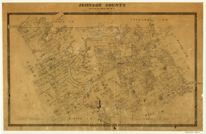

Print $20.00
- Digital $50.00
Johnson County
1857
-
Size
19.2 x 29.1 inches
-
Map/Doc
3734
-
Creation Date
1857
Johnson County Sketch File 4


Print $10.00
- Digital $50.00
Johnson County Sketch File 4
1858
-
Size
7.9 x 7.6 inches
-
Map/Doc
28435
-
Creation Date
1858
Johnson County
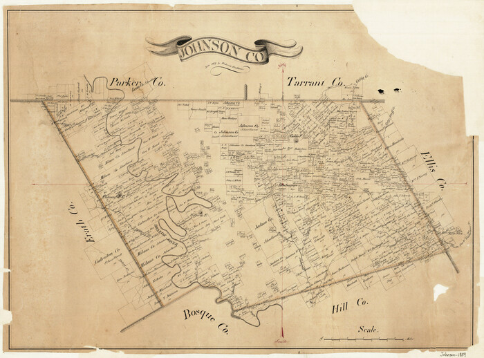

Print $20.00
- Digital $50.00
Johnson County
1859
-
Size
22.0 x 29.6 inches
-
Map/Doc
3732
-
Creation Date
1859
Johnson County Sketch File 10


Print $4.00
- Digital $50.00
Johnson County Sketch File 10
1859
-
Size
10.1 x 8.0 inches
-
Map/Doc
28443
-
Creation Date
1859
Tarrant County Sketch File 11


Print $11.00
- Digital $50.00
Tarrant County Sketch File 11
1859
-
Size
7.5 x 6.2 inches
-
Map/Doc
37698
-
Creation Date
1859
Johnson County Sketch File 8


Print $6.00
- Digital $50.00
Johnson County Sketch File 8
1859
-
Size
8.0 x 9.7 inches
-
Map/Doc
28440
-
Creation Date
1859
Johnson County Sketch File 14


Print $4.00
- Digital $50.00
Johnson County Sketch File 14
1860
-
Size
12.8 x 8.2 inches
-
Map/Doc
28450
-
Creation Date
1860
Johnson County Sketch File 14a


Print $6.00
- Digital $50.00
Johnson County Sketch File 14a
1862
-
Size
8.0 x 11.1 inches
-
Map/Doc
28452
-
Creation Date
1862