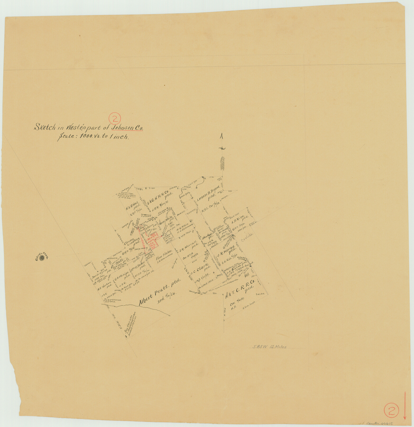
Johnson County Working Sketch 2
-
Map/Doc
66615
-
Collection
General Map Collection
-
Counties
Johnson
-
Subjects
Surveying Working Sketch
-
Height x Width
20.8 x 20.2 inches
52.8 x 51.3 cm
-
Scale
1" = 1000 varas
Part of: General Map Collection
Borden County Working Sketch 10

Print $20.00
- Digital $50.00
Borden County Working Sketch 10
1953
Size 32.2 x 20.4 inches
Map/Doc 67470
Bell County Sketch File 9

Print $4.00
- Digital $50.00
Bell County Sketch File 9
Size 10.0 x 8.2 inches
Map/Doc 14379
Jeff Davis County Rolled Sketch 21

Print $20.00
- Digital $50.00
Jeff Davis County Rolled Sketch 21
1946
Size 46.5 x 38.7 inches
Map/Doc 9267
Motley County Sketch File 8 (S)

Print $4.00
- Digital $50.00
Motley County Sketch File 8 (S)
1883
Size 12.8 x 8.4 inches
Map/Doc 32153
[Surveys along the Guadalupe River and Blanco Creek]
![45, [Surveys along the Guadalupe River and Blanco Creek], General Map Collection](https://historictexasmaps.com/wmedia_w700/maps/45.tif.jpg)
Print $20.00
- Digital $50.00
[Surveys along the Guadalupe River and Blanco Creek]
Size 19.5 x 15.7 inches
Map/Doc 45
Edwards County Sketch File 10b

Print $20.00
- Digital $50.00
Edwards County Sketch File 10b
1903
Size 17.0 x 18.9 inches
Map/Doc 11423
Railroad and County Map of Texas

Print $20.00
- Digital $50.00
Railroad and County Map of Texas
1908
Size 42.7 x 44.7 inches
Map/Doc 2141
Flight Mission No. BRA-16M, Frame 177, Jefferson County

Print $20.00
- Digital $50.00
Flight Mission No. BRA-16M, Frame 177, Jefferson County
1953
Size 18.7 x 22.3 inches
Map/Doc 85775
Travis County Working Sketch 68

Print $20.00
- Digital $50.00
Travis County Working Sketch 68
2019
Size 23.8 x 36.0 inches
Map/Doc 95687
Sutton County Sketch File 42

Print $6.00
- Digital $50.00
Sutton County Sketch File 42
1940
Size 11.2 x 8.8 inches
Map/Doc 37509
Chambers County Rolled Sketch 21

Print $20.00
- Digital $50.00
Chambers County Rolled Sketch 21
1940
Size 40.9 x 41.0 inches
Map/Doc 8589
Brazoria County Sketch File 12

Print $8.00
- Digital $50.00
Brazoria County Sketch File 12
1886
Size 12.8 x 8.2 inches
Map/Doc 14967
You may also like
Isham Tubbs Estate

Print $3.00
- Digital $50.00
Isham Tubbs Estate
1947
Size 15.5 x 9.3 inches
Map/Doc 92304
Sabine Bank to East Bay including Heald Bank

Print $20.00
- Digital $50.00
Sabine Bank to East Bay including Heald Bank
1982
Size 44.8 x 34.3 inches
Map/Doc 69852
Jeff Davis County Rolled Sketch 22

Print $399.00
- Digital $50.00
Jeff Davis County Rolled Sketch 22
Size 17.2 x 15.8 inches
Map/Doc 6487
Chambers County NRC Article 33.136 Sketch 7

Print $28.00
- Digital $50.00
Chambers County NRC Article 33.136 Sketch 7
2011
Size 18.0 x 24.0 inches
Map/Doc 94753
Current Miscellaneous File 96

Print $92.00
- Digital $50.00
Current Miscellaneous File 96
Size 8.8 x 13.6 inches
Map/Doc 74283
Shackelford County Working Sketch 14

Print $20.00
- Digital $50.00
Shackelford County Working Sketch 14
2008
Size 47.7 x 29.2 inches
Map/Doc 88835
Morris County Working Sketch 4

Print $20.00
- Digital $50.00
Morris County Working Sketch 4
1959
Size 35.2 x 23.8 inches
Map/Doc 71203
Harris County Sketch File A1

Print $20.00
- Digital $50.00
Harris County Sketch File A1
Size 12.3 x 15.2 inches
Map/Doc 25308
Upton County Rolled Sketch 59A

Print $20.00
- Digital $50.00
Upton County Rolled Sketch 59A
Size 35.7 x 45.9 inches
Map/Doc 76423
Baylor County Sketch File A6

Print $80.00
- Digital $50.00
Baylor County Sketch File A6
1899
Size 22.5 x 31.7 inches
Map/Doc 10912
La Salle County Rolled Sketch 14

Print $20.00
- Digital $50.00
La Salle County Rolled Sketch 14
Size 22.3 x 24.8 inches
Map/Doc 6577
Orange County Working Sketch 29

Print $40.00
- Digital $50.00
Orange County Working Sketch 29
1953
Size 32.9 x 50.0 inches
Map/Doc 71361