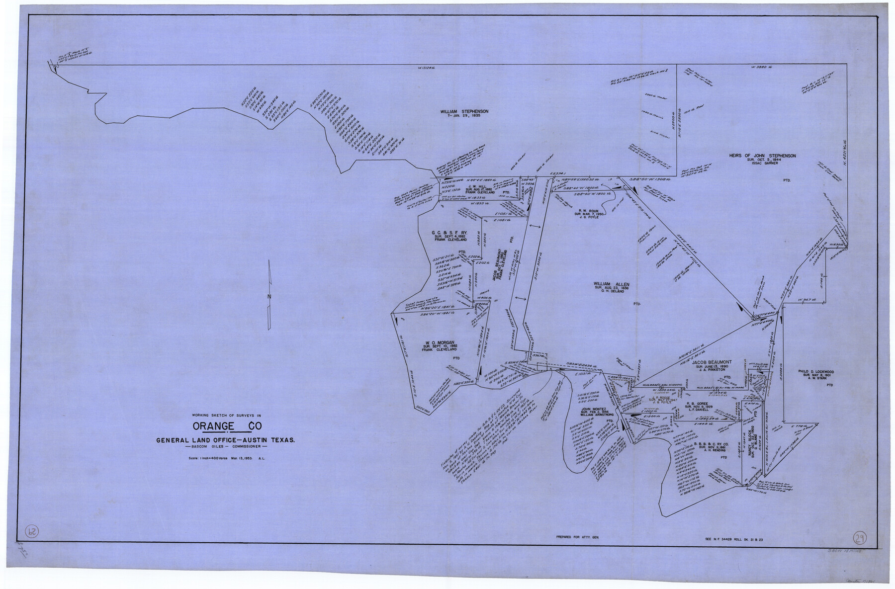
Orange County Working Sketch 29
-
Map/Doc
71361
-
Collection
General Map Collection
-
Object Dates
3/13/1953 (Creation Date)
-
Counties
Orange
-
Subjects
Surveying Working Sketch
-
Height x Width
32.9 x 50.0 inches
83.6 x 127.0 cm
-
Scale
1" = 400 varas
Part of: General Map Collection
Jeff Davis County Sketch File 17

Print $6.00
- Digital $50.00
Jeff Davis County Sketch File 17
1884
Size 8.8 x 7.3 inches
Map/Doc 27948
Flight Mission No. DIX-6P, Frame 190, Aransas County

Print $20.00
- Digital $50.00
Flight Mission No. DIX-6P, Frame 190, Aransas County
1956
Size 18.8 x 22.7 inches
Map/Doc 83852
Comal County Sketch File 4

Print $4.00
- Digital $50.00
Comal County Sketch File 4
Size 6.0 x 8.1 inches
Map/Doc 19004
Uvalde County Working Sketch 23

Print $20.00
- Digital $50.00
Uvalde County Working Sketch 23
1952
Size 32.0 x 26.6 inches
Map/Doc 72093
[Texas & Pacific Railway, Longview to Dallas]
![64097, [Texas & Pacific Railway, Longview to Dallas], General Map Collection](https://historictexasmaps.com/wmedia_w700/maps/64097.tif.jpg)
Print $40.00
- Digital $50.00
[Texas & Pacific Railway, Longview to Dallas]
1873
Size 15.5 x 124.0 inches
Map/Doc 64097
Jim Wells County Working Sketch 12

Print $20.00
- Digital $50.00
Jim Wells County Working Sketch 12
1962
Size 19.2 x 15.6 inches
Map/Doc 66610
Live Oak County Sketch File 21

Print $26.00
- Digital $50.00
Live Oak County Sketch File 21
1912
Size 16.8 x 8.0 inches
Map/Doc 30297
Flight Mission No. DQN-1K, Frame 141, Calhoun County

Print $20.00
- Digital $50.00
Flight Mission No. DQN-1K, Frame 141, Calhoun County
1953
Size 18.5 x 22.1 inches
Map/Doc 84204
Chase & Bachelder's American Museum of Art

Print $20.00
- Digital $50.00
Chase & Bachelder's American Museum of Art
1875
Size 37.4 x 28.0 inches
Map/Doc 97495

Greer County Sketch File 12

Print $20.00
- Digital $50.00
Greer County Sketch File 12
Size 23.6 x 20.1 inches
Map/Doc 11585
Reagan County

Print $40.00
- Digital $50.00
Reagan County
1915
Size 51.6 x 38.6 inches
Map/Doc 73340
You may also like
Harris County Boundary File 39 (21)

Print $6.00
- Digital $50.00
Harris County Boundary File 39 (21)
Size 10.2 x 8.1 inches
Map/Doc 54365
Val Verde County Sketch File C

Print $62.00
- Digital $50.00
Val Verde County Sketch File C
1898
Size 15.5 x 19.8 inches
Map/Doc 12545
Comal County Working Sketch 13

Print $20.00
- Digital $50.00
Comal County Working Sketch 13
1988
Size 32.6 x 21.3 inches
Map/Doc 68179
Coleman County Working Sketch 11

Print $20.00
- Digital $50.00
Coleman County Working Sketch 11
1950
Size 24.2 x 18.2 inches
Map/Doc 68077
Morris County Rolled Sketch 2A

Print $20.00
- Digital $50.00
Morris County Rolled Sketch 2A
Size 24.2 x 19.1 inches
Map/Doc 10267
Jefferson County Rolled Sketch 20

Print $60.00
- Digital $50.00
Jefferson County Rolled Sketch 20
1935
Size 29.2 x 36.2 inches
Map/Doc 9285
Brazoria County Working Sketch 24

Print $20.00
- Digital $50.00
Brazoria County Working Sketch 24
1963
Size 35.7 x 25.0 inches
Map/Doc 67509
Enoch's Land Situated in Bailey and Cochran Counties, Texas

Print $20.00
- Digital $50.00
Enoch's Land Situated in Bailey and Cochran Counties, Texas
1925
Size 29.1 x 35.7 inches
Map/Doc 92515
Matagorda County Sketch File 36

Print $6.00
- Digital $50.00
Matagorda County Sketch File 36
Size 12.1 x 8.3 inches
Map/Doc 30827
Plano del Presidio de Nra Senora del Pilar de los Adaes

Plano del Presidio de Nra Senora del Pilar de los Adaes
1766
Size 7.3 x 9.2 inches
Map/Doc 96517
Flight Mission No. DQN-2K, Frame 48, Calhoun County

Print $20.00
- Digital $50.00
Flight Mission No. DQN-2K, Frame 48, Calhoun County
1953
Size 17.1 x 22.2 inches
Map/Doc 84253
Orange County Working Sketch 21

Print $20.00
- Digital $50.00
Orange County Working Sketch 21
1933
Size 27.0 x 28.1 inches
Map/Doc 71353