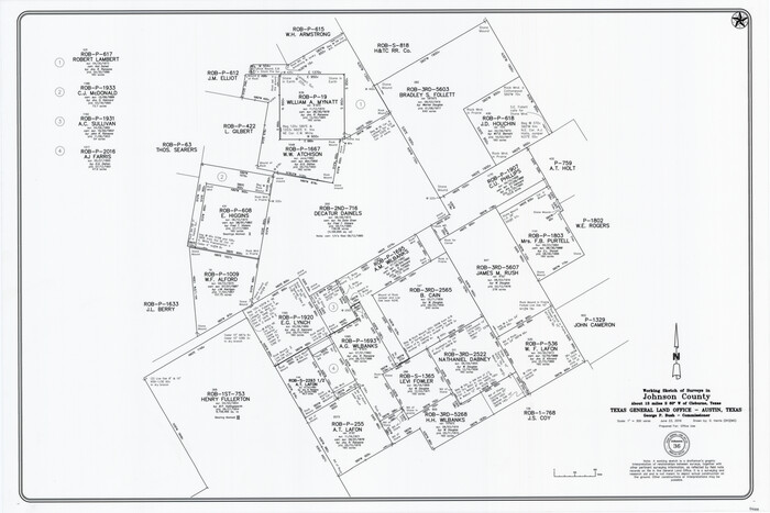
Johnson County Working Sketch 36
2016

Johnson County Rolled Sketch 4

Johnson County Working Sketch 35
2009
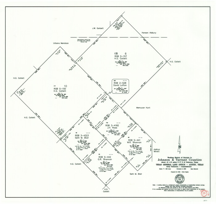
Johnson County Working Sketch 34
2008
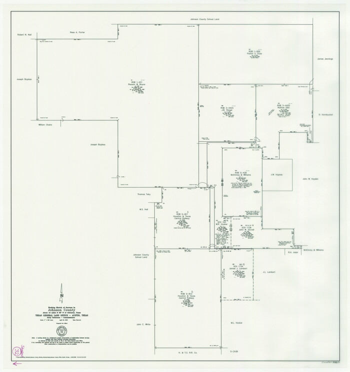
Johnson County Working Sketch 32
2008
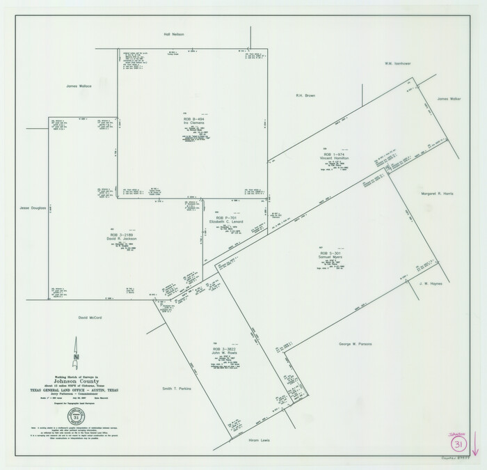
Johnson County Working Sketch 31
2007

Johnson County Working Sketch 30
2007
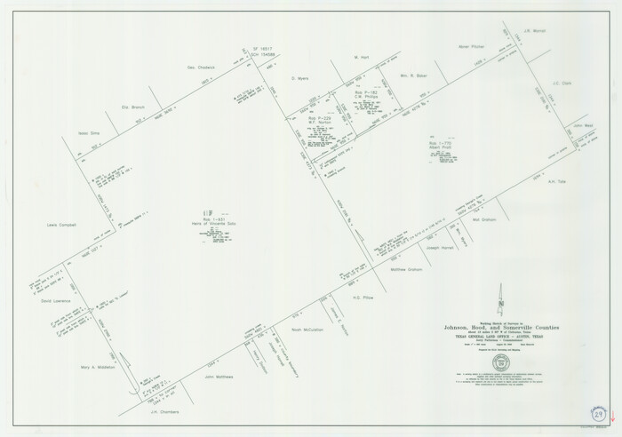
Johnson County Working Sketch 29
2006
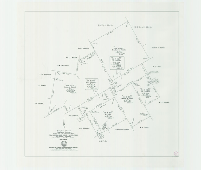
Johnson County Working Sketch 27
2006

Johnson County Working Sketch 26
2005
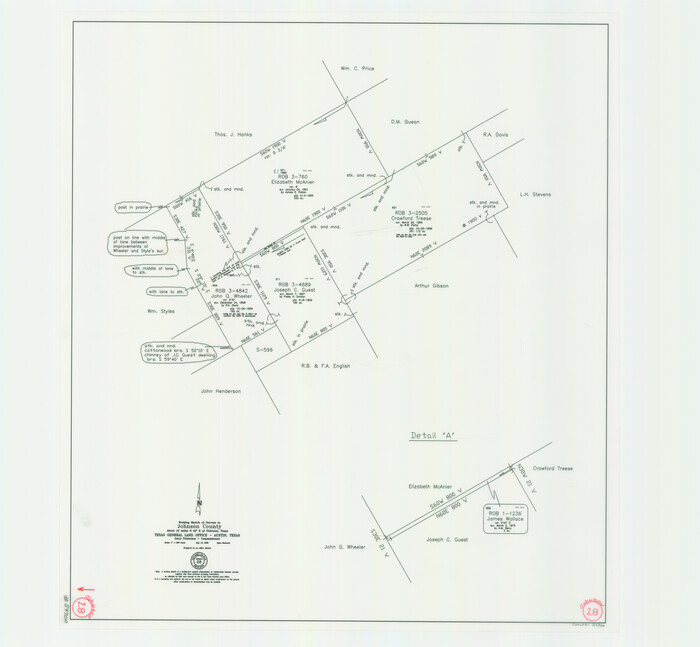
Johnson County Working Sketch 28
2005

Johnson County Working Sketch 25
1998
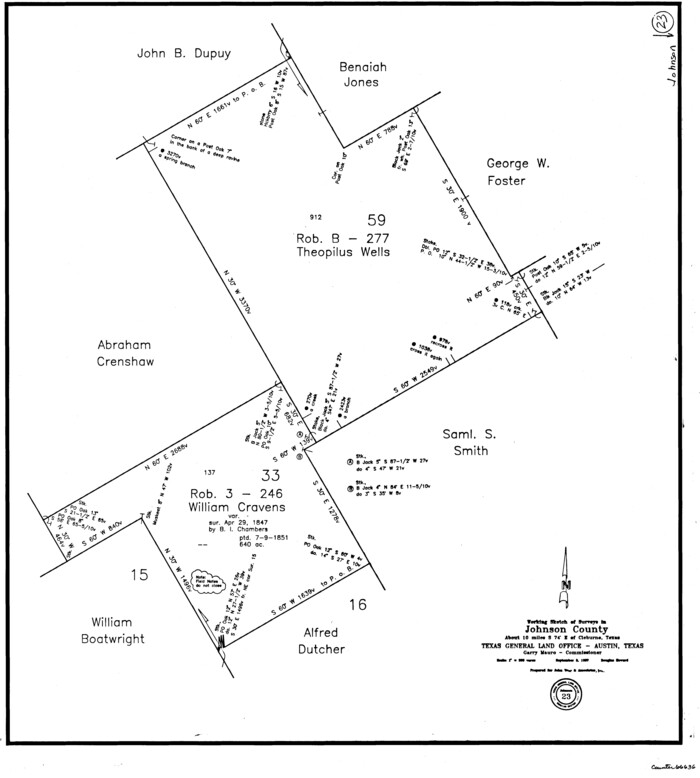
Johnson County Working Sketch 23
1997

Johnson County Working Sketch 24
1996

Johnson County Working Sketch 21
1995
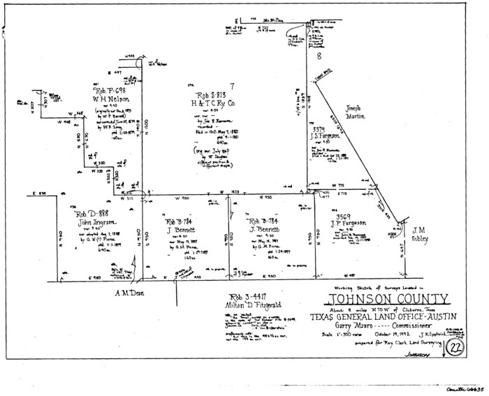
Johnson County Working Sketch 22
1992
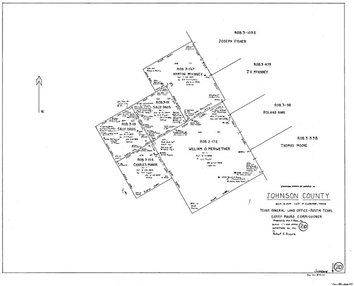
Johnson County Working Sketch 20
1991
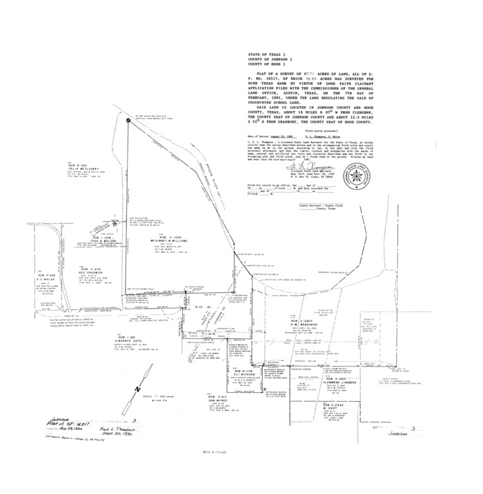
Johnson County Rolled Sketch 3
1990

Johnson County Working Sketch 19
1990
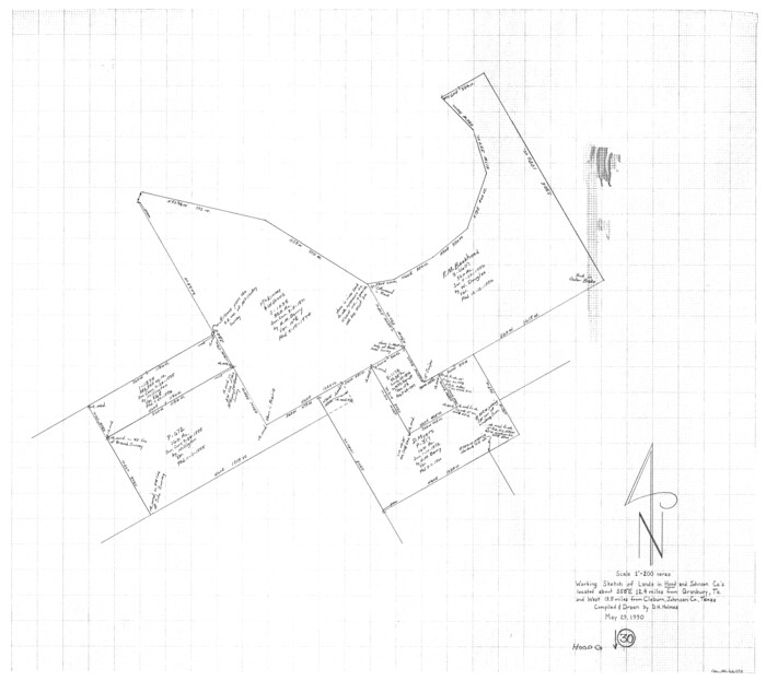
Hood County Working Sketch 30
1990

Johnson County Working Sketch 18
1985

Johnson County Working Sketch 17
1985
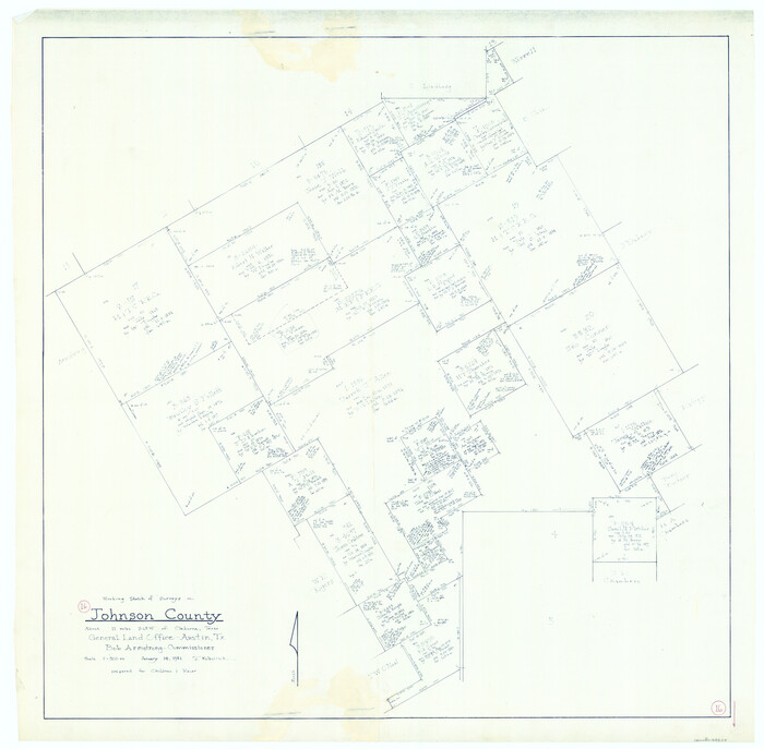
Johnson County Working Sketch 16
1981

Johnson County Working Sketch 15
1974

Johnson County Working Sketch 14
1974

Johnson County Working Sketch 13
1969

General Highway Map, Johnson County, Texas
1961
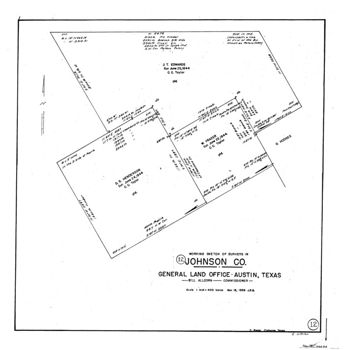
Johnson County Working Sketch 12
1959
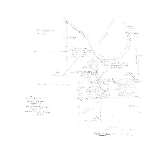
Johnson County Rolled Sketch 2
1956

Johnson County Working Sketch 11
1953

Johnson County Working Sketch 36
2016
-
Size
24.1 x 36.1 inches
-
Map/Doc
94088
-
Creation Date
2016

Johnson County Rolled Sketch 4
-
Size
24.8 x 36.0 inches
-
Map/Doc
94047

Johnson County Working Sketch 35
2009
-
Size
23.2 x 28.6 inches
-
Map/Doc
89043
-
Creation Date
2009

Johnson County Working Sketch 34
2008
-
Size
20.0 x 21.2 inches
-
Map/Doc
88890
-
Creation Date
2008

Johnson County Working Sketch 32
2008
-
Size
29.2 x 27.4 inches
-
Map/Doc
88817
-
Creation Date
2008

Johnson County Working Sketch 31
2007
-
Size
21.2 x 22.0 inches
-
Map/Doc
87499
-
Creation Date
2007

Johnson County Working Sketch 30
2007
-
Size
40.9 x 42.0 inches
-
Map/Doc
83807
-
Creation Date
2007

Johnson County Working Sketch 29
2006
-
Size
26.4 x 37.5 inches
-
Map/Doc
83060
-
Creation Date
2006

Johnson County Working Sketch 27
2006
-
Size
37.3 x 44.0 inches
-
Map/Doc
83651
-
Creation Date
2006

Johnson County Working Sketch 26
2005
-
Size
22.3 x 41.8 inches
-
Map/Doc
83574
-
Creation Date
2005

Johnson County Working Sketch 28
2005
-
Size
24.0 x 26.0 inches
-
Map/Doc
84700
-
Creation Date
2005

Johnson County Working Sketch 25
1998
-
Size
13.3 x 25.4 inches
-
Map/Doc
66638
-
Creation Date
1998

Johnson County Working Sketch 23
1997
-
Size
25.3 x 22.8 inches
-
Map/Doc
66636
-
Creation Date
1997

Johnson County Working Sketch 24
1996
-
Size
47.5 x 34.5 inches
-
Map/Doc
66637
-
Creation Date
1996

Johnson County Working Sketch 21
1995
-
Size
18.1 x 29.6 inches
-
Map/Doc
66634
-
Creation Date
1995

Johnson County Working Sketch 22
1992
-
Size
14.6 x 18.1 inches
-
Map/Doc
66635
-
Creation Date
1992

Johnson County Working Sketch 20
1991
-
Size
23.4 x 29.0 inches
-
Map/Doc
66633
-
Creation Date
1991

Johnson County Rolled Sketch 3
1990
-
Size
28.7 x 28.0 inches
-
Map/Doc
6448
-
Creation Date
1990

Johnson County Working Sketch 19
1990
-
Size
35.2 x 42.5 inches
-
Map/Doc
66632
-
Creation Date
1990

Hood County Working Sketch 30
1990
-
Size
26.6 x 29.9 inches
-
Map/Doc
66224
-
Creation Date
1990

Johnson County Working Sketch 18
1985
-
Size
18.3 x 26.0 inches
-
Map/Doc
66631
-
Creation Date
1985

Johnson County Working Sketch 17
1985
-
Size
48.3 x 44.4 inches
-
Map/Doc
66630
-
Creation Date
1985

Johnson County Working Sketch 16
1981
-
Size
37.3 x 38.0 inches
-
Map/Doc
66629
-
Creation Date
1981

Johnson County Working Sketch 15
1974
-
Size
21.6 x 23.8 inches
-
Map/Doc
66628
-
Creation Date
1974

Johnson County Working Sketch 14
1974
-
Size
37.3 x 31.7 inches
-
Map/Doc
66627
-
Creation Date
1974

Johnson County Working Sketch 13
1969
-
Size
32.0 x 41.0 inches
-
Map/Doc
66626
-
Creation Date
1969

General Highway Map, Johnson County, Texas
1961
-
Size
18.2 x 24.8 inches
-
Map/Doc
79545
-
Creation Date
1961

Johnson County Working Sketch 12
1959
-
Size
22.9 x 22.6 inches
-
Map/Doc
66625
-
Creation Date
1959

Johnson County Rolled Sketch 2
1956
-
Size
20.6 x 22.3 inches
-
Map/Doc
6447
-
Creation Date
1956

Johnson County Working Sketch 11
1953
-
Size
28.7 x 22.4 inches
-
Map/Doc
66624
-
Creation Date
1953