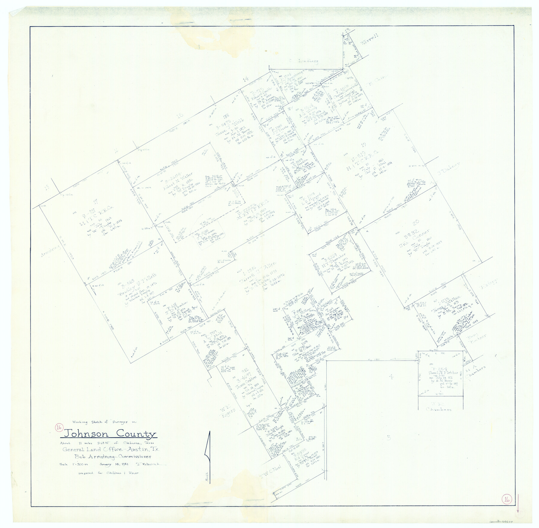
Johnson County Working Sketch 16
-
Map/Doc
66629
-
Collection
General Map Collection
-
Object Dates
1/14/1981 (Creation Date)
-
People and Organizations
Joan Kilpatrick (Draftsman)
-
Counties
Johnson
-
Subjects
Surveying Working Sketch
-
Height x Width
37.3 x 38.0 inches
94.7 x 96.5 cm
-
Scale
1" = 300 varas
Part of: General Map Collection
Flight Mission No. BRE-3P, Frame 81, Nueces County

Print $20.00
- Digital $50.00
Flight Mission No. BRE-3P, Frame 81, Nueces County
1956
Size 18.6 x 22.4 inches
Map/Doc 86822
Flight Mission No. DIX-10P, Frame 146, Aransas County

Print $20.00
- Digital $50.00
Flight Mission No. DIX-10P, Frame 146, Aransas County
1956
Size 18.6 x 22.4 inches
Map/Doc 83948
Gregg County Rolled Sketch 9A

Print $20.00
- Digital $50.00
Gregg County Rolled Sketch 9A
1932
Size 38.1 x 30.2 inches
Map/Doc 6035
Hutchinson County Boundary File 1a

Print $10.00
- Digital $50.00
Hutchinson County Boundary File 1a
Size 7.3 x 8.7 inches
Map/Doc 55297
Brazoria County Working Sketch 41

Print $20.00
- Digital $50.00
Brazoria County Working Sketch 41
1982
Size 26.5 x 35.7 inches
Map/Doc 67526
Martin County

Print $20.00
- Digital $50.00
Martin County
1933
Size 38.9 x 34.0 inches
Map/Doc 77366
Presidio County Rolled Sketch 141

Print $20.00
- Digital $50.00
Presidio County Rolled Sketch 141
Size 40.8 x 28.6 inches
Map/Doc 89064
Panola County Sketch File 23

Print $20.00
- Digital $50.00
Panola County Sketch File 23
Size 23.1 x 17.5 inches
Map/Doc 12139
Atascosa County Working Sketch 27

Print $20.00
- Digital $50.00
Atascosa County Working Sketch 27
1963
Size 16.8 x 18.6 inches
Map/Doc 67223
Fayette County Boundary File 2

Print $53.00
- Digital $50.00
Fayette County Boundary File 2
Size 11.2 x 9.0 inches
Map/Doc 53331
Flight Mission No. BQY-4M, Frame 44, Harris County

Print $20.00
- Digital $50.00
Flight Mission No. BQY-4M, Frame 44, Harris County
1953
Size 18.5 x 22.4 inches
Map/Doc 85259
Harris County Working Sketch 104

Print $20.00
- Digital $50.00
Harris County Working Sketch 104
1980
Size 17.2 x 10.3 inches
Map/Doc 65996
You may also like
McCulloch County Sketch File 5A

Print $20.00
- Digital $50.00
McCulloch County Sketch File 5A
Size 14.8 x 17.4 inches
Map/Doc 12056
Scurry County

Print $20.00
- Digital $50.00
Scurry County
1921
Size 41.4 x 38.1 inches
Map/Doc 73286
The Republic County of Goliad. December 29, 1845

Print $20.00
The Republic County of Goliad. December 29, 1845
2020
Size 17.5 x 21.7 inches
Map/Doc 96152
Colton's New Map of the State of Texas, the Indian Territory and adjoining portions of New Mexico, Louisiana and Arkansas

Print $20.00
- Digital $50.00
Colton's New Map of the State of Texas, the Indian Territory and adjoining portions of New Mexico, Louisiana and Arkansas
1882
Size 32.8 x 37.3 inches
Map/Doc 93909
Ellis County Working Sketch 3

Print $40.00
- Digital $50.00
Ellis County Working Sketch 3
1981
Size 39.1 x 50.0 inches
Map/Doc 69019
Jeff Davis County Working Sketch Graphic Index - central part

Print $40.00
- Digital $50.00
Jeff Davis County Working Sketch Graphic Index - central part
1982
Size 55.7 x 42.6 inches
Map/Doc 76593
Red River County Working Sketch 28

Print $20.00
- Digital $50.00
Red River County Working Sketch 28
1961
Size 28.1 x 38.7 inches
Map/Doc 72011
Blanco County Working Sketch 35

Print $20.00
- Digital $50.00
Blanco County Working Sketch 35
1978
Size 28.7 x 36.6 inches
Map/Doc 67395
Castro County Sketch File 13

Print $4.00
- Digital $50.00
Castro County Sketch File 13
1962
Size 14.1 x 8.6 inches
Map/Doc 17509
Brewster County Rolled Sketch 18A

Print $20.00
- Digital $50.00
Brewster County Rolled Sketch 18A
1906
Size 18.6 x 17.2 inches
Map/Doc 5196
Erath County Sketch File A1

Print $6.00
- Digital $50.00
Erath County Sketch File A1
Size 10.6 x 11.8 inches
Map/Doc 22251
Colorado County Sketch File 31

Print $4.00
- Digital $50.00
Colorado County Sketch File 31
1838
Size 12.8 x 7.8 inches
Map/Doc 18984