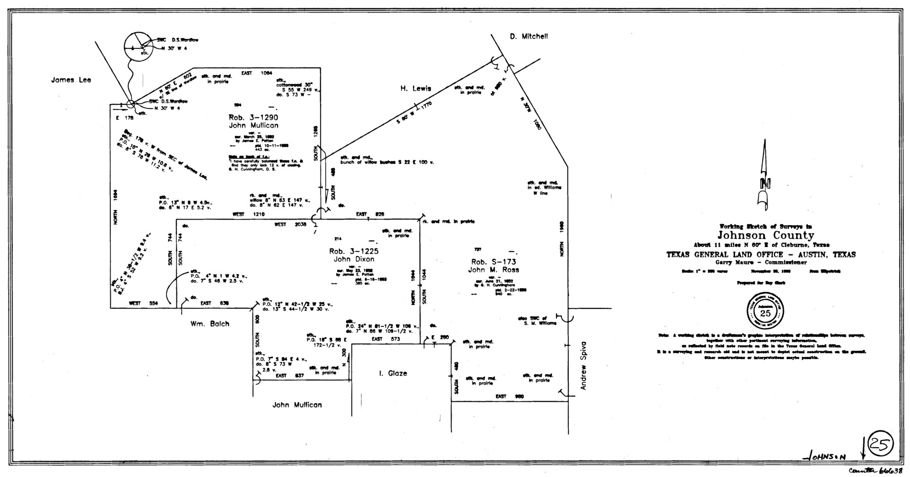
Johnson County Working Sketch 25
-
Map/Doc
66638
-
Collection
General Map Collection
-
Object Dates
11/28/1998 (Creation Date)
-
People and Organizations
Joan Kilpatrick (Draftsman)
-
Counties
Johnson
-
Subjects
Surveying Working Sketch
-
Height x Width
13.3 x 25.4 inches
33.8 x 64.5 cm
-
Scale
1" = 300 varas
Part of: General Map Collection
Travis County Sketch File 59

Print $28.00
- Digital $50.00
Travis County Sketch File 59
Size 14.4 x 9.0 inches
Map/Doc 38413
Angelina County Sketch File 18b

Print $40.00
- Digital $50.00
Angelina County Sketch File 18b
Size 12.6 x 16.2 inches
Map/Doc 13032
Atascosa County Working Sketch 3

Print $20.00
- Digital $50.00
Atascosa County Working Sketch 3
1912
Size 26.3 x 13.2 inches
Map/Doc 67198
Sketch of 103rd Meridian, W. L. Showing Conflict of Capitol Leagues

Print $40.00
- Digital $50.00
Sketch of 103rd Meridian, W. L. Showing Conflict of Capitol Leagues
Size 25.8 x 122.0 inches
Map/Doc 65504
Gray's Geological Map of the United States

Print $20.00
- Digital $50.00
Gray's Geological Map of the United States
1873
Size 17.6 x 28.8 inches
Map/Doc 95174
Williamson County Sketch File 9

Print $20.00
- Digital $50.00
Williamson County Sketch File 9
1850
Size 17.4 x 21.6 inches
Map/Doc 12692
Newton County Working Sketch 12

Print $20.00
- Digital $50.00
Newton County Working Sketch 12
1942
Size 24.5 x 28.5 inches
Map/Doc 71258
Shackelford County Sketch File 9

Print $20.00
- Digital $50.00
Shackelford County Sketch File 9
1918
Size 24.3 x 15.5 inches
Map/Doc 12315
Montgomery County Rolled Sketch 49

Print $20.00
- Digital $50.00
Montgomery County Rolled Sketch 49
2015
Size 36.1 x 23.9 inches
Map/Doc 95186
Terry County Sketch File 15

Print $10.00
- Digital $50.00
Terry County Sketch File 15
1944
Size 11.3 x 8.9 inches
Map/Doc 38034
Pecos County Working Sketch 35

Print $20.00
- Digital $50.00
Pecos County Working Sketch 35
1939
Size 32.5 x 26.7 inches
Map/Doc 71507
Culberson County Working Sketch 48

Print $40.00
- Digital $50.00
Culberson County Working Sketch 48
1972
Size 49.3 x 39.0 inches
Map/Doc 68502
You may also like
Kleberg County Rolled Sketch 10-21

Print $20.00
- Digital $50.00
Kleberg County Rolled Sketch 10-21
1952
Size 37.5 x 32.9 inches
Map/Doc 9403
Presidio County Rolled Sketch 13

Print $40.00
- Digital $50.00
Presidio County Rolled Sketch 13
1882
Size 58.8 x 48.0 inches
Map/Doc 9763
Nueces County Rolled Sketch 64

Print $55.00
Nueces County Rolled Sketch 64
1979
Size 25.3 x 38.0 inches
Map/Doc 6911
King County Working Sketch 5

Print $20.00
- Digital $50.00
King County Working Sketch 5
1943
Size 19.2 x 22.0 inches
Map/Doc 70169
Bowie County Working Sketch 18

Print $20.00
- Digital $50.00
Bowie County Working Sketch 18
1962
Size 26.3 x 20.4 inches
Map/Doc 67422
Lamb County Sketch File A

Print $20.00
- Digital $50.00
Lamb County Sketch File A
1902
Size 30.8 x 38.7 inches
Map/Doc 10518
Moore County Working Sketch 7

Print $20.00
- Digital $50.00
Moore County Working Sketch 7
1939
Size 10.8 x 17.8 inches
Map/Doc 71189
Sketch F Showing the Progress of the Survey in Section VI With a General Reconnoissance of the Western Coast of Florida

Print $20.00
- Digital $50.00
Sketch F Showing the Progress of the Survey in Section VI With a General Reconnoissance of the Western Coast of Florida
1848
Size 25.5 x 19.2 inches
Map/Doc 97216
Map of the United States

Print $20.00
- Digital $50.00
Map of the United States
1851
Size 25.1 x 25.3 inches
Map/Doc 93899
Catalogue of the Spanish Collection of the Texas General Land Office

Digital $15.00
Catalogue of the Spanish Collection of the Texas General Land Office
2003
Size 10.8 x 8.5 inches
Map/Doc 83387
Current Miscellaneous File 88

Print $12.00
- Digital $50.00
Current Miscellaneous File 88
1954
Size 10.9 x 8.4 inches
Map/Doc 74247
Reeves County Rolled Sketch 39

Print $20.00
- Digital $50.00
Reeves County Rolled Sketch 39
2018
Size 25.0 x 36.5 inches
Map/Doc 96570