Kleberg County Rolled Sketch 10-21
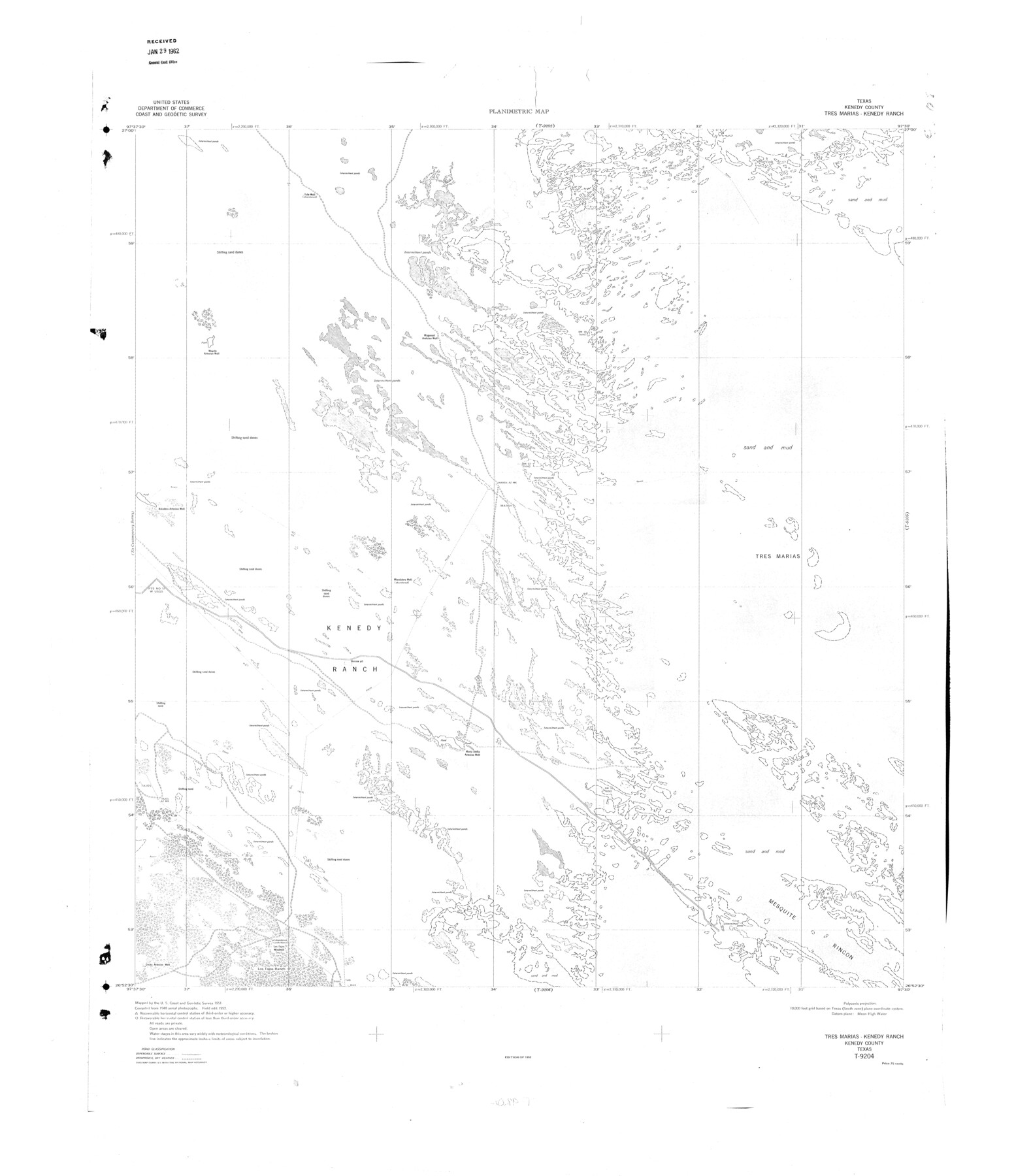
Planimetric Map, Tres Marias - Kenedy Ranch, Kenedy County, Texas T-9204
-
Map/Doc
9403
-
Collection
General Map Collection
-
Object Dates
1952 (Creation Date)
1962/1/29 (File Date)
-
People and Organizations
U.S. Coast and Geodetic Survey (Publisher)
-
Counties
Kenedy
-
Subjects
Surveying Rolled Sketch
-
Height x Width
37.5 x 32.9 inches
95.3 x 83.6 cm
Part of: General Map Collection
Flight Mission No. DIX-6P, Frame 194, Aransas County

Print $20.00
- Digital $50.00
Flight Mission No. DIX-6P, Frame 194, Aransas County
1956
Size 19.2 x 22.7 inches
Map/Doc 83856
Flight Mission No. DIX-5P, Frame 148, Aransas County

Print $20.00
- Digital $50.00
Flight Mission No. DIX-5P, Frame 148, Aransas County
1956
Size 17.9 x 18.0 inches
Map/Doc 83810
Briscoe County Sketch File C

Print $40.00
- Digital $50.00
Briscoe County Sketch File C
1900
Size 20.4 x 35.6 inches
Map/Doc 11000
Armstrong County Rolled Sketch ACP

Print $20.00
- Digital $50.00
Armstrong County Rolled Sketch ACP
1900
Size 33.0 x 35.3 inches
Map/Doc 8425
Roberts County Working Sketch 42

Print $20.00
- Digital $50.00
Roberts County Working Sketch 42
1978
Size 26.7 x 22.7 inches
Map/Doc 63568
Armstrong County Working Sketch 4

Print $20.00
- Digital $50.00
Armstrong County Working Sketch 4
1918
Size 23.9 x 32.0 inches
Map/Doc 67235
Harris County Historic Topographic 29

Print $20.00
- Digital $50.00
Harris County Historic Topographic 29
1915
Size 29.1 x 23.0 inches
Map/Doc 65840
Uvalde County

Print $20.00
- Digital $50.00
Uvalde County
1976
Size 42.0 x 45.4 inches
Map/Doc 77444
Hudspeth County Sketch File 17

Print $11.00
- Digital $50.00
Hudspeth County Sketch File 17
1929
Size 9.3 x 14.6 inches
Map/Doc 26954
McCulloch County Sketch File 9

Print $6.00
- Digital $50.00
McCulloch County Sketch File 9
1883
Size 7.3 x 8.7 inches
Map/Doc 31184
Travis County Sketch File 15

Print $4.00
- Digital $50.00
Travis County Sketch File 15
Size 12.8 x 8.1 inches
Map/Doc 38310
San Patricio County Sketch File 45

Print $20.00
- Digital $50.00
San Patricio County Sketch File 45
1943
Size 11.2 x 8.9 inches
Map/Doc 36273
You may also like
Travis County Sketch File 62

Print $20.00
- Digital $50.00
Travis County Sketch File 62
1929
Size 20.6 x 18.2 inches
Map/Doc 12473
G. C. & S. F. Ry. Alinement [sic] and Right of Way Map of Dallas Branch, Johnson County, Texas
![64650, G. C. & S. F. Ry. Alinement [sic] and Right of Way Map of Dallas Branch, Johnson County, Texas, General Map Collection](https://historictexasmaps.com/wmedia_w700/maps/64650.tif.jpg)
Print $40.00
- Digital $50.00
G. C. & S. F. Ry. Alinement [sic] and Right of Way Map of Dallas Branch, Johnson County, Texas
1925
Size 38.0 x 125.2 inches
Map/Doc 64650
Edwards County

Print $20.00
- Digital $50.00
Edwards County
1893
Size 30.8 x 33.1 inches
Map/Doc 3507
Matagorda Bay and Approaches

Print $20.00
- Digital $50.00
Matagorda Bay and Approaches
1957
Size 35.1 x 44.8 inches
Map/Doc 73381
Map of Portion of Matagorda Bay in Matagorda County showing subdivision thereof for mineral development

Print $20.00
- Digital $50.00
Map of Portion of Matagorda Bay in Matagorda County showing subdivision thereof for mineral development
1937
Size 38.3 x 36.6 inches
Map/Doc 2921
Chambers County Sketch File 12

Print $6.00
- Digital $50.00
Chambers County Sketch File 12
1873
Size 16.5 x 11.3 inches
Map/Doc 17556
Crockett County Working Sketch 71

Print $20.00
- Digital $50.00
Crockett County Working Sketch 71
1963
Size 38.7 x 32.7 inches
Map/Doc 68404
United States - Gulf Coast Texas - Southern part of Laguna Madre

Print $20.00
- Digital $50.00
United States - Gulf Coast Texas - Southern part of Laguna Madre
1941
Size 26.4 x 18.2 inches
Map/Doc 72945
Flight Mission No. CRC-2R, Frame 199, Chambers County

Print $20.00
- Digital $50.00
Flight Mission No. CRC-2R, Frame 199, Chambers County
1956
Size 18.6 x 22.4 inches
Map/Doc 84777

Supplemental Plat, T. 4S., R. 14W., Indian Meridian, Oklahoma

Print $4.00
- Digital $50.00
Supplemental Plat, T. 4S., R. 14W., Indian Meridian, Oklahoma
1924
Size 17.4 x 23.1 inches
Map/Doc 75148
San Saba County Working Sketch 14

Print $20.00
- Digital $50.00
San Saba County Working Sketch 14
1998
Size 29.0 x 42.8 inches
Map/Doc 63802