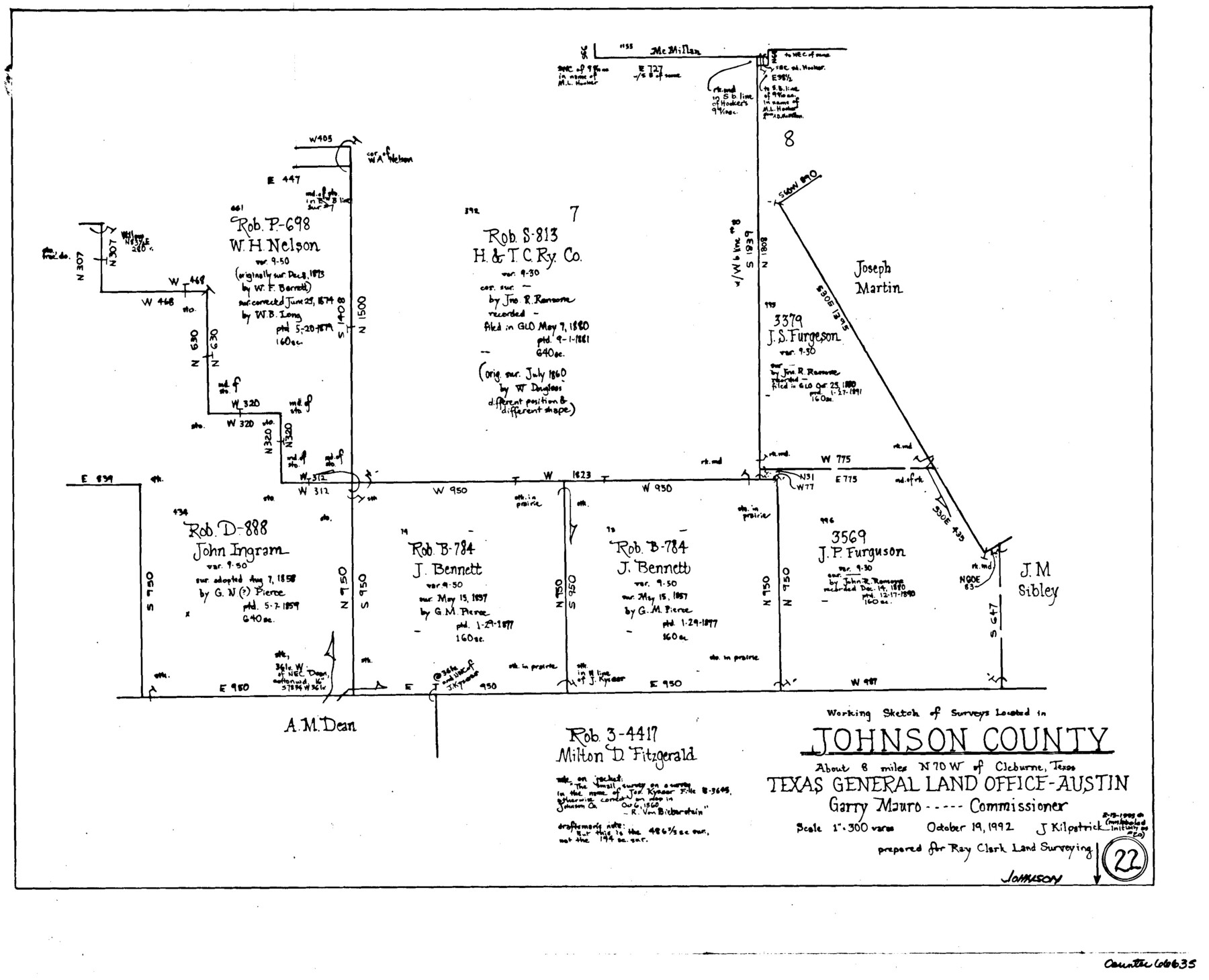
Johnson County Working Sketch 22
-
Map/Doc
66635
-
Collection
General Map Collection
-
Object Dates
10/19/1992 (Creation Date)
-
People and Organizations
Joan Kilpatrick (Draftsman)
-
Counties
Johnson
-
Subjects
Surveying Working Sketch
-
Height x Width
14.6 x 18.1 inches
37.1 x 46.0 cm
-
Scale
1" = 300 varas
Part of: General Map Collection
Mitchell County

Print $20.00
- Digital $50.00
Mitchell County
1889
Size 42.3 x 35.7 inches
Map/Doc 10792
Atascosa County Sketch File 2

Print $8.00
- Digital $50.00
Atascosa County Sketch File 2
1847
Size 7.8 x 5.9 inches
Map/Doc 13724
Archer County Sketch File 7

Print $6.00
- Digital $50.00
Archer County Sketch File 7
Size 8.8 x 11.8 inches
Map/Doc 13636
Tom Green County Rolled Sketch 26

Print $40.00
- Digital $50.00
Tom Green County Rolled Sketch 26
Size 40.0 x 48.3 inches
Map/Doc 10007
Sterling County Sketch File 24

Print $6.00
- Digital $50.00
Sterling County Sketch File 24
1955
Size 11.1 x 8.5 inches
Map/Doc 37189
Lynn County Boundary File 14

Print $6.00
- Digital $50.00
Lynn County Boundary File 14
Size 8.9 x 14.2 inches
Map/Doc 56754
Flight Mission No. BRE-1P, Frame 67, Nueces County

Print $20.00
- Digital $50.00
Flight Mission No. BRE-1P, Frame 67, Nueces County
1956
Size 18.7 x 22.4 inches
Map/Doc 86649
Map of the Rio Grande Frontier, Texas, East of Fort McIntosh and South of the Mex. National RR.

Print $20.00
- Digital $50.00
Map of the Rio Grande Frontier, Texas, East of Fort McIntosh and South of the Mex. National RR.
1892
Size 26.1 x 39.8 inches
Map/Doc 4660
Young County Working Sketch 17

Print $20.00
- Digital $50.00
Young County Working Sketch 17
1958
Size 20.7 x 28.6 inches
Map/Doc 62040
Hays County Sketch File 19a

Print $39.00
- Digital $50.00
Hays County Sketch File 19a
1894
Size 19.4 x 28.6 inches
Map/Doc 11749
Borden County Boundary File 3

Print $62.00
- Digital $50.00
Borden County Boundary File 3
1908
Size 28.7 x 82.9 inches
Map/Doc 1695
Flight Mission No. BRA-16M, Frame 50, Jefferson County

Print $20.00
- Digital $50.00
Flight Mission No. BRA-16M, Frame 50, Jefferson County
1953
Size 18.5 x 22.5 inches
Map/Doc 85667
You may also like
Flight Mission No. BRE-2P, Frame 41, Nueces County

Print $20.00
- Digital $50.00
Flight Mission No. BRE-2P, Frame 41, Nueces County
1956
Size 18.5 x 22.4 inches
Map/Doc 86743
Hill County Working Sketch 3

Print $20.00
- Digital $50.00
Hill County Working Sketch 3
1948
Size 22.7 x 19.5 inches
Map/Doc 66189
Harris County Working Sketch 112

Print $20.00
- Digital $50.00
Harris County Working Sketch 112
1982
Size 31.0 x 38.1 inches
Map/Doc 66004
Galveston County Sketch File 38

Print $8.00
- Digital $50.00
Galveston County Sketch File 38
1908
Size 6.8 x 7.8 inches
Map/Doc 23441
Kerr County Working Sketch 9

Print $20.00
- Digital $50.00
Kerr County Working Sketch 9
1949
Size 31.6 x 33.0 inches
Map/Doc 70040
Flight Mission No. DAG-28K, Frame 25, Matagorda County

Print $20.00
- Digital $50.00
Flight Mission No. DAG-28K, Frame 25, Matagorda County
1953
Size 18.5 x 22.3 inches
Map/Doc 86593
Flight Mission No. CGI-3N, Frame 128, Cameron County

Print $20.00
- Digital $50.00
Flight Mission No. CGI-3N, Frame 128, Cameron County
1954
Size 18.5 x 22.2 inches
Map/Doc 84601
Angelina County Sketch File 24

Print $8.00
- Digital $50.00
Angelina County Sketch File 24
1893
Size 8.9 x 5.6 inches
Map/Doc 13065
Aransas County Sketch File 25

Print $20.00
- Digital $50.00
Aransas County Sketch File 25
Size 17.0 x 17.5 inches
Map/Doc 13218
General Highway Map, Aransas County, Texas

Print $20.00
General Highway Map, Aransas County, Texas
1940
Size 18.4 x 25.0 inches
Map/Doc 79004
Karnes County Sketch File 6

Print $4.00
- Digital $50.00
Karnes County Sketch File 6
1858
Size 7.7 x 8.1 inches
Map/Doc 28557
English Field Notes of the Spanish Archives - Book 5

English Field Notes of the Spanish Archives - Book 5
1835
Map/Doc 96531