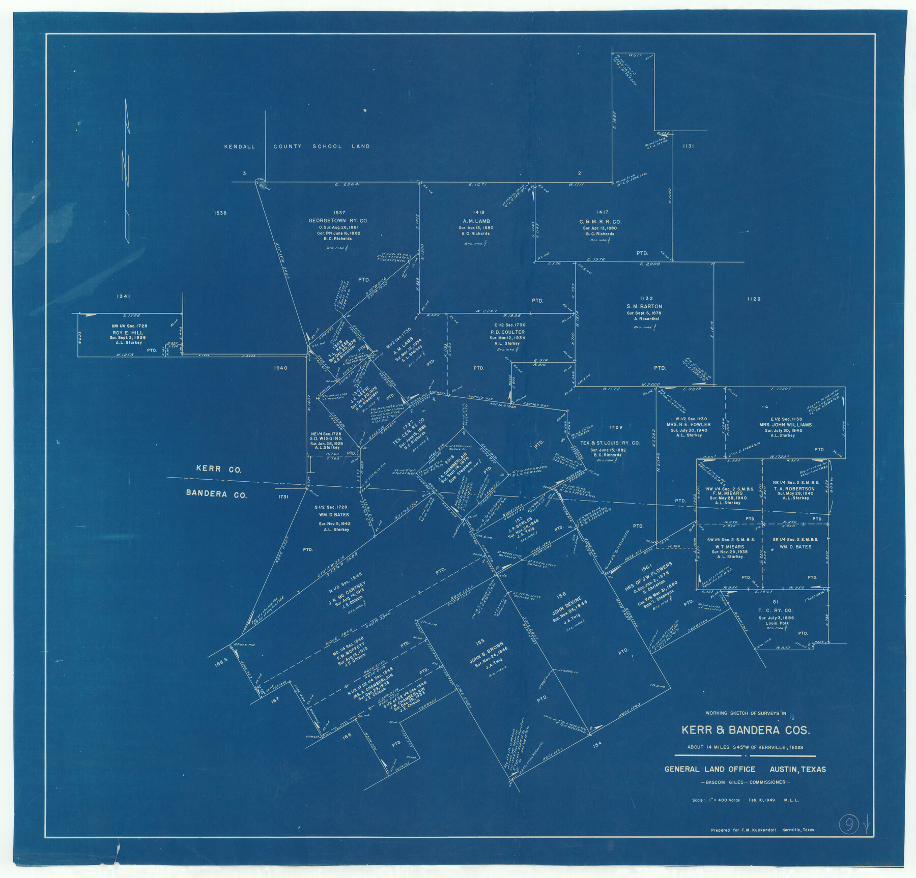
Kerr County Working Sketch 9
-
Map/Doc
70040
-
Collection
General Map Collection
-
Object Dates
2/10/1949 (Creation Date)
-
People and Organizations
M. L. Liles (Draftsman)
-
Counties
Kerr Bandera
-
Subjects
Surveying Working Sketch
-
Height x Width
31.6 x 33.0 inches
80.3 x 83.8 cm
-
Scale
1" = 400 varas
Part of: General Map Collection
Upton County Working Sketch 24

Print $20.00
- Digital $50.00
Upton County Working Sketch 24
1953
Size 36.7 x 39.2 inches
Map/Doc 69520
Surveys East of Cedar Lake

Print $20.00
- Digital $50.00
Surveys East of Cedar Lake
1824
Size 13.3 x 20.9 inches
Map/Doc 210
Reagan County Boundary File 1

Print $8.00
- Digital $50.00
Reagan County Boundary File 1
Size 8.8 x 8.9 inches
Map/Doc 58151
Kendall County

Print $20.00
- Digital $50.00
Kendall County
1946
Size 40.8 x 35.4 inches
Map/Doc 73203
Fort Bend County State Real Property Sketch 9

Print $40.00
- Digital $50.00
Fort Bend County State Real Property Sketch 9
1986
Size 34.7 x 43.2 inches
Map/Doc 61683
San Patricio County Rolled Sketch 27B

Print $40.00
- Digital $50.00
San Patricio County Rolled Sketch 27B
Size 50.3 x 38.4 inches
Map/Doc 9892
Leon County Working Sketch 4

Print $20.00
- Digital $50.00
Leon County Working Sketch 4
Size 18.1 x 14.0 inches
Map/Doc 70403
Brazoria County Sketch File 23

Print $40.00
- Digital $50.00
Brazoria County Sketch File 23
Size 12.7 x 12.2 inches
Map/Doc 15020
Robertson County Rolled Sketch 6

Print $20.00
- Digital $50.00
Robertson County Rolled Sketch 6
Size 22.8 x 15.6 inches
Map/Doc 7512
Map of Power and Hewetson Colony

Print $20.00
- Digital $50.00
Map of Power and Hewetson Colony
1841
Size 34.8 x 24.3 inches
Map/Doc 1950
Presidio County Working Sketch 1

Print $20.00
- Digital $50.00
Presidio County Working Sketch 1
Size 37.4 x 20.4 inches
Map/Doc 71675
Bee County Working Sketch 27

Print $20.00
- Digital $50.00
Bee County Working Sketch 27
1988
Size 27.0 x 23.4 inches
Map/Doc 67277
You may also like
Pecos County Rolled Sketch 156

Print $40.00
- Digital $50.00
Pecos County Rolled Sketch 156
1938
Size 39.7 x 48.1 inches
Map/Doc 9738
Flight Mission No. BRA-8M, Frame 113, Jefferson County

Print $20.00
- Digital $50.00
Flight Mission No. BRA-8M, Frame 113, Jefferson County
1953
Size 18.6 x 22.3 inches
Map/Doc 85609
Hood County Sketch File 20

Print $4.00
- Digital $50.00
Hood County Sketch File 20
1873
Size 6.8 x 6.9 inches
Map/Doc 26607
Flight Mission No. CLL-1N, Frame 185, Willacy County

Print $20.00
- Digital $50.00
Flight Mission No. CLL-1N, Frame 185, Willacy County
1954
Size 18.4 x 22.1 inches
Map/Doc 87055
Pecos County Working Sketch 42

Print $20.00
- Digital $50.00
Pecos County Working Sketch 42
1942
Size 31.3 x 23.9 inches
Map/Doc 71514
Angelina County Sketch File 28a

Print $14.00
- Digital $50.00
Angelina County Sketch File 28a
1910
Size 6.8 x 8.7 inches
Map/Doc 13080
Real County Working Sketch 55

Print $20.00
- Digital $50.00
Real County Working Sketch 55
1960
Size 21.6 x 35.1 inches
Map/Doc 71947
Hunt County Working Sketch 1

Print $20.00
- Digital $50.00
Hunt County Working Sketch 1
Size 18.2 x 17.2 inches
Map/Doc 66348
Hamilton County Boundary File 4

Print $60.00
- Digital $50.00
Hamilton County Boundary File 4
Size 9.2 x 8.1 inches
Map/Doc 54205
Prison Property, Walker Co.

Print $20.00
- Digital $50.00
Prison Property, Walker Co.
Size 19.3 x 20.2 inches
Map/Doc 94278
Topographic Map of Texas and Oklahoma Boundary, Fort Augur Area

Print $20.00
Topographic Map of Texas and Oklahoma Boundary, Fort Augur Area
1924
Size 17.2 x 33.7 inches
Map/Doc 79754
Kimble County Working Sketch 35

Print $20.00
- Digital $50.00
Kimble County Working Sketch 35
1946
Size 24.7 x 32.0 inches
Map/Doc 70103