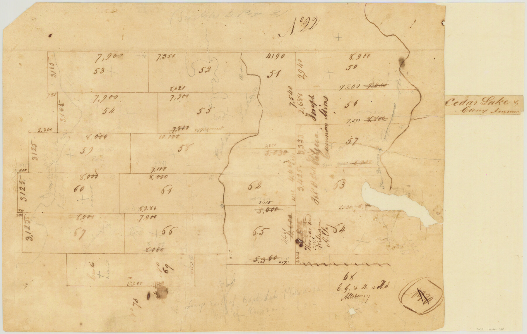
Surveys East of Cedar Lake
Atlas D, Sketch 22 (D-22)
D-22
-
Map/Doc
210
-
Collection
General Map Collection
-
Object Dates
1824 (Creation Date)
-
People and Organizations
[William Selkirk] (Surveyor/Engineer)
-
Counties
Brazoria Matagorda
-
Subjects
Atlas
-
Height x Width
13.3 x 20.9 inches
33.8 x 53.1 cm
-
Medium
paper, manuscript
-
Comments
Conserved in 2004.
-
Features
Cedar Lake Creek
San Bernardo River
Cany Creek
Pin Oak Creek
Part of: General Map Collection
Brooks County Rolled Sketch 14

Print $20.00
- Digital $50.00
Brooks County Rolled Sketch 14
Size 28.4 x 32.8 inches
Map/Doc 5339
Burleson County Working Sketch 17

Print $20.00
- Digital $50.00
Burleson County Working Sketch 17
1980
Size 20.5 x 37.6 inches
Map/Doc 67736
Reeves County Sketch File 4

Print $20.00
- Digital $50.00
Reeves County Sketch File 4
Size 32.8 x 12.2 inches
Map/Doc 12240
Dawson County Sketch File 19

Print $20.00
- Digital $50.00
Dawson County Sketch File 19
1951
Size 18.5 x 24.7 inches
Map/Doc 11295
Donley County Working Sketch 10

Print $20.00
- Digital $50.00
Donley County Working Sketch 10
1982
Size 35.1 x 41.1 inches
Map/Doc 68743
Crosby County Sketch File B

Print $20.00
- Digital $50.00
Crosby County Sketch File B
1877
Size 21.9 x 21.0 inches
Map/Doc 11259
Stonewall County Rolled Sketch 35

Print $20.00
- Digital $50.00
Stonewall County Rolled Sketch 35
1983
Size 42.7 x 34.5 inches
Map/Doc 9971
Angelina County Working Sketch 4

Print $20.00
- Digital $50.00
Angelina County Working Sketch 4
1910
Size 15.0 x 13.3 inches
Map/Doc 67084
Henderson County Sketch File 24

Print $20.00
- Digital $50.00
Henderson County Sketch File 24
1974
Size 27.4 x 24.1 inches
Map/Doc 11759
Fort Bend County Rolled Sketch 17

Print $20.00
- Digital $50.00
Fort Bend County Rolled Sketch 17
1997
Size 28.0 x 38.5 inches
Map/Doc 5901
Southern Part of Laguna Madre

Print $20.00
- Digital $50.00
Southern Part of Laguna Madre
1992
Size 44.9 x 35.0 inches
Map/Doc 73549
Runnels County Working Sketch Graphic Index

Print $20.00
- Digital $50.00
Runnels County Working Sketch Graphic Index
1948
Size 46.8 x 36.9 inches
Map/Doc 76687
You may also like
Flight Mission No. CRC-4R, Frame 180, Chambers County

Print $20.00
- Digital $50.00
Flight Mission No. CRC-4R, Frame 180, Chambers County
1956
Size 18.6 x 22.2 inches
Map/Doc 84931
Glasscock County Rolled Sketch 4

Print $20.00
- Digital $50.00
Glasscock County Rolled Sketch 4
1928
Size 26.7 x 20.9 inches
Map/Doc 6015
Flight Mission No. BRA-7M, Frame 133, Jefferson County

Print $20.00
- Digital $50.00
Flight Mission No. BRA-7M, Frame 133, Jefferson County
1953
Size 18.6 x 22.3 inches
Map/Doc 85527
Orange County Working Sketch 37

Print $40.00
- Digital $50.00
Orange County Working Sketch 37
1962
Size 37.7 x 54.0 inches
Map/Doc 71369
Chart showing the relative positions of the lights in the Eighth Light House District extending from Cedar Keys, Florida to Rio Grande, Texas

Print $20.00
- Digital $50.00
Chart showing the relative positions of the lights in the Eighth Light House District extending from Cedar Keys, Florida to Rio Grande, Texas
1876
Size 24.6 x 18.3 inches
Map/Doc 72679
Calhoun County Rolled Sketch 30

Print $20.00
- Digital $50.00
Calhoun County Rolled Sketch 30
1974
Size 18.5 x 27.6 inches
Map/Doc 5490
Map of Tascosa, Oldham County, Texas

Print $40.00
- Digital $50.00
Map of Tascosa, Oldham County, Texas
Size 34.8 x 66.8 inches
Map/Doc 89711
Amistad International Reservoir on Rio Grande 75

Print $20.00
- Digital $50.00
Amistad International Reservoir on Rio Grande 75
1949
Size 28.5 x 40.1 inches
Map/Doc 75503
Harris County Historic Topographic 18

Print $20.00
- Digital $50.00
Harris County Historic Topographic 18
1916
Size 29.4 x 23.0 inches
Map/Doc 65828
Presidio County Sketch File 66

Print $6.00
- Digital $50.00
Presidio County Sketch File 66
1940
Size 11.4 x 8.7 inches
Map/Doc 34656
Fractional Township No. 8 South Range No. 2 West of the Indian Meridian, Indian Territory

Print $20.00
- Digital $50.00
Fractional Township No. 8 South Range No. 2 West of the Indian Meridian, Indian Territory
1898
Size 19.2 x 24.4 inches
Map/Doc 75196
[Sketch showing Blocks 1, B18 and E.L. & RR. Co. Blocks 2, 8 and 97]
![89950, [Sketch showing Blocks 1, B18 and E.L. & RR. Co. Blocks 2, 8 and 97], Twichell Survey Records](https://historictexasmaps.com/wmedia_w700/maps/89950-1.tif.jpg)
Print $40.00
- Digital $50.00
[Sketch showing Blocks 1, B18 and E.L. & RR. Co. Blocks 2, 8 and 97]
Size 55.1 x 44.9 inches
Map/Doc 89950