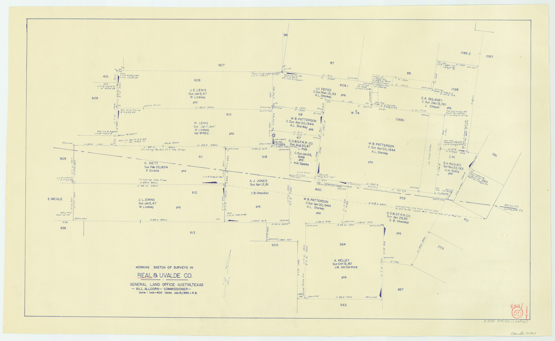
Real County Working Sketch 55
-
Map/Doc
71947
-
Collection
General Map Collection
-
Object Dates
7/13/1960 (Creation Date)
-
Counties
Real Uvalde
-
Subjects
Surveying Working Sketch
-
Height x Width
21.6 x 35.1 inches
54.9 x 89.2 cm
-
Scale
1" = 400 varas
Part of: General Map Collection
Fractional Township No. 7 South Range No. 15 East of the Indian Meridian, Indian Territory

Print $20.00
- Digital $50.00
Fractional Township No. 7 South Range No. 15 East of the Indian Meridian, Indian Territory
1896
Size 19.2 x 24.3 inches
Map/Doc 75226
Haskell County Working Sketch 2

Print $3.00
- Digital $50.00
Haskell County Working Sketch 2
1914
Size 14.9 x 10.1 inches
Map/Doc 66060
Aransas County Sketch File 21

Print $2.00
- Digital $50.00
Aransas County Sketch File 21
Size 8.0 x 8.9 inches
Map/Doc 13157
Newton County Aerial Photograph Index Sheet 4

Print $20.00
- Digital $50.00
Newton County Aerial Photograph Index Sheet 4
1953
Size 23.8 x 16.5 inches
Map/Doc 83733
Burleson County Working Sketch 4

Print $20.00
- Digital $50.00
Burleson County Working Sketch 4
1979
Size 33.3 x 35.6 inches
Map/Doc 67723
Navigation Maps of Gulf Intracoastal Waterway, Port Arthur to Brownsville, Texas

Print $4.00
- Digital $50.00
Navigation Maps of Gulf Intracoastal Waterway, Port Arthur to Brownsville, Texas
1951
Size 16.7 x 21.5 inches
Map/Doc 65441
Clay County Sketch File 5

Print $5.00
- Digital $50.00
Clay County Sketch File 5
1859
Size 8.6 x 3.8 inches
Map/Doc 18393

Runnels County Rolled Sketch 48

Print $20.00
- Digital $50.00
Runnels County Rolled Sketch 48
Size 32.4 x 36.7 inches
Map/Doc 7533
Crockett County Working Sketch 92

Print $20.00
- Digital $50.00
Crockett County Working Sketch 92
1978
Size 39.5 x 41.2 inches
Map/Doc 68425
San Augustine County Working Sketch 17

Print $20.00
- Digital $50.00
San Augustine County Working Sketch 17
1963
Size 20.3 x 21.5 inches
Map/Doc 63705
Leon County Working Sketch 47

Print $20.00
- Digital $50.00
Leon County Working Sketch 47
1980
Size 29.3 x 25.8 inches
Map/Doc 70446
You may also like
Map of Reeves County, 1892

Print $20.00
- Digital $50.00
Map of Reeves County, 1892
1892
Size 35.8 x 46.3 inches
Map/Doc 89708
Flight Mission No. DCL-7C, Frame 12, Kenedy County

Print $20.00
- Digital $50.00
Flight Mission No. DCL-7C, Frame 12, Kenedy County
1943
Size 15.4 x 15.3 inches
Map/Doc 86004
Limestone County, 1922

Print $40.00
- Digital $50.00
Limestone County, 1922
1922
Size 36.4 x 50.1 inches
Map/Doc 89704
Hardin County Sketch File 30

Print $6.00
- Digital $50.00
Hardin County Sketch File 30
Size 6.5 x 8.1 inches
Map/Doc 25157
Working Sketch Hale County

Print $20.00
- Digital $50.00
Working Sketch Hale County
1909
Size 17.9 x 20.9 inches
Map/Doc 90745
University Lands Blocks 1-13 & Block 58, Crockett, Reagan & Upton Counties

Print $20.00
- Digital $50.00
University Lands Blocks 1-13 & Block 58, Crockett, Reagan & Upton Counties
1936
Size 37.3 x 42.0 inches
Map/Doc 2445
Henderson County Working Sketch 29

Print $20.00
- Digital $50.00
Henderson County Working Sketch 29
1961
Size 39.3 x 41.9 inches
Map/Doc 66162
Flight Mission No. DAG-17K, Frame 65, Matagorda County

Print $20.00
- Digital $50.00
Flight Mission No. DAG-17K, Frame 65, Matagorda County
1952
Size 17.5 x 16.1 inches
Map/Doc 86327
Throckmorton County

Print $20.00
- Digital $50.00
Throckmorton County
1943
Size 46.7 x 37.4 inches
Map/Doc 95653

Current Miscellaneous File 47

Print $12.00
- Digital $50.00
Current Miscellaneous File 47
1920
Size 16.3 x 9.2 inches
Map/Doc 73992
Refugio County Working Sketch 12

Print $40.00
- Digital $50.00
Refugio County Working Sketch 12
1949
Size 42.6 x 48.2 inches
Map/Doc 63521