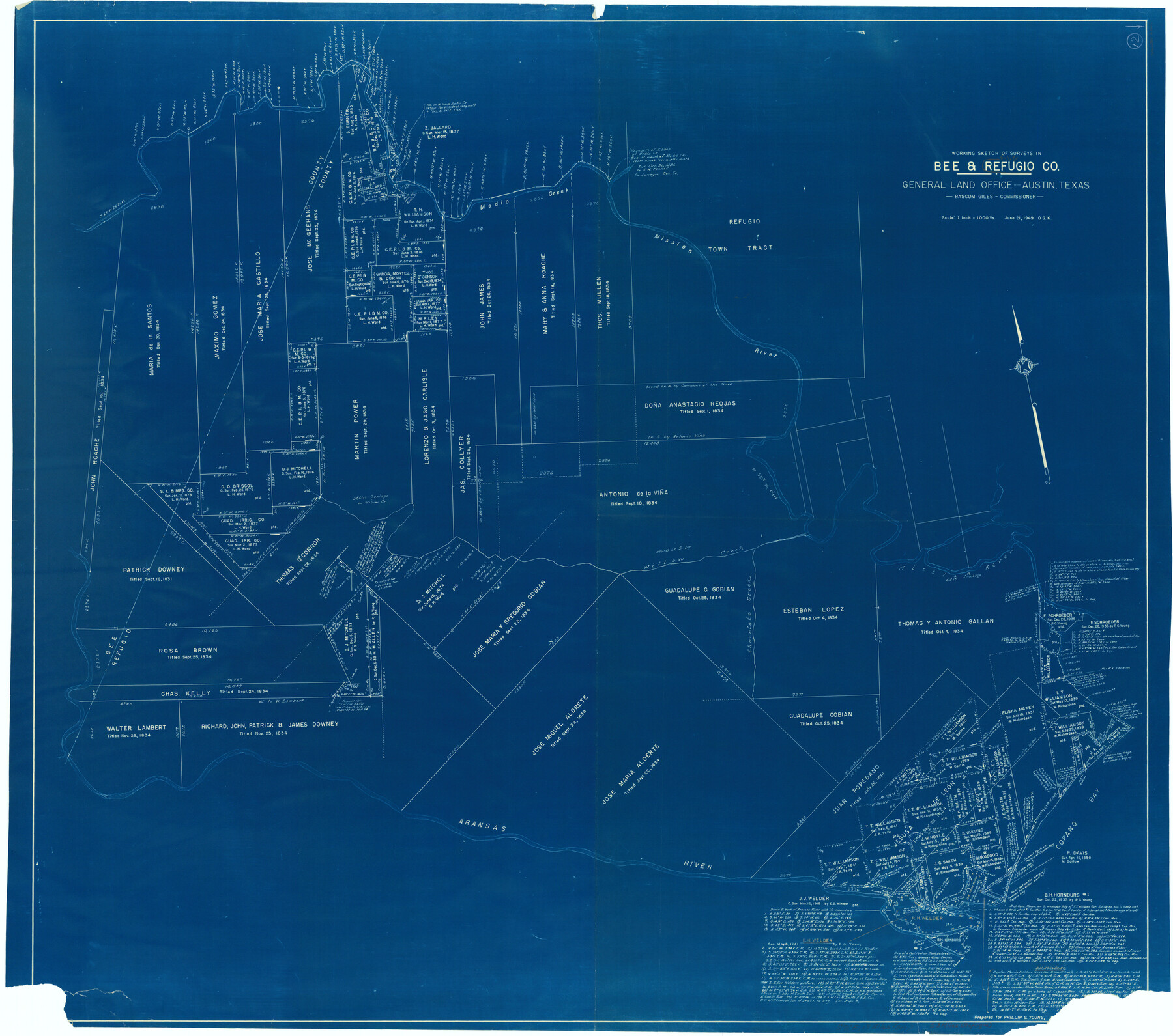
Refugio County Working Sketch 12
-
Map/Doc
63521
-
Collection
General Map Collection
-
Object Dates
6/21/1949 (Creation Date)
-
People and Organizations
Otto G. Kurio (Draftsman)
-
Counties
Refugio Bee
-
Subjects
Surveying Working Sketch
-
Height x Width
42.6 x 48.2 inches
108.2 x 122.4 cm
-
Scale
1" = 1000 varas
Part of: General Map Collection
Dickens County Boundary File 3

Print $28.00
- Digital $50.00
Dickens County Boundary File 3
Size 14.1 x 8.8 inches
Map/Doc 52541
Ward County Working Sketch 26

Print $20.00
- Digital $50.00
Ward County Working Sketch 26
1964
Size 38.2 x 24.5 inches
Map/Doc 72332
Uvalde County Sketch File 7

Print $6.00
- Digital $50.00
Uvalde County Sketch File 7
Size 14.5 x 11.4 inches
Map/Doc 38962
Wichita County Working Sketch 18

Print $20.00
- Digital $50.00
Wichita County Working Sketch 18
1948
Size 34.9 x 20.8 inches
Map/Doc 72528
University Land, Pecos County, Texas

Print $20.00
- Digital $50.00
University Land, Pecos County, Texas
1932
Size 35.7 x 47.5 inches
Map/Doc 2433
Flight Mission No. DIX-8P, Frame 58, Aransas County

Print $20.00
- Digital $50.00
Flight Mission No. DIX-8P, Frame 58, Aransas County
1956
Size 18.6 x 22.5 inches
Map/Doc 83889
Atascosa County Sketch File 1

Print $8.00
- Digital $50.00
Atascosa County Sketch File 1
Size 8.1 x 6.1 inches
Map/Doc 13718
Polk County Rolled Sketch TS

Print $40.00
- Digital $50.00
Polk County Rolled Sketch TS
1937
Size 37.9 x 58.9 inches
Map/Doc 9755
Live Oak County Rolled Sketch 10A

Print $20.00
- Digital $50.00
Live Oak County Rolled Sketch 10A
1983
Size 38.4 x 43.6 inches
Map/Doc 9457
Tarrant County Working Sketch 25

Print $20.00
- Digital $50.00
Tarrant County Working Sketch 25
2004
Size 27.3 x 38.0 inches
Map/Doc 83585
Childress County Sketch File 21

Print $10.00
- Digital $50.00
Childress County Sketch File 21
1896
Size 9.1 x 5.8 inches
Map/Doc 18298
[Map showing the location of the Pecos Valley Railway through H. &. G. N. R.R. Co. Land in Reeves Co., Texas]
![64707, [Map showing the location of the Pecos Valley Railway through H. &. G. N. R.R. Co. Land in Reeves Co., Texas], General Map Collection](https://historictexasmaps.com/wmedia_w700/maps/64707.tif.jpg)
Print $40.00
- Digital $50.00
[Map showing the location of the Pecos Valley Railway through H. &. G. N. R.R. Co. Land in Reeves Co., Texas]
1891
Size 39.1 x 123.6 inches
Map/Doc 64707
You may also like
Webb County Rolled Sketch 66

Print $20.00
- Digital $50.00
Webb County Rolled Sketch 66
1957
Size 31.9 x 21.8 inches
Map/Doc 8215
Hudspeth County Rolled Sketch 55

Print $49.00
- Digital $50.00
Hudspeth County Rolled Sketch 55
1977
Size 10.0 x 15.0 inches
Map/Doc 45968
Red River County Sketch File 10

Print $15.00
- Digital $50.00
Red River County Sketch File 10
1863
Size 9.1 x 7.4 inches
Map/Doc 35121
Harrison County Working Sketch 16

Print $20.00
- Digital $50.00
Harrison County Working Sketch 16
1966
Size 29.2 x 33.0 inches
Map/Doc 66036
Brooks County Rolled Sketch 24

Print $20.00
- Digital $50.00
Brooks County Rolled Sketch 24
1945
Size 42.8 x 23.7 inches
Map/Doc 5344
Old Miscellaneous File 18

Print $4.00
- Digital $50.00
Old Miscellaneous File 18
1913
Size 11.3 x 8.6 inches
Map/Doc 75497
Brewster County Rolled Sketch 100

Print $133.00
- Digital $50.00
Brewster County Rolled Sketch 100
1893
Size 10.1 x 15.4 inches
Map/Doc 43055
Nueces County Sketch File 13a

Print $12.00
- Digital $50.00
Nueces County Sketch File 13a
1889
Size 13.8 x 9.0 inches
Map/Doc 32539
Presidio County Rolled Sketch 21

Print $20.00
- Digital $50.00
Presidio County Rolled Sketch 21
1885
Size 35.5 x 42.8 inches
Map/Doc 9764
Map of Michigan, Wisconsin and part of Iowa to illustrate Olney's school geography

Print $20.00
- Digital $50.00
Map of Michigan, Wisconsin and part of Iowa to illustrate Olney's school geography
1844
Size 9.5 x 12.1 inches
Map/Doc 93542
St. Louis, Brownsville & Mexico Railway Location Map from Mile 20 to Mile 40

Print $40.00
- Digital $50.00
St. Louis, Brownsville & Mexico Railway Location Map from Mile 20 to Mile 40
1906
Size 19.3 x 67.5 inches
Map/Doc 64077
Kendall County Sketch File 4

Print $4.00
- Digital $50.00
Kendall County Sketch File 4
Size 7.8 x 8.6 inches
Map/Doc 28684