Red River County Sketch File 10
[Sketch and explanation southwest of Clarksville near the B.M. Ballard and John Price surveys in Red River and Lamar Counties]
-
Map/Doc
35121
-
Collection
General Map Collection
-
Object Dates
2/1863 (Creation Date)
3/14/1863 (File Date)
-
People and Organizations
William D. Orr (Surveyor/Engineer)
-
Counties
Red River Lamar
-
Subjects
Surveying Sketch File
-
Height x Width
9.1 x 7.4 inches
23.1 x 18.8 cm
-
Medium
paper, manuscript
Part of: General Map Collection
Flight Mission No. DIX-6P, Frame 115, Aransas County


Print $20.00
- Digital $50.00
Flight Mission No. DIX-6P, Frame 115, Aransas County
1956
Size 19.3 x 22.8 inches
Map/Doc 83821
Nueces County Sketch File 5


Print $4.00
- Digital $50.00
Nueces County Sketch File 5
Size 8.1 x 11.0 inches
Map/Doc 32507
Crockett County Sketch File 57


Print $22.00
- Digital $50.00
Crockett County Sketch File 57
Size 12.2 x 8.9 inches
Map/Doc 19832
Dickens County Sketch File H3


Print $10.00
- Digital $50.00
Dickens County Sketch File H3
1904
Size 10.9 x 8.5 inches
Map/Doc 20876
Floyd County Working Sketch 2


Print $20.00
- Digital $50.00
Floyd County Working Sketch 2
1911
Size 41.0 x 24.8 inches
Map/Doc 69181
Map of Part of Texas Prison System, Blue Ridge State Farm, Fort Bend and Harris Counties


Print $20.00
- Digital $50.00
Map of Part of Texas Prison System, Blue Ridge State Farm, Fort Bend and Harris Counties
Size 24.1 x 26.3 inches
Map/Doc 62981
Rusk County Working Sketch Graphic Index
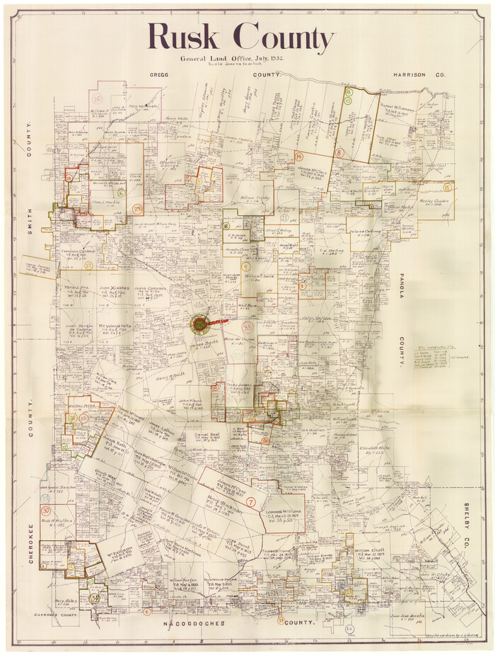

Print $20.00
- Digital $50.00
Rusk County Working Sketch Graphic Index
1932
Size 45.6 x 34.9 inches
Map/Doc 76688
Cass County Working Sketch 22
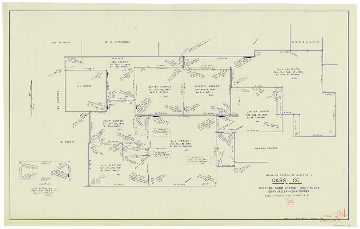

Print $20.00
- Digital $50.00
Cass County Working Sketch 22
1961
Size 21.7 x 34.0 inches
Map/Doc 67925
Aransas County Rolled Sketch 17

Aransas County Rolled Sketch 17
1953
Size 10.5 x 15.2 inches
Map/Doc 42219
Crockett County Sketch File 73
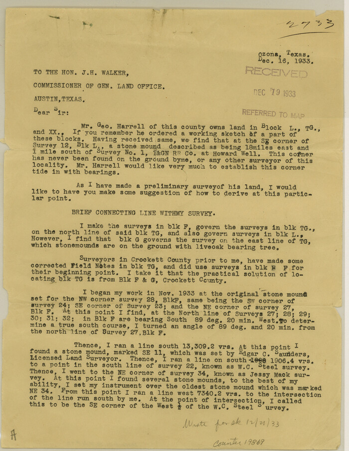

Print $6.00
- Digital $50.00
Crockett County Sketch File 73
1933
Size 11.2 x 8.7 inches
Map/Doc 19869
Plat of Resurvey of Sections 5, 7 and 8, T. 5S., R. 14W. Indian Meridian, Oklahoma


Print $4.00
- Digital $50.00
Plat of Resurvey of Sections 5, 7 and 8, T. 5S., R. 14W. Indian Meridian, Oklahoma
1917
Size 18.5 x 22.6 inches
Map/Doc 75140
Coast of Texas and its defences
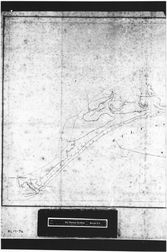

Print $20.00
- Digital $50.00
Coast of Texas and its defences
1864
Size 27.3 x 18.1 inches
Map/Doc 72683
You may also like
Williams Ranch Block D
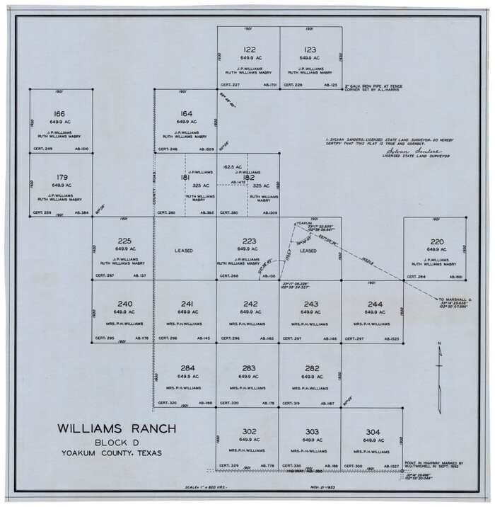

Print $20.00
- Digital $50.00
Williams Ranch Block D
1953
Size 19.3 x 19.6 inches
Map/Doc 92850
Brooks County Working Sketch 11
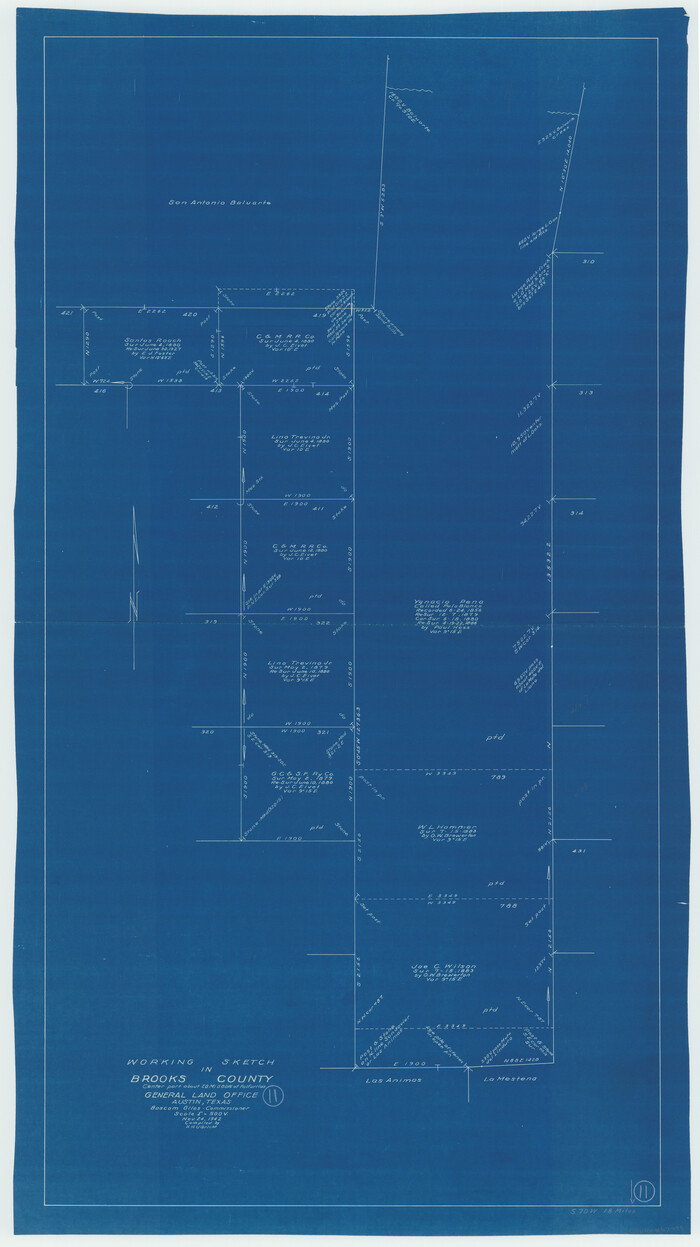

Print $20.00
- Digital $50.00
Brooks County Working Sketch 11
1942
Size 41.8 x 23.5 inches
Map/Doc 67795
Flight Mission No. DAG-16K, Frame 71, Matagorda County
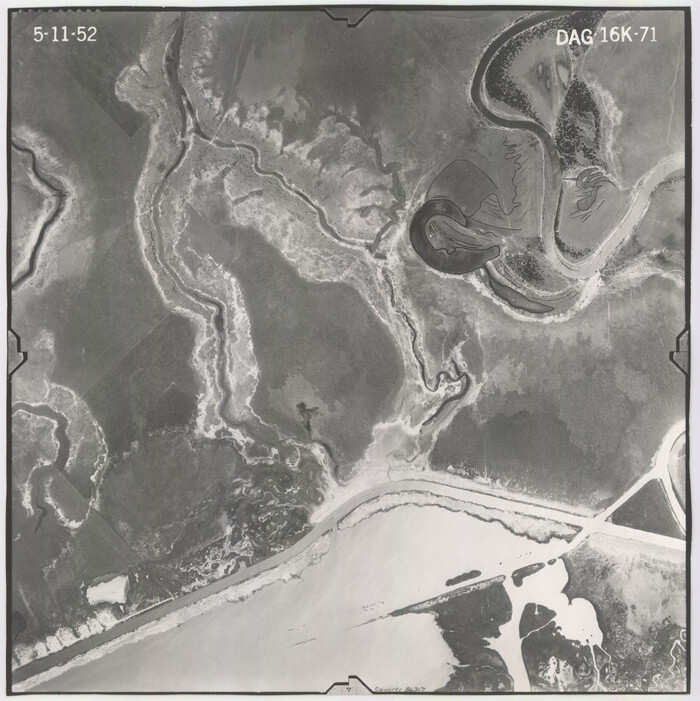

Print $20.00
- Digital $50.00
Flight Mission No. DAG-16K, Frame 71, Matagorda County
1952
Size 16.4 x 16.4 inches
Map/Doc 86317
Hale County Sketch File 27
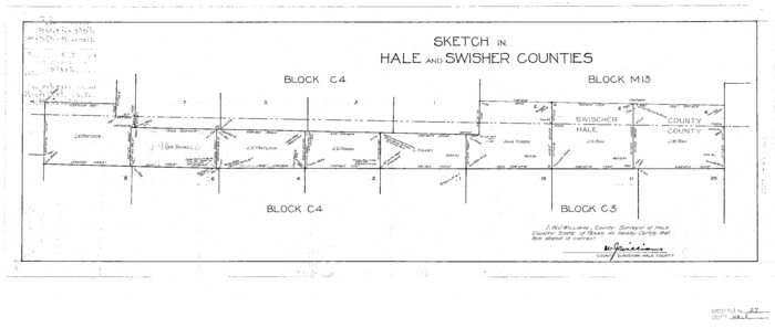

Print $20.00
- Digital $50.00
Hale County Sketch File 27
Size 12.1 x 28.5 inches
Map/Doc 11598
Map of Jasper County
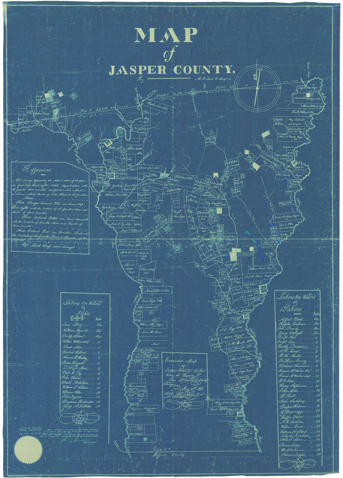

Print $20.00
- Digital $50.00
Map of Jasper County
1839
Size 40.2 x 28.8 inches
Map/Doc 78407
Gillespie County Working Sketch 7


Print $40.00
- Digital $50.00
Gillespie County Working Sketch 7
1984
Size 57.5 x 43.2 inches
Map/Doc 63170
Jackson County Sketch File 31
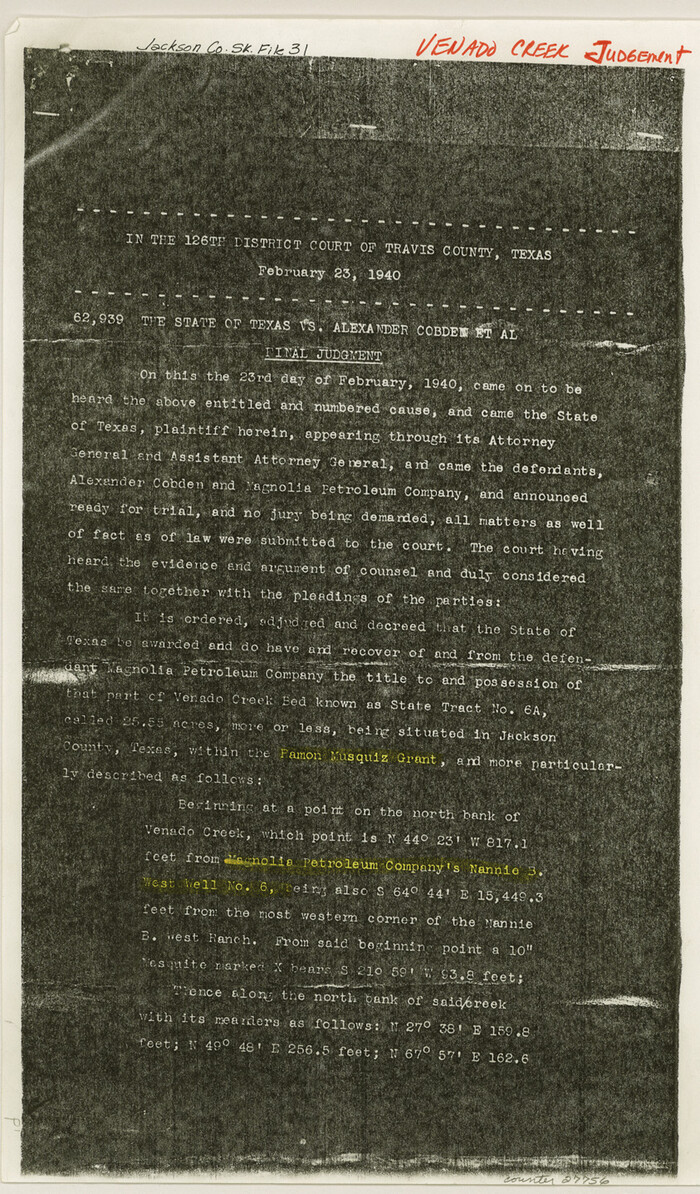

Print $18.00
- Digital $50.00
Jackson County Sketch File 31
1940
Size 14.4 x 8.4 inches
Map/Doc 27756
St Francis situated in Potter and Carson Counties, Texas

Print $20.00
- Digital $50.00
St Francis situated in Potter and Carson Counties, Texas
Size 15.1 x 19.2 inches
Map/Doc 93084
Pecos County Rolled Sketch 174


Print $20.00
- Digital $50.00
Pecos County Rolled Sketch 174
Size 23.3 x 25.0 inches
Map/Doc 7294
The Judicial District/County of Burleson. Abolished, Spring 1842

Print $20.00
The Judicial District/County of Burleson. Abolished, Spring 1842
2020
Size 14.1 x 21.7 inches
Map/Doc 96321
Bandera County Working Sketch 44

Print $20.00
- Digital $50.00
Bandera County Working Sketch 44
1980
Size 14.0 x 20.4 inches
Map/Doc 67640
Hays County Sketch File 13 and 14

Print $8.00
- Digital $50.00
Hays County Sketch File 13 and 14
1868
Size 12.4 x 8.0 inches
Map/Doc 26220
