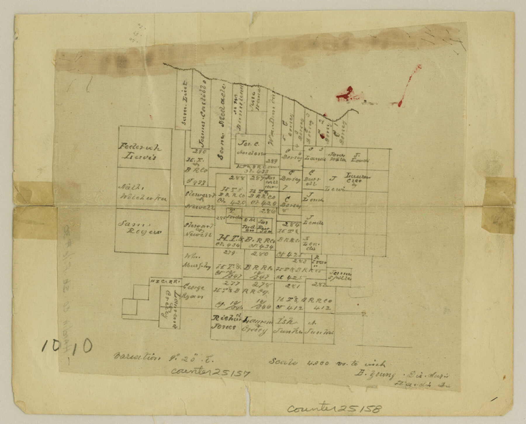
Hardin County Sketch File 30
[Sketch of surveys north of Hardin on Villiage Creek]
-
Map/Doc
25157
-
Collection
General Map Collection
-
People and Organizations
E. Young (Surveyor/Engineer)
Thielepape (Surveyor/Engineer)
-
Counties
Hardin
-
Subjects
Surveying Sketch File
-
Height x Width
6.5 x 8.1 inches
16.5 x 20.6 cm
-
Medium
paper, manuscript
-
Scale
1:4000
-
Features
[Village Creek]
Part of: General Map Collection
Clay County Sketch File 49

Print $78.00
- Digital $50.00
Clay County Sketch File 49
1928
Size 14.2 x 8.8 inches
Map/Doc 18500

Refugio County Sketch File 27

Print $18.00
- Digital $50.00
Refugio County Sketch File 27
1993
Size 11.4 x 8.8 inches
Map/Doc 35294
Houston Ship Channel, Atkinson Island to Alexander Island

Print $40.00
- Digital $50.00
Houston Ship Channel, Atkinson Island to Alexander Island
1972
Size 36.9 x 50.0 inches
Map/Doc 69901
Harrison County Sketch File 20

Print $20.00
- Digital $50.00
Harrison County Sketch File 20
1946
Size 26.4 x 21.8 inches
Map/Doc 11693
Post Route Map of the State of Texas with adjacent parts of Louisiana, Arkansas, Indian Territory, and of the Republic of Mexico showing post offices with the intermediate and mail routes in operation on the 1st of December, 1892

Print $40.00
- Digital $50.00
Post Route Map of the State of Texas with adjacent parts of Louisiana, Arkansas, Indian Territory, and of the Republic of Mexico showing post offices with the intermediate and mail routes in operation on the 1st of December, 1892
1889
Size 44.0 x 57.3 inches
Map/Doc 94080
Navigation Maps of Gulf Intracoastal Waterway, Port Arthur to Brownsville, Texas

Print $4.00
- Digital $50.00
Navigation Maps of Gulf Intracoastal Waterway, Port Arthur to Brownsville, Texas
1951
Size 16.6 x 21.2 inches
Map/Doc 65445
Aransas County Rolled Sketch 15B

Print $20.00
- Digital $50.00
Aransas County Rolled Sketch 15B
Size 19.0 x 19.8 inches
Map/Doc 76066
Briscoe County Rolled Sketch 18

Print $20.00
- Digital $50.00
Briscoe County Rolled Sketch 18
1946
Size 36.7 x 27.3 inches
Map/Doc 5332
Wichita County Working Sketch 6

Print $20.00
- Digital $50.00
Wichita County Working Sketch 6
1919
Size 24.6 x 21.4 inches
Map/Doc 72515
Morris County Rolled Sketch 2A

Print $20.00
- Digital $50.00
Morris County Rolled Sketch 2A
Size 24.2 x 19.1 inches
Map/Doc 10249
Kerr County Sketch File 1b

Print $2.00
- Digital $50.00
Kerr County Sketch File 1b
Size 8.1 x 10.2 inches
Map/Doc 28850
You may also like
Pecos County Working Sketch 67

Print $20.00
- Digital $50.00
Pecos County Working Sketch 67
1955
Size 17.7 x 18.7 inches
Map/Doc 71539
San Patricio County Rolled Sketch 29A

Print $20.00
- Digital $50.00
San Patricio County Rolled Sketch 29A
1934
Size 37.7 x 45.7 inches
Map/Doc 9895
The south west and N.E. lines of Mary Thomas and A. Morrallis surveys

Print $2.00
- Digital $50.00
The south west and N.E. lines of Mary Thomas and A. Morrallis surveys
1847
Size 9.4 x 8.1 inches
Map/Doc 336
Denton County Working Sketch 36

Print $20.00
- Digital $50.00
Denton County Working Sketch 36
2008
Size 18.5 x 29.0 inches
Map/Doc 88877
Clay County Boundary File 18

Print $12.00
- Digital $50.00
Clay County Boundary File 18
Size 14.2 x 8.5 inches
Map/Doc 51437
Dallas County Sketch File 26

Print $20.00
- Digital $50.00
Dallas County Sketch File 26
1942
Size 24.9 x 18.9 inches
Map/Doc 11289
Morris County Sketch File 5

Print $20.00
- Digital $50.00
Morris County Sketch File 5
Size 21.4 x 11.6 inches
Map/Doc 42132
Rhyne Simpson Addition No. 2, City of Lubbock Section 3, Block O

Print $20.00
- Digital $50.00
Rhyne Simpson Addition No. 2, City of Lubbock Section 3, Block O
1951
Size 12.2 x 18.4 inches
Map/Doc 92731
Ramon de la Garza 11 Leagues Houston and Robertson Districts

Print $2.00
- Digital $50.00
Ramon de la Garza 11 Leagues Houston and Robertson Districts
Size 11.5 x 8.5 inches
Map/Doc 181
Coke County Rolled Sketch 14A

Print $20.00
- Digital $50.00
Coke County Rolled Sketch 14A
Size 21.0 x 14.1 inches
Map/Doc 5515
Terrell County Working Sketch 61

Print $20.00
- Digital $50.00
Terrell County Working Sketch 61
1962
Size 20.3 x 34.3 inches
Map/Doc 69582
Galveston County NRC Article 33.136 Sketch 34

Print $20.00
- Digital $50.00
Galveston County NRC Article 33.136 Sketch 34
2005
Size 24.5 x 18.5 inches
Map/Doc 83405