Morris County Rolled Sketch 2A
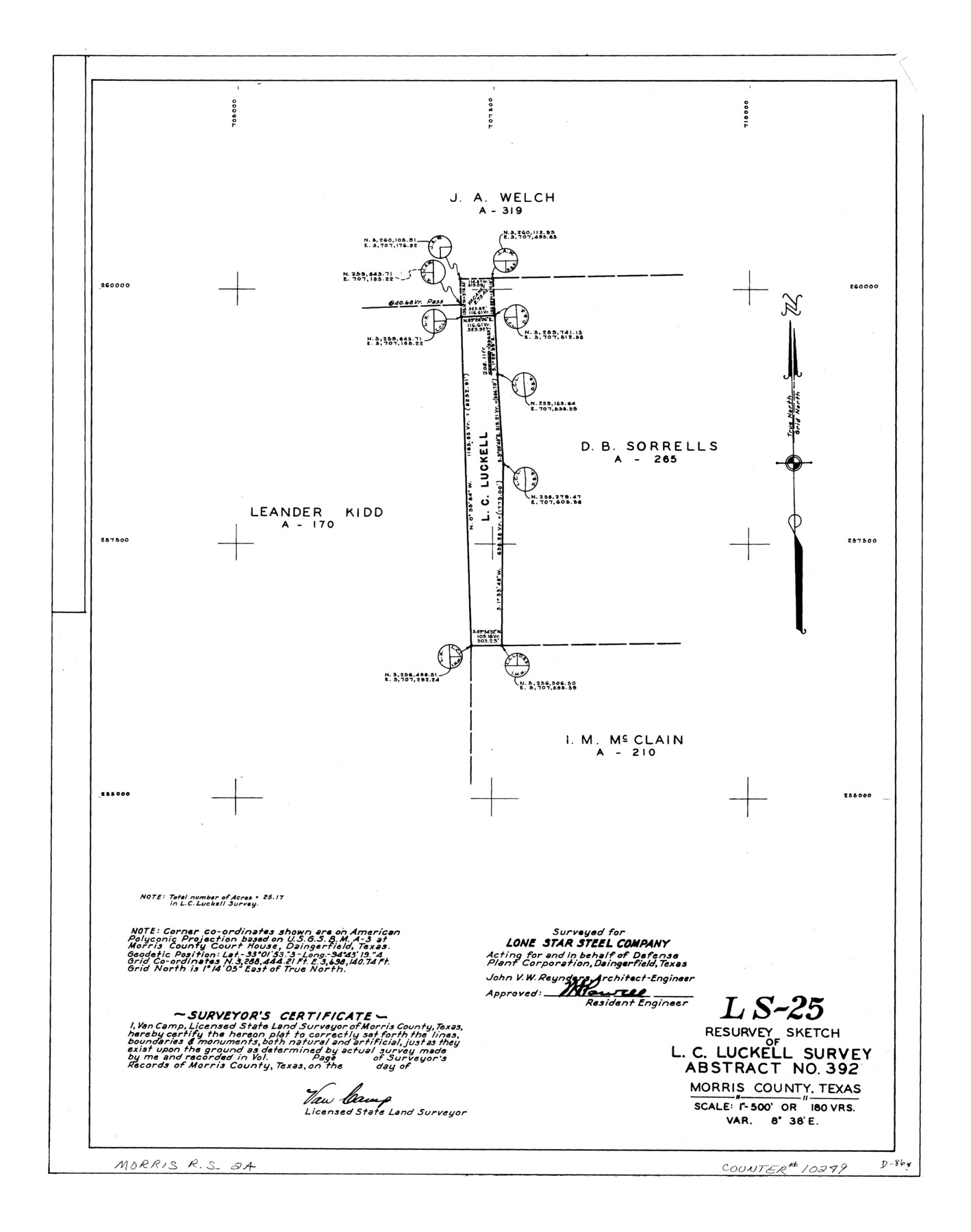
LS-25 - Resurvey sketch of L.C. Luckell survey, abstract no. 392, Morris County, Texas
-
Map/Doc
10249
-
Collection
General Map Collection
-
People and Organizations
Van Camp (Surveyor/Engineer)
-
Counties
Morris
-
Subjects
Surveying Rolled Sketch
-
Height x Width
24.2 x 19.1 inches
61.5 x 48.5 cm
-
Medium
linen, manuscript
-
Scale
1" = 180 varas
-
Comments
See Morris County Rolled Sketch 2 (9550) for map of all retracement surveys made for Lone Star Steel Company.
Related maps
Morris County Rolled Sketch 2

Print $40.00
- Digital $50.00
Morris County Rolled Sketch 2
1944
Size 59.4 x 43.5 inches
Map/Doc 9550
Part of: General Map Collection
Shackelford County Sketch File 9

Print $20.00
- Digital $50.00
Shackelford County Sketch File 9
1918
Size 24.3 x 15.5 inches
Map/Doc 12315
Ector County Sketch File 3

Print $20.00
- Digital $50.00
Ector County Sketch File 3
1889
Size 16.2 x 35.5 inches
Map/Doc 11417
Hardeman County Sketch File 17

Print $2.00
- Digital $50.00
Hardeman County Sketch File 17
Size 7.8 x 6.7 inches
Map/Doc 25025
Edwards County Working Sketch 105

Print $40.00
- Digital $50.00
Edwards County Working Sketch 105
1972
Size 55.3 x 34.2 inches
Map/Doc 68981

Pecos County Working Sketch 80

Print $20.00
- Digital $50.00
Pecos County Working Sketch 80
1960
Size 25.0 x 31.8 inches
Map/Doc 71552
Denton County Working Sketch 4

Print $20.00
- Digital $50.00
Denton County Working Sketch 4
1940
Size 23.6 x 24.6 inches
Map/Doc 68609

Fannin County Sketch File 2

Print $4.00
- Digital $50.00
Fannin County Sketch File 2
1853
Size 12.4 x 7.9 inches
Map/Doc 22445
Flight Mission No. CRC-5R, Frame 26, Chambers County

Print $20.00
- Digital $50.00
Flight Mission No. CRC-5R, Frame 26, Chambers County
1956
Size 18.6 x 22.5 inches
Map/Doc 84948
Comal County Sketch File 20

Print $6.00
- Digital $50.00
Comal County Sketch File 20
1857
Size 12.4 x 8.1 inches
Map/Doc 19039
Robertson County Sketch File 12

Print $18.00
Robertson County Sketch File 12
1987
Size 11.4 x 8.8 inches
Map/Doc 35404
You may also like
Martin County Rolled Sketch 11

Print $20.00
- Digital $50.00
Martin County Rolled Sketch 11
Size 19.3 x 25.0 inches
Map/Doc 90051
Fort Bend County Boundary File 1a

Print $8.00
- Digital $50.00
Fort Bend County Boundary File 1a
Size 12.9 x 8.1 inches
Map/Doc 53555
Bee County Working Sketch Graphic Index

Print $20.00
- Digital $50.00
Bee County Working Sketch Graphic Index
1950
Size 41.6 x 45.4 inches
Map/Doc 76464
Right of Way and Track Map of The Missouri, Kansas & Texas Railway of Texas

Print $40.00
- Digital $50.00
Right of Way and Track Map of The Missouri, Kansas & Texas Railway of Texas
1918
Size 25.4 x 75.5 inches
Map/Doc 64533
General Highway Map, Nacogdoches County, Texas

Print $20.00
General Highway Map, Nacogdoches County, Texas
1940
Size 18.5 x 24.7 inches
Map/Doc 79205
Working Sketch in Hockley, Lamb, and Lubbock Counties

Print $20.00
- Digital $50.00
Working Sketch in Hockley, Lamb, and Lubbock Counties
1911
Size 16.7 x 26.6 inches
Map/Doc 92213
Harris County Rolled Sketch 88

Print $20.00
- Digital $50.00
Harris County Rolled Sketch 88
1935
Size 34.4 x 23.0 inches
Map/Doc 6121
Hale County Sketch File D

Print $40.00
- Digital $50.00
Hale County Sketch File D
1901
Size 16.5 x 12.2 inches
Map/Doc 24721
Harris County Sketch File 75

Print $4.00
- Digital $50.00
Harris County Sketch File 75
1948
Size 11.7 x 9.0 inches
Map/Doc 25544
Travis County Working Sketch 56

Print $20.00
- Digital $50.00
Travis County Working Sketch 56
1989
Size 19.7 x 20.4 inches
Map/Doc 69440

Matagorda County Rolled Sketch 37A

Print $40.00
- Digital $50.00
Matagorda County Rolled Sketch 37A
Size 48.7 x 41.1 inches
Map/Doc 10195