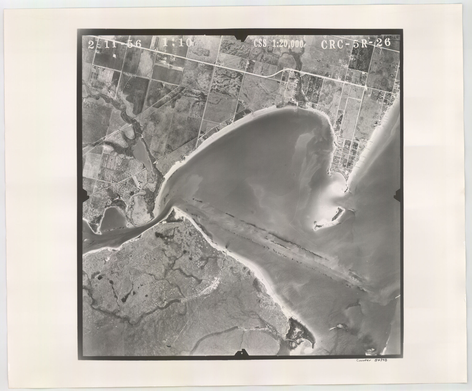
Flight Mission No. CRC-5R, Frame 26, Chambers County
CRC-5R-26
-
Map/Doc
84948
-
Collection
General Map Collection
-
Object Dates
1956/2/11 (Creation Date)
-
People and Organizations
U. S. Department of Agriculture (Publisher)
-
Counties
Chambers
-
Subjects
Aerial Photograph
-
Height x Width
18.6 x 22.5 inches
47.2 x 57.2 cm
-
Comments
Flown by Jack Ammann Photogrammetric Engineers, Inc. of San Antonio, Texas.
Part of: General Map Collection
Karte von den Vermessungen im Grant und in der Gegend zwischen demselben und Neu Braunfels

Print $20.00
- Digital $50.00
Karte von den Vermessungen im Grant und in der Gegend zwischen demselben und Neu Braunfels
1850
Size 24.0 x 19.0 inches
Map/Doc 94446
Zapata County

Print $40.00
- Digital $50.00
Zapata County
1935
Size 56.2 x 41.9 inches
Map/Doc 95683
Instruccion Publica

Print $20.00
- Digital $50.00
Instruccion Publica
Size 26.0 x 34.2 inches
Map/Doc 96801
Floyd County Working Sketch 3

Print $20.00
- Digital $50.00
Floyd County Working Sketch 3
1948
Size 27.4 x 22.8 inches
Map/Doc 69182
[Rio Grande & Eagle Pass - Stockdale to Cuero]
![64047, [Rio Grande & Eagle Pass - Stockdale to Cuero], General Map Collection](https://historictexasmaps.com/wmedia_w700/maps/64047.tif.jpg)
Print $40.00
- Digital $50.00
[Rio Grande & Eagle Pass - Stockdale to Cuero]
Size 20.6 x 121.5 inches
Map/Doc 64047
Shackelford County Sketch File 14

Print $28.00
- Digital $50.00
Shackelford County Sketch File 14
1874
Size 14.4 x 8.8 inches
Map/Doc 36585
Polk County Rolled Sketch 34

Print $20.00
- Digital $50.00
Polk County Rolled Sketch 34
2023
Size 23.9 x 36.2 inches
Map/Doc 97193
Flight Mission No. DCL-7C, Frame 97, Kenedy County

Print $20.00
- Digital $50.00
Flight Mission No. DCL-7C, Frame 97, Kenedy County
1943
Size 15.3 x 15.2 inches
Map/Doc 86069
Webb County Working Sketch 96

Print $20.00
- Digital $50.00
Webb County Working Sketch 96
1994
Size 36.1 x 36.3 inches
Map/Doc 72463
Val Verde County Working Sketch 59

Print $20.00
- Digital $50.00
Val Verde County Working Sketch 59
1958
Size 38.6 x 35.0 inches
Map/Doc 72194
Intracoastal Waterway in Texas - Corpus Christi to Point Isabel including Arroyo Colorado to Mo. Pac. R.R. Bridge Near Harlingen

Print $20.00
- Digital $50.00
Intracoastal Waterway in Texas - Corpus Christi to Point Isabel including Arroyo Colorado to Mo. Pac. R.R. Bridge Near Harlingen
1934
Size 22.0 x 32.6 inches
Map/Doc 61886
Map of Lavaca County

Print $20.00
- Digital $50.00
Map of Lavaca County
1853
Size 20.1 x 20.4 inches
Map/Doc 3801
You may also like
Hudspeth County Working Sketch 16

Print $40.00
- Digital $50.00
Hudspeth County Working Sketch 16
1957
Size 21.1 x 71.2 inches
Map/Doc 66298
[Block K, Public School Land]
![92907, [Block K, Public School Land], Twichell Survey Records](https://historictexasmaps.com/wmedia_w700/maps/92907-1.tif.jpg)
Print $20.00
- Digital $50.00
[Block K, Public School Land]
1902
Size 17.9 x 32.8 inches
Map/Doc 92907
Florida called by ye French Louisiana & c.

Print $20.00
- Digital $50.00
Florida called by ye French Louisiana & c.
1728
Size 9.6 x 14.3 inches
Map/Doc 94110
McLennan County Sketch File 13a

Print $6.00
- Digital $50.00
McLennan County Sketch File 13a
Size 8.1 x 7.8 inches
Map/Doc 31269
Fisher County Sketch File 17

Print $6.00
- Digital $50.00
Fisher County Sketch File 17
Size 11.0 x 12.5 inches
Map/Doc 22587
Brazos River, East Waco Sheet

Print $6.00
- Digital $50.00
Brazos River, East Waco Sheet
1928
Size 31.6 x 25.9 inches
Map/Doc 65283
Gregg County Sketch File 14

Print $6.00
- Digital $50.00
Gregg County Sketch File 14
1946
Size 14.3 x 8.8 inches
Map/Doc 24613
[T. & N. O. Blks. 9T and 10T and surrounding areas]
![90413, [T. & N. O. Blks. 9T and 10T and surrounding areas], Twichell Survey Records](https://historictexasmaps.com/wmedia_w700/maps/90413-1.tif.jpg)
Print $20.00
- Digital $50.00
[T. & N. O. Blks. 9T and 10T and surrounding areas]
Size 14.6 x 21.0 inches
Map/Doc 90413
Map of Denton County

Print $20.00
- Digital $50.00
Map of Denton County
1877
Size 20.7 x 18.6 inches
Map/Doc 3475
Galveston Entrance

Print $20.00
- Digital $50.00
Galveston Entrance
1856
Size 16.4 x 20.3 inches
Map/Doc 69857
Right of Way & Track Map, St. Louis, Brownsville & Mexico Ry. operated by St. Louis, Brownsville & Mexico Ry. Co.

Print $40.00
- Digital $50.00
Right of Way & Track Map, St. Louis, Brownsville & Mexico Ry. operated by St. Louis, Brownsville & Mexico Ry. Co.
1919
Size 25.5 x 57.0 inches
Map/Doc 64626
Comal County Working Sketch 13

Print $20.00
- Digital $50.00
Comal County Working Sketch 13
1988
Size 32.6 x 21.3 inches
Map/Doc 68179