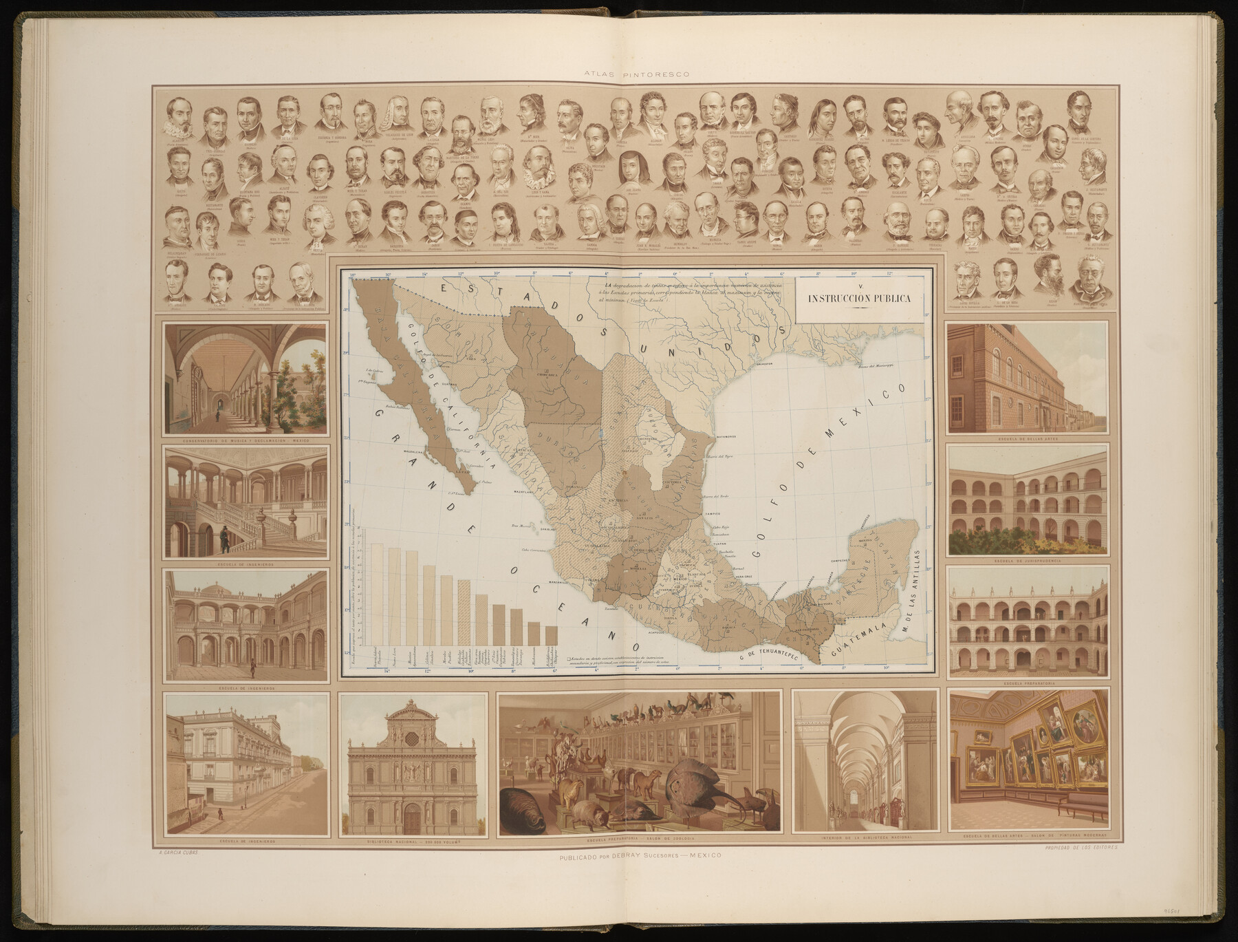
Instruccion Publica
-
Map/Doc
96801
-
Collection
General Map Collection
-
Object Dates
1897 (Publication Date)
-
People and Organizations
Debray Sucesores (Publisher)
Antonio Garcia Cubas (Cartographer)
-
Subjects
Atlas Mexico
-
Height x Width
26.0 x 34.2 inches
66.0 x 86.9 cm
-
Medium
paper, etching/engraving/lithograph
-
Comments
Map 5 of 13 from "Atlas Pintoresco e Historico de los Estados Unidos Mexicanos" (96796 - PDF)
Related maps
Atlas Pintoresco e Historico de los Estados Unidos Mexicanos

Atlas Pintoresco e Historico de los Estados Unidos Mexicanos
Map/Doc 96796
Part of: General Map Collection
Nolan County Rolled Sketch 4

Print $20.00
- Digital $50.00
Nolan County Rolled Sketch 4
1982
Size 21.7 x 25.2 inches
Map/Doc 6862
Nueces County Working Sketch 3

Print $20.00
- Digital $50.00
Nueces County Working Sketch 3
1972
Size 38.9 x 45.0 inches
Map/Doc 71305
Frio County Sketch File 1

Print $8.00
- Digital $50.00
Frio County Sketch File 1
1848
Size 8.6 x 7.7 inches
Map/Doc 23101
Haskell County Working Sketch Graphic Index

Print $20.00
- Digital $50.00
Haskell County Working Sketch Graphic Index
1933
Size 43.3 x 37.7 inches
Map/Doc 76572
Hays County Sketch File 29

Print $20.00
- Digital $50.00
Hays County Sketch File 29
1938
Size 21.3 x 31.7 inches
Map/Doc 11751
Lamar County State Real Property Sketch 1

Print $20.00
- Digital $50.00
Lamar County State Real Property Sketch 1
2013
Size 24.0 x 36.0 inches
Map/Doc 93658
Map of Fisher and Miller's Colony made from the records in the Office of the District Surveyor of Bexar comprising also all the recent surveys

Print $20.00
- Digital $50.00
Map of Fisher and Miller's Colony made from the records in the Office of the District Surveyor of Bexar comprising also all the recent surveys
1855
Size 23.7 x 35.2 inches
Map/Doc 1971
Lampasas County Sketch File 19

Print $4.00
- Digital $50.00
Lampasas County Sketch File 19
1888
Size 10.3 x 8.2 inches
Map/Doc 29432
Foard County Rolled Sketch 13

Print $20.00
- Digital $50.00
Foard County Rolled Sketch 13
1958
Size 25.2 x 31.4 inches
Map/Doc 5887
Flight Mission No. BQR-20K, Frame 11, Brazoria County

Print $20.00
- Digital $50.00
Flight Mission No. BQR-20K, Frame 11, Brazoria County
1952
Size 18.7 x 22.3 inches
Map/Doc 84113
Lipscomb County Boundary File 1

Print $16.00
- Digital $50.00
Lipscomb County Boundary File 1
Size 9.0 x 8.0 inches
Map/Doc 56307
Sulphur River, Bassett Sheet

Print $6.00
- Digital $50.00
Sulphur River, Bassett Sheet
1939
Size 23.9 x 31.2 inches
Map/Doc 65176
You may also like
Flight Mission No. BRE-2P, Frame 42, Nueces County

Print $20.00
- Digital $50.00
Flight Mission No. BRE-2P, Frame 42, Nueces County
1956
Size 18.5 x 22.4 inches
Map/Doc 86744
Hudspeth County Working Sketch 49

Print $20.00
- Digital $50.00
Hudspeth County Working Sketch 49
1984
Size 29.8 x 28.1 inches
Map/Doc 66334
Carson County Boundary File 5b

Print $10.00
- Digital $50.00
Carson County Boundary File 5b
Size 11.7 x 8.6 inches
Map/Doc 51141
The Chief Justice County of Harrisburg. Lands in Conflict with Brazoria, Liberty Counties

Print $20.00
The Chief Justice County of Harrisburg. Lands in Conflict with Brazoria, Liberty Counties
2020
Size 17.5 x 21.7 inches
Map/Doc 96050
San Patricio County Sketch File 18

Print $4.00
San Patricio County Sketch File 18
Size 6.2 x 8.3 inches
Map/Doc 36066
Aransas Pass to Baffin Bay

Print $20.00
- Digital $50.00
Aransas Pass to Baffin Bay
1976
Size 41.9 x 35.3 inches
Map/Doc 73419
Uvalde County Sketch File 28

Print $10.00
- Digital $50.00
Uvalde County Sketch File 28
1980
Size 14.8 x 8.9 inches
Map/Doc 39023
Flight Mission No. DCL-6C, Frame 17, Kenedy County

Print $20.00
- Digital $50.00
Flight Mission No. DCL-6C, Frame 17, Kenedy County
1943
Size 18.6 x 22.4 inches
Map/Doc 85874
Sketch of Sabine Lake and Pass

Print $20.00
- Digital $50.00
Sketch of Sabine Lake and Pass
1840
Size 24.8 x 18.2 inches
Map/Doc 72725
Trinity County Sketch File 1

Print $4.00
- Digital $50.00
Trinity County Sketch File 1
1855
Size 8.3 x 8.2 inches
Map/Doc 38488
Map Exhibiting the line of the Southern Trans-Continental R.R. from Marshall to Texarkana from Texarkana to Forth Worth

Print $20.00
- Digital $50.00
Map Exhibiting the line of the Southern Trans-Continental R.R. from Marshall to Texarkana from Texarkana to Forth Worth
1872
Size 24.6 x 47.8 inches
Map/Doc 64241
Marion County Working Sketch 1

Print $20.00
- Digital $50.00
Marion County Working Sketch 1
Size 15.2 x 23.3 inches
Map/Doc 70776